Plan your hike, before you go.
Providing integrated information for hikers who want ease in planning mountain climbing and mountain exploration in Indonesia and abroad
Hiking Trails
Showing 12 of 163 trails

Kledung, Temanggung, Jateng
Mount Sindoro via Kledung
- Elev
- 3,146m
- Distance
- 3.5 km
- Duration
- 6.0 hours
Patakbanteng, Wonosobo, Jateng
Prau (Parahu) via Patak Banteng
- Elev
- 2,590m
- Distance
- 3.3 km
- Duration
- 2.1 hours

Ranupani, Lumajang, Jatim
Semeru via Ranu Pani
- Elev
- 3,676m
- Distance
- 19.4 km
- Duration
- 13.7 hours
Suroteleng, Boyolali, Jateng
Merbabu via Selo
- Elev
- 3,145m
- Distance
- 5.6 km
- Duration
- 4.8 hours
Sembalun, Lombok Timur, NTB
Rinjani via Sembalun
- Elev
- 3,726m
- Distance
- 16.4 km
- Duration
- 9.3 hours

Kutabawa, Purbalingga, Jateng
Slamet via Bambangan
- Elev
- 3,432m
- Distance
- 6.2 km
- Duration
- 6.8 hours
Pejagoan, Kebumen, Jateng
Brujul (Geosite) via Pejagoan
- Elev
- 426m
- Distance
- 1.2 km
- Duration
- 3.7 hours

Ketenger, Banyumas, Jateng
Slamet via Baturraden
- Elev
- 3,432m
- Distance
- 7.6 km
- Duration
- 9.3 hours
Wonotirto, Kebumen, Jateng
Wagir Sambeng (Geosite) via Wonotirto
- Elev
- 200m
- Distance
- 3.5 km
- Duration
- 4.6 hours
Garung, Wonosobo, Jateng
Sumbing via Garung
- Elev
- 3,371m
- Distance
- 4.2 km
- Duration
- 7.8 hours
Guci, Tegal, Jateng
Slamet via Guci
- Elev
- 3,432m
- Distance
- 10.0 km
- Duration
- 6.4 hours

Ngancar, Magetan, Jatim
Lawu via Cemoro Sewu
- Elev
- 3,265m
- Distance
- 6.3 km
- Duration
- 4.1 hours
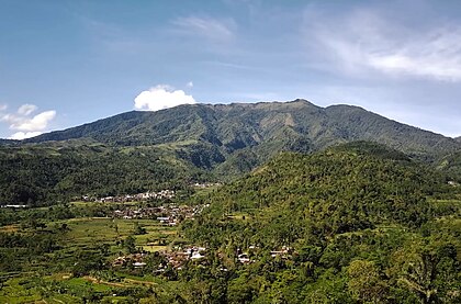
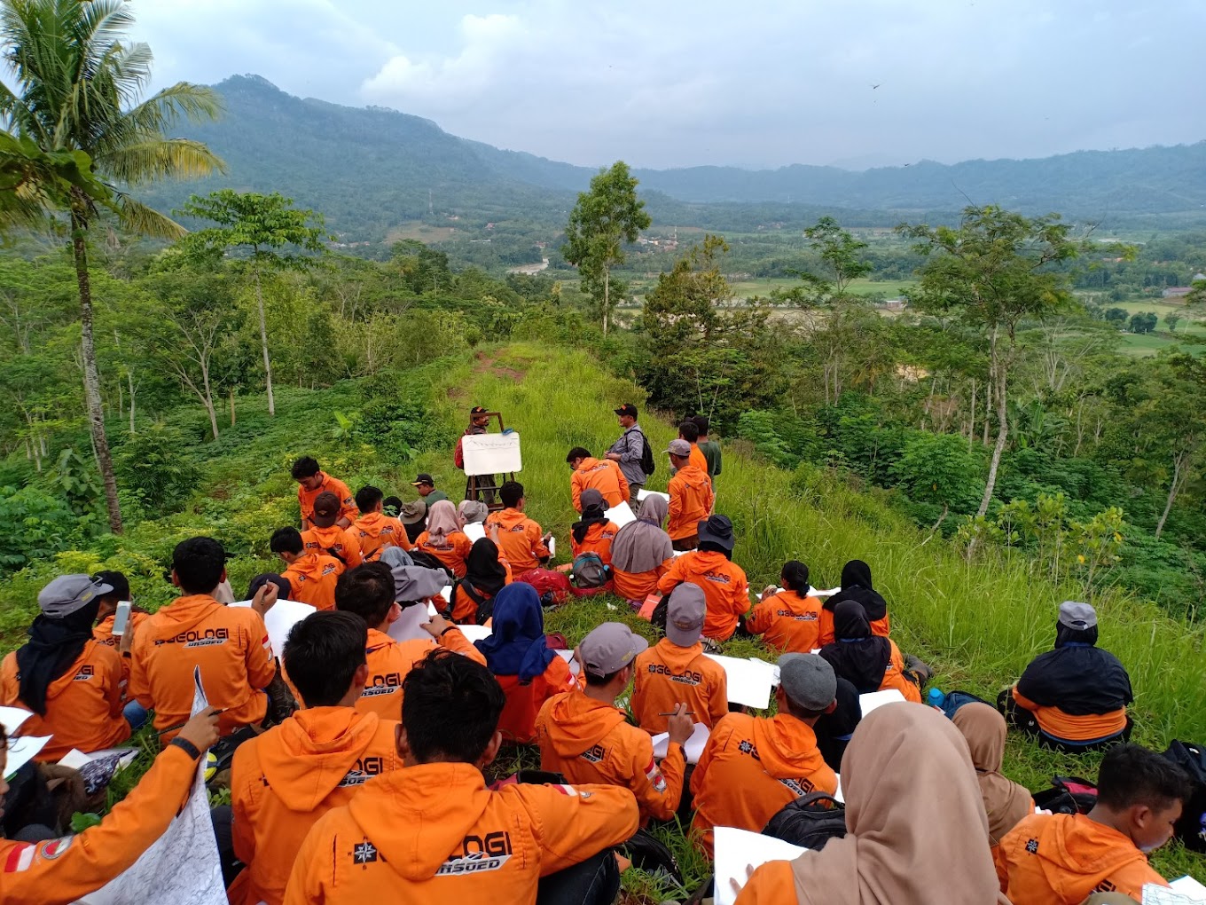
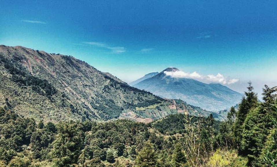
Kledung, Temanggung, Jateng
Mount Sindoro via Kledung
The hiking trail via Kledung Basecamp is one of the most popular and frequently used routes to climb Mount Sindoro. The basecamp is located in Kledung Village, situated at the border between Temanggung and Wonosobo Regencies, Central Java. This trail is managed by GRASINSDO (Gabungan Remaja Anak Sindoro) in collaboration with Perhutani and the Kledung Village Government.\n\nThis trail runs along the southeastern slope, making it the most ideal location for watching the sunrise. The beautiful scenery along the journey, formed by the landscapes of Mount Ungaran, Merbabu, Merapi, and Lawu, makes it a favorite choice for many hikers, especially due to its location on the edge of the Wonosobo-Temanggung highway.\n\nHiking via the Kledung trail usually takes about 8-10 hours, depending on the speed and physical condition of the hiker.
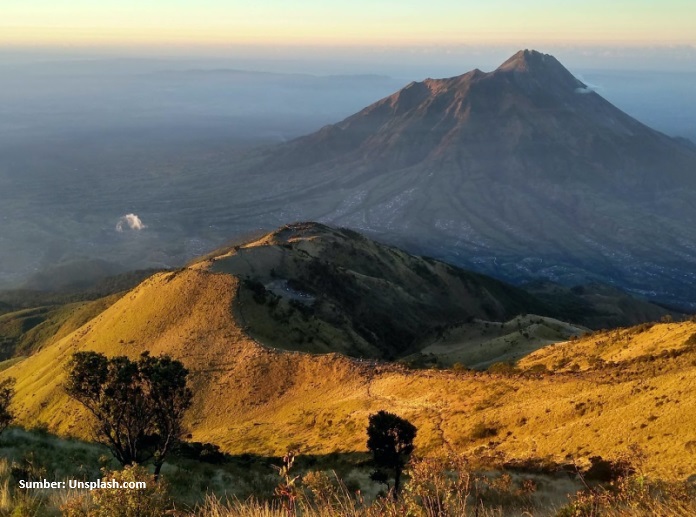
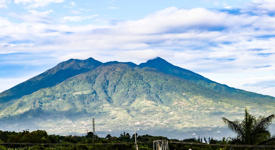
Patakbanteng, Wonosobo, Jateng
Prau (Parahu) via Patak Banteng
Favorite route Photo: Pipiet Wibwanto (googlemap - November 2025)
Ranupani, Lumajang, Jatim
Semeru via Ranu Pani
Popular basecamp
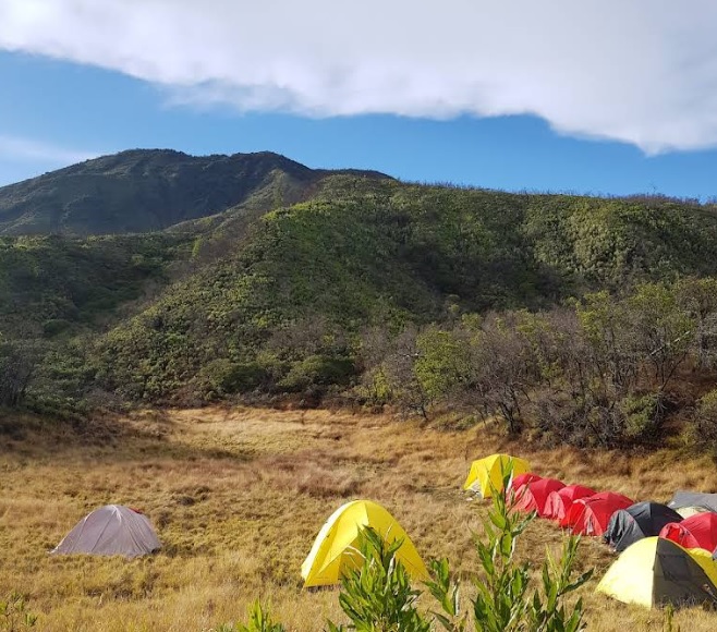
Suroteleng, Boyolali, Jateng
Merbabu via Selo
Pendakian Gunung Merbabu via Selo adalah sebuah petualangan yang memadukan tantangan fisik, keindahan alam, dan kepuasan spiritual. Gunung Merbabu, yang menjulang setinggi 3.145 meter di atas permukaan laut, menawarkan jalur pendakian yang populer melalui Kecamatan Selo, sebuah desa kecil yang terletak di antara Gunung Merbabu dan Gunung Merapi. Kecamatan Selo sendiri sudah menjadi ikon bagi para pendaki karena aksesnya yang relatif mudah dan pemandangannya yang memukau. Perjalanan pendakian akan ditemani dengan sabana yang luas sebelum mencapai puncak.
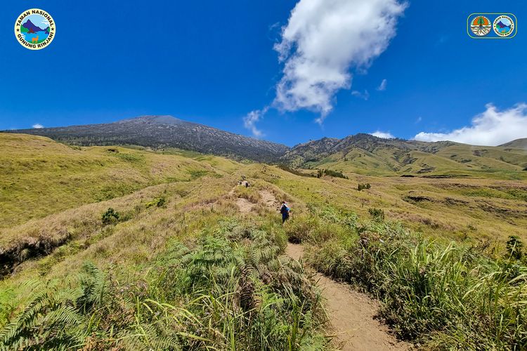
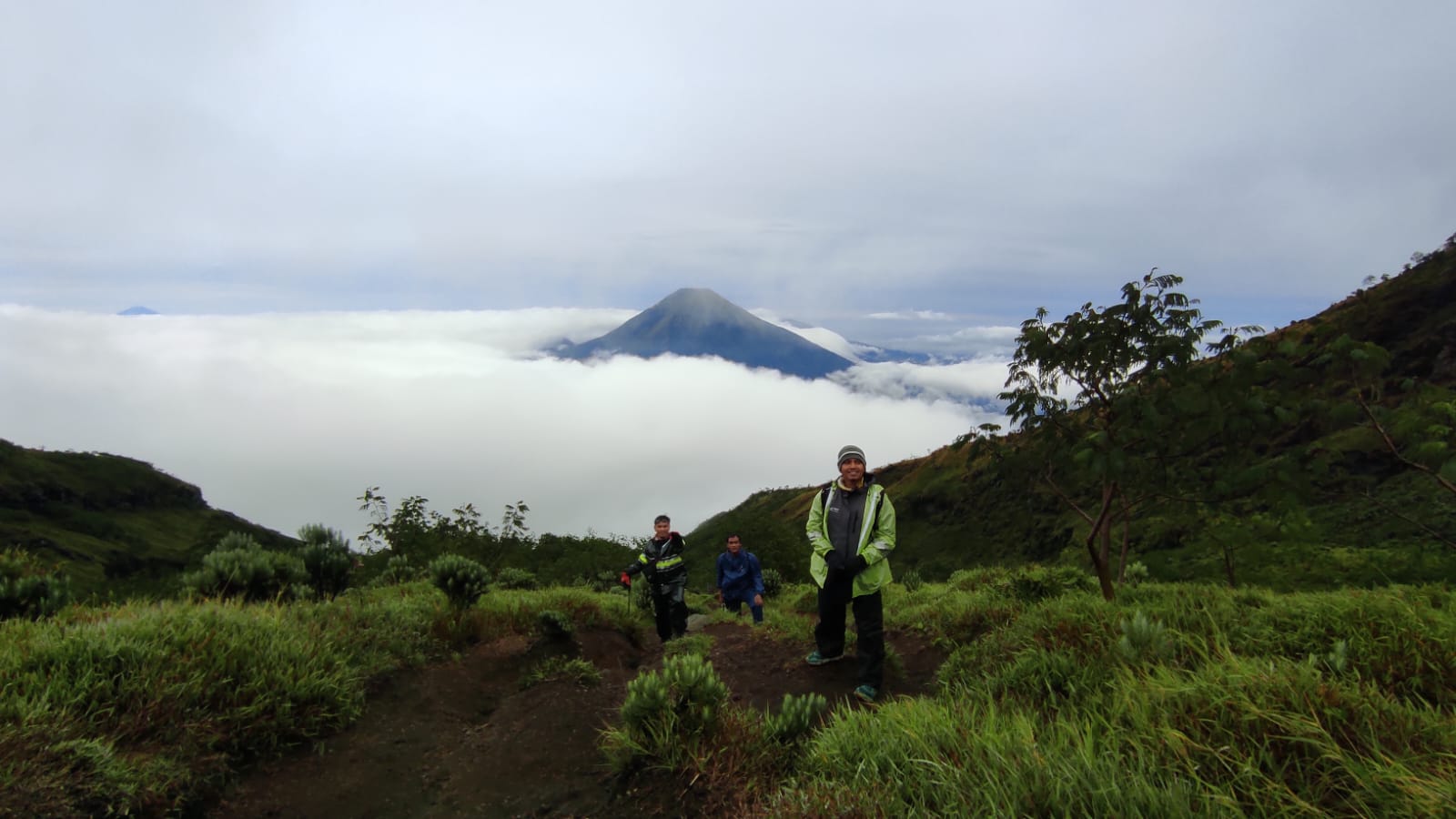
Sembalun, Lombok Timur, NTB
Rinjani via Sembalun
The Sembalun route to Rinjani is a favorite route that offers a combination of vast savannah beauty and physical challenges. Starting from Sembalun Village (1,156 meters above sea level), this route passes through grasslands that stretch to Post 3 before steeply climbing to Plawangan Sembalun at an altitude of 2,639 meters above sea level. Hikers are treated to spectacular views of green valleys, the Indian Ocean panorama, and the iconic summit trail. Although the trek is heavy, especially on the ascent to the summit, the experience of watching the sunrise at the Rinjani Summit (3,726 meters above sea level) makes this route an unforgettable journey.
Kutabawa, Purbalingga, Jateng
Slamet via Bambangan
The Bambangan route to Mount Slamet in Purbalingga has a length of approximately 7 km, with an ascent time of 8-12 hours and a descent time of 5-7 hours. Starting from the base camp at an altitude of ±1,480 meters above sea level, hikers pass through 9 main posts to reach the summit at 3,428 meters above sea level. The initial route is relatively gentle with tropical forest vegetation, but from Post 3, the incline becomes steeper, rockier, and more challenging above Post 7 to the volcanic rock zone towards the summit. With an average slope of 30-45 degrees, this route demands good stamina, especially when facing strong winds and low temperatures down to 5°C at the summit. Along the way, hikers are treated to the beauty of dense forests, green valleys, and panoramic views of other mountains such as Merapi, Merbabu, Sindoro, and Ciremai. Basic facilities are available at the Bambangan Basecamp, and this route often becomes a favorite due to its accessibility, although it remains challenging for intermediate to advanced hikers.
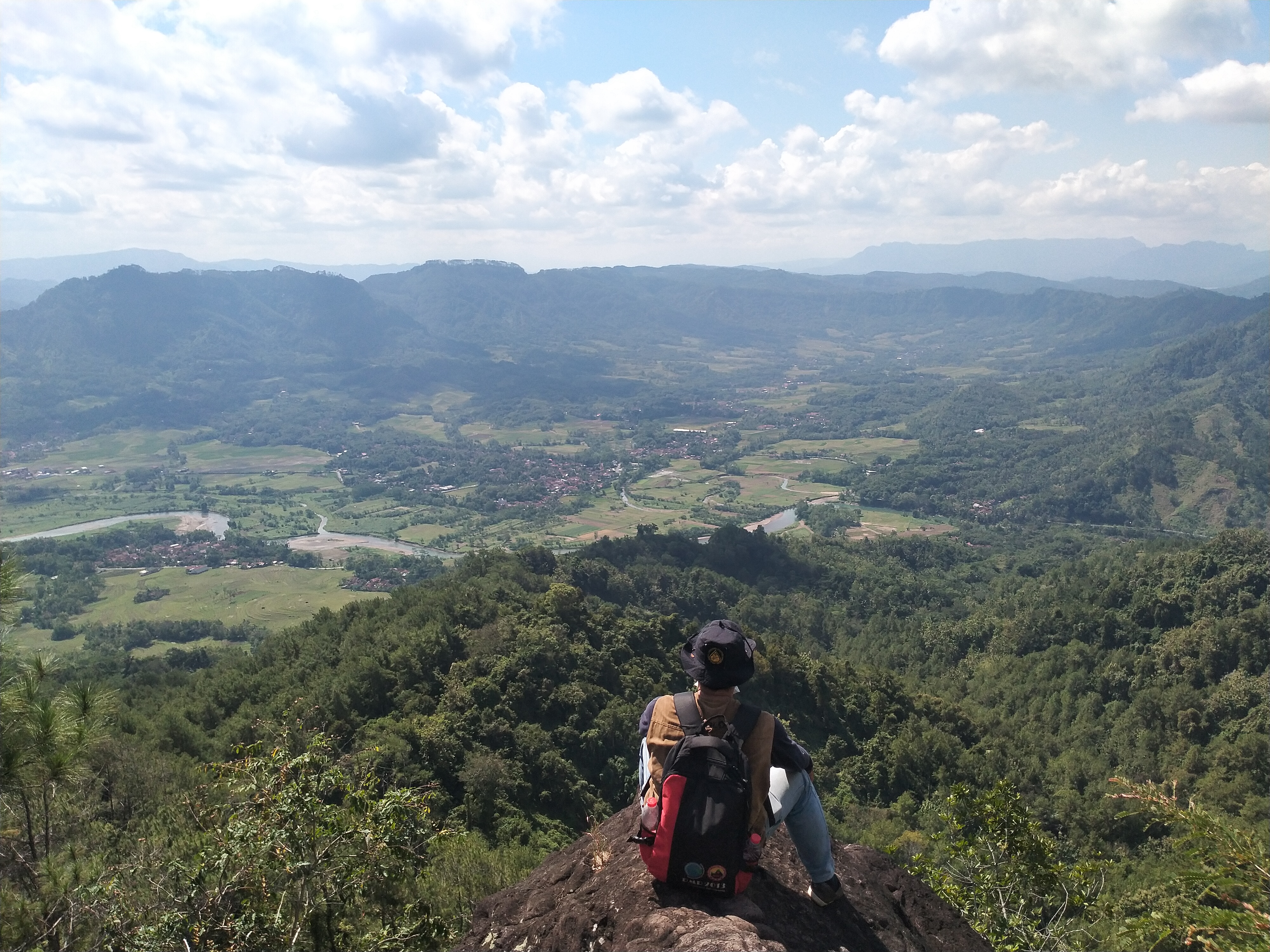
Pejagoan, Kebumen, Jateng
Brujul (Geosite) via Pejagoan
A spot to view the Karangsambang Amphitheater from the south side. The peak is composed of volcanic breccia from the Waturanda Formation.
Ketenger, Banyumas, Jateng
Slamet via Baturraden
The Baturaden hiking trail on Mount Slamet offers a challenging hiking experience with a trail length of approximately 8 km and an estimated hiking time of 10-12 hours to the summit, depending on the hiker's speed. Starting from an altitude of around 650 meters above sea level in the Baturaden tourist area, this trail takes hikers through dense tropical rainforests, natural vegetation, and diverse wildlife. The terrain is steep with sharp inclines reaching a slope of 40-60 degrees at several points, especially near the summit at an altitude of 3,428 meters above sea level, making it suitable for experienced hikers. The pristine condition of this trail, which is relatively less traveled, provides an exclusive atmosphere, while the summit offers a spectacular view of Central Java, including rolling clouds and surrounding mountains.
Wonotirto, Kebumen, Jateng
Wagir Sambeng (Geosite) via Wonotirto
The alternation between red limestone and chert is one of the most iconic geological landscapes in Karangsambung, especially those exposed in the Muncar River. Sedimentologically, this unit provides vital information about the deep sea conditions in the past.
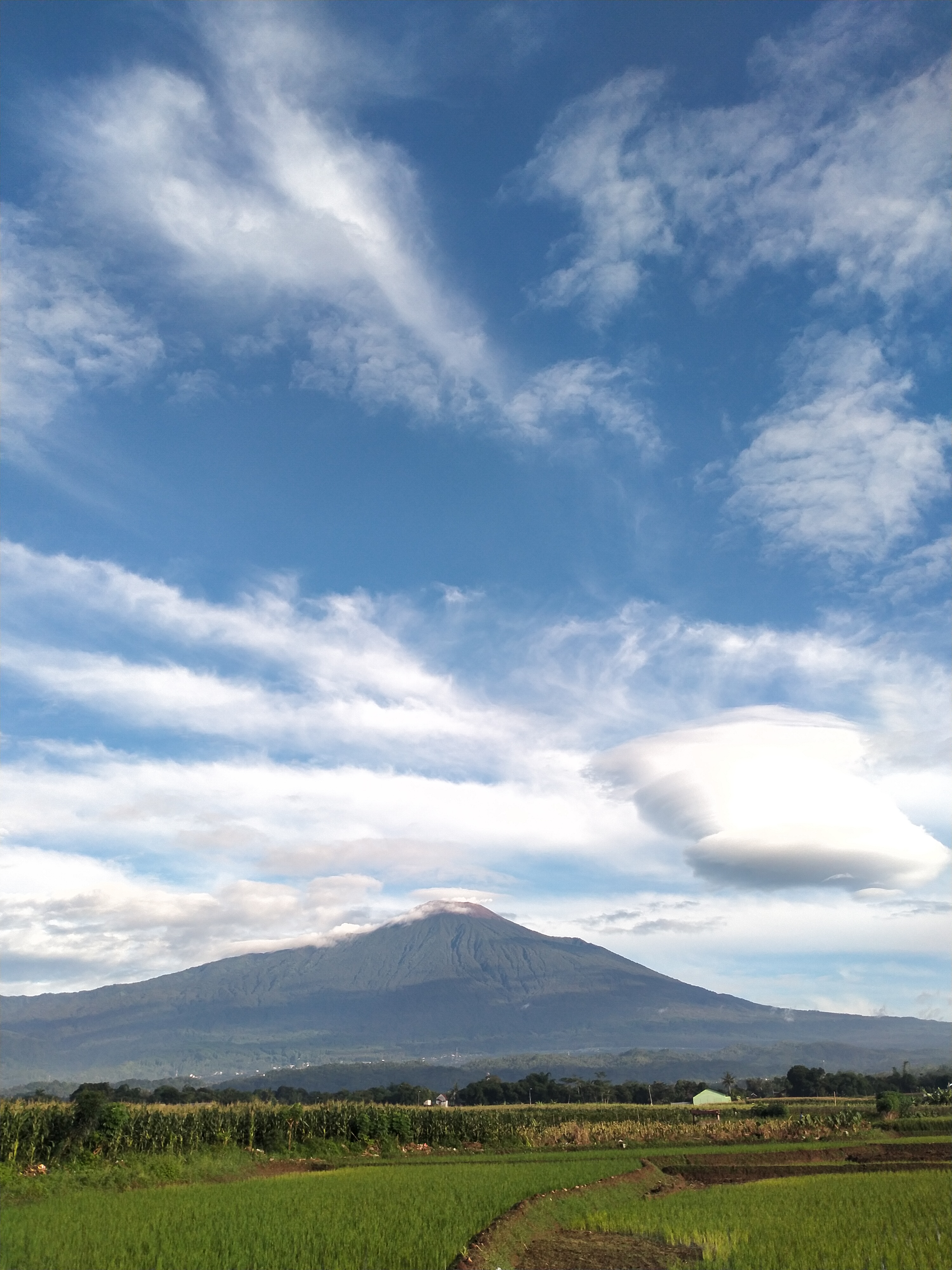
Garung, Wonosobo, Jateng
Sumbing via Garung
Mount Sumbing, one of the highest mountains in Java with an altitude of around 3,371 meters above sea level. This route becomes a favorite because of its relatively easy access and beautiful scenery. Garung Basecamp, located at an altitude of around 1,500 meters above sea level, has complete facilities such as bathrooms, rest areas, and food stalls. Usually, climbers register and prepare logistics here.
Guci, Tegal, Jateng
Slamet via Guci
The hiking trail of Mount Slamet via Guci, Tegal, is one of the favorite routes because it offers stunning natural scenery and relatively good accessibility. This trail is approximately 10 km long with an average travel time of 7-10 hours, depending on the hiker's physical condition and weather. The hiking post starts at an altitude of around 1,300 meters above sea level, passing through several posts such as Pos Kalipagu, Pos Bengkok, and Pos Cemara until reaching the summit at an altitude of 3,428 meters above sea level. The hiking terrain varies, ranging from relatively flat earth trails to steep rocky climbs near the summit. The vegetation along the trail is dominated by dense tropical forests at the beginning of the journey, which then changes to mountainous shrubs at higher elevations. This trail also offers beautiful panoramas in the form of green valleys, natural springs, and cool air, making it a challenging yet satisfying hiking experience.
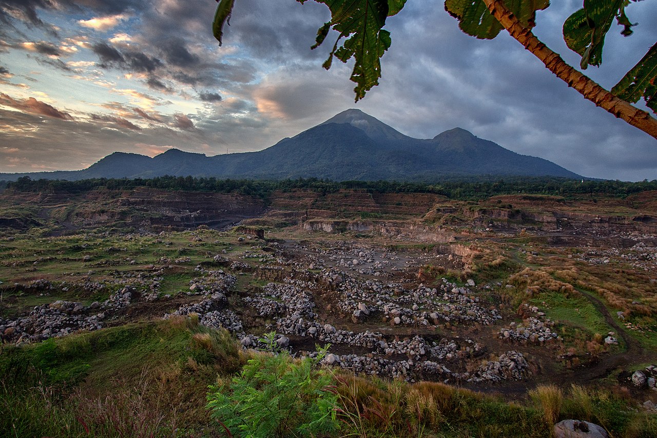
Ngancar, Magetan, Jatim
Lawu via Cemoro Sewu
Favorite hiking route
Compare Trails
Which way is tougher — this route or that one?
See two routes up the same mountain, side by side — then decide.

Senaru, Lombok Utara, NTB
Rinjani via Senaru
- Elev
- 3,726m
- Distance
- 22.7 km
- Duration
- 16.1 hours
Featured
Sembalun, Lombok Timur, NTB
Rinjani via Sembalun
- Elev
- 3,726m
- Distance
- 16.4 km
- Duration
- 9.3 hours
Kutabawa, Purbalingga, Jateng
Slamet via Bambangan
- Elev
- 3,432m
- Distance
- 6.2 km
- Duration
- 6.8 hours
Ketenger, Banyumas, Jateng
Slamet via Baturraden
- Elev
- 3,432m
- Distance
- 7.6 km
- Duration
- 9.3 hours

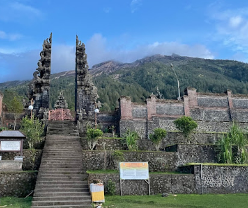
Besakih, Karangasem, Bali
Agung via The Great Temple of Besakih
- Elev
- 3,142m
- Distance
- 5.7 km
- Duration
- 7.5 hours
Sebudi, Karangasem, Bali
Agung via Pura Pasar Agung
- Elev
- 3,142m
- Distance
- 3.8 km
- Duration
- 6.3 hours
Patakbanteng, Wonosobo, Jateng
Prau (Parahu) via Patak Banteng
- Elev
- 2,590m
- Distance
- 3.3 km
- Duration
- 2.1 hours
Dataran Tinggi Dieng, Indonesia
Prau (Parahu) via Candi Dwarawati
- Elev
- 2,590m
- Distance
- 4.1 km
- Duration
- 1.5 hours
Tamiajeng, Mojokerto, Jatim
Penanggungan via Tamiajeng
- Elev
- 1,653m
- Distance
- 4.6 km
- Duration
- 4.3 hours
Kunjorowesi, Mojokerto, Jatim
Penanggungan via Kunjorowesi
- Elev
- 1,653m
- Distance
- 3.0 km
- Duration
- 4.6 hours
Overall, Penanggungan via Kunjorowesi is the more challenging climb.
Compare in full
Cibodas, Cianjur, Jabar
Gede via Cibodas
- Elev
- 2,961m
- Distance
- 9.4 km
- Duration
- 5.3 hours

Cibodas, Cianjur, Jabar
Gede via Mount Putri
- Elev
- 2,961m
- Distance
- 7.5 km
- Duration
- 4.9 hours
 Featured
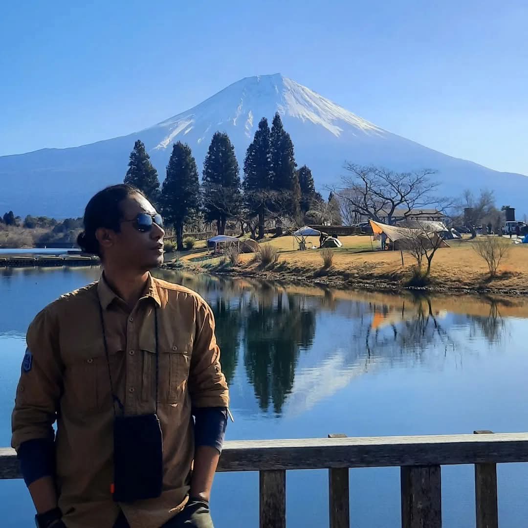
Fuji-Hakone-Izu National Park, Japan
Fuji via 5th Station Lounge
- Elev
- 3,776m
- Distance
- 7.8 km
- Duration
- 4.5 hours
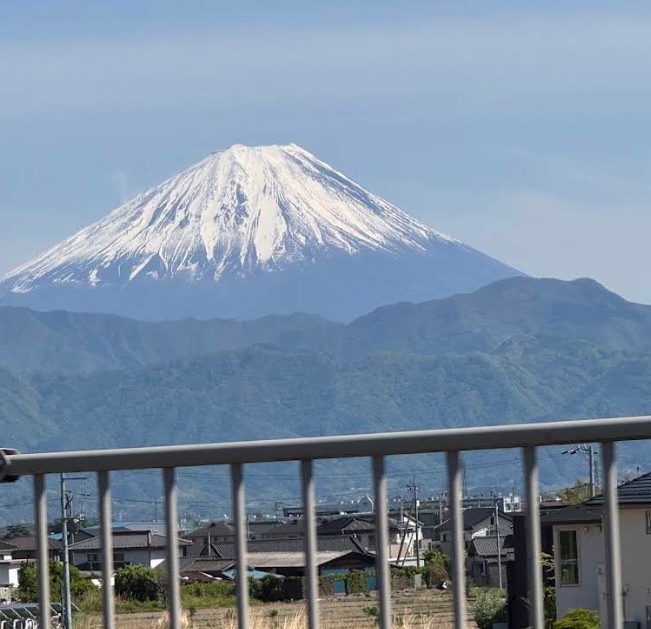
Sunto District, Japan
Fuji via Subashiri Trail
- Elev
- 3,776m
- Distance
- 9.5 km
- Duration
- 5.4 hours
Overall, Fuji via Subashiri Trail is the more challenging climb.
Compare in full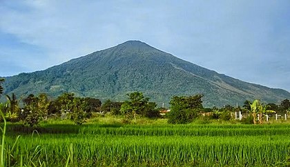
Argamukti, Majalengka, Jabar
Ciremai via Apuy
- Elev
- 3,078m
- Distance
- 9.0 km
- Duration
- 5.6 hours
Payung, Majalengka, Jabar
Ciremai via Sadarehe
- Elev
- 3,078m
- Distance
- 6.9 km
- Duration
- 6.2 hours
Overall, Ciremai via Sadarehe is the more challenging climb.
Compare in full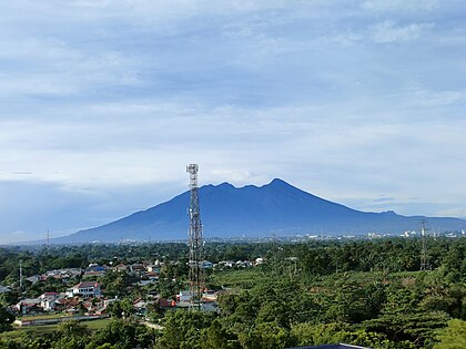
Cidahu, Sukabumi, Jabar
Salak via Javana Spa Cidahu
- Elev
- 2,215m
- Distance
- 6.6 km
- Duration
- 3.1 hours
Ciapus, Bogor, Jabar
Salak via Ajisaka
- Elev
- 2,215m
- Distance
- 9.2 km
- Duration
- 6.1 hours
Tegaljati, Bondowoso, Jatim
Raung via Sumberwringin
- Elev
- 3,332m
- Distance
- 10.3 km
- Duration
- 7.6 hours
Kalibaruwetan, Banyuwangi, Jatim
Raung via Kalibaruwetan
- Elev
- 3,332m
- Distance
- 15.4 km
- Duration
- 12.0 hours
muncak.id Ecosystem
Three tools. One journey.
Pick a trail here, plan your gear in Bekal, then match your profile in Rekomendasi — all in one ecosystem.
Explore trails, read reviews, check weather forecasts, and watch peak live cams.
Automatic gear list tailored to mountain, duration, and season — synced with your chosen trail.
Trail recommendation system based on experience, fitness, and scenery preferences.


About muncak.id
Public research, for public hikers.
muncak.id is an application designed to help hikers by providing comprehensive and structured mountain hiking guides, so that every step of the journey can be carefully planned.
In addition, this application provides integrated information for hikers who want ease in planning mountain climbing and mountain exploration in Indonesia and abroad. With access to various important information, users can be better prepared and confident in facing the challenges of nature.
Developer
Tropical Adventure Technology Development Center. Industrial Engineering, Geological Engineering and Informatics Laboratory, Universitas Jenderal Soedirman.
Key features
What sets muncak.id apart.
Complete Information
Providing detailed, complete, and reliable information for every hiking trail
Hiker Reviews
Check info accuracy and current trail conditions from other hikers
Weather & Calorie Forecast
View weather forecasts and estimated calories burned during your hike
Maps & Waypoints
Explore maps and key points for easier navigation