Wonosobo, Jateng
Prau (Parahu) via Patak Banteng
Popular
193 hikers viewed this trail in the last 7 days
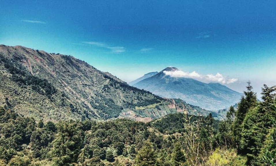
Favorite route Photo: Pipiet Wibwanto (googlemap - November 2025)
Hiking Trail Suitable For Intermediate
Statistics
- Elevation Gain
- 547m
-
Total Distance
The value shown is the total ASCENDING distance
- 3.33km
-
Travel Time
This travel time is the time taken for the ASCENDING journey only and does not account for rest stops along the way or overnight stays
- 2.1hours
-
Calories
The value shown is the calories used for ASCENDING and DESCENDING journeys, excluding calories needed during rest stops along the hike or for overnight stays
- kcal
Map & route
View the route
Trail waypoints
Every point along the trail
-
01

Basecamp
Basecamp jalur populer Foto: https://www.linasasmita.com/2015/08/pendakian-gunung-prau-via-patak-banteng.html
Elev 1996 m -
02
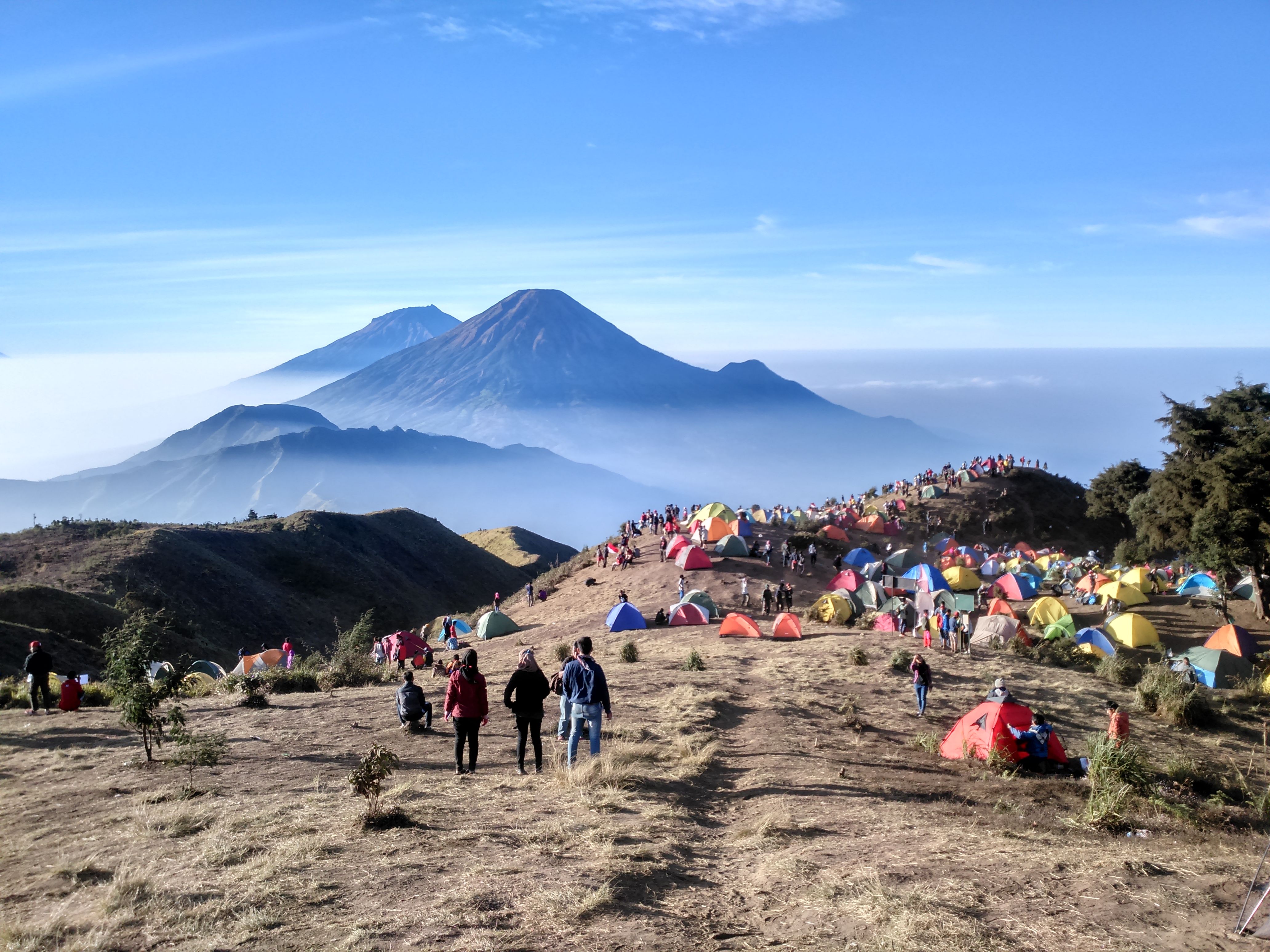
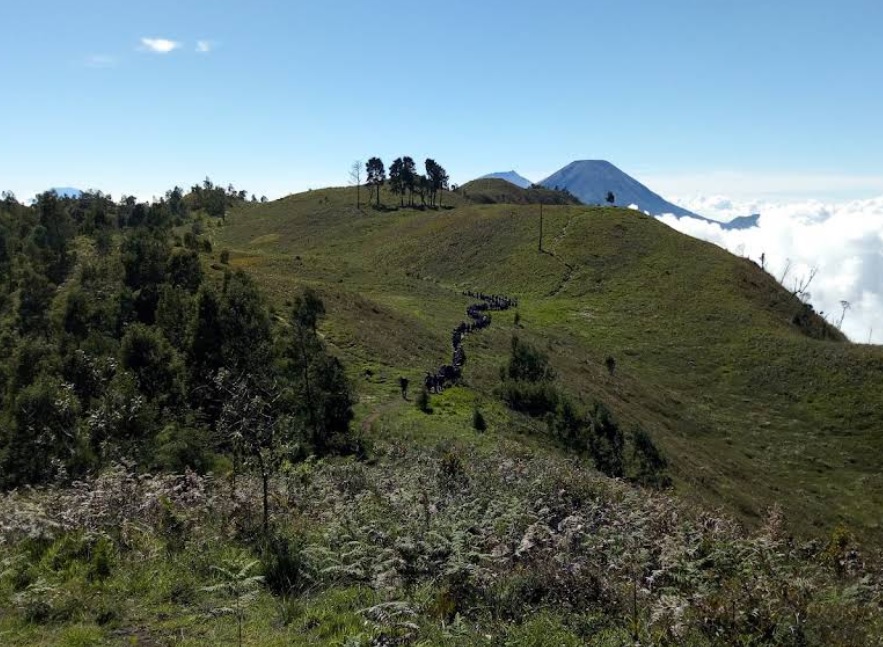
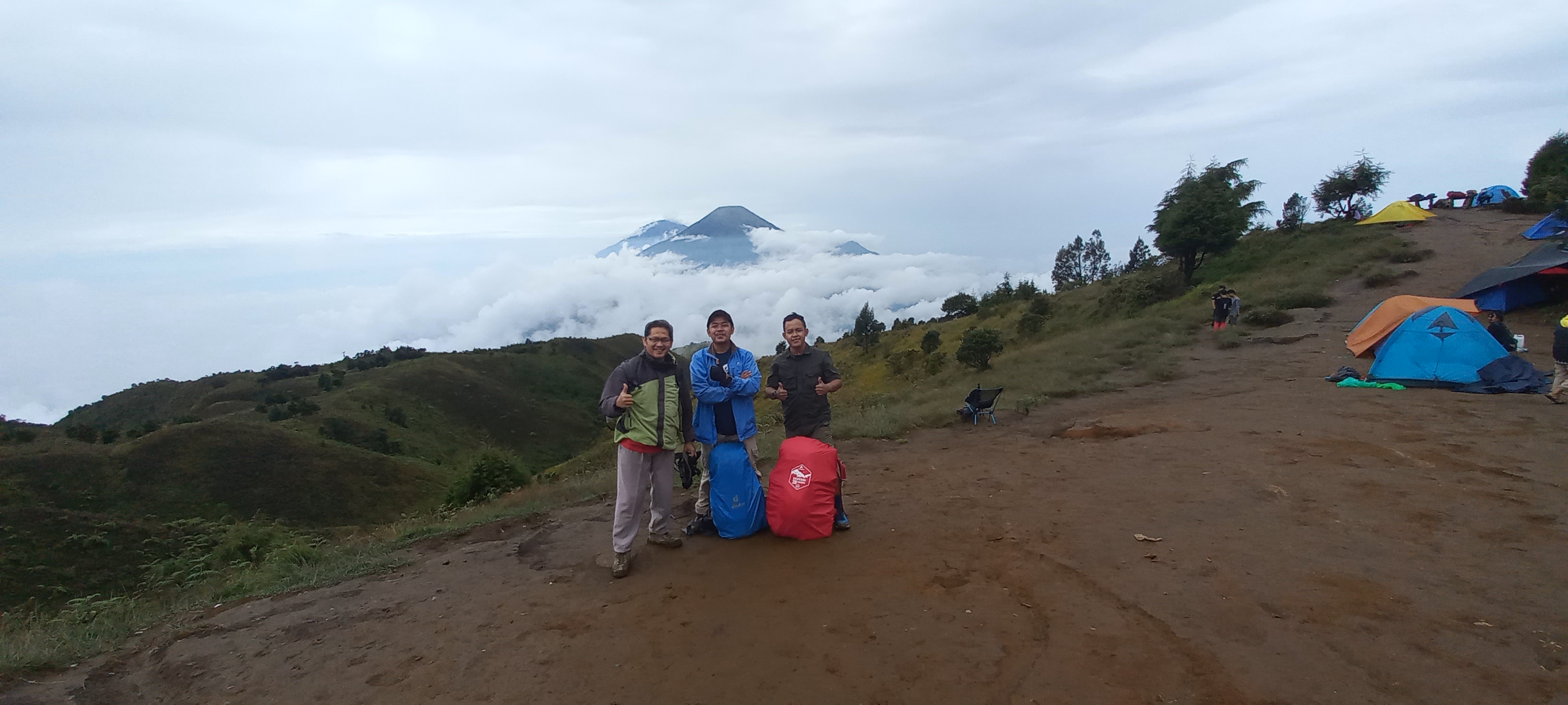
Puncak (Camp)
Foto: https://www.perumperindo.co.id/gunung-prau-wonosobo/
Elev 2543 m Duration 2.1 hours Calories 1,325 kcal -
See full segmentation
Elevation profile, distance & time for each segment
Weather Conditions
Forecast at official points
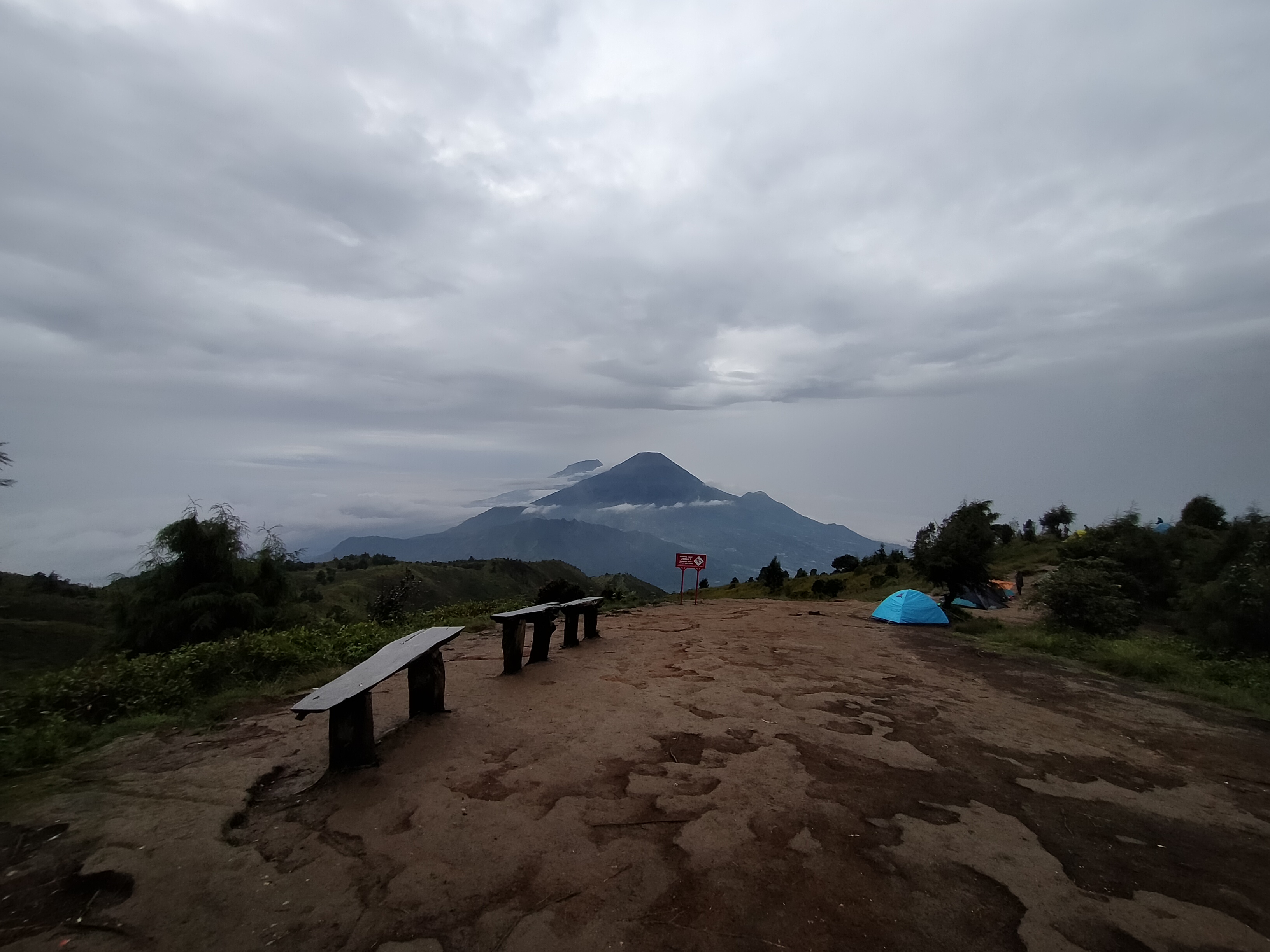
Basecamp
1,996 m
Tuesday
21 July · 13:00

Fog
18 °C
0.7 km/h
Wednesday
22 July · 13:00

Cloudy
18 °C
1.9 km/h
Thursday
23 July · 13:00
Clear
18 °C
3.7 km/h
ⓘ The weather conditions above are data from Open Meteo
See 7-day forecastInformation
Details you need to know
- Water source on the Patakbanteng hiking trail to Mount Prau is not directly available on the trail, but the basecamp manager has created a water pipe that channels water from the spring to the hiking trail through a tap that can be opened and closed. So, hikers can take water from the tap. (23-06-2025)
- Starting January 19, 2026, the entire Mount Prau hiking trail will be closed. The temporary closure will last for two months and will reopen on March 21, 2026, for mountain cleaning, improvement, and evaluation of hiking activities. (12-01-2026)
none at this time
ⓘ Last updated on Jumat, 3 Juli 2026
Hiker Reviews
Stories from other hikers

100%
recommend · 8 hikers
Weather forecast
—
No data yet
Trail info
—
No data yet
Water source
—
No data yet
No Reviews Yet
Be the first to share your experience and review this hiking trail!
Error!
An error occurred while fetching reviews for this hiking trail.
Other routes