Kebumen, Jateng
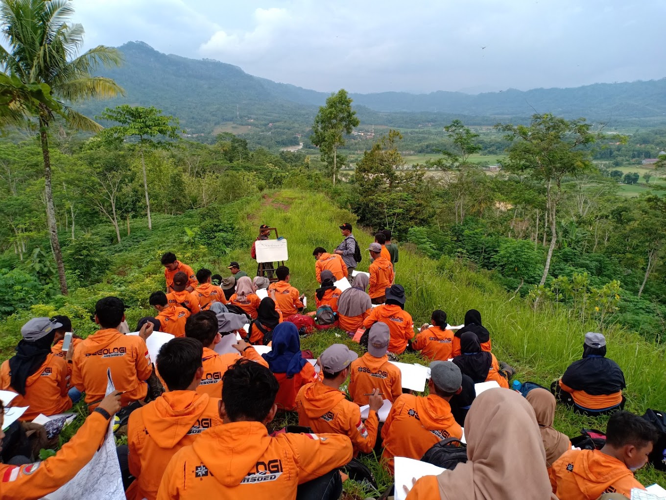
Wagir Sambeng (Geosite) via Wonotirto
11 hikers viewed this trail in the last 7 days
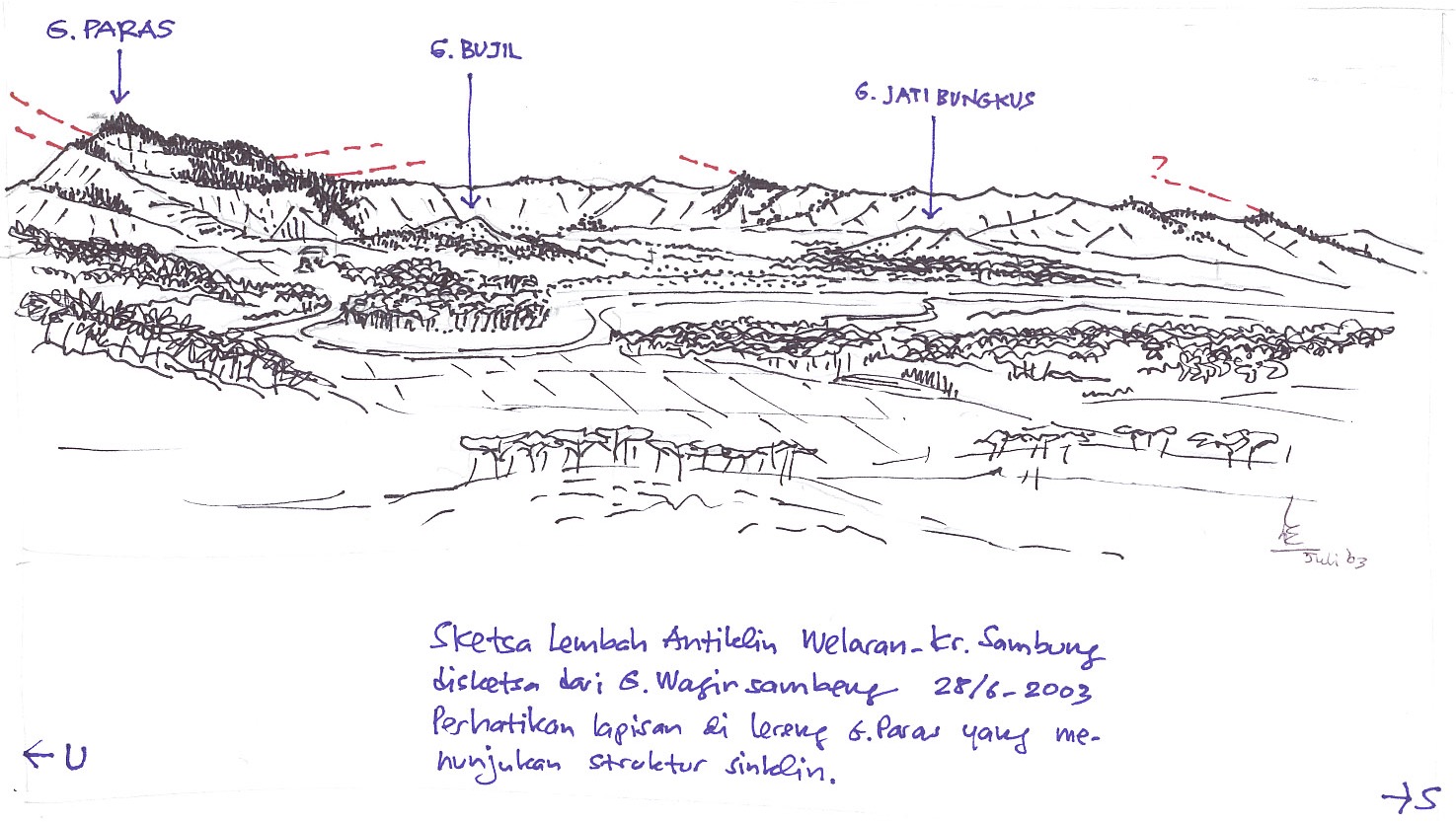
The alternation between red limestone and chert is one of the most iconic geological landscapes in Karangsambung, especially those exposed in the Muncar River. Sedimentologically, this unit provides vital information about the deep sea conditions in the past.
Hiking Trail Suitable For Beginner
Statistics
- Elevation Gain
- 76m
-
Total Distance
The value shown is the total ASCENDING distance
- 3.52km
-
Travel Time
This travel time is the time taken for the ASCENDING journey only and does not account for rest stops along the way or overnight stays
- 4.6hours
-
Calories
The value shown is the calories used for ASCENDING and DESCENDING journeys, excluding calories needed during rest stops along the hike or for overnight stays
- kcal
Map & route
View the route
Trail waypoints
Every point along the trail
-
01
Kampus BRIN Karangsambung
Elev 89 m -
02
Puncak Wagir Sambeng
Elev 165 m Duration 4.6 hours Calories 1,837 kcal -
See full segmentation
Elevation profile, distance & time for each segment
Weather Conditions
Forecast at official points
Kampus BRIN Karangsambung
89 m
Tuesday
21 July · 13:00
Clear
30 °C
16.5 km/h
Wednesday
22 July · 13:00

Cloudy
28 °C
17.0 km/h
Thursday
23 July · 13:00

Fog
28 °C
20.0 km/h
ⓘ The weather conditions above are data from Open Meteo
See 7-day forecastInformation
Details you need to know
- Pendakian Gunung Wangit Sambeng via Wonotirto dilaporkan memiliki sumber air terbatas dan tidak selalu tersedia di jalur, sehingga pendaki disarankan membawa persediaan air yang cukup sejak dari basecamp.
ⓘ Last updated on Sabtu, 25 April 2026
Hiker Reviews
Stories from other hikers
0%
recommend · 0 hikers
Weather forecast
—
No data yet
Trail info
—
No data yet
Water source
—
No data yet
No Reviews Yet
Be the first to share your experience and review this hiking trail!
Error!
An error occurred while fetching reviews for this hiking trail.