Boyolali, Jateng
Merbabu via Selo
Fairly busy
59 hikers viewed this trail in the last 7 days
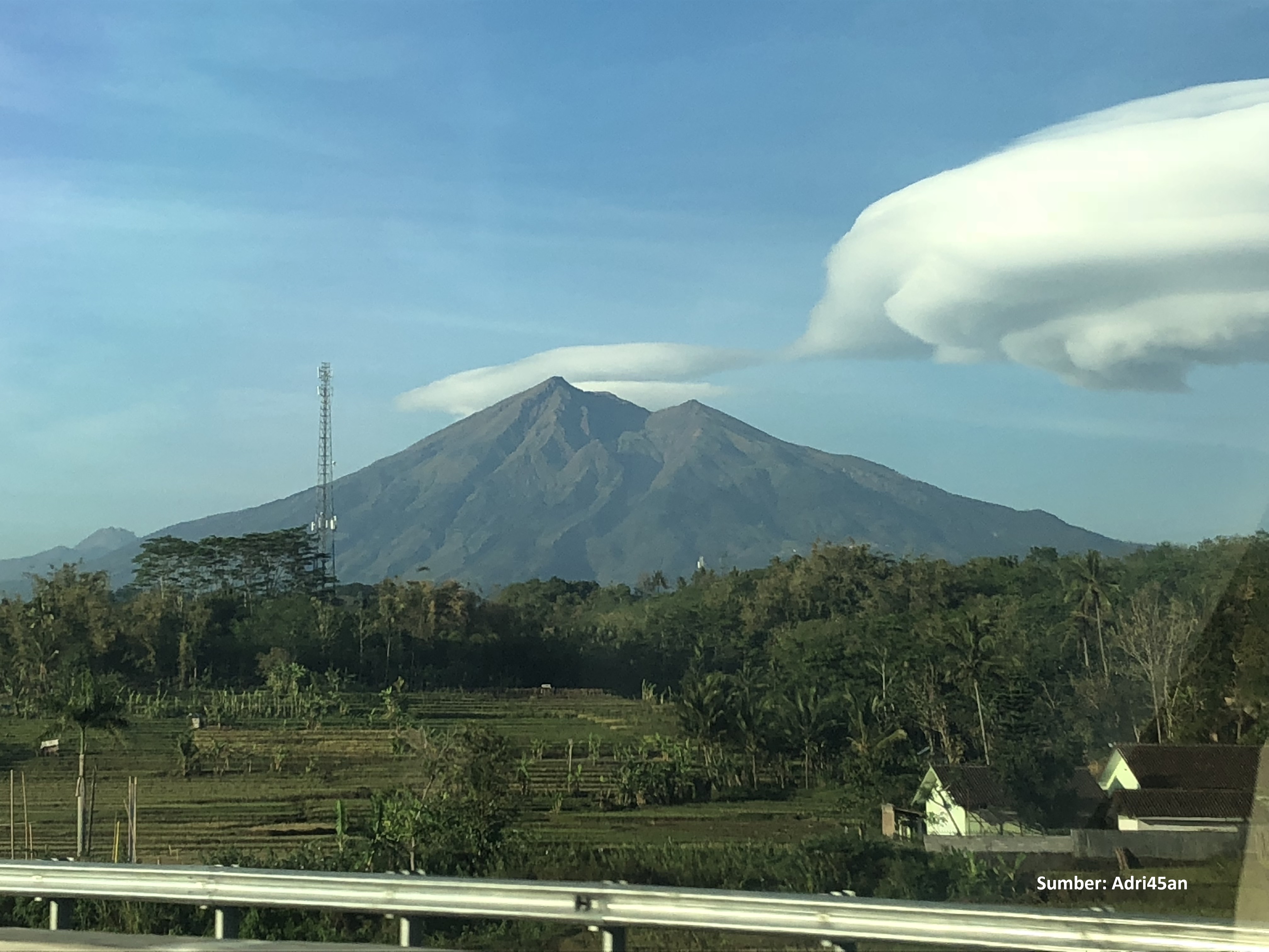
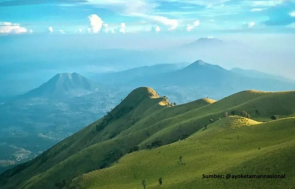
Pendakian Gunung Merbabu via Selo adalah sebuah petualangan yang memadukan tantangan fisik, keindahan alam, dan kepuasan spiritual. Gunung Merbabu, yang menjulang setinggi 3.145 meter di atas permukaan laut, menawarkan jalur pendakian yang populer melalui Kecamatan Selo, sebuah desa kecil yang terletak di antara Gunung Merbabu dan Gunung Merapi. Kecamatan Selo sendiri sudah menjadi ikon bagi para pendaki karena aksesnya yang relatif mudah dan pemandangannya yang memukau. Perjalanan pendakian akan ditemani dengan sabana yang luas sebelum mencapai puncak.
Hiking Trail Suitable For Recreational
Moderate to high altitude (2,500–3,500 masl) with moderate elevation gain (500–1,500 m), medium trail length (5–10 km; 4–10 hours), moderate to steep slopes (16–25°).
Derived from
5.60 km · 1289 m · 3,145 masl · 27.2° · 9.6 hours round trip
Statistics
- Elevation Gain
- 1289m
-
Total Distance
The value shown is the total ASCENDING distance
- 5.60km
-
Travel Time
This travel time is the time taken for the ASCENDING journey only and does not account for rest stops along the way or overnight stays. The difficulty level is derived from the round-trip time, which is twice this value
- 4.8hours
-
Calories
The value shown is the calories used for ASCENDING and DESCENDING journeys, excluding calories needed during rest stops along the hike or for overnight stays
- kcal
- Altitude
- 3,145masl
-
Steepness
Trail steepness is taken at the 95th percentile across all segments, with very short segments discarded so GPS noise does not overstate the value
- 27.2°C3
Map & route
View the route
Trail waypoints
Every point along the trail
-
01Elev 1856 m
-
02

Triangulasi
Elev 3145 m Duration 4.8 hours Calories 3,094 kcal -
See full segmentation
Elevation profile, distance & time for each segment
Weather Conditions
Forecast at official points
1,856 m
Monday
19 October · 13:00

Partly Cloudy
23 °C
10.1 km/h
Tuesday
20 October · 13:00

Clear
23 °C
9.6 km/h
Wednesday
21 October · 13:00

Fog
22 °C
8.0 km/h
ⓘ The weather conditions above are data from Open Meteo
See 7-day forecastInformation
Details you need to know
- Penggunaan gelang pelacak (RFID) Radio Frequency IDentification, untuk pencegahan pendaki tersesat atau hilang, 1 kelömpok pendakian mendapatkan hanya 1 gelang ( 12-06-2025 )
- Jalur Selo ditutup sementara tgl 2 hingga 3 Agustus 2025 persiapan selesai (31-07-2025)
- Tidak ada sumber air alami di sepanjang jalur pendakian, bawalah air dan perbekalan yang cukup dari basecamp. (10-08-2025)
ⓘ Last updated on Jumat, 3 Juli 2026
Hiker Reviews
Stories from other hikers


100%
recommend · 8 hikers
Weather forecast
—
No data yet
Trail info
—
No data yet
Water source
—
No data yet
No Reviews Yet
Be the first to share your experience and review this hiking trail!
Error!
An error occurred while fetching reviews for this hiking trail.
Other routes
Other routes on Merbabu
117
100%
(2)
Popular
Batur, Semarang, Jateng
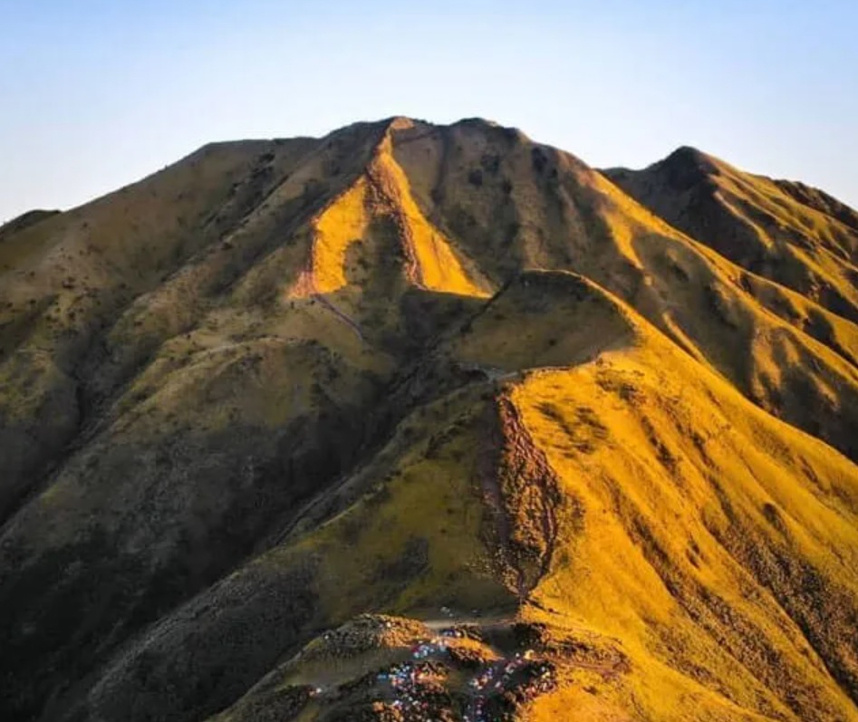
Merbabu via Thekelan
- Elev
- 3,145m
- Distance
- 6.9 km
- Duration
- 8.7 hours
171
100%
(1)
Popular
Banyuroto, Magelang, Jateng
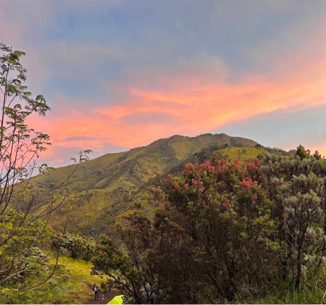
Merbabu via Suwanting
- Elev
- 3,145m
- Distance
- 6.6 km
- Duration
- 7.2 hours
Feedback
Help us improve accuracy and reliability
Wrong trail data, a forecast that missed, or something broken? Tell us on Instagram — that's where we read and reply.