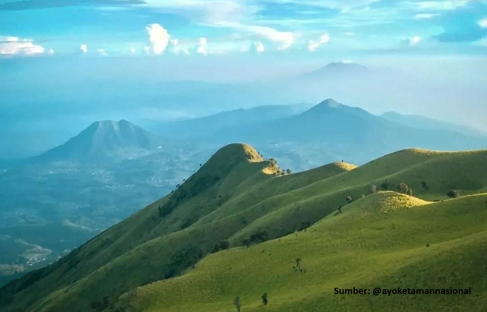
Semarang, Jateng
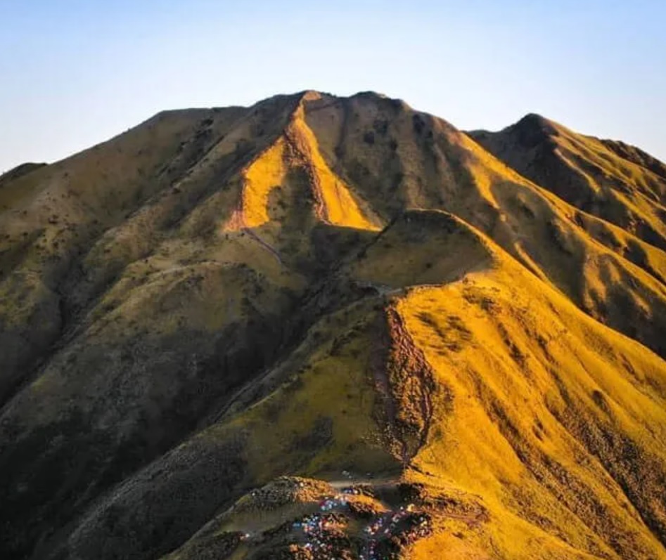
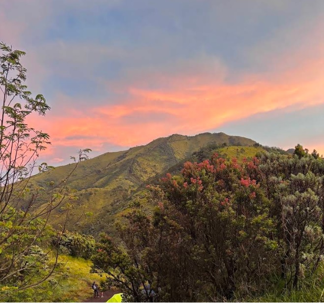
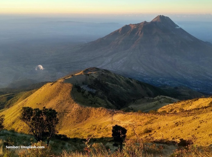
Merbabu via Thekelan
Popular
341 hikers viewed this trail in the last 7 days
Hiking Trail Suitable For Intermediate
Statistics
- Elevation Gain
- 1484m
-
Total Distance
The value shown is the total ASCENDING distance
- 6.90km
-
Travel Time
This travel time is the time taken for the ASCENDING journey only and does not account for rest stops along the way or overnight stays
- 8.7hours
-
Calories
The value shown is the calories used for ASCENDING and DESCENDING journeys, excluding calories needed during rest stops along the hike or for overnight stays
- kcal
Map & route
View the route
Trail waypoints
Every point along the trail
-
01Elev 1617 m
-
02
Kenteng Songo
Elev 3097 m Duration 8.7 hours Calories 4,563 kcal -
See full segmentation
Elevation profile, distance & time for each segment
Weather Conditions
Forecast at official points
1,617 m
Tuesday
21 July · 13:00
Clear
21 °C
6.3 km/h
Wednesday
22 July · 13:00

Cloudy
21 °C
7.3 km/h
Thursday
23 July · 13:00
Clear
20 °C
8.8 km/h
ⓘ The weather conditions above are data from Open Meteo
See 7-day forecastInformation
Details you need to know
- The Thekelan route is temporarily closed until preparations are completed (February 27, 2025)
- Use of tracking wristbands (RFID) Radio Frequency IDentification, for prevention of lost hikers, 1 hiking group gets only 1 wristband (June 12, 2025)
- Water sources on the Merbabu hiking trail via Thekelan can be found at several points, namely at Post 1, Post 2, and the Transmitter Post. In addition, there is also a water source before Post 3 located on the right side of the trail. (August 18, 2025)
- Ticket prices follow PP No. 36 of 2024
- Must comply with Hiking Tourism Protocols according to the Head of Balai Decree
- Online booking is mandatory at www.tngunungmerbabu.org
- The Thekelan route is temporarily closed from August 1 to 31, 2025, until preparations are completed (July 31, 2025)
ⓘ Last updated on Jumat, 3 Juli 2026
Hiker Reviews
Stories from other hikers
100%
recommend · 2 hikers
Weather forecast
—
No data yet
Trail info
—
No data yet
Water source
—
No data yet
No Reviews Yet
Be the first to share your experience and review this hiking trail!
Error!
An error occurred while fetching reviews for this hiking trail.
Other routes
Other routes on Merbabu
102
100%
(8)
Fairly busy
Suroteleng, Boyolali, Jateng
Merbabu via Selo
- Elev
- 3,145m
- Distance
- 5.6 km
- Duration
- 4.8 hours
300
100%
(1)
Popular
Banyuroto, Magelang, Jateng
Merbabu via Suwanting
- Elev
- 3,145m
- Distance
- 6.6 km
- Duration
- 7.2 hours