Plan your hike, before you go.
Providing integrated information for hikers who want ease in planning mountain climbing and mountain exploration in Indonesia and abroad
Hiking Trails
Showing 12 of 170 trails
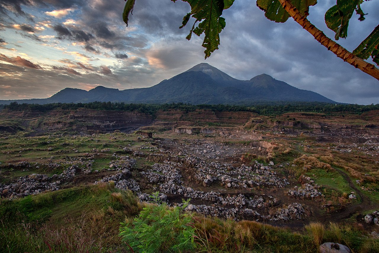
Tamiajeng, Mojokerto, Jatim
Penanggungan via Tamiajeng
- Elev
- 1,653m
- Distance
- 4.5 km
- Duration
- 4.3 hours

Butuh, Temanggung, Jateng
Sumbing via Butuh-Kaliangkrik
- Elev
- 3,371m
- Distance
- 6.5 km
- Duration
- 6.2 hours
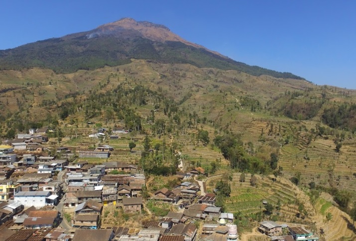
Banaran, Temanggung, Jateng
Sumbing via Banaran
- Elev
- 3,371m
- Distance
- 8.0 km
- Duration
- 8.3 hours
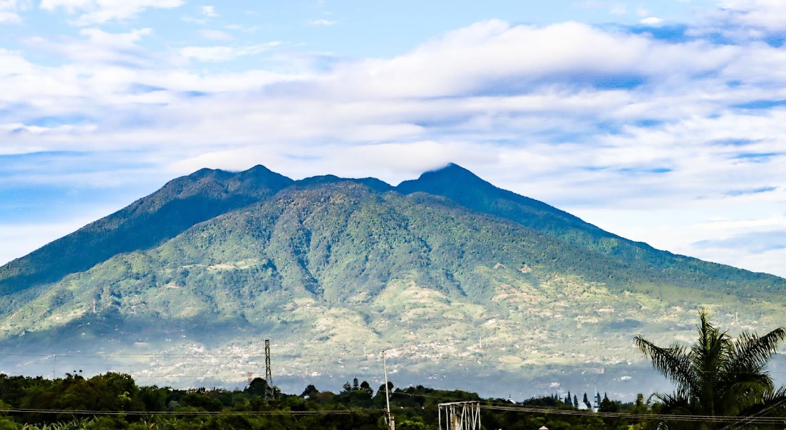
Ciapus, Bogor, Jabar
Salak via Ajisaka
- Elev
- 2,215m
- Distance
- 9.0 km
- Duration
- 6.2 hours
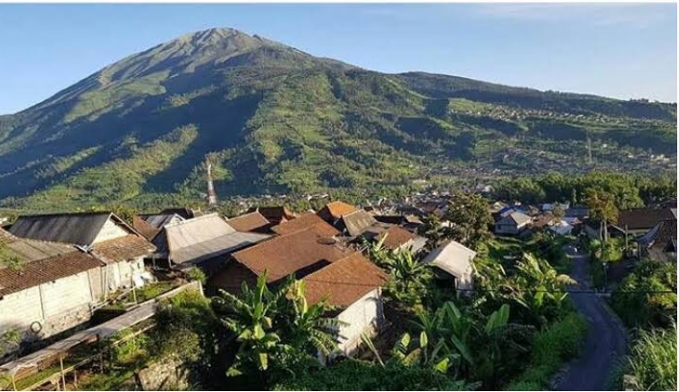
Gumeng, Karanganyar, Jateng
Lawu via Cetho Temple
- Elev
- 3,265m
- Distance
- 8.3 km
- Duration
- 6.5 hours
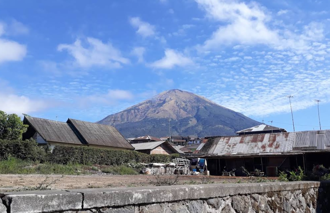
Reco, Wonosobo, Jateng
Mount Sindoro via Alang-alang Sewu
- Elev
- 3,146m
- Distance
- 7.9 km
- Duration
- 7.0 hours
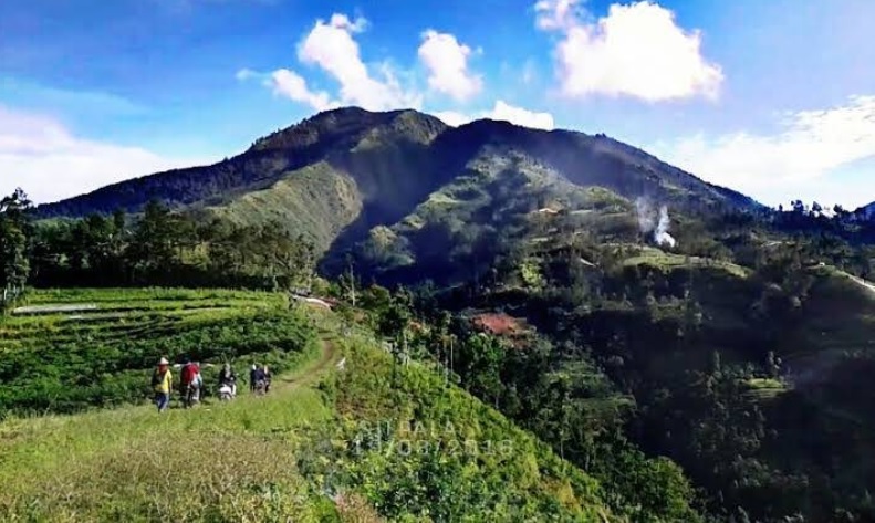
Sikunang, Wonosobo, Jateng
Bismo via Sikunang
- Elev
- 2,365m
- Distance
- 3.4 km
- Duration
- 1.3 hours
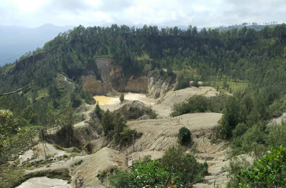
Inelika, Ngada, NTT
Kawah Wawomudha via Inelika (Wow Glamping)
- Elev
- 1,552m
- Distance
- 2.1 km
- Duration
- 1.0 hours
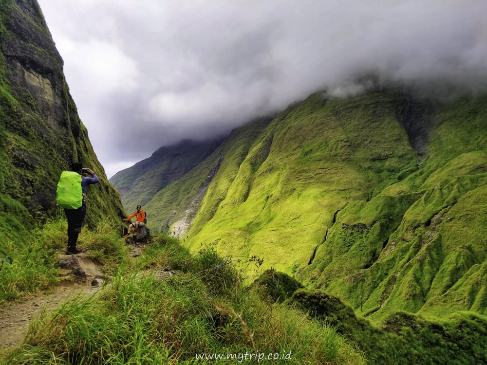
Loloan, Lombok Utara, NTB
Rinjani via Torean
- Elev
- 3,726m
- Distance
- 18.4 km
- Duration
- 13.0 hours
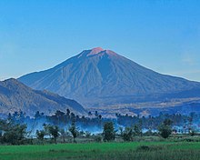
Kersik Tuo, Kerinci, Jambi
Kerinci via Kersik Tuo
- Elev
- 3,805m
- Distance
- 7.4 km
- Duration
- 6.4 hours
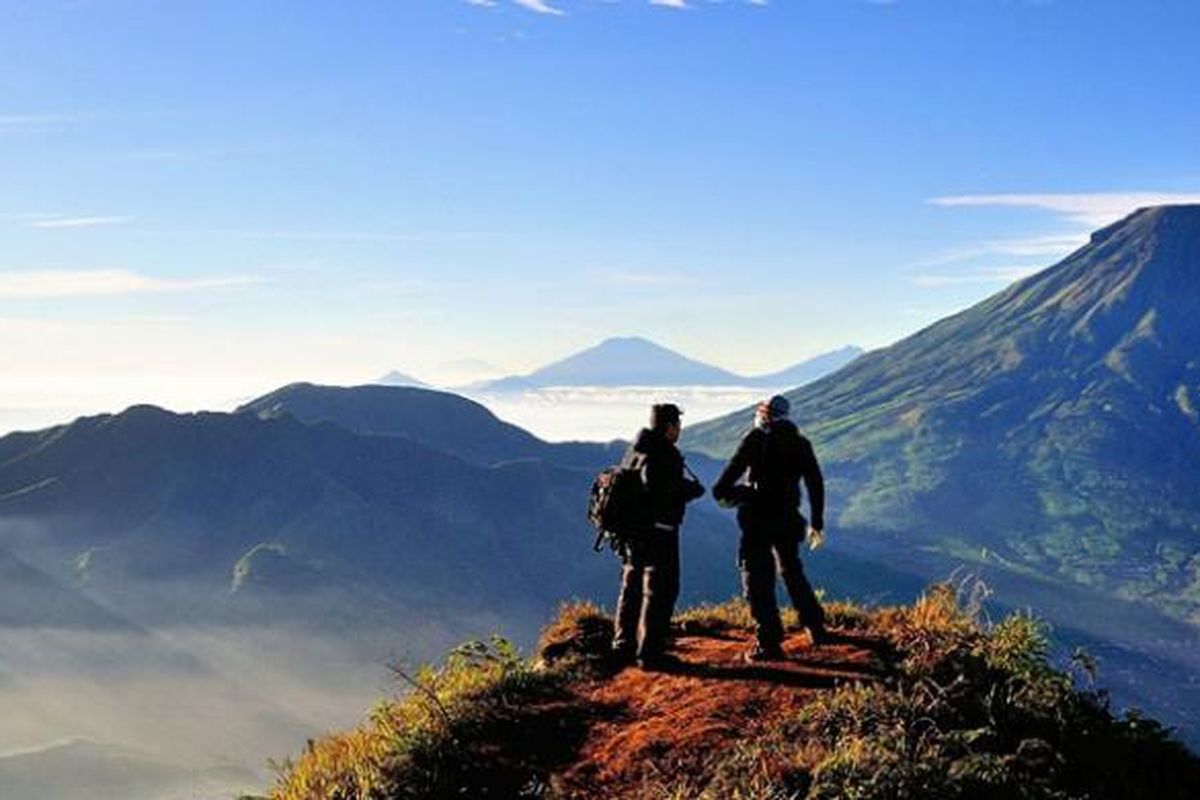
Sembungan, Wonosobo, Jateng
Sikunir via Telaga Cebong
- Elev
- 2,263m
- Distance
- 1.5 km
- Duration
- 1.2 hours
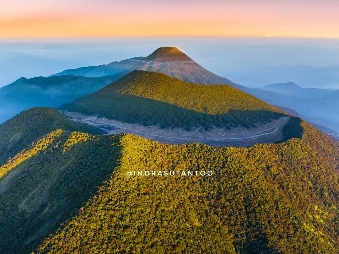
Cibodas, Cianjur, Jabar
Gede via Mount Putri
- Elev
- 2,961m
- Distance
- 7.4 km
- Duration
- 5.0 hours
Tamiajeng, Mojokerto, Jatim
Penanggungan via Tamiajeng
Jalur favorit wisata pendakian
Butuh, Temanggung, Jateng
Sumbing via Butuh-Kaliangkrik
Foto: Akil Tokel (googlemap - Mei 2022)
Banaran, Temanggung, Jateng
Sumbing via Banaran
Jalr pendakian timur Foto: Muhammad Arifin (googlemap - Oktober 2023)
Ciapus, Bogor, Jabar
Salak via Ajisaka
Jalur baru Foto cover: Pras131 (googlemap - November 2022)
Gumeng, Karanganyar, Jateng
Lawu via Cetho Temple
Alternative route Photo: Leor Koclok (googlemap - August 2019)
Reco, Wonosobo, Jateng
Mount Sindoro via Alang-alang Sewu
Jalur alternatif favorit. Foto: Stefina Paritta (googlemap - September 2019), Atur Pramudi (googlemap - Juni 2025)
Sikunang, Wonosobo, Jateng
Bismo via Sikunang
Jalur Wisata. Foto: Vibungsan (googlemap - September 2022), IG: @pesona.indonesia
Inelika, Ngada, NTT
Kawah Wawomudha via Inelika (Wow Glamping)
Jalur Wisata. Foto: Rezki Win (googlemap - Maret 2022), Grasian Sawu (googlemap-Januari 2017)
Loloan, Lombok Utara, NTB
Rinjani via Torean
Mount Rinjani via the Torean route offers an adventure that combines spectacular natural scenery with spiritual and cultural trails. This route is known for its views of lush green valleys, following cliffs, magnificent waterfalls, and hot spring streams that are mesmerizing. The journey takes hikers through challenging yet wonderful trails, with the majestic backdrop of Mount Rinjani. Suitable for nature lovers seeking a deep experience, the Torean route also offers a peaceful atmosphere far from the crowds, providing an unforgettable adventure nuance.
Kersik Tuo, Kerinci, Jambi
Kerinci via Kersik Tuo
Main route
Sembungan, Wonosobo, Jateng
Sikunir via Telaga Cebong
A popular weekend destination
Cibodas, Cianjur, Jabar
Gede via Mount Putri
A popular mountain near Jakarta
Compare Trails
Which way is tougher — this route or that one?
See two routes up the same mountain, side by side — then decide.
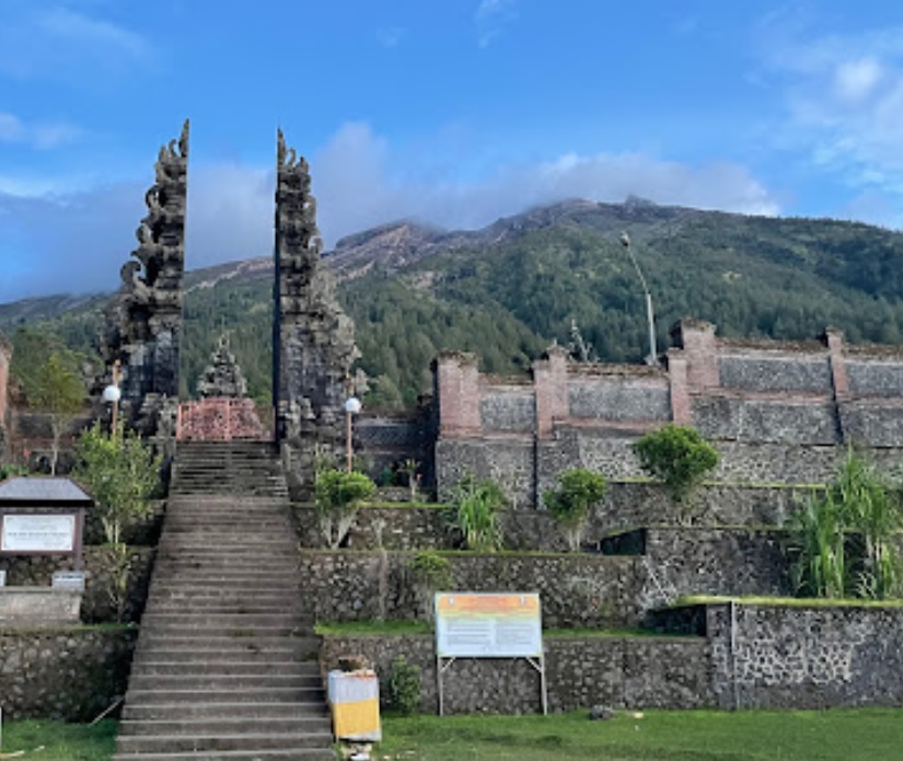
Sebudi, Karangasem, Bali
Agung via Pura Pasar Agung
- Elev
- 3,142m
- Distance
- 3.7 km
- Duration
- 6.4 hours
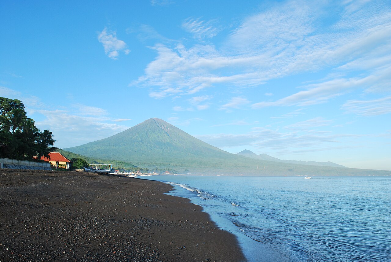
Besakih, Karangasem, Bali
Agung via The Great Temple of Besakih
- Elev
- 3,142m
- Distance
- 5.6 km
- Duration
- 7.7 hours
Overall, Agung via The Great Temple of Besakih is the more challenging climb.
Compare in full
Tamiajeng, Mojokerto, Jatim
Penanggungan via Tamiajeng
- Elev
- 1,653m
- Distance
- 4.5 km
- Duration
- 4.3 hours
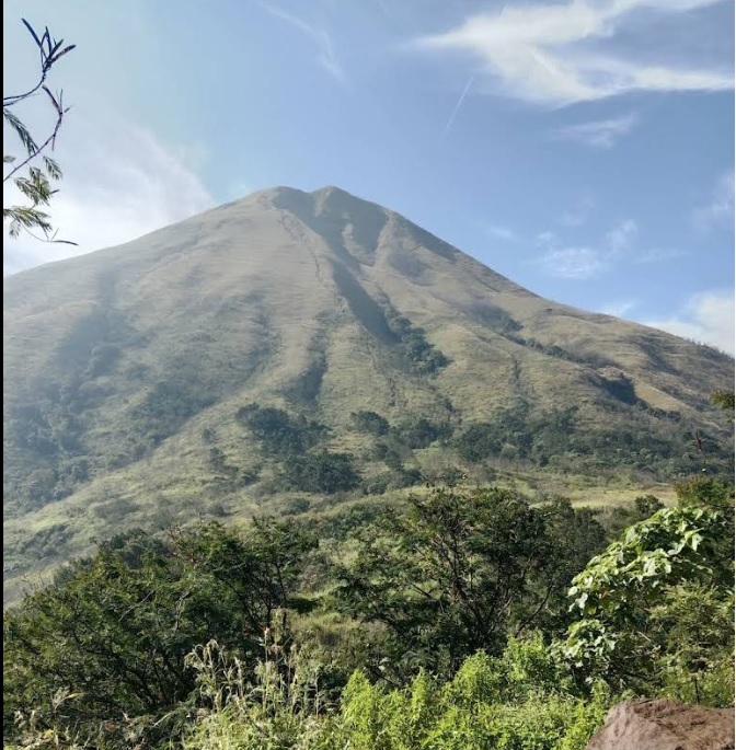
Seloliman, Mojokerto, Jatim
Penanggungan via Jolotundo
- Elev
- 1,653m
- Distance
- 5.4 km
- Duration
- 4.7 hours
Bajulan, Nganjuk, Jatim
Wilis via Bajulan (Jolotundo)
- Elev
- 2,563m
- Distance
- 9.0 km
- Duration
- 5.8 hours
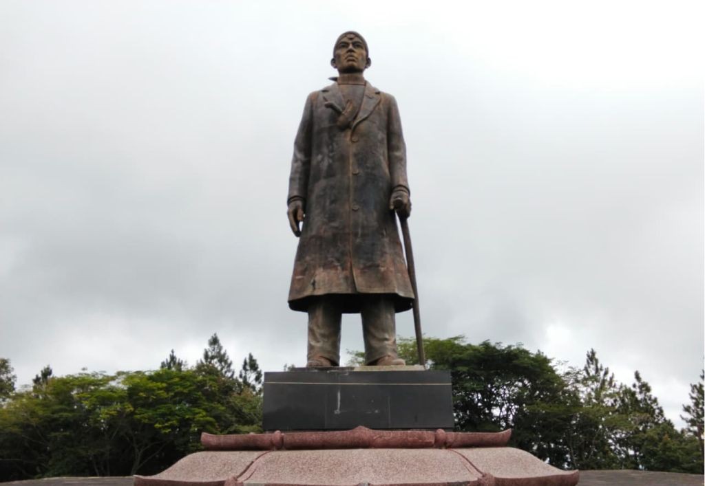 Featured
Yogyakarta - Central Java - East Java, Indonesia
Wilis via General Soedirman Guerrilla Trail
- Elev
- 2,563m
- Distance
- 606.3 km
- Duration
- 120.3 hours
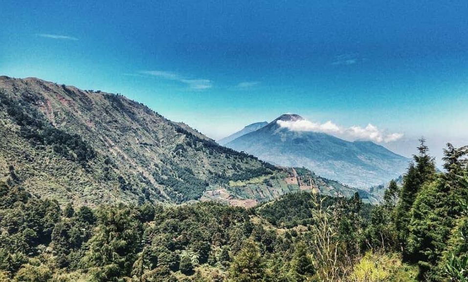
Dieng Kulon, Banjarnegara, Jateng
Prau (Parahu) via Candi Dwarawati
- Elev
- 2,590m
- Distance
- 4.0 km
- Duration
- 1.5 hours
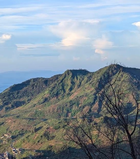
Patakbanteng, Wonosobo, Jateng
Prau (Parahu) via Patak Banteng (Jalur Lama)
- Elev
- 2,590m
- Distance
- 3.7 km
- Duration
- 3.2 hours
Overall, Prau (Parahu) via Patak Banteng (Jalur Lama) is the more challenging climb.
Compare in full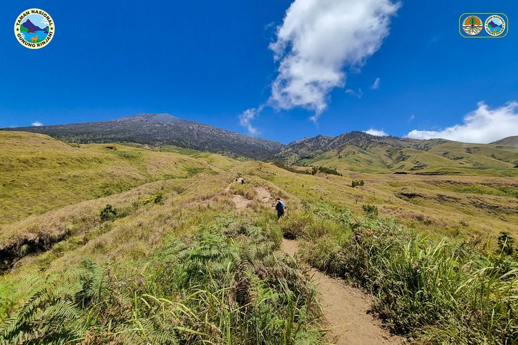 Featured
Sembalun, Lombok Timur, NTB
Rinjani via Sembalun
- Elev
- 3,726m
- Distance
- 16.0 km
- Duration
- 9.4 hours
Loloan, Lombok Utara, NTB
Rinjani via Torean
- Elev
- 3,726m
- Distance
- 18.4 km
- Duration
- 13.0 hours
Overall, Rinjani via Torean is the more challenging climb.
Compare in full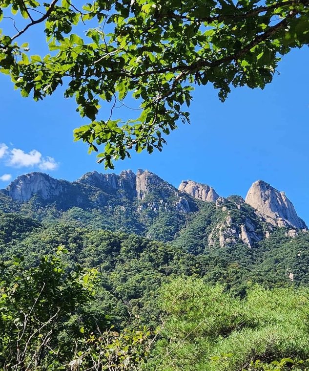
Bukhansan National Park, South Korea
Bukhansan via Bulgwang-ro
- Elev
- 884m
- Distance
- 11.2 km
- Duration
- 7.5 hours
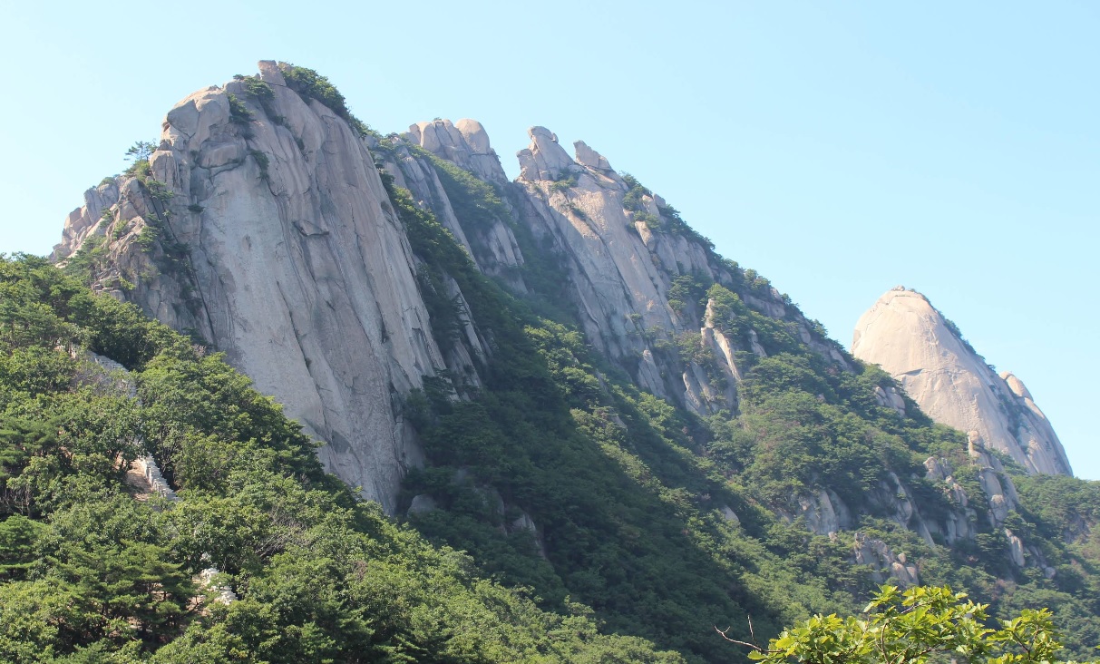
Bukhansan National Park, South Korea
Bukhansan via Samyang-ro
- Elev
- 884m
- Distance
- 3.9 km
- Duration
- 2.5 hours

Kutabawa, Purbalingga, Jateng
Slamet via Bambangan
- Elev
- 3,432m
- Distance
- 6.1 km
- Duration
- 6.9 hours

Ketenger, Banyumas, Jateng
Slamet via Baturraden
- Elev
- 3,432m
- Distance
- 7.5 km
- Duration
- 9.5 hours
Cibodas, Cianjur, Jabar
Gede via Mount Putri
- Elev
- 2,961m
- Distance
- 7.4 km
- Duration
- 5.0 hours
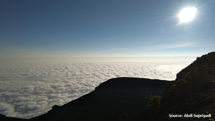
Perbawati, Sukabumi, Jabar
Gede via Selabintana
- Elev
- 2,961m
- Distance
- 8.6 km
- Duration
- 6.5 hours
Overall, Gede via Selabintana is the more challenging climb.
Compare in full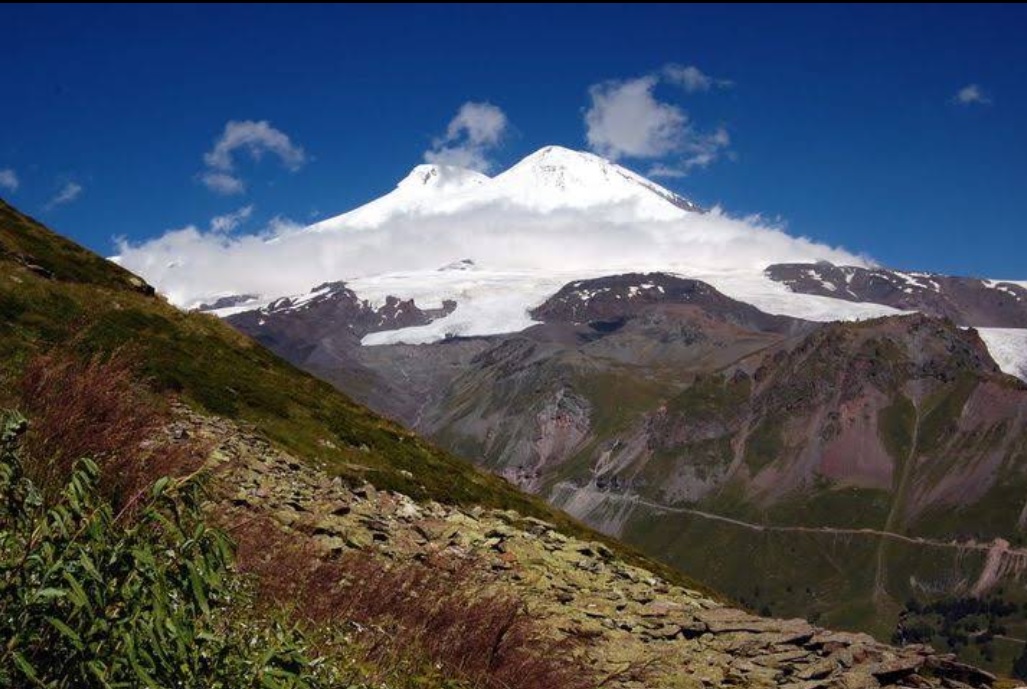
The Caucasus Mountains, Russia
Mount Elbrus via Lesnaya Ulitsa
- Elev
- 5,642m
- Distance
- 25.3 km
- Duration
- 16.0 hours
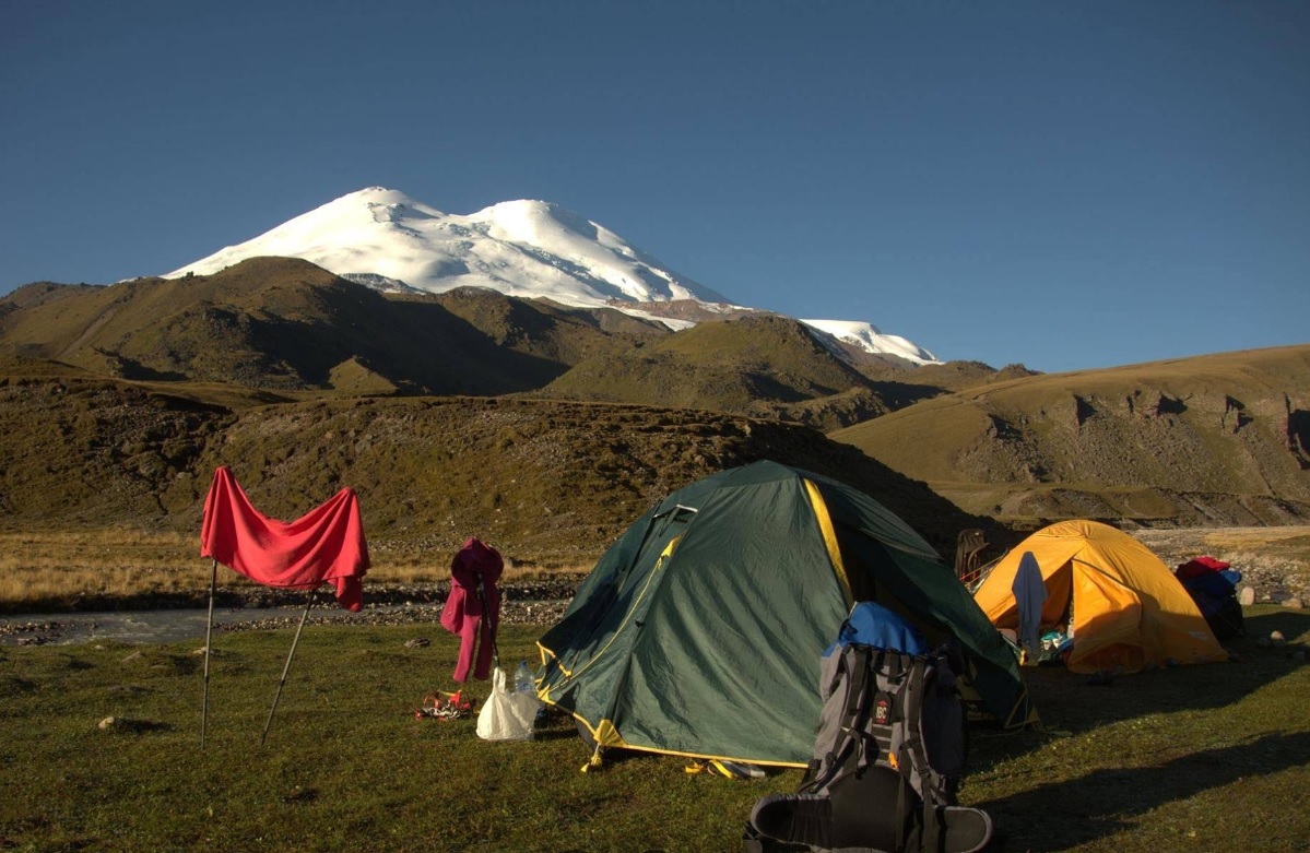
The Caucasus Mountains, Russia
Mount Elbrus via Terskol
- Elev
- 5,642m
- Distance
- 25.2 km
- Duration
- 15.3 hours
 Featured
Fuji-Hakone-Izu National Park, Japan
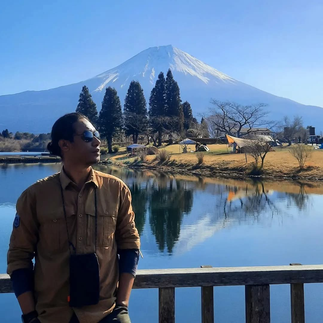
Fuji via Yoshida (5th Station Lounge)
- Elev
- 3,776m
- Distance
- 6.9 km
- Duration
- 4.7 hours
Fuji-Hakone-Izu National Park, Japan
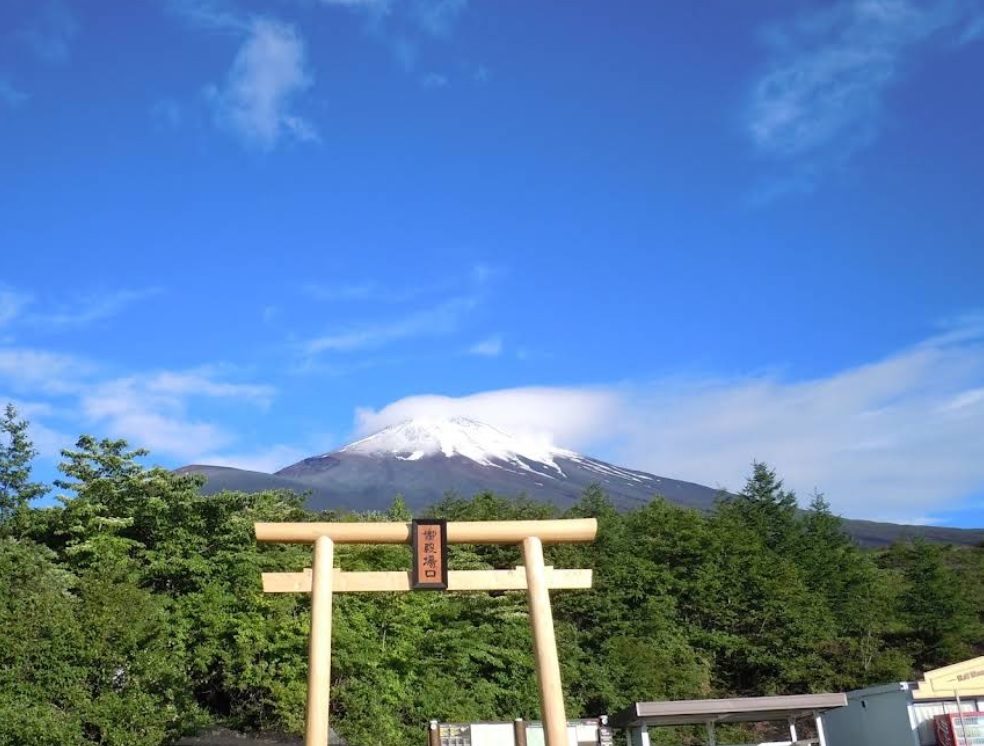
Fuji via Gotemba
- Elev
- 3,776m
- Distance
- 10.8 km
- Duration
- 7.0 hours
Overall, Fuji via Gotemba is the more challenging climb.
Compare in fullmuncak.id Ecosystem
Three tools. One journey.
Pick a trail, plan your provisions, then match your profile in Rekomendasi — all in one ecosystem.
 muncak.id
Explore trails, read reviews, check weather forecasts, and watch peak live cams.
Work out calories, water, weight, and pack fit for the trail you picked — against a real product catalog.
Trail recommendation system based on experience, fitness, and scenery preferences.


About muncak.id
Public research, for public hikers.
muncak.id is an application designed to help hikers by providing comprehensive and structured mountain hiking guides, so that every step of the journey can be carefully planned.
In addition, this application provides integrated information for hikers who want ease in planning mountain climbing and mountain exploration in Indonesia and abroad. With access to various important information, users can be better prepared and confident in facing the challenges of nature.
Developer
Tropical Adventure Technology Development Center. Industrial Engineering, Geological Engineering and Informatics Laboratory, Universitas Jenderal Soedirman.
Key features
What sets muncak.id apart.
Complete Information
Providing detailed, complete, and reliable information for every hiking trail
Hiker Reviews
Check info accuracy and current trail conditions from other hikers
Weather & Calorie Forecast
View weather forecasts and estimated calories burned during your hike
Maps & Waypoints
Explore maps and key points for easier navigation
Feedback
Help us improve accuracy and reliability
Wrong trail data, a forecast that missed, or something broken? Tell us on Instagram — that's where we read and reply.