

Temanggung, Jateng
Sumbing via Banaran
18 hikers viewed this trail in the last 7 days
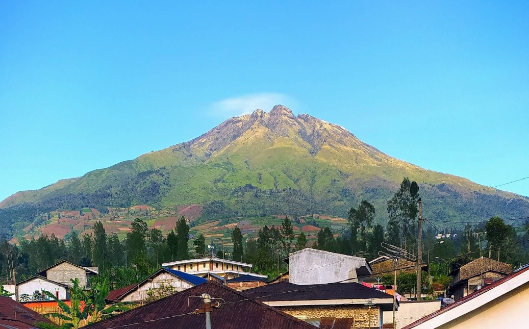
Jalr pendakian timur Foto: Muhammad Arifin (googlemap - Oktober 2023)
Hiking Trail Suitable For Experienced
High altitude (3,500–4,000 masl) with high elevation gain (1,500–2,000 m), long trails (10–15 km; 10–20 hours), moderate to steep slopes (25–40°).
Derived from
7.98 km · 2218 m · 3,371 masl · 29.6° · 16.7 hours round trip
Statistics
- Elevation Gain
- 2218m
-
Total Distance
The value shown is the total ASCENDING distance
- 7.98km
-
Travel Time
This travel time is the time taken for the ASCENDING journey only and does not account for rest stops along the way or overnight stays. The difficulty level is derived from the round-trip time, which is twice this value
- 8.3hours
-
Calories
The value shown is the calories used for ASCENDING and DESCENDING journeys, excluding calories needed during rest stops along the hike or for overnight stays
- 5,467kcal
- Default hiker 75 + 15 kg, no weather
- Altitude
- 3,371masl
-
Steepness
Trail steepness is taken at the 95th percentile across all segments, with very short segments discarded so GPS noise does not overstate the value
- 29.6°C3
Map & route
View the route
Trail waypoints
Every point along the trail
-
01
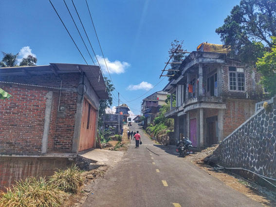
Banaran
Basacamp Desa Banaran Foto: https://garvingoei.com
Elev 1128 m -
02
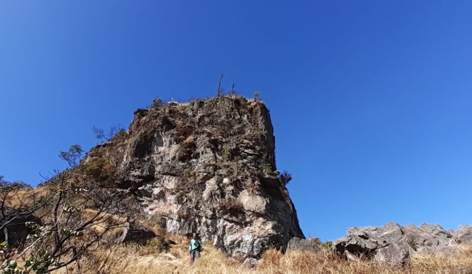
Puncak
Elev 3346 m Duration 8.3 hours Calories 5,467 kcal -
See full segmentation
Elevation profile, distance & time for each segment
Weather Conditions
Forecast at official points
Banaran
1,128 m
Wednesday
4 November · 13:00

Light Drizzle
28 °C
6.5 km/h
Thursday
5 November · 13:00

Partly Cloudy
28 °C
9.8 km/h
Friday
6 November · 13:00
Drizzle
26 °C
8 km/h
ⓘ The weather conditions above are data from Open Meteo
See 7-day forecastInformation
Details you need to know
- Sumber air di jalur pendakian Gunung Sumbing via Banaran terletak sekitar 75 meter setelah Pos 4 (Watu Ondo) (18-04-2025)
ⓘ Last updated on Friday, 3 July 2026
Hiker Reviews
Stories from other hikers
100%
recommend · 1 hikers
Weather forecast
—
No data yet
Trail info
—
No data yet
Water source
—
No data yet
No Reviews Yet
Be the first to share your experience and review this hiking trail!
Error!
An error occurred while fetching reviews for this hiking trail.
Other routes
Other routes on Sumbing
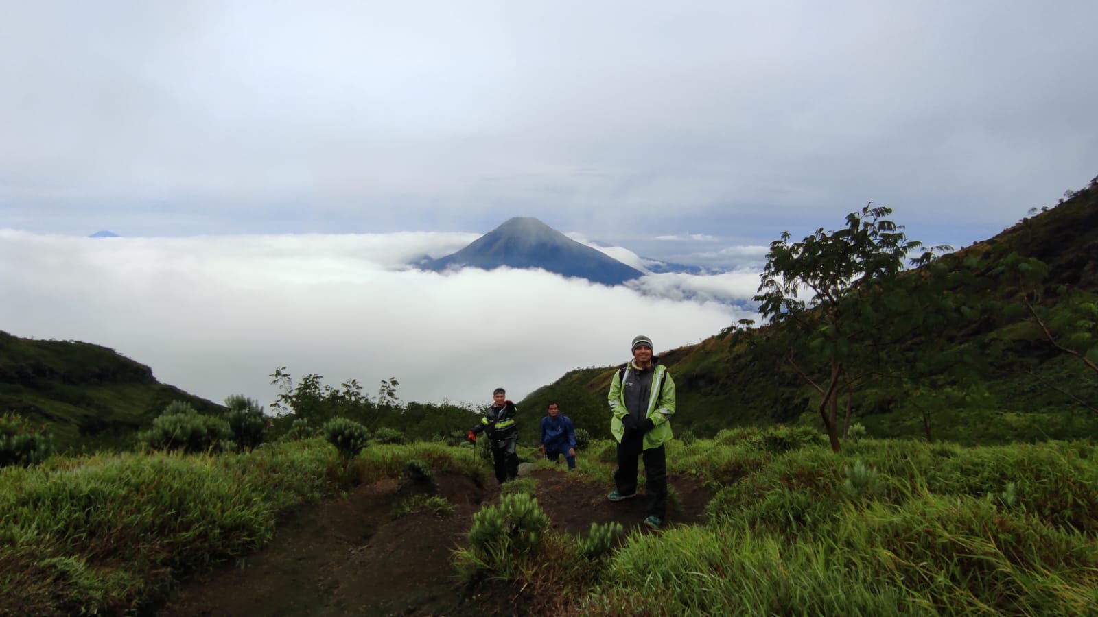
47
100%
(4)
Fairly busy
Garung, Wonosobo, Jateng
Sumbing via Garung
- Elev
- 3,371m
- Distance
- 4.2 km
- Duration
- 7.9 hours

28
100%
(1)
Trending
Butuh, Temanggung, Jateng
Sumbing via Butuh-Kaliangkrik
- Elev
- 3,371m
- Distance
- 6.5 km
- Duration
- 6.2 hours
Feedback
Help us improve accuracy and reliability
Wrong trail data, a forecast that missed, or something broken? Tell us on Instagram — that's where we read and reply.