Mojokerto, Jatim
Penanggungan via Tamiajeng
57 hikers viewed this trail in the last 7 days
Jalur favorit wisata pendakian
Hiking Trail Suitable For Beginner
Statistics
- Elevation Gain
- 981m
-
Total Distance
The value shown is the total ASCENDING distance
- 4.56km
-
Travel Time
This travel time is the time taken for the ASCENDING journey only and does not account for rest stops along the way or overnight stays
- 4.3hours
-
Calories
The value shown is the calories used for ASCENDING and DESCENDING journeys, excluding calories needed during rest stops along the hike or for overnight stays
- kcal
Map & route
View the route
Trail waypoints
Every point along the trail
-
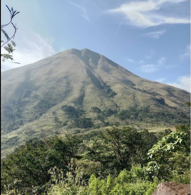
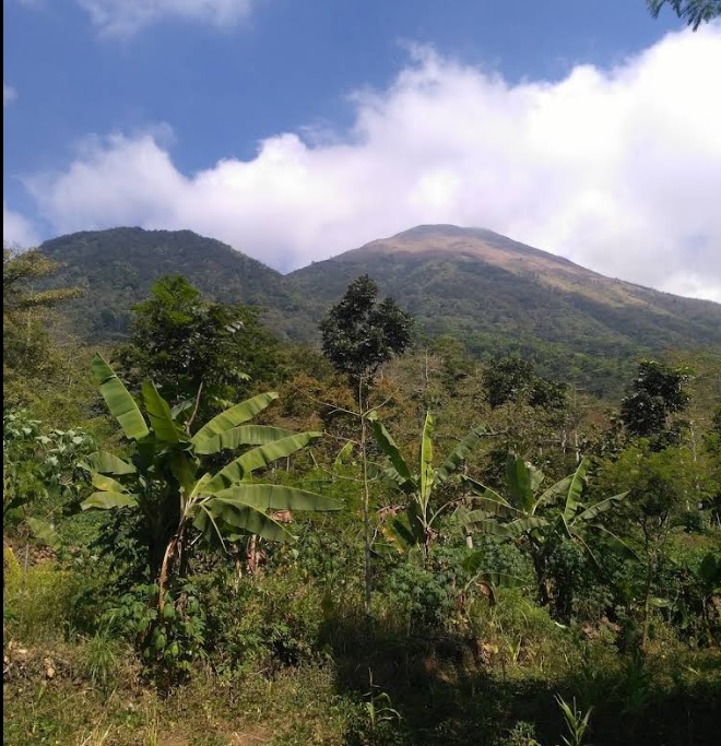
01

Tamiajeng
Foto: https://beritajatim.com/tamiajeng-jalur-paling-favorit-ke-puncak-gunung-penanggungan
Elev 663 m -
02

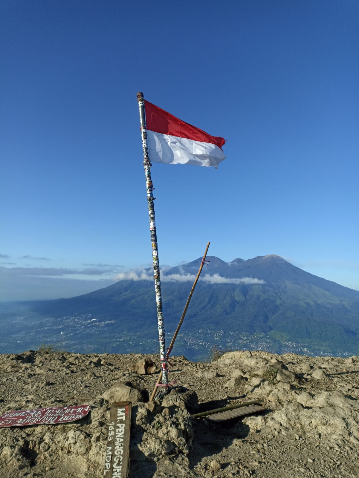
Puncak
Foto: Udik Haryanto (Smunsa Purwokerto 1997)
Elev 1644 m Duration 4.3 hours Calories 2,569 kcal -
See full segmentation
Elevation profile, distance & time for each segment
Weather Conditions
Forecast at official points
Tamiajeng
663 m
Tuesday
21 July · 13:00

Light Rain
25 °C
3.5 km/h
Wednesday
22 July · 13:00

Fog
25 °C
5.6 km/h
Thursday
23 July · 13:00
Fog
24 °C
7.7 km/h
ⓘ The weather conditions above are data from Open Meteo
See 7-day forecastInformation
Details you need to know
- Tidak ada informasi yang menyatakan adanya sumber air di jalur pendakian ini, di sarankan untuk membawa persediaan air yang cukup. (01-07-2025)
none at this time
ⓘ Last updated on Sabtu, 2 Agustus 2025
Hiker Reviews
Stories from other hikers
0%
recommend · 0 hikers
Weather forecast
—
No data yet
Trail info
—
No data yet
Water source
—
No data yet
No Reviews Yet
Be the first to share your experience and review this hiking trail!
Error!
An error occurred while fetching reviews for this hiking trail.
Other routes