Mojokerto, Jatim
Penanggungan via Jolotundo
36 hikers viewed this trail in the last 7 days
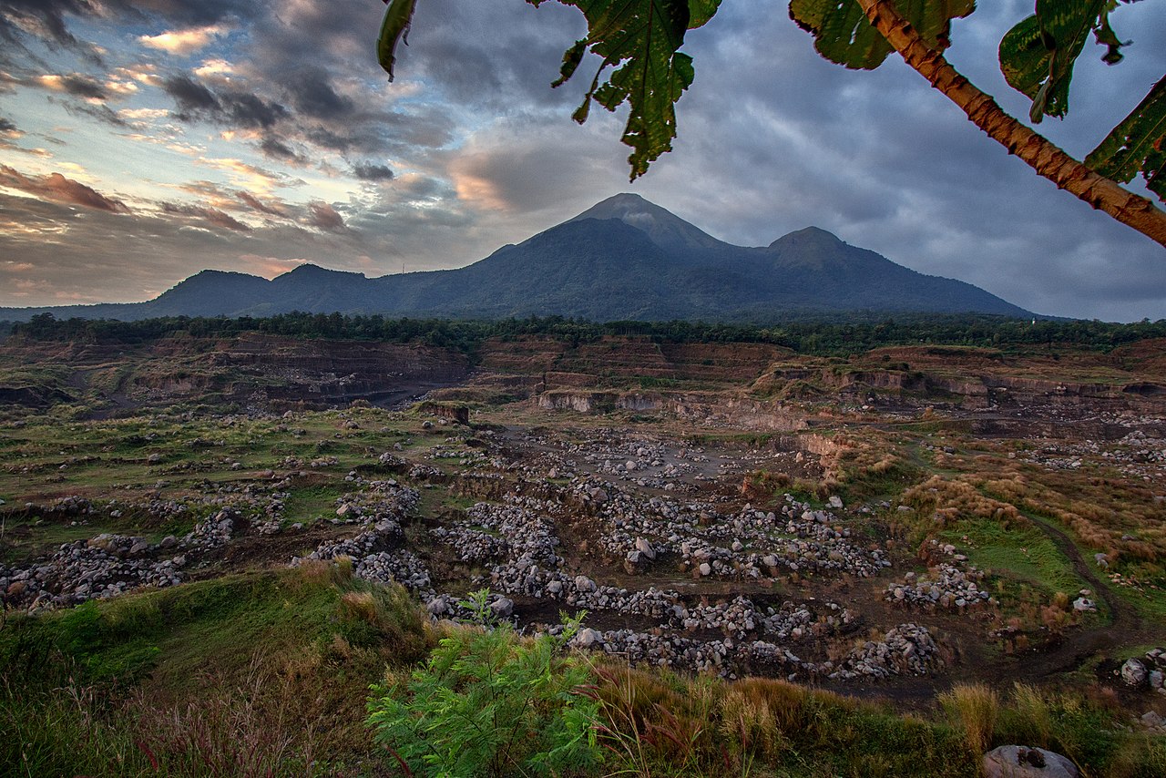
Salah satu jalur utama Foto: Faiz Izz (googlemap - Juli 2024)
Hiking Trail Suitable For Intermediate
Statistics
- Elevation Gain
- 1263m
-
Total Distance
The value shown is the total ASCENDING distance
- 5.54km
-
Travel Time
This travel time is the time taken for the ASCENDING journey only and does not account for rest stops along the way or overnight stays
- 4.6hours
-
Calories
The value shown is the calories used for ASCENDING and DESCENDING journeys, excluding calories needed during rest stops along the hike or for overnight stays
- kcal
Map & route
View the route
Trail waypoints
Every point along the trail
-
01
Pintu masuk Jolotundo
Elev 391 m -
02
Puncak
Elev 1654 m Duration 4.6 hours Calories 2,893 kcal -
See full segmentation
Elevation profile, distance & time for each segment
Weather Conditions
Forecast at official points
Pintu masuk Jolotundo
391 m
Tuesday
21 July · 13:00

Partly Cloudy
29 °C
5.8 km/h
Wednesday
22 July · 13:00
Clear
28 °C
11.3 km/h
Thursday
23 July · 13:00
Partly Cloudy
28 °C
9.8 km/h
ⓘ The weather conditions above are data from Open Meteo
See 7-day forecastInformation
Details you need to know
- jalur pendakian Gunung Penanggungan via Jolotundo tidak memiliki sumber air di sepanjang jalur, jadi pendaki perlu membawa persediaan air yang cukup. (22-06-2025)
none at this time
ⓘ Last updated on Selasa, 7 Oktober 2025
Hiker Reviews
Stories from other hikers
0%
recommend · 0 hikers
Weather forecast
—
No data yet
Trail info
—
No data yet
Water source
—
No data yet
No Reviews Yet
Be the first to share your experience and review this hiking trail!
Error!
An error occurred while fetching reviews for this hiking trail.
Other routes