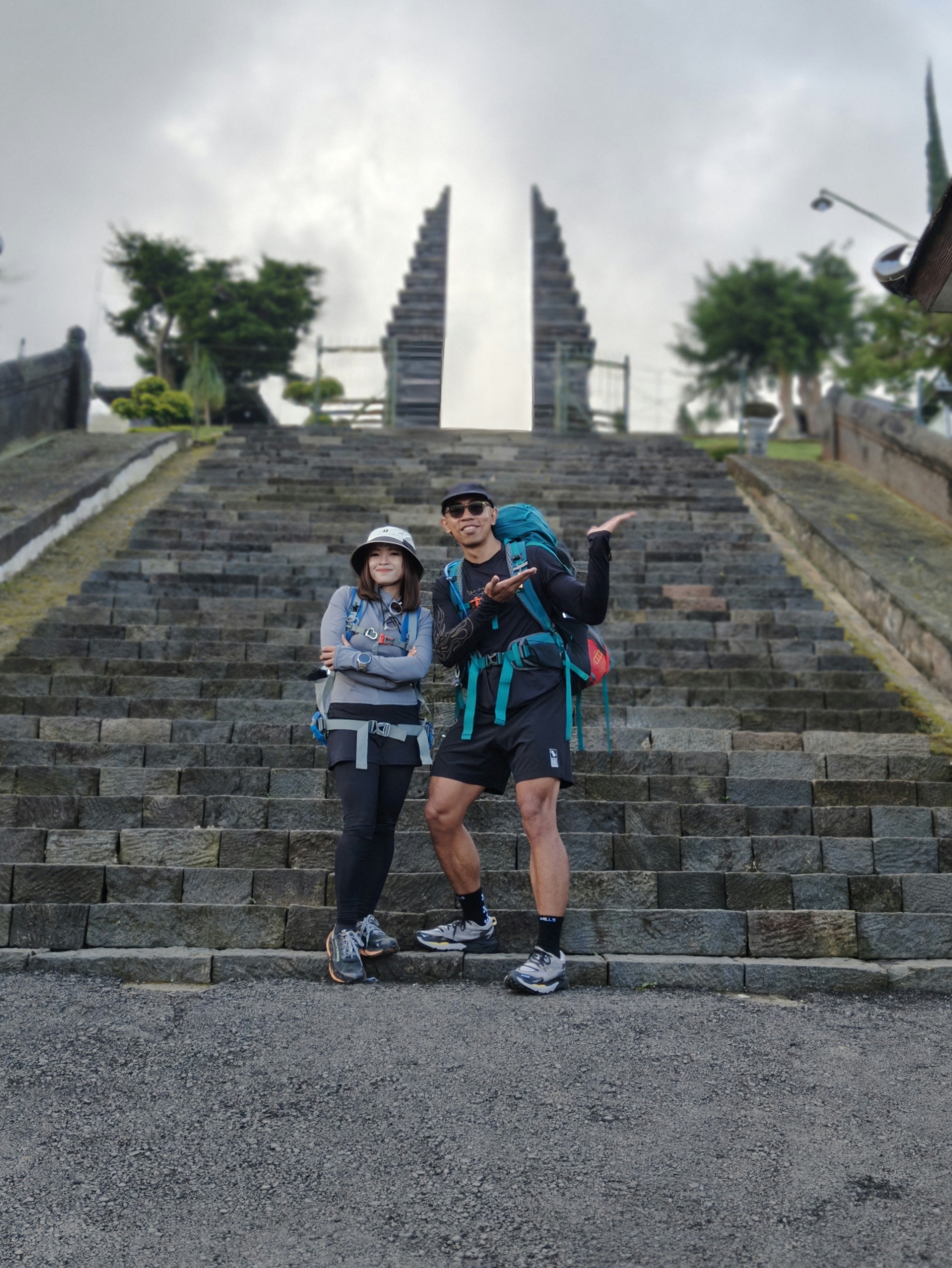
Karanganyar, Jateng
Lawu via Cetho Temple
Fairly busy
165 hikers viewed this trail in the last 7 days
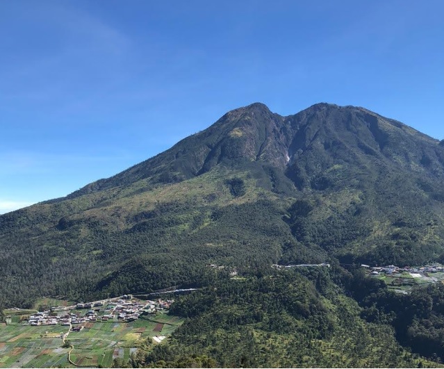
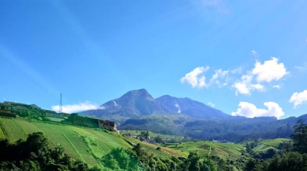
Alternative route Photo: Leor Koclok (googlemap - August 2019)
Hiking Trail Suitable For Expert
Statistics
- Elevation Gain
- 1774m
-
Total Distance
The value shown is the total ASCENDING distance
- 8.52km
-
Travel Time
This travel time is the time taken for the ASCENDING journey only and does not account for rest stops along the way or overnight stays
- 6.3hours
-
Calories
The value shown is the calories used for ASCENDING and DESCENDING journeys, excluding calories needed during rest stops along the hike or for overnight stays
- kcal
Map & route
View the route
Trail waypoints
Every point along the trail
-
01
Basecamp Cetho
Elev 1435 m -
02
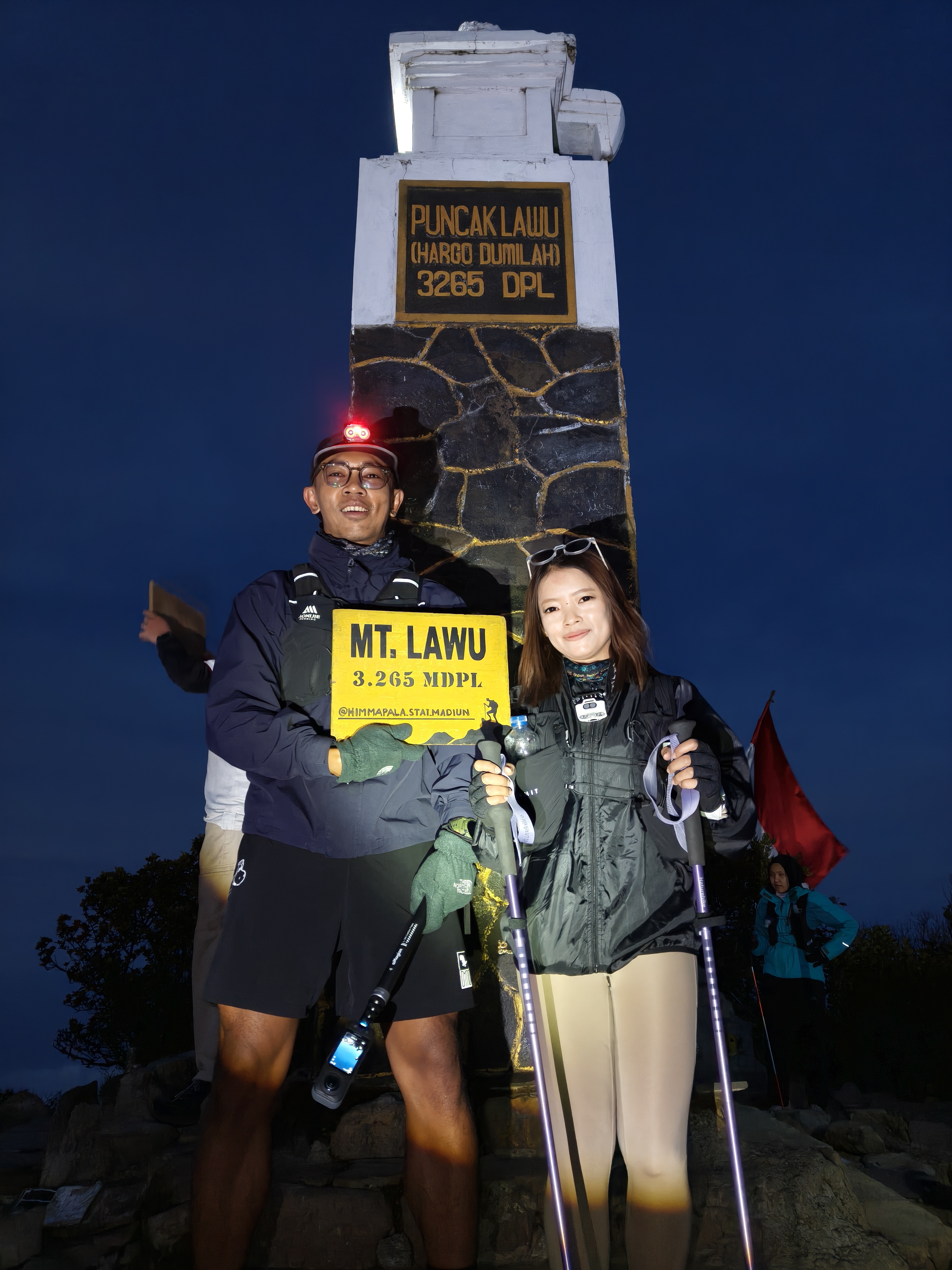
Puncak
Elev 3209 m Duration 6.3 hours Calories 4,096 kcal -
See full segmentation
Elevation profile, distance & time for each segment
Weather Conditions
Forecast at official points
Basecamp Cetho
1,435 m
Tuesday
21 July · 13:00

Fog
21 °C
2.3 km/h
Wednesday
22 July · 13:00

Light Rain
22 °C
3.2 km/h
Thursday
23 July · 13:00
Fog
18 °C
6.5 km/h
ⓘ The weather conditions above are data from Open Meteo
See 7-day forecastInformation
Details you need to know
- Because there are enough water sources along the hiking trail. Around the base camp to post 1 and post 3, it is expected to bring enough water from post 3.
- The Lawu Mountain hiking trail in Karanganyar Regency will be closed for one month in February 2026 (27-01-2026)
- Open trip with more than seven people must be accompanied by a local guide.
- Hikers are required to register one day before hiking.
- Trekking must be done by at least two people
- Hikers are required to start descending no later than 13.00 WIB from any position on the hiking trail.
- To improve supervision, he added that the manager requires hikers to install the Strava application so that the hiker's position can be monitored during the trip.
ⓘ Last updated on Selasa, 7 Juli 2026
Hiker Reviews
Stories from other hikers
100%
recommend · 1 hikers
Weather forecast
100%
accurate
Trail info
0%
matched
Water source
100%
plenty · last 30 days
Highlights · last 30 days
🏔️ Great views (1)
No Reviews Yet
Be the first to share your experience and review this hiking trail!
Error!
An error occurred while fetching reviews for this hiking trail.
Other routes