Plan your hike, before you go.
Providing integrated information for hikers who want ease in planning mountain climbing and mountain exploration in Indonesia and abroad
Hiking Trails
Showing 12 of 170 trails
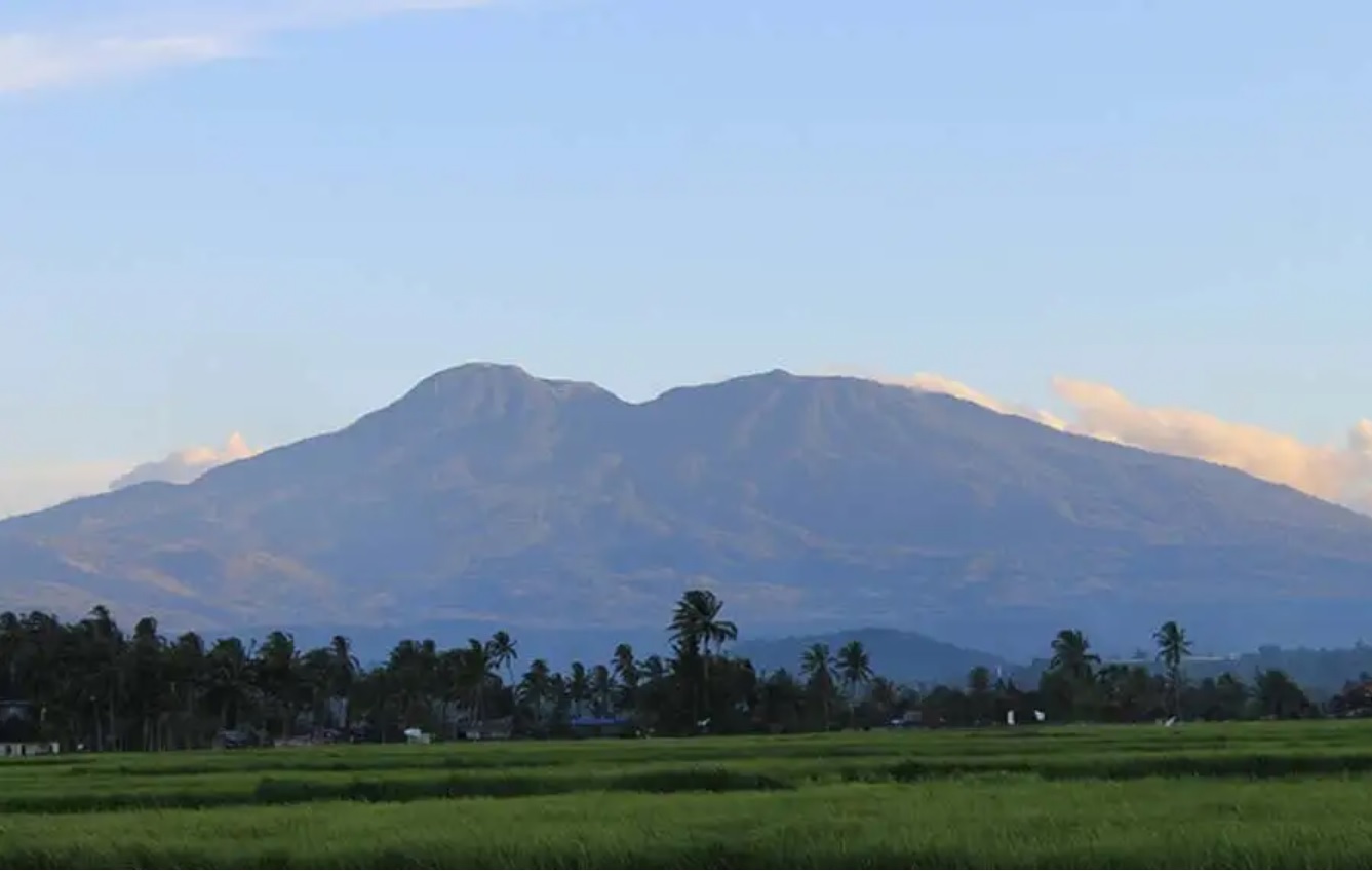
Aie Batumbuak, Solok, Sumatera Barat
Talang via Air Batumbuk
- Elev
- 2,597m
- Distance
- 5.8 km
- Duration
- 6.5 hours
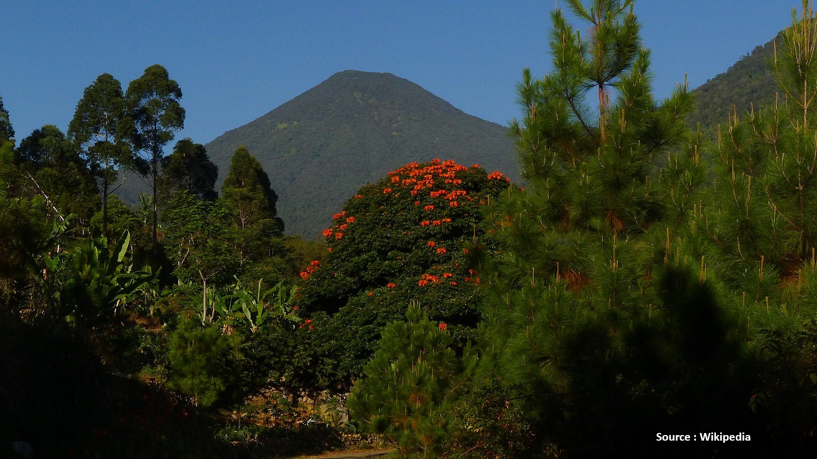
Cibodas, Cianjur, Jabar
Pangrango via Cibodas
- Elev
- 3,023m
- Distance
- 10.0 km
- Duration
- 6.1 hours
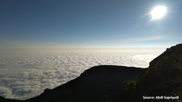
Perbawati, Sukabumi, Jabar
Gede via Selabintana
- Elev
- 2,961m
- Distance
- 8.8 km
- Duration
- 6.5 hours
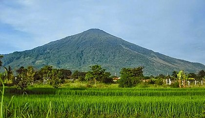
Argamukti, Majalengka, Jabar
Ciremai via Apuy
- Elev
- 3,078m
- Distance
- 9.0 km
- Duration
- 5.6 hours

Haratai, Hulu Sungai Selatan, Kalimantan Selatan
Halau-Halau (Meratus) via Kadayang
- Elev
- 1,901m
- Distance
- 13.3 km
- Duration
- 8.0 hours

Latimojong, Enrekang, Sulawesi Selatan
Latimojong via Karangan
- Elev
- 3,478m
- Distance
- 8.8 km
- Duration
- 8.3 hours
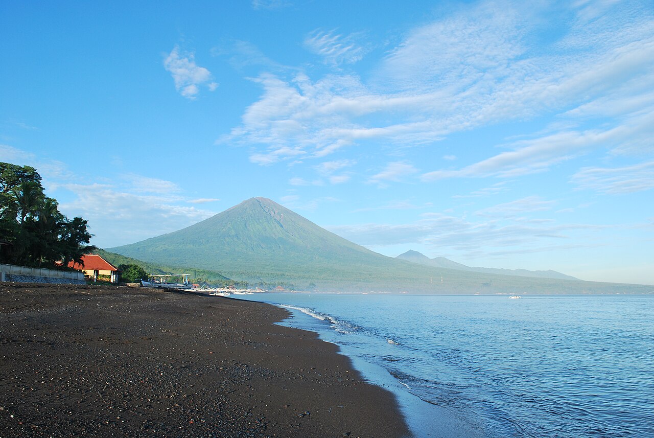
Besakih, Karangasem, Bali
Agung via The Great Temple of Besakih
- Elev
- 3,142m
- Distance
- 5.7 km
- Duration
- 7.5 hours

Jongkogama, Mimika, Papua
Jayawijaya via Tembagapura
- Elev
- 4,721m
- Distance
- 10.4 km
- Duration
- 8.8 hours

Moya, Ternate, Maluku Utara
Gamalama via Moya (Makassar Barat)
- Elev
- 1,715m
- Distance
- 6.2 km
- Duration
- 4.9 hours

Nangatobong, Sikka, NTT
Egon via Nangatobong
- Elev
- 1,703m
- Distance
- 2.9 km
- Duration
- 2.8 hours

Jaranguda, Karo, Sumatera Utara
Sibayak via Jaranguda
- Elev
- 2,212m
- Distance
- 9.3 km
- Duration
- 2.7 hours

Merpak, Sintang, Kalimantan Barat
Kelam via Ferrata
- Elev
- 1,002m
- Distance
- 3.8 km
- Duration
- 4.2 hours
Aie Batumbuak, Solok, Sumatera Barat
Talang via Air Batumbuk
Popular route
Cibodas, Cianjur, Jabar
Pangrango via Cibodas
The peak of Mount Pangrango can be reached through the fastest hiking route that forms an intersection at Kandang Badak from the Cibodas route. The distance to the peak of Mount Pangrango is approximately 4 hours of hiking from the Kandang Badak intersection. Another route that can be used to reach the peak of Mount Pangrango is the Gunung Putri (Cipanas) Route or the Salabintana (Perbawati) Route, where hikers must pass through the peak of Mount Gede first before descending to Kandang Badak. The peak of Mount Pangrango is quite difficult to climb due to its steep slope, which is almost vertical.
Perbawati, Sukabumi, Jabar
Gede via Selabintana
Argamukti, Majalengka, Jabar
Ciremai via Apuy
The most popular route
Haratai, Hulu Sungai Selatan, Kalimantan Selatan
Halau-Halau (Meratus) via Kadayang
Main route
Latimojong, Enrekang, Sulawesi Selatan
Latimojong via Karangan
Favorite route
Besakih, Karangasem, Bali
Agung via The Great Temple of Besakih
The most frequently chosen route
Jongkogama, Mimika, Papua
Jayawijaya via Tembagapura
Normal route basecamp (Note: weather condition information is not accurate due to the lack of data from BMKG at the starting point)
Moya, Ternate, Maluku Utara
Gamalama via Moya (Makassar Barat)
Main hiking trail
Nangatobong, Sikka, NTT
Egon via Nangatobong
Busy route
Jaranguda, Karo, Sumatera Utara
Sibayak via Jaranguda
A favorite route
Merpak, Sintang, Kalimantan Barat
Kelam via Ferrata
Normal route
Compare Trails
Which way is tougher — this route or that one?
See two routes up the same mountain, side by side — then decide.
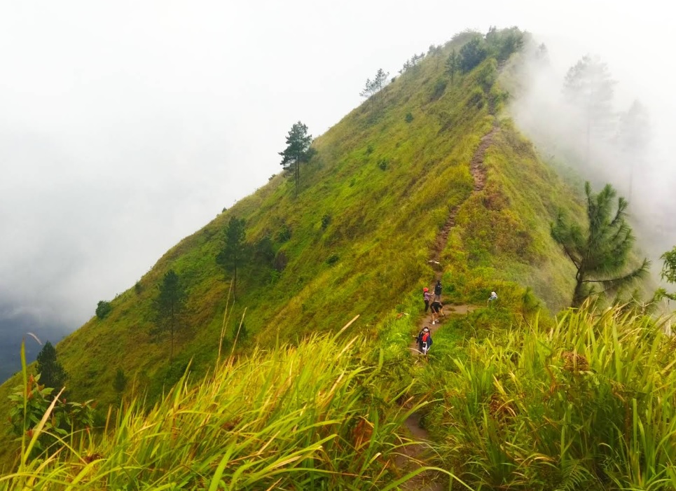
Girirejo, Magelang, Jateng
Andong via Sawit
- Elev
- 1,726m
- Distance
- 2.2 km
- Duration
- 1.6 hours
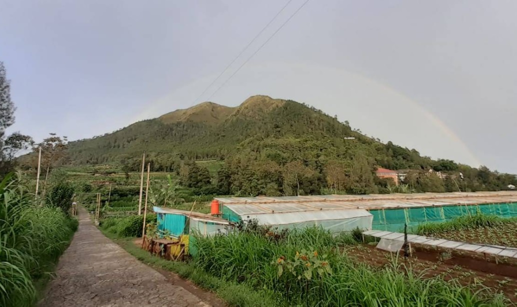
Girirejo, Magelang, Jateng
Andong via Pendem
- Elev
- 1,726m
- Distance
- 3.0 km
- Duration
- 4.4 hours
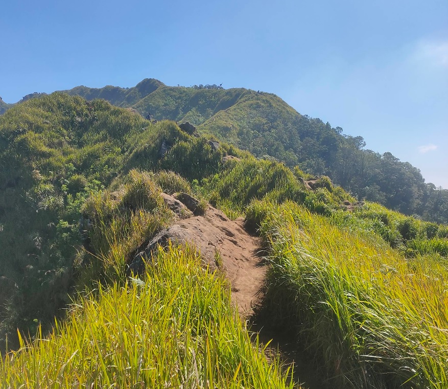
Bandungan, Semarang, Jateng
Ungaran via Perantunan
- Elev
- 2,050m
- Distance
- 3.8 km
- Duration
- 3.7 hours
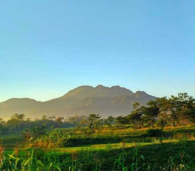
Jimbaran, Semarang, Jateng
Ungaran via Mawar
- Elev
- 2,050m
- Distance
- 4.9 km
- Duration
- 2.9 hours
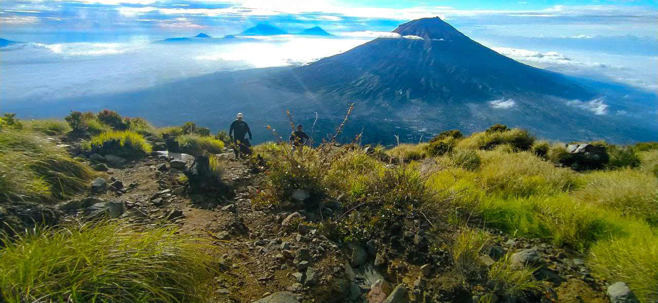
Kledung, Temanggung, Jateng
Mount Sindoro via Kledung
- Elev
- 3,146m
- Distance
- 3.5 km
- Duration
- 6.0 hours
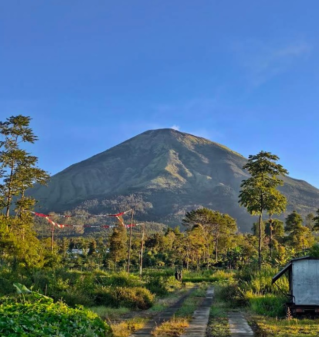
Kapencar, Wonosobo, Jateng
Mount Sindoro via Watu Lunyu
- Elev
- 3,146m
- Distance
- 8.1 km
- Duration
- 6.5 hours
Overall, Mount Sindoro via Watu Lunyu is the more challenging climb.
Compare in full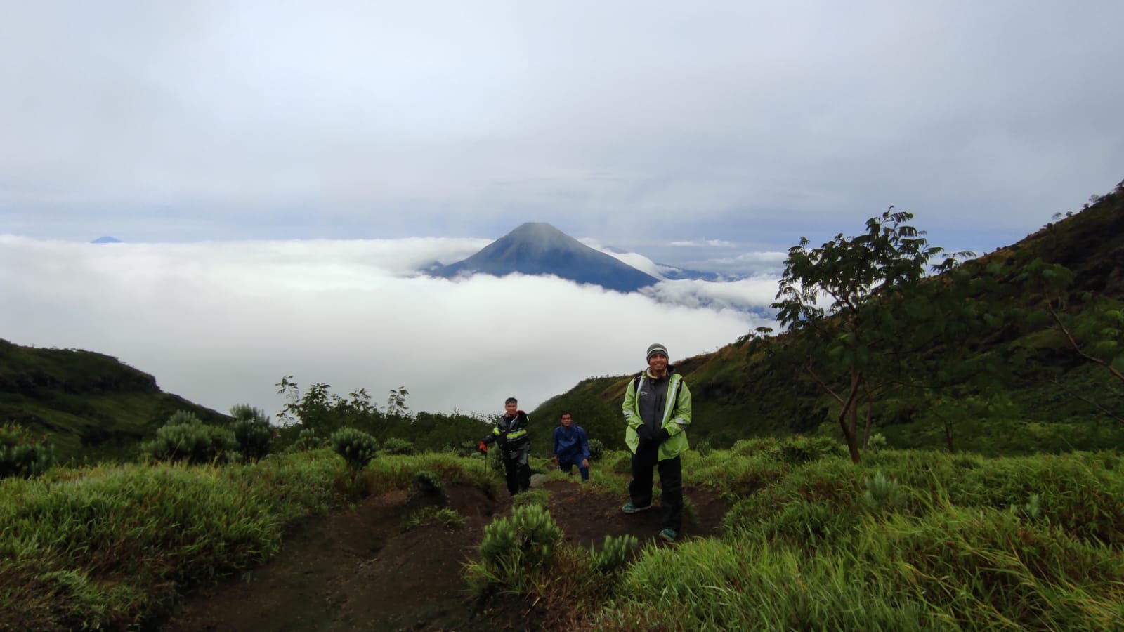
Garung, Wonosobo, Jateng
Sumbing via Garung
- Elev
- 3,371m
- Distance
- 4.2 km
- Duration
- 7.8 hours
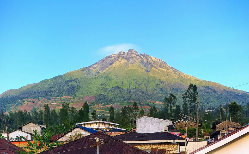
lamuk, Wonosobo, Jateng
Sumbing via Gajah Mungkur
- Elev
- 3,371m
- Distance
- 8.3 km
- Duration
- 9.1 hours
Overall, Sumbing via Gajah Mungkur is the more challenging climb.
Compare in full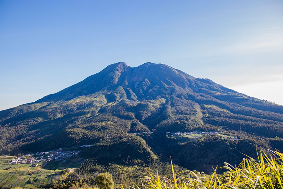
Ngancar, Magetan, Jatim
Lawu via Cemoro Sewu
- Elev
- 3,265m
- Distance
- 6.3 km
- Duration
- 4.1 hours
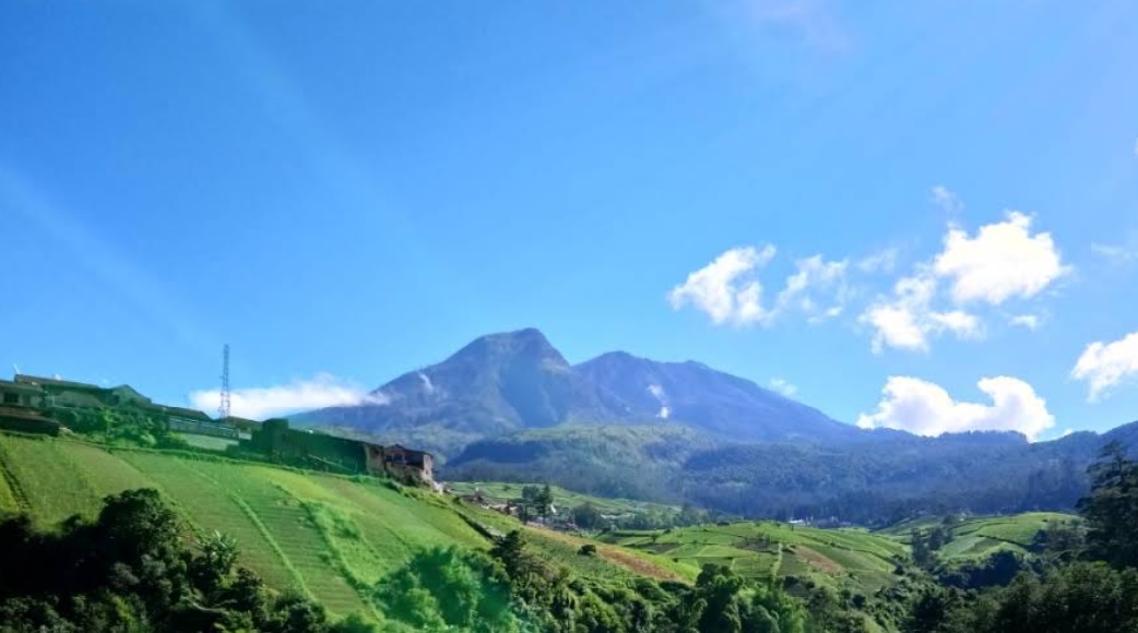
Sarangan, Magetan, Jatim
Lawu via Singolangu
- Elev
- 3,265m
- Distance
- 9.4 km
- Duration
- 6.9 hours
Overall, Lawu via Singolangu is the more challenging climb.
Compare in full
Bermi, Probolinggo, Jatim
Argopuro via Bremi (Bermi)
- Elev
- 3,088m
- Distance
- 19.2 km
- Duration
- 11.6 hours
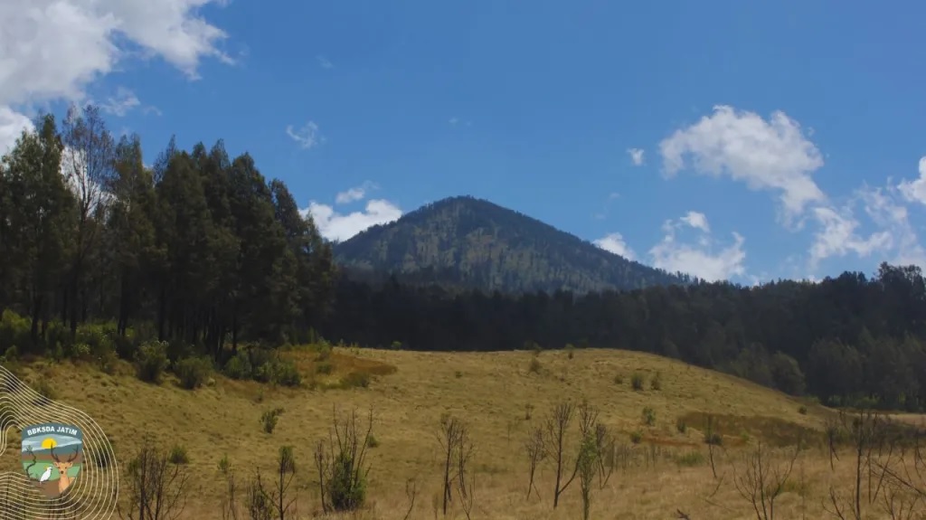
Suaka Margasatwa Dataran Tinggi Hyang, Indonesia
Argopuro via Baderan
- Elev
- 3,088m
- Distance
- 21.0 km
- Duration
- 8.7 hours
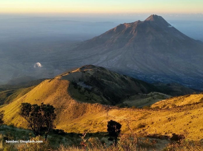
Suroteleng, Boyolali, Jateng
Merbabu via Selo
- Elev
- 3,145m
- Distance
- 5.6 km
- Duration
- 4.8 hours
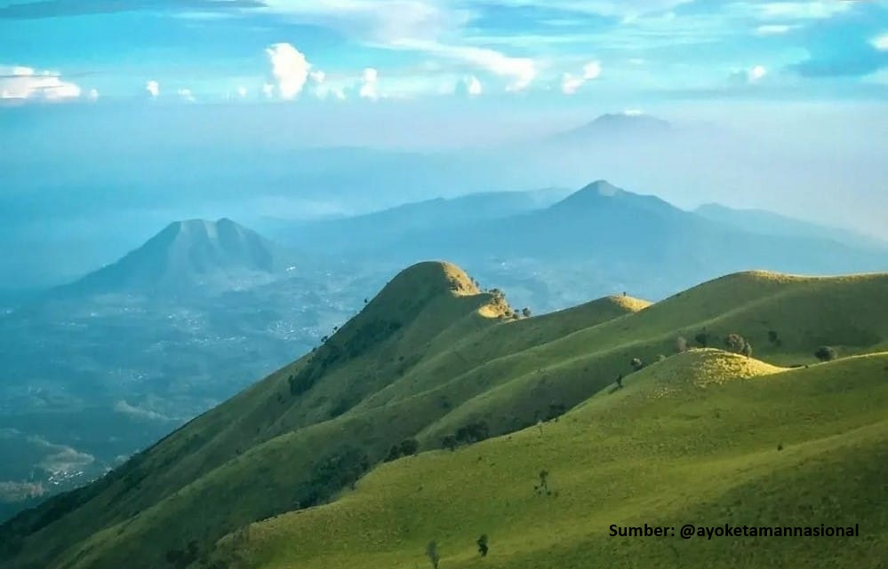
Banyuroto, Magelang, Jateng
Merbabu via Suwanting
- Elev
- 3,145m
- Distance
- 6.6 km
- Duration
- 7.2 hours
Overall, Merbabu via Suwanting is the more challenging climb.
Compare in full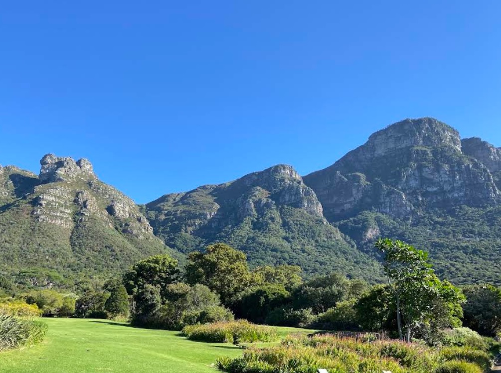
Table Mountain National Park, South Africa
Maclear's Beacon via Botanical Gardens
- Elev
- 1,085m
- Distance
- 5.4 km
- Duration
- 3.8 hours

Table Mountain National Park, South Africa
Maclear's Beacon via Aerial Cableway Trail
- Elev
- 1,085m
- Distance
- 8.0 km
- Duration
- 9.4 hours
Overall, Maclear's Beacon via Aerial Cableway Trail is the more challenging climb.
Compare in full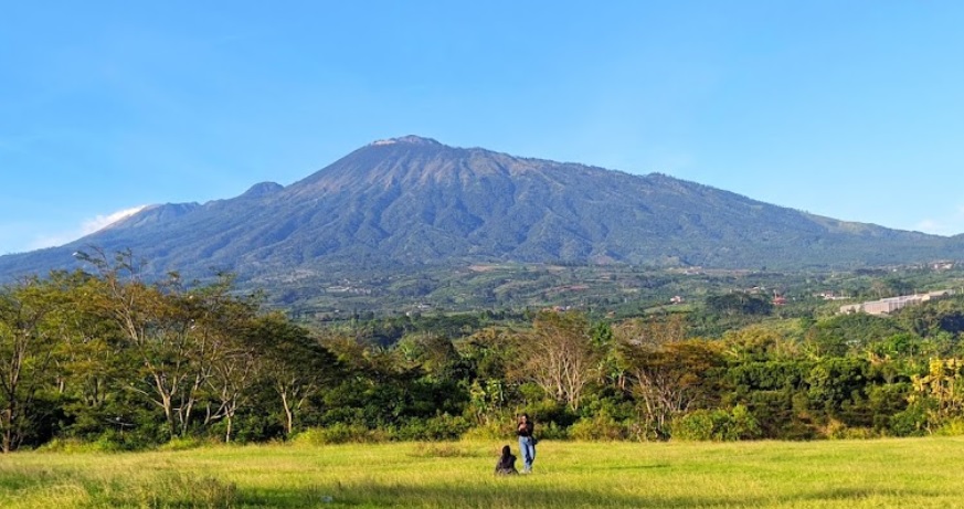
Pecalukan, Pasuruan, Jatim
Arjuno (Arjuna) via Tretes
- Elev
- 3,339m
- Distance
- 12.4 km
- Duration
- 7.3 hours
Toyomarto, Malang, Jatim
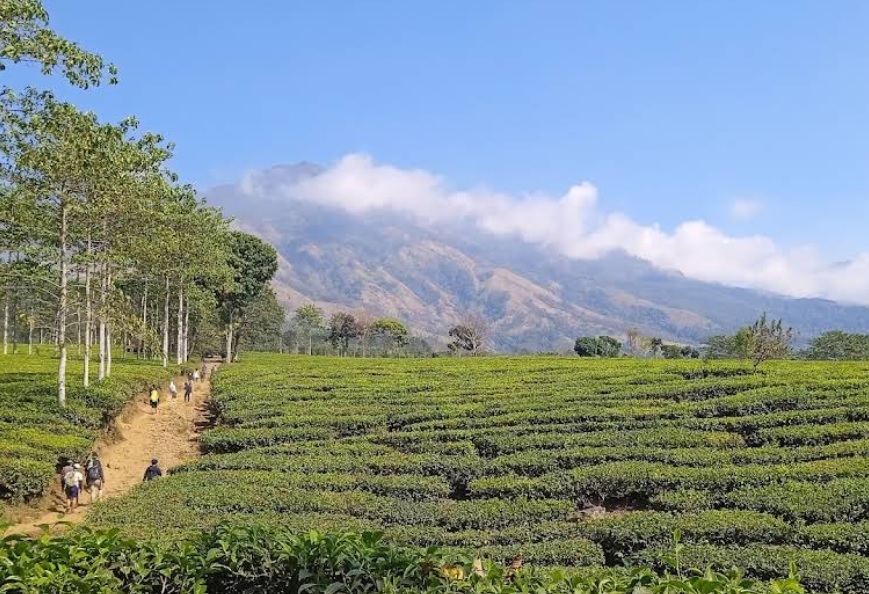
Arjuno (Arjuna) via Wonosari Agro Tourism
- Elev
- 3,339m
- Distance
- 10.2 km
- Duration
- 9.3 hours
Cidahu, Sukabumi, Jabar
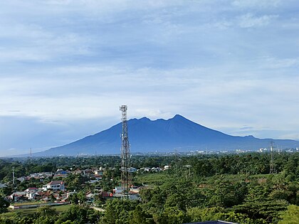
Salak via Javana Spa Cidahu
- Elev
- 2,215m
- Distance
- 6.6 km
- Duration
- 3.1 hours
Ciapus, Bogor, Jabar
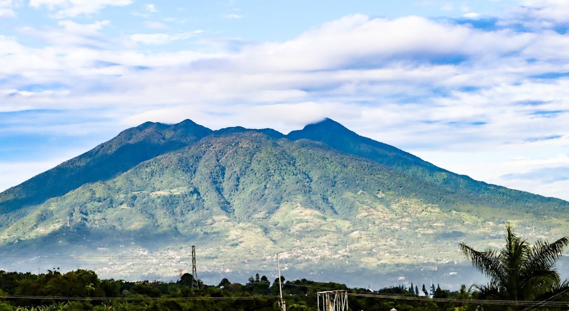
Salak via Ajisaka
- Elev
- 2,215m
- Distance
- 9.2 km
- Duration
- 6.1 hours
muncak.id Ecosystem
Three tools. One journey.
Pick a trail, plan your provisions, then match your profile in Rekomendasi — all in one ecosystem.
 muncak.id
Explore trails, read reviews, check weather forecasts, and watch peak live cams.
Work out calories, water, weight, and pack fit for the trail you picked — against a real product catalog.
Trail recommendation system based on experience, fitness, and scenery preferences.


About muncak.id
Public research, for public hikers.
muncak.id is an application designed to help hikers by providing comprehensive and structured mountain hiking guides, so that every step of the journey can be carefully planned.
In addition, this application provides integrated information for hikers who want ease in planning mountain climbing and mountain exploration in Indonesia and abroad. With access to various important information, users can be better prepared and confident in facing the challenges of nature.
Developer
Tropical Adventure Technology Development Center. Industrial Engineering, Geological Engineering and Informatics Laboratory, Universitas Jenderal Soedirman.
Key features
What sets muncak.id apart.
Complete Information
Providing detailed, complete, and reliable information for every hiking trail
Hiker Reviews
Check info accuracy and current trail conditions from other hikers
Weather & Calorie Forecast
View weather forecasts and estimated calories burned during your hike
Maps & Waypoints
Explore maps and key points for easier navigation
Feedback
Help us improve accuracy and reliability
Wrong trail data, a forecast that missed, or something broken? Tell us on Instagram — that's where we read and reply.