Sintang, Kalimantan Barat
Kelam via Ferrata
2 hikers viewed this trail in the last 7 days
Normal route
Hiking Trail Suitable For Intermediate
Statistics
- Elevation Gain
- 850m
-
Total Distance
The value shown is the total ASCENDING distance
- 3.79km
-
Travel Time
This travel time is the time taken for the ASCENDING journey only and does not account for rest stops along the way or overnight stays
- 4.2hours
-
Calories
The value shown is the calories used for ASCENDING and DESCENDING journeys, excluding calories needed during rest stops along the hike or for overnight stays
- kcal
Map & route
View the route
Trail waypoints
Every point along the trail
-
01
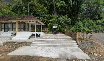
Titik Awal Pendakian
Titik keberangkatan jalur normal
Elev 84 m -
02
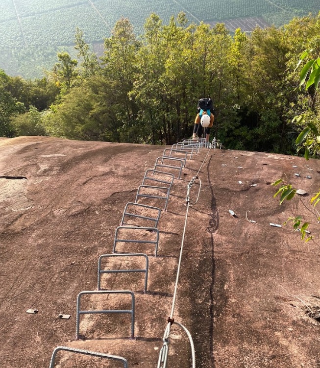
Jalur
Jalur menanjak
Elev 577 m Duration 2.6 hours Calories 1,412 kcal -
03
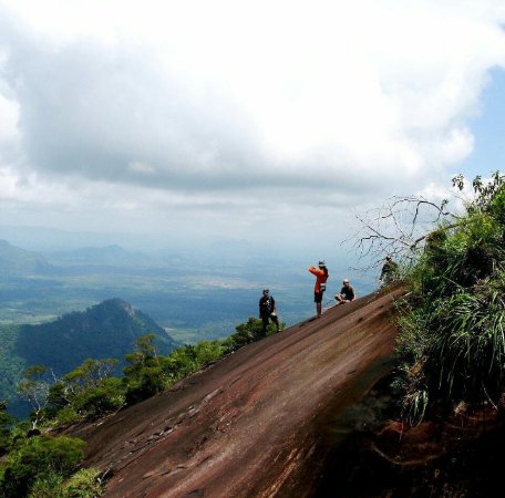
Puncak
Foto: Awalliu (Tripadvisor)
Elev 934 m Duration 4.2 hours Calories 2,342 kcal -
See full segmentation
Elevation profile, distance & time for each segment
Weather Conditions
Forecast at official points
Titik Awal Pendakian
84 m
Wednesday
22 July · 13:00
Clear
31 °C
7.9 km/h
Thursday
23 July · 13:00
Clear
30 °C
8.7 km/h
Friday
24 July · 13:00

Cloudy
31 °C
11.0 km/h
ⓘ The weather conditions above are data from Open Meteo
See 7-day forecastInformation
Details you need to know
- Water sources on the Ferrata climbing route of Mount Kelam are quite abundant. Several water sources are available along the route that can be consumed directly. Mount Kelam itself is also a source of clean water for the local community. (05-07-2025)
none at this time
ⓘ Last updated on Senin, 9 Maret 2026
Hiker Reviews
Stories from other hikers
0%
recommend · 0 hikers
Weather forecast
—
No data yet
Trail info
—
No data yet
Water source
—
No data yet
No Reviews Yet
Be the first to share your experience and review this hiking trail!
Error!
An error occurred while fetching reviews for this hiking trail.