Sukabumi, Jabar
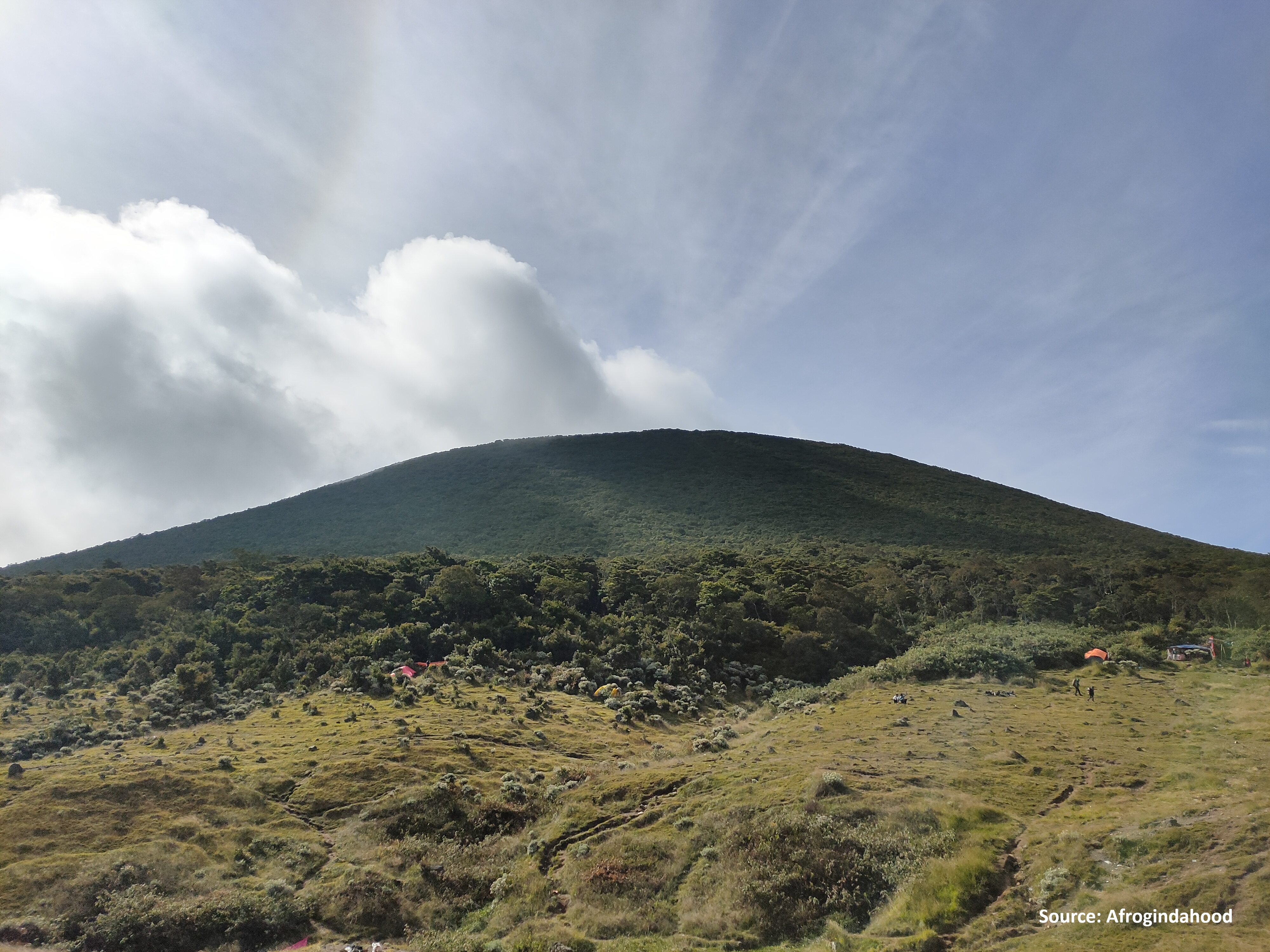
Gede via Selabintana
60 hikers viewed this trail in the last 7 days
Hiking Trail Suitable For Intermediate
Statistics
- Elevation Gain
- 1796m
-
Total Distance
The value shown is the total ASCENDING distance
- 8.79km
-
Travel Time
This travel time is the time taken for the ASCENDING journey only and does not account for rest stops along the way or overnight stays
- 6.5hours
-
Calories
The value shown is the calories used for ASCENDING and DESCENDING journeys, excluding calories needed during rest stops along the hike or for overnight stays
- kcal
Map & route
View the route
Trail waypoints
Every point along the trail
-
01
Basecamp
Elev 1121 m -
02
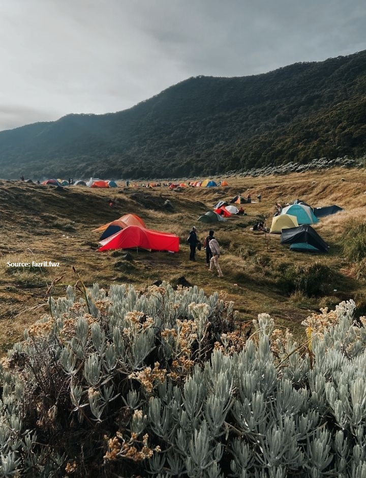
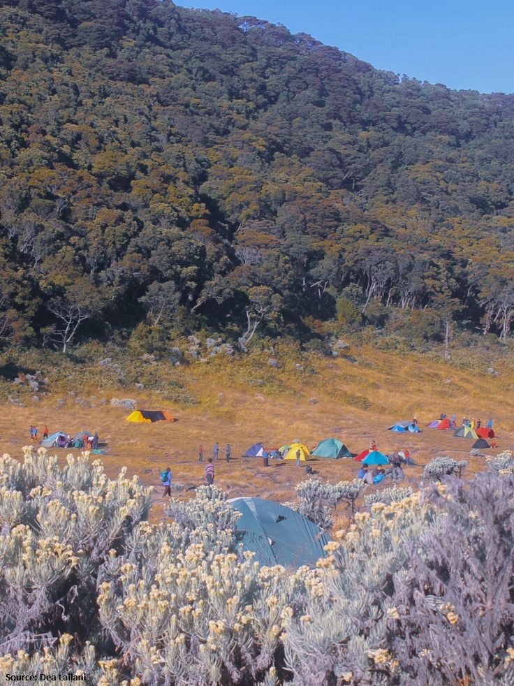
Suryakencana
Elev 2723 m Duration 5.8 hours Calories 3,780 kcal -
03
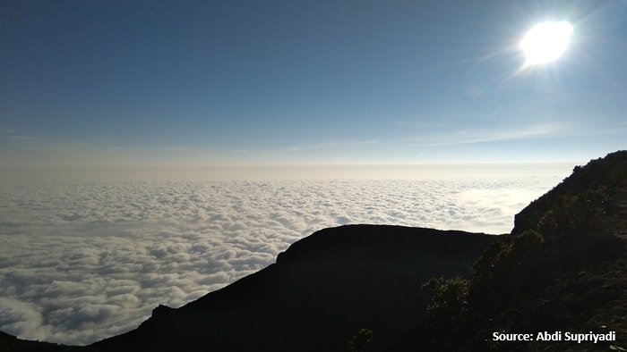
Summit
Elev 2917 m Duration 6.5 hours Calories 4,235 kcal -
See full segmentation
Elevation profile, distance & time for each segment
Weather Conditions
Forecast at official points
Basecamp
1,121 m
Tuesday
21 July · 13:00

Light Rain
24 °C
7.9 km/h
Wednesday
22 July · 13:00
Light Rain
23 °C
9.8 km/h
Thursday
23 July · 13:00

Cloudy
23 °C
12.6 km/h
ⓘ The weather conditions above are data from Open Meteo
See 7-day forecastInformation
Details you need to know
- Increased volcanic seismicity in Mount Gede Pangrango is closed extended until April 13, 2025 (04-10-2025)
- Water sources on the Selabintana hiking trail to Mount Gede are limited. Hikers are advised to bring sufficient water supplies, as there is no certainty about the availability of water sources on the hiking trail (19-06-2025)
- Hiking in Mount Gede Pangrango is closed from Monday (13-10-2025) until further notice. The BBTNGGP will announce the reopening of hiking in Mount Gede Pangrango after the trash cleaning process is completed. (12-10-2025)
- Increased volcanic activity
ⓘ Last updated on Senin, 9 Maret 2026
Hiker Reviews
Stories from other hikers
0%
recommend · 0 hikers
Weather forecast
—
No data yet
Trail info
—
No data yet
Water source
—
No data yet
No Reviews Yet
Be the first to share your experience and review this hiking trail!
Error!
An error occurred while fetching reviews for this hiking trail.
Other routes