Plan your hike, before you go.
Providing integrated information for hikers who want ease in planning mountain climbing and mountain exploration in Indonesia and abroad
Hiking Trails
Showing 12 of 163 trails
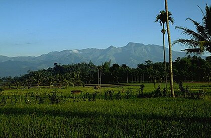
Pecalukan, Pasuruan, Jatim
Arjuno (Arjuna) via Tretes
- Elev
- 3,339m
- Distance
- 12.4 km
- Duration
- 7.3 hours
Cidahu, Sukabumi, Jabar
Salak via Javana Spa Cidahu
- Elev
- 2,215m
- Distance
- 6.6 km
- Duration
- 3.1 hours
Batur, Semarang, Jateng
Merbabu via Thekelan
- Elev
- 3,145m
- Distance
- 6.9 km
- Duration
- 8.7 hours
Cisurupan, Garut, Jabar
Papandayan via Pos Security
- Elev
- 2,665m
- Distance
- 7.9 km
- Duration
- 5.0 hours
Gondosuli, Karanganyar, Jateng
Lawu via Cemoro Kandang
- Elev
- 3,265m
- Distance
- 8.7 km
- Duration
- 5.9 hours
Bandungan, Semarang, Jateng
Ungaran via Perantunan
- Elev
- 2,050m
- Distance
- 3.8 km
- Duration
- 3.7 hours

Senaru, Lombok Utara, NTB
Rinjani via Senaru
- Elev
- 3,726m
- Distance
- 22.7 km
- Duration
- 16.1 hours
Kluncing, Banyuwangi, Jatim
Ijen via Paltuding
- Elev
- 2,769m
- Distance
- 5.2 km
- Duration
- 2.4 hours
Cibodas, Cianjur, Jabar
Gede via Cibodas
- Elev
- 2,961m
- Distance
- 9.4 km
- Duration
- 5.3 hours
Ketenger, Banyumas, Jateng
Curug Jenggala via Kalipagu
- Elev
- 1,300m
- Distance
- 6.6 km
- Duration
- 2.0 hours
Banyuroto, Magelang, Jateng
Merbabu via Suwanting
- Elev
- 3,145m
- Distance
- 6.6 km
- Duration
- 7.2 hours

Butuh, Temanggung, Jateng
Sumbing via Butuh-Kaliangkrik
- Elev
- 3,371m
- Distance
- 6.6 km
- Duration
- 6.1 hours
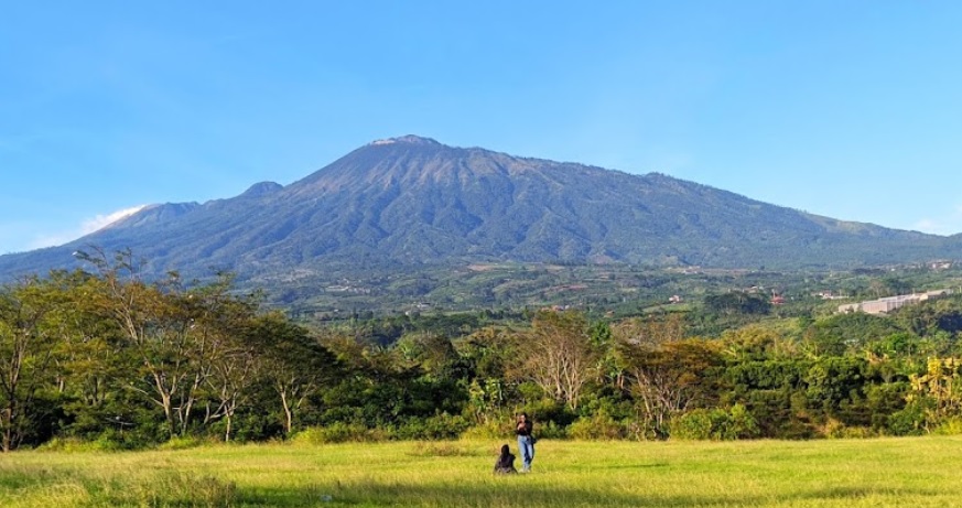
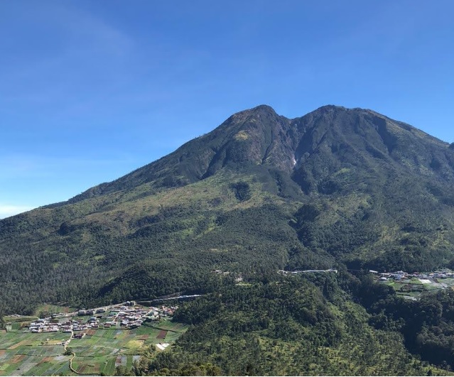
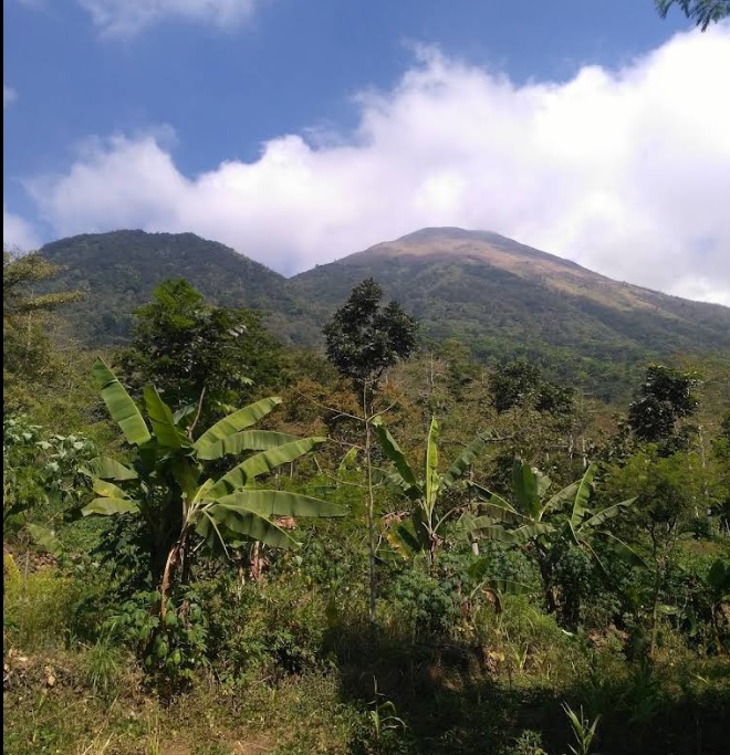
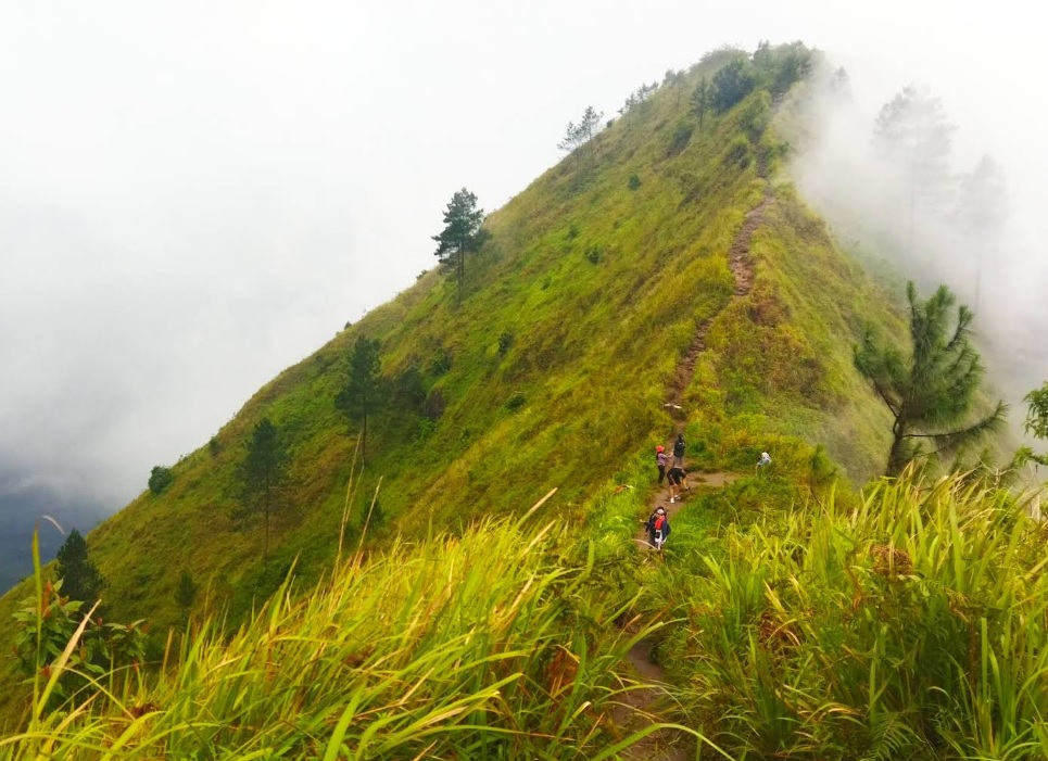
Pecalukan, Pasuruan, Jatim
Arjuno (Arjuna) via Tretes
Jalur normal Foto: Achmd Dill (googlemap - September 2022), Fera (googlemap - Juni 2020), Rosyad (googlemap - Agustus 2021)
Cidahu, Sukabumi, Jabar
Salak via Javana Spa Cidahu
Alternative route Photo : Silvania Dwiyanti (googlemap - September 2024)
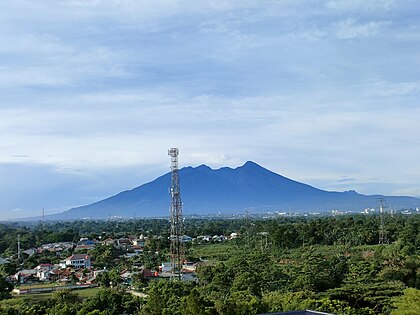
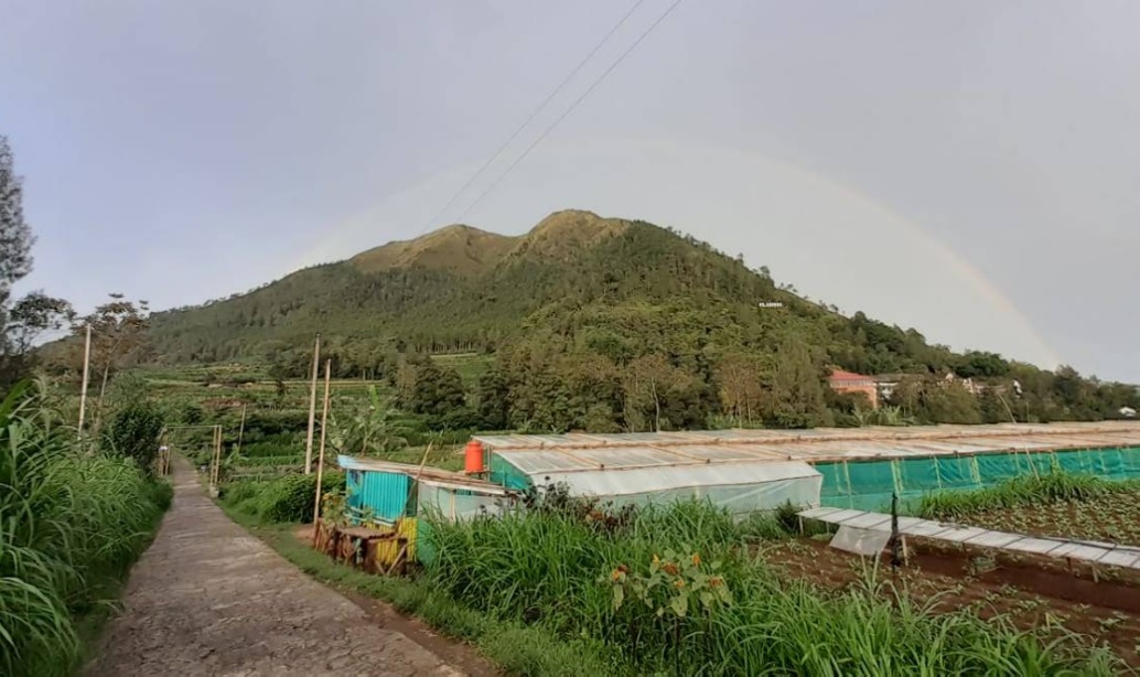
Batur, Semarang, Jateng
Merbabu via Thekelan
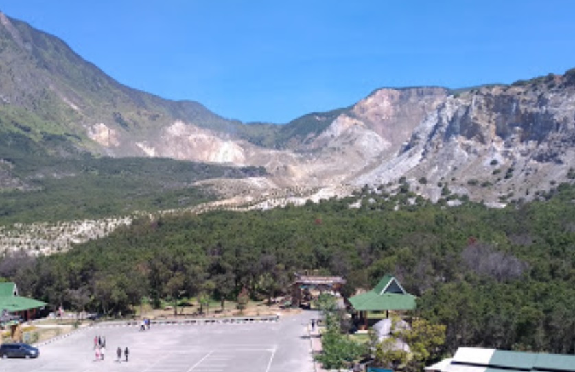
Cisurupan, Garut, Jabar
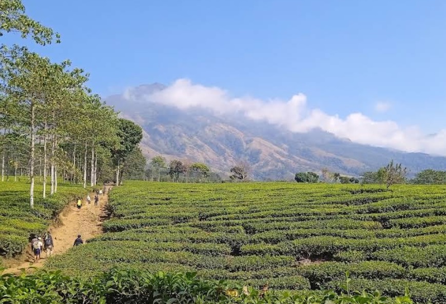
Papandayan via Pos Security
Jalur wisata Foto: Atika Pane (googlemap - Juli 2019)
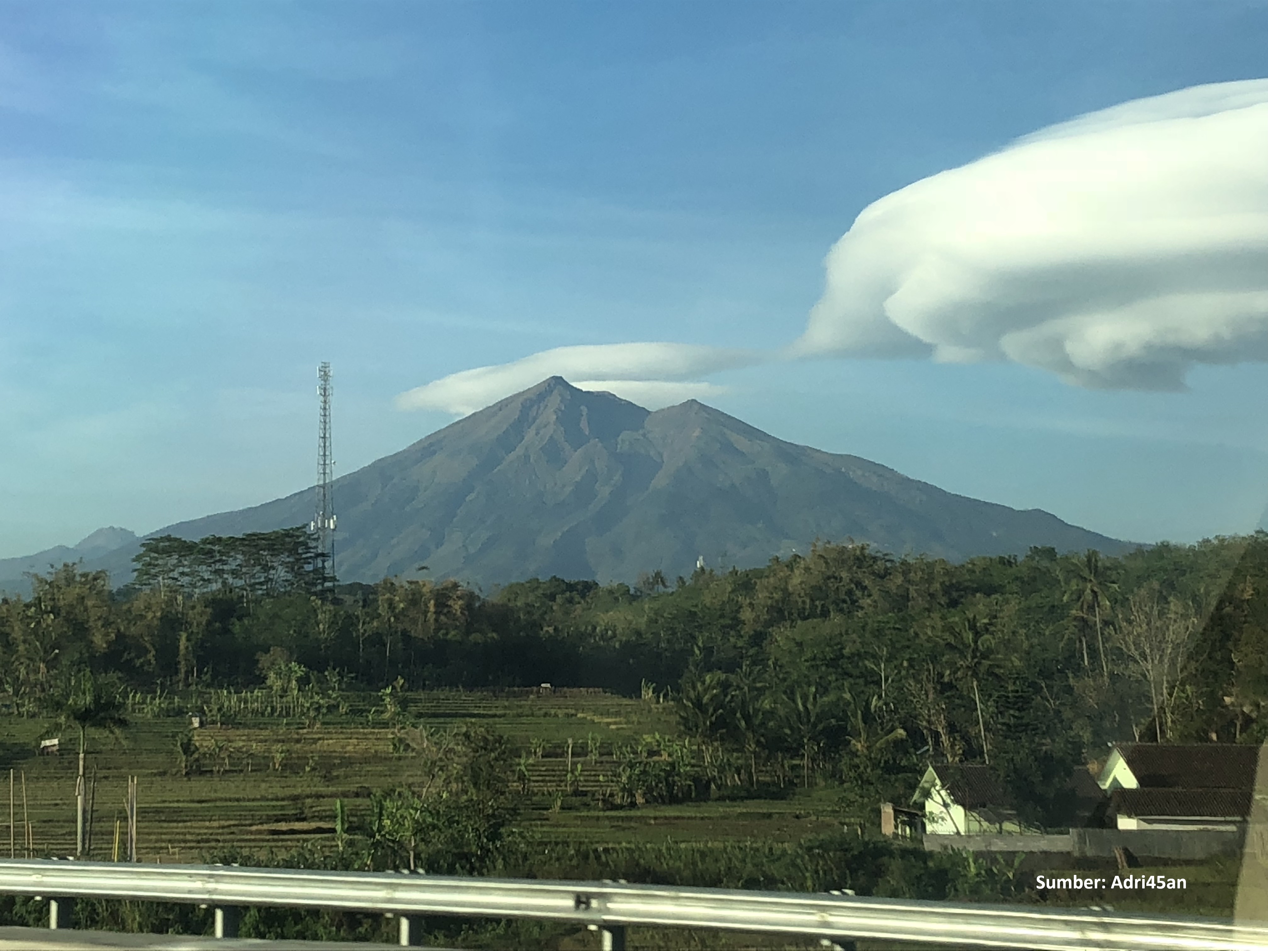
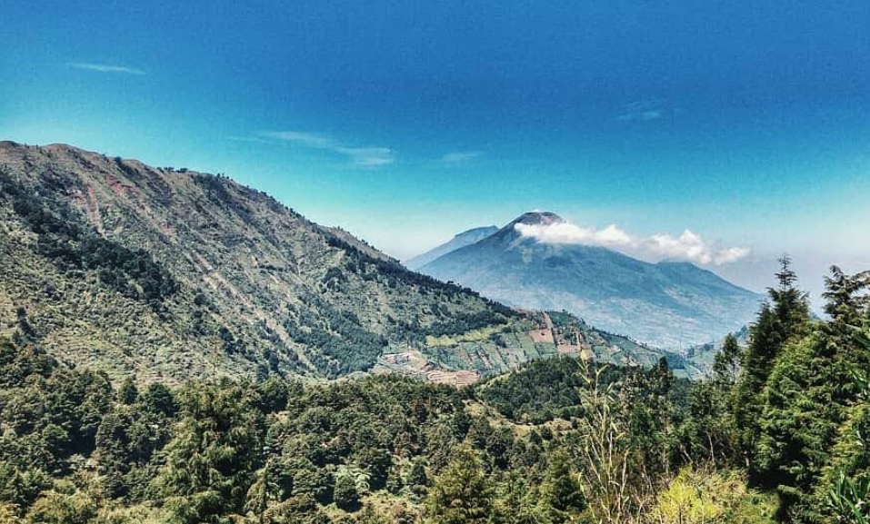
Gondosuli, Karanganyar, Jateng
Lawu via Cemoro Kandang
Favorite route Photo: Rajulan Ahmad Rajih (googlemap - September 2020)
Bandungan, Semarang, Jateng
Ungaran via Perantunan
Jalur normal. Foto: Setiawan Suryatmoko (googlemap - Juli 2024), Pratama Alfin (googlemap - Juni 2021)
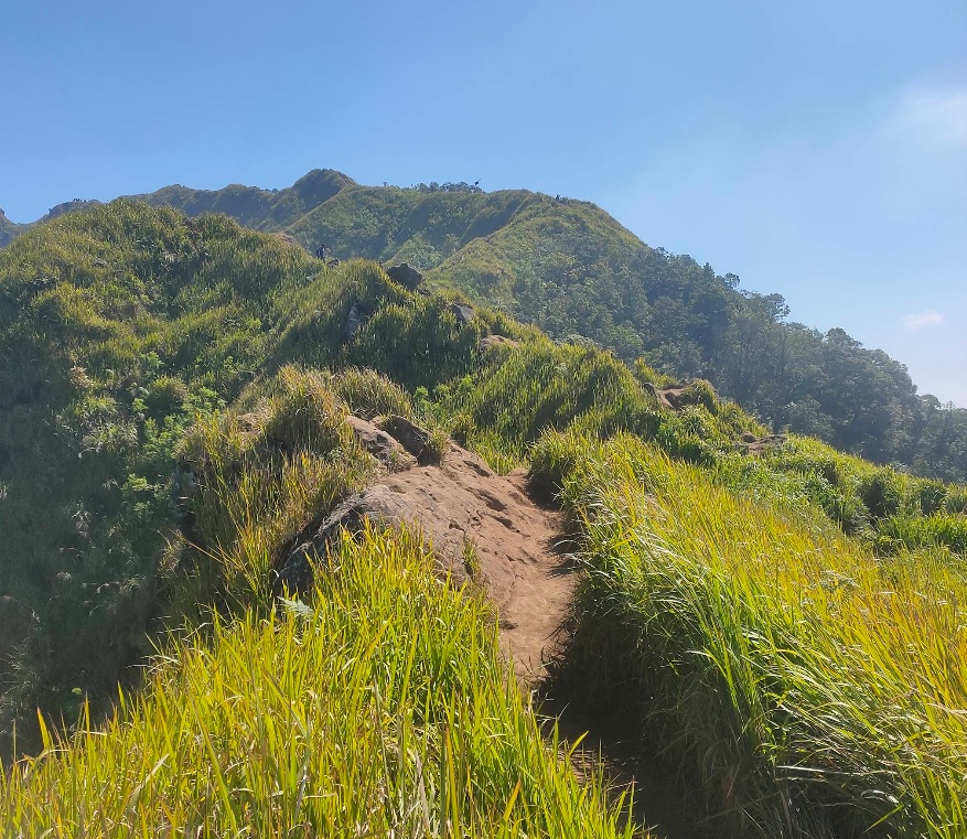
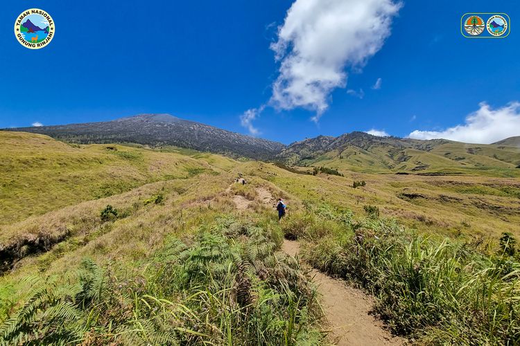
Senaru, Lombok Utara, NTB
Rinjani via Senaru
The Rinjani hiking trail through Senaru is known for its long duration, taking around 7-8 hours from the base camp to Post 3. The journey starts from an altitude of around 600 meters above sea level in Senaru Village and reaches the vegetation boundary at an altitude of 2,000 meters above sea level. Hikers will pass through a dense tropical rainforest for about 9 kilometers, where the temperature can reach 15-20°C during the day. This route is challenging but offers a reward in the form of a view of Lake Segara Anak at an altitude of 2,010 meters above sea level, making it an unforgettable hiking experience.
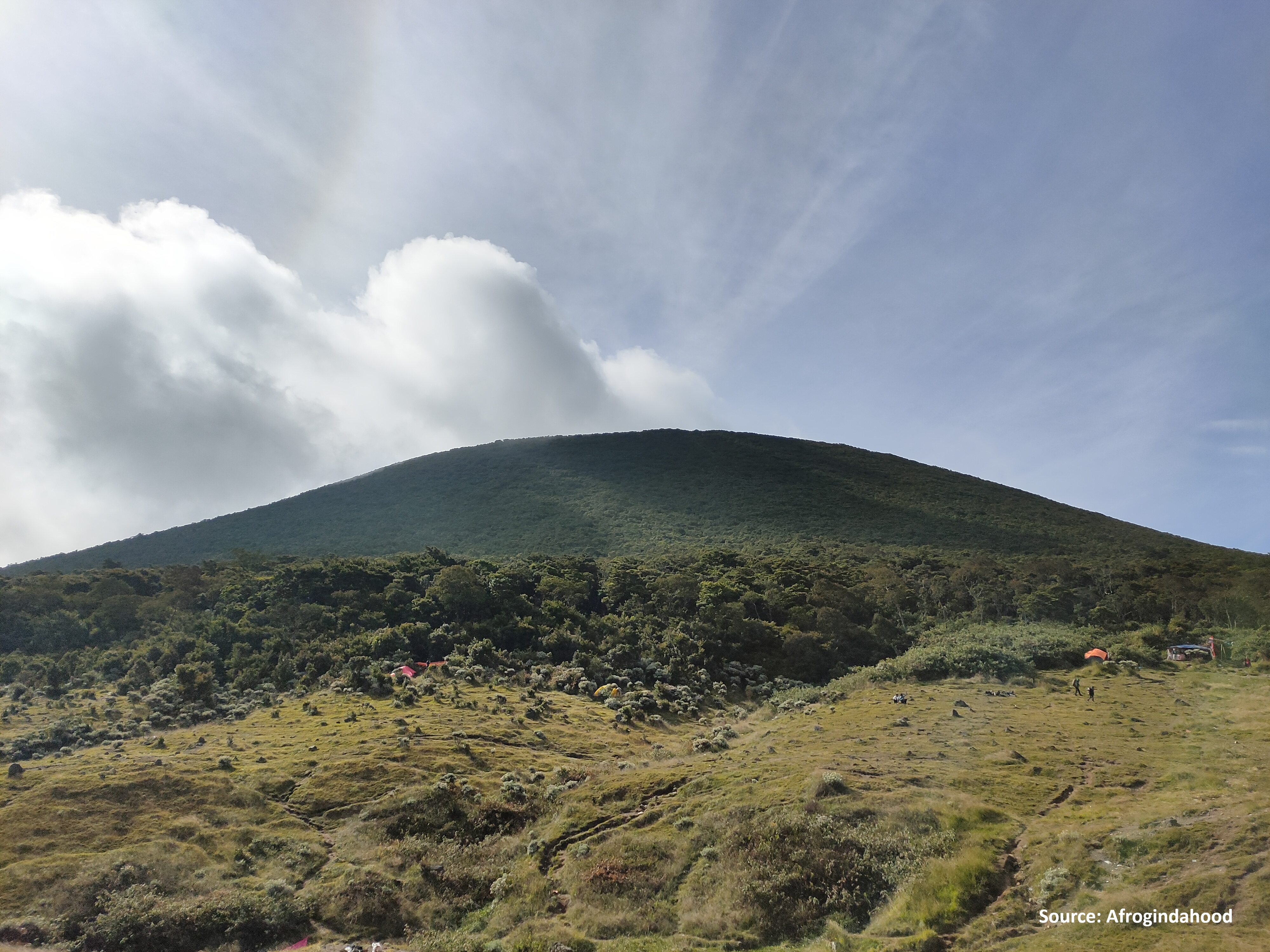
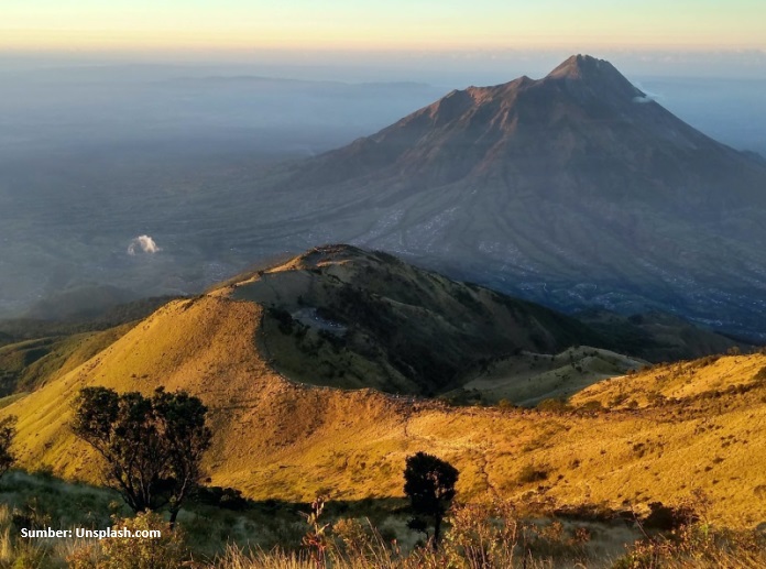
Kluncing, Banyuwangi, Jatim
Ijen via Paltuding
Most popular
Cibodas, Cianjur, Jabar
Gede via Cibodas
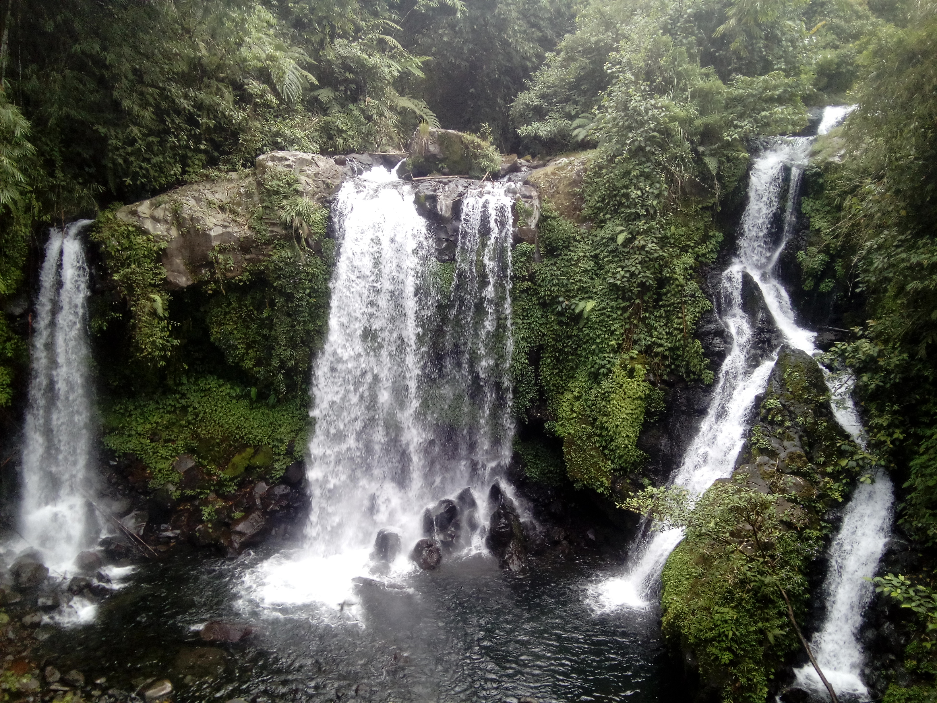
Ketenger, Banyumas, Jateng
Curug Jenggala via Kalipagu
Tourist route
Banyuroto, Magelang, Jateng
Merbabu via Suwanting
Butuh, Temanggung, Jateng
Sumbing via Butuh-Kaliangkrik
Foto: Akil Tokel (googlemap - Mei 2022)
Compare Trails
Which way is tougher — this route or that one?
See two routes up the same mountain, side by side — then decide.
Cibodas, Cianjur, Jabar
Gede via Cibodas
- Elev
- 2,961m
- Distance
- 9.4 km
- Duration
- 5.3 hours

Cibodas, Cianjur, Jabar
Gede via Mount Putri
- Elev
- 2,961m
- Distance
- 7.5 km
- Duration
- 4.9 hours

Besakih, Karangasem, Bali
Agung via The Great Temple of Besakih
- Elev
- 3,142m
- Distance
- 5.7 km
- Duration
- 7.5 hours
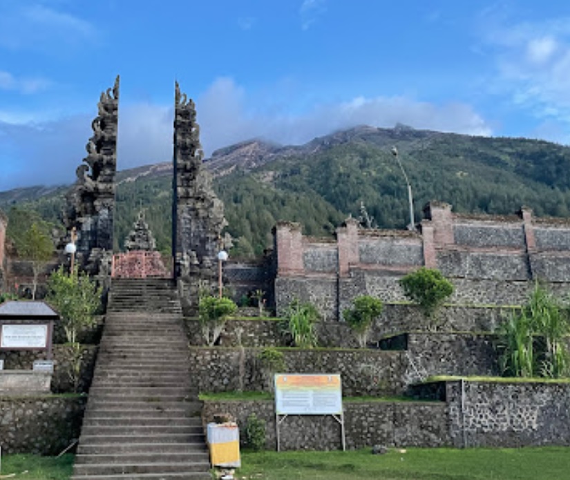
Sebudi, Karangasem, Bali
Agung via Pura Pasar Agung
- Elev
- 3,142m
- Distance
- 3.8 km
- Duration
- 6.3 hours
Tamiajeng, Mojokerto, Jatim
Penanggungan via Tamiajeng
- Elev
- 1,653m
- Distance
- 4.6 km
- Duration
- 4.3 hours
Kunjorowesi, Mojokerto, Jatim
Penanggungan via Kunjorowesi
- Elev
- 1,653m
- Distance
- 3.0 km
- Duration
- 4.6 hours
Overall, Penanggungan via Kunjorowesi is the more challenging climb.
Compare in full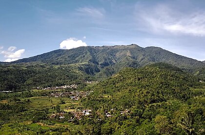
Patakbanteng, Wonosobo, Jateng
Prau (Parahu) via Patak Banteng
- Elev
- 2,590m
- Distance
- 3.3 km
- Duration
- 2.1 hours
Dataran Tinggi Dieng, Indonesia
Prau (Parahu) via Candi Dwarawati
- Elev
- 2,590m
- Distance
- 4.1 km
- Duration
- 1.5 hours
Senaru, Lombok Utara, NTB
Rinjani via Senaru
- Elev
- 3,726m
- Distance
- 22.7 km
- Duration
- 16.1 hours
 Featured
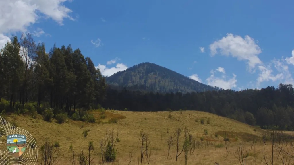
Sembalun, Lombok Timur, NTB
Rinjani via Sembalun
- Elev
- 3,726m
- Distance
- 16.4 km
- Duration
- 9.3 hours

Kutabawa, Purbalingga, Jateng
Slamet via Bambangan
- Elev
- 3,432m
- Distance
- 6.2 km
- Duration
- 6.8 hours

Ketenger, Banyumas, Jateng
Slamet via Baturraden
- Elev
- 3,432m
- Distance
- 7.6 km
- Duration
- 9.3 hours
Girirejo, Magelang, Jateng
Andong via Sawit
- Elev
- 1,726m
- Distance
- 2.2 km
- Duration
- 1.6 hours
Girirejo, Magelang, Jateng
Andong via Pendem
- Elev
- 1,726m
- Distance
- 3.0 km
- Duration
- 4.4 hours
Suroteleng, Boyolali, Jateng
Merbabu via Selo
- Elev
- 3,145m
- Distance
- 5.6 km
- Duration
- 4.8 hours
Banyuroto, Magelang, Jateng
Merbabu via Suwanting
- Elev
- 3,145m
- Distance
- 6.6 km
- Duration
- 7.2 hours
Overall, Merbabu via Suwanting is the more challenging climb.
Compare in full
Pecalukan, Pasuruan, Jatim
Arjuno (Arjuna) via Tretes
- Elev
- 3,339m
- Distance
- 12.4 km
- Duration
- 7.3 hours
Toyomarto, Malang, Jatim
Arjuno (Arjuna) via Wonosari Agro Tourism
- Elev
- 3,339m
- Distance
- 10.2 km
- Duration
- 9.3 hours
Bermi, Probolinggo, Jatim
Argopuro via Bremi (Bermi)
- Elev
- 3,088m
- Distance
- 19.2 km
- Duration
- 11.6 hours
Suaka Margasatwa Dataran Tinggi Hyang, Indonesia
Argopuro via Baderan
- Elev
- 3,088m
- Distance
- 21.0 km
- Duration
- 8.7 hours
muncak.id Ecosystem
Three tools. One journey.
Pick a trail here, plan your gear in Bekal, then match your profile in Rekomendasi — all in one ecosystem.
Explore trails, read reviews, check weather forecasts, and watch peak live cams.
Automatic gear list tailored to mountain, duration, and season — synced with your chosen trail.
Trail recommendation system based on experience, fitness, and scenery preferences.


About muncak.id
Public research, for public hikers.
muncak.id is an application designed to help hikers by providing comprehensive and structured mountain hiking guides, so that every step of the journey can be carefully planned.
In addition, this application provides integrated information for hikers who want ease in planning mountain climbing and mountain exploration in Indonesia and abroad. With access to various important information, users can be better prepared and confident in facing the challenges of nature.
Developer
Tropical Adventure Technology Development Center. Industrial Engineering, Geological Engineering and Informatics Laboratory, Universitas Jenderal Soedirman.
Key features
What sets muncak.id apart.
Complete Information
Providing detailed, complete, and reliable information for every hiking trail
Hiker Reviews
Check info accuracy and current trail conditions from other hikers
Weather & Calorie Forecast
View weather forecasts and estimated calories burned during your hike
Maps & Waypoints
Explore maps and key points for easier navigation