Lombok Utara, NTB
Rinjani via Senaru
16 hikers viewed this trail in the last 7 days
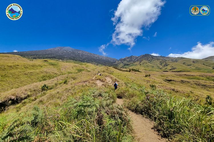
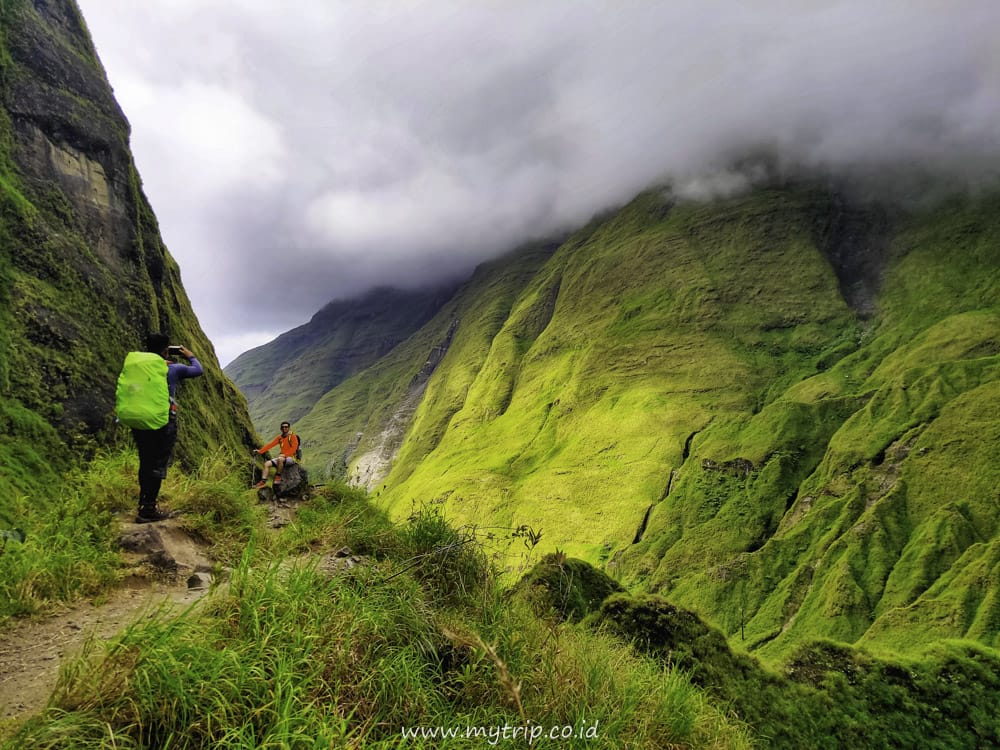
The Rinjani hiking trail through Senaru is known for its long duration, taking around 7-8 hours from the base camp to Post 3. The journey starts from an altitude of around 600 meters above sea level in Senaru Village and reaches the vegetation boundary at an altitude of 2,000 meters above sea level. Hikers will pass through a dense tropical rainforest for about 9 kilometers, where the temperature can reach 15-20°C during the day. This route is challenging but offers a reward in the form of a view of Lake Segara Anak at an altitude of 2,010 meters above sea level, making it an unforgettable hiking experience.
Hiking Trail Suitable For Athlete
High altitude (4,000–5,000 masl) with very high elevation gain (2,000–3,000 m), very long trails (15–20 km; 20–40 hours), steep slopes (40–50°) with high physical demand.
Derived from
22.70 km · 3227 m · 3,726 masl · 28.4° · 32.2 hours round trip
Statistics
- Elevation Gain
- 3227m
-
Total Distance
The value shown is the total ASCENDING distance
- 22.70km
-
Travel Time
This travel time is the time taken for the ASCENDING journey only and does not account for rest stops along the way or overnight stays. The difficulty level is derived from the round-trip time, which is twice this value
- 16.1hours
-
Calories
The value shown is the calories used for ASCENDING and DESCENDING journeys, excluding calories needed during rest stops along the hike or for overnight stays
- kcal
- Altitude
- 3,726masl
-
Steepness
Trail steepness is taken at the 95th percentile across all segments, with very short segments discarded so GPS noise does not overstate the value
- 28.4°C3
Map & route
View the route
Trail waypoints
Every point along the trail
-
01
Basecamp
Elev 365 m -
02
Segara Anak Camp
Elev 2019 m Duration 4.6 hours Calories 3,156 kcal -
03
Puncak
Elev 3592 m Duration 16.1 hours Calories 9,101 kcal -
See full segmentation
Elevation profile, distance & time for each segment
Weather Conditions
Forecast at official points
Basecamp
365 m
Thursday
17 September · 13:00

Partly Cloudy
28 °C
9.2 km/h
Friday
18 September · 13:00

Clear
28 °C
12.3 km/h
Saturday
19 September · 13:00
Clear
28 °C
17.2 km/h
ⓘ The weather conditions above are data from Open Meteo
See 7-day forecastInformation
Details you need to know
- There is no new information related to volcanic activity through this route (20-01-25).
- Water sources on this route are limited and are usually available at Post 2 and around Lake Segara Anak. Hikers are advised to bring sufficient water supplies, especially during the dry season.
- This route tends to be wet and slippery, especially during the rainy season. Hikers are advised to bring waterproof gear and be careful in steep areas.
- Some areas are considered sacred and cannot be entered without special permission. Hikers can ask porters or guides about these locations.
- The Rinjani hiking trail is open until March 31, 2026 (27-01-2026)
- There are no new prohibitions related to hiking and volcanic activities through this route (20-01-25).
- Near the vegetation boundary, edelweiss often grows abundantly. Picking edelweiss is prohibited because the plant is protected and has spiritual and symbolic value for the Sasak community.
- The Senaru route often experiences cleanliness problems due to hiker trash. Hikers are required to bring down all trash, including organic waste, and follow the Leave No Trace principle
- Lighting campfires is prohibited along the route to Lake Segara Anak. Forest fires are a serious threat, especially during the dry season. Only the use of portable stoves is allowed for cooking.
- A health certificate is valid for a maximum of 1 day before hiking
- It is mandatory to fill out a statement letter and other insurance data owned
- Hikers must have experience (photos/certificates/interviews)
- Hikers under 17 years old must be accompanied and bring parental permission
- Beginners must be accompanied by an experienced guide
- It is mandatory to follow safety briefings
- The ratio is 1 guide: 5 hikers
- The ratio is 1 porter: 2 foreign hikers / 3 local hikers
- TO must ensure the standard of hiking equipment
- It is prohibited to bring active speakers and musical instruments
- Rescheduling must be reported and accompanied by a reason for the schedule change and supporting evidence
ⓘ Last updated on Jumat, 3 Juli 2026
Hiker Reviews
Stories from other hikers
100%
recommend · 1 hikers
Weather forecast
—
No data yet
Trail info
—
No data yet
Water source
—
No data yet
No Reviews Yet
Be the first to share your experience and review this hiking trail!
Error!
An error occurred while fetching reviews for this hiking trail.
Other routes