Banyuwangi, Jatim
Ijen via Paltuding
Trending
48 hikers viewed this trail in the last 7 days
Most popular
Hiking Trail Suitable For Beginner
Statistics
- Elevation Gain
- 482m
-
Total Distance
The value shown is the total ASCENDING distance
- 5.21km
-
Travel Time
This travel time is the time taken for the ASCENDING journey only and does not account for rest stops along the way or overnight stays
- 2.4hours
-
Calories
The value shown is the calories used for ASCENDING and DESCENDING journeys, excluding calories needed during rest stops along the hike or for overnight stays
- kcal
Map & route
View the route
Trail waypoints
Every point along the trail
-
01
Basecamp Paltuding
Elev 1841 m -
02
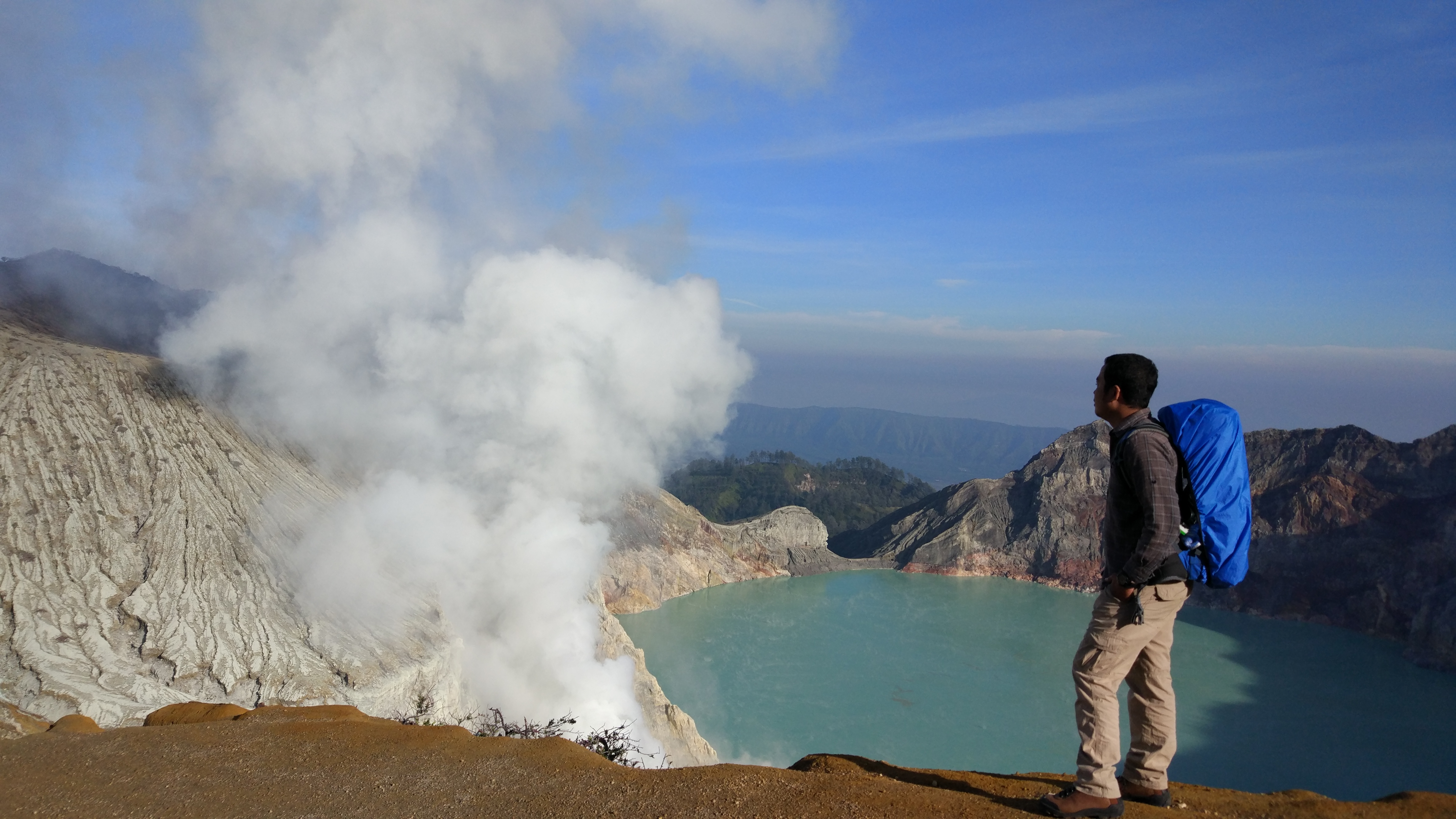
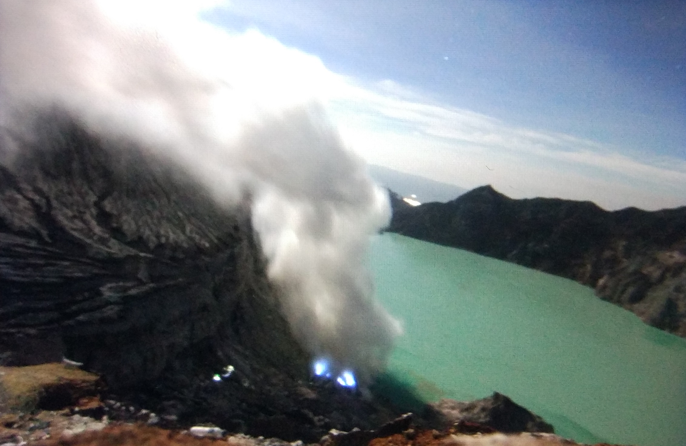
Kawah Ijen
Elev 2323 m Duration 2.4 hours Calories 1,296 kcal -
See full segmentation
Elevation profile, distance & time for each segment
Weather Conditions
Forecast at official points
Basecamp Paltuding
1,841 m
Tuesday
21 July · 13:00

Light Rain
17 °C
3.7 km/h
Wednesday
22 July · 13:00
Light Rain
16 °C
3.1 km/h
Thursday
23 July · 13:00

Cloudy
14 °C
4.0 km/h
ⓘ The weather conditions above are data from Open Meteo
See 7-day forecastInformation
Details you need to know
- From Banyuwangi or Bondowoso, the nearest city. Rent a car, follow a tour, or ride a scooter to Paltuding Base Camp, the starting point.
- Hikers are required to obtain a health certificate at the Pos Kesehatan Wisata, Paltuding (https://www.rri.co.id/jember/wisata/1250155/pos-kesehatan-wisata-pendaki-ijen-wajib-punya-suket)
- The route is modified from the original source: https://www.wikiloc.com/hiking-trails/ijen-volcano-38545425
- Photos are taken from the source: https://bappeda.jatimprov.go.id/2023/06/04/gunung-ijen-ditetapkan-sebagai-unesco-global-geopark/
- The main water source on the Ijen Mountain hiking trail via Paltuding is the water from the Gunung Ranti spring. This spring has a fairly large discharge, around 11 liters per second, and is located at an altitude of 2,400 meters above sea level. The water from this spring is channeled and utilized for the needs in Paltuding (hiking post) and the surrounding area of Ijen Crater, including the Ijen Crater Nature Park. (04-07-2025)
Hikers are also required to know and comply with the risk zone limits along the hiking trail, in the form of green flags (safe) covering the Paltuding-Pondok Bunder route; yellow flags (caution), namely the Pondok Bunder-Blok Kelek (Cemara 1) route, and red flags (high risk/danger), the Blok Kelek-Ijen Peak route (https://www.tempo.co/hiburan/kuota-kunjungan-ke-twa-kawah-ijen-dibatasi-2-000-orang-saat-libur-nataru-1184919).
ⓘ Last updated on Jumat, 3 Juli 2026
Hiker Reviews
Stories from other hikers
100%
recommend · 1 hikers
Weather forecast
—
No data yet
Trail info
—
No data yet
Water source
—
No data yet
No Reviews Yet
Be the first to share your experience and review this hiking trail!
Error!
An error occurred while fetching reviews for this hiking trail.