Plan your hike, before you go.
Providing integrated information for hikers who want ease in planning mountain climbing and mountain exploration in Indonesia and abroad
Hiking Trails
Showing 12 of 170 trails
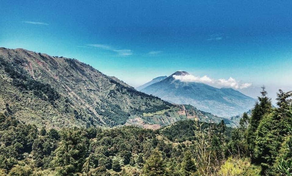
Dieng Kulon, Banjarnegara, Jateng
Prau (Parahu) via Candi Dwarawati
- Elev
- 2,590m
- Distance
- 4.0 km
- Duration
- 1.5 hours

Sembalun Lawang, Lombok Timur, NTB
Pergasingan via Sangkabira Edu-Ekowisata
- Elev
- 1,805m
- Distance
- 2.5 km
- Duration
- 2.7 hours

Ababi, Karangasem, Bali
Bukit Ababi via Tirta Gangga [-Loop-]
- Elev
- 366m
- Distance
- 9.1 km
- Duration
- 2.2 hours
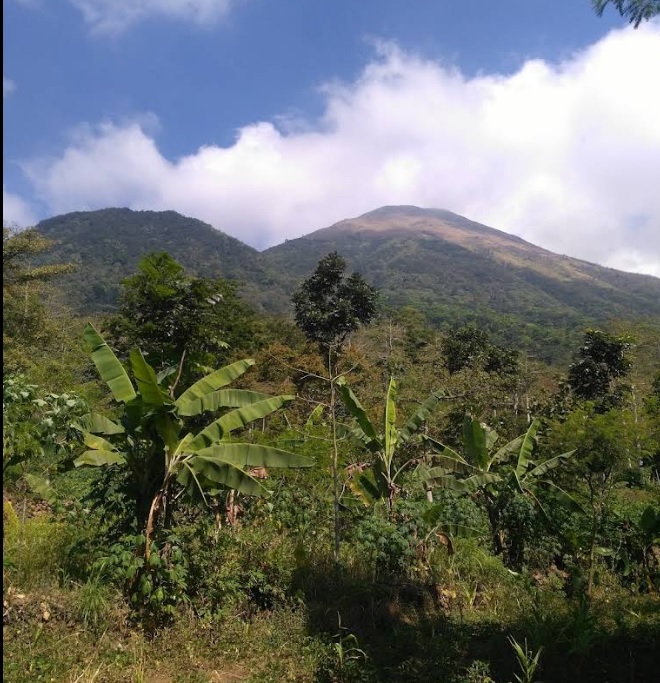
Kunjorowesi, Mojokerto, Jatim
Penanggungan via Kunjorowesi
- Elev
- 1,653m
- Distance
- 3.0 km
- Duration
- 4.7 hours
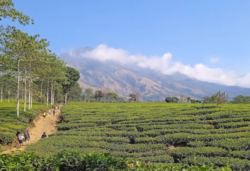
Toyomarto, Malang, Jatim
Arjuno (Arjuna) via Wonosari Agro Tourism
- Elev
- 3,339m
- Distance
- 9.9 km
- Duration
- 9.5 hours
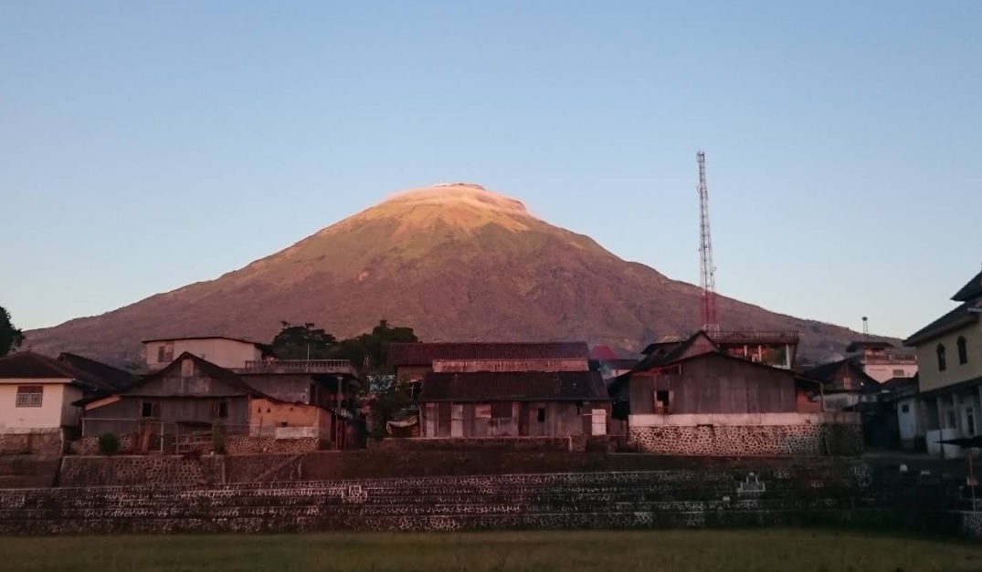
Bansari, Temanggung, Jateng
Mount Sindoro via Bansari
- Elev
- 3,146m
- Distance
- 7.1 km
- Duration
- 6.6 hours
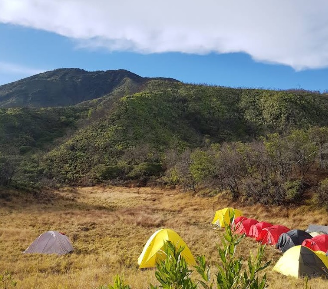
Payung, Majalengka, Jabar
Ciremai via Sadarehe
- Elev
- 3,078m
- Distance
- 6.8 km
- Duration
- 6.3 hours

Airmadidi Atas, Minahasa Utara, Sulawesi Utara
Klabat via Airmadidi
- Elev
- 1,995m
- Distance
- 6.2 km
- Duration
- 7.3 hours
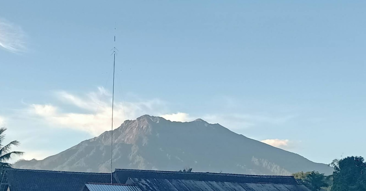
Kalibaruwetan, Banyuwangi, Jatim
Raung via Kalibaruwetan
- Elev
- 3,332m
- Distance
- 15.1 km
- Duration
- 12.1 hours

Pandat, Pandeglang, Banten
Pulosari via Cihunjuran
- Elev
- 1,324m
- Distance
- 4.4 km
- Duration
- 3.5 hours
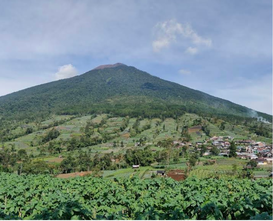
Karangreja, Purbalingga, Jateng
Slamet via Mount Malang
- Elev
- 3,432m
- Distance
- 6.5 km
- Duration
- 7.4 hours
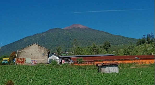
Clekatakan, Pemalang, Jateng
Slamet via Dipajaya
- Elev
- 3,432m
- Distance
- 6.1 km
- Duration
- 6.5 hours
Dieng Kulon, Banjarnegara, Jateng
Prau (Parahu) via Candi Dwarawati
Jalur Populer. Foto: Who is (googlemap - Juli 2018), Poni Poni (googlemap - Agustus 2020)
Sembalun Lawang, Lombok Timur, NTB
Pergasingan via Sangkabira Edu-Ekowisata
Tourist Destination. Photo: Jane Mal (googlemap - August 2017), Farrell Oliver (googlemap - May 2024)
Ababi, Karangasem, Bali
Bukit Ababi via Tirta Gangga [-Loop-]
Tujuan Wisata. Foto: Pondok Lembah Dukuh Homestay (googlemap - Agustus 2023)
Kunjorowesi, Mojokerto, Jatim
Penanggungan via Kunjorowesi
Jalur populer. Foto: M.Fayyid Amiri Asriel (googlemap - Juni 2019)
Toyomarto, Malang, Jatim
Arjuno (Arjuna) via Wonosari Agro Tourism
Tujuan populer. Foto: Giman Giman (googlemap - September 2024)
Bansari, Temanggung, Jateng
Mount Sindoro via Bansari
An alternative route. Photo: Base Camp (googlemap - August 2018)
Payung, Majalengka, Jabar
Ciremai via Sadarehe
Jalur Alternatif. Foto: Aom Muhtarom (googlemap - December 2022)
Airmadidi Atas, Minahasa Utara, Sulawesi Utara
Klabat via Airmadidi
Tujuan Favorit. Foto: Cemilan Buaya (googlemap - Januari 2024)
Kalibaruwetan, Banyuwangi, Jatim
Raung via Kalibaruwetan
Alternative Route. Photo: Rhagil Putrha (googlemap - May 2020)
Pandat, Pandeglang, Banten
Pulosari via Cihunjuran
Tourist destination. Photo: Buri-Buri Zaemon (googlemap - January 2019)
Karangreja, Purbalingga, Jateng
Slamet via Mount Malang
Alternative Route. Photo: Hengky Boentoro (googlemap - September 2022)
Clekatakan, Pemalang, Jateng
Slamet via Dipajaya
Alternative Route. Photo: ulya 1922 (googlemap - September 2021), martin setiawan (googlemap - July 2025)
Compare Trails
Which way is tougher — this route or that one?
See two routes up the same mountain, side by side — then decide.
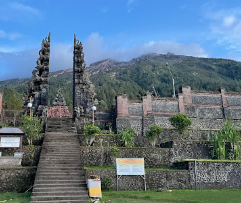
Sebudi, Karangasem, Bali
Agung via Pura Pasar Agung
- Elev
- 3,142m
- Distance
- 3.7 km
- Duration
- 6.4 hours
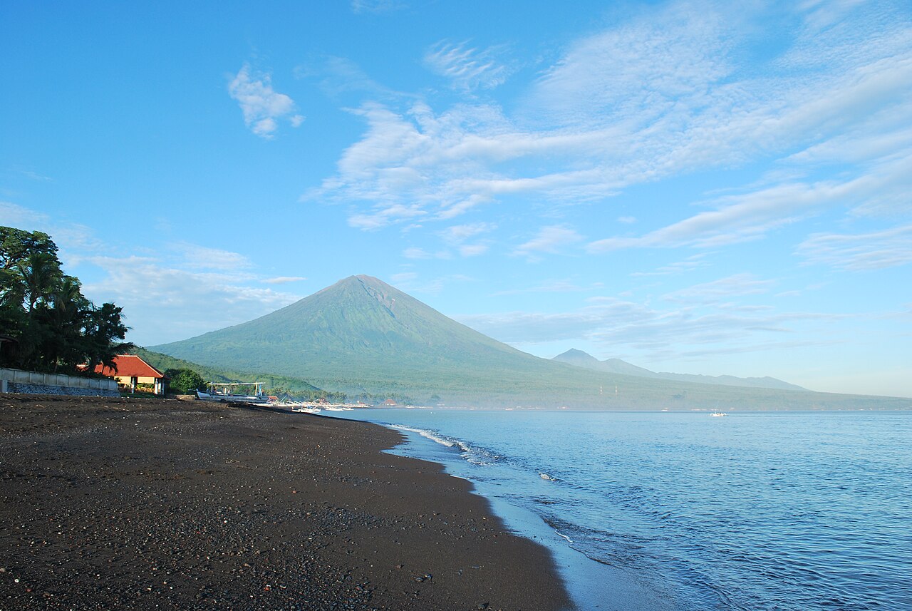
Besakih, Karangasem, Bali
Agung via The Great Temple of Besakih
- Elev
- 3,142m
- Distance
- 5.6 km
- Duration
- 7.7 hours
Overall, Agung via The Great Temple of Besakih is the more challenging climb.
Compare in full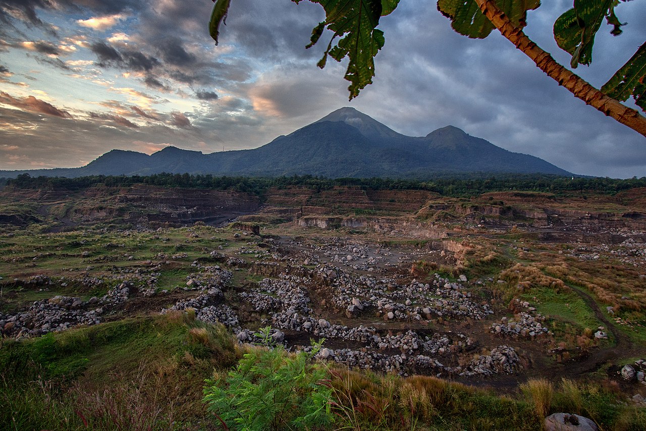
Tamiajeng, Mojokerto, Jatim
Penanggungan via Tamiajeng
- Elev
- 1,653m
- Distance
- 4.5 km
- Duration
- 4.3 hours
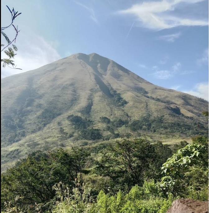
Seloliman, Mojokerto, Jatim
Penanggungan via Jolotundo
- Elev
- 1,653m
- Distance
- 5.4 km
- Duration
- 4.7 hours
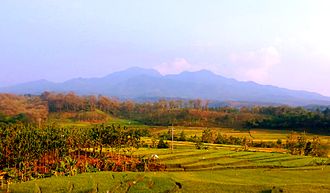
Bajulan, Nganjuk, Jatim
Wilis via Bajulan (Jolotundo)
- Elev
- 2,563m
- Distance
- 9.0 km
- Duration
- 5.8 hours
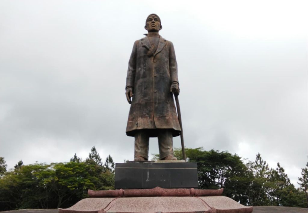 Featured
Yogyakarta - Central Java - East Java, Indonesia
Wilis via General Soedirman Guerrilla Trail
- Elev
- 2,563m
- Distance
- 606.3 km
- Duration
- 120.3 hours
Dieng Kulon, Banjarnegara, Jateng
Prau (Parahu) via Candi Dwarawati
- Elev
- 2,590m
- Distance
- 4.0 km
- Duration
- 1.5 hours
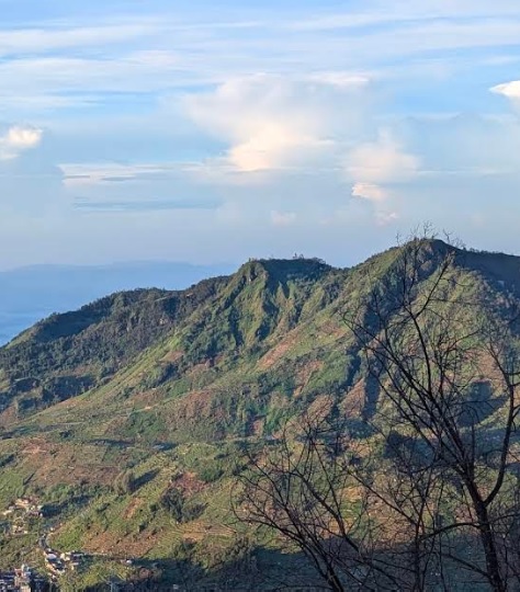
Patakbanteng, Wonosobo, Jateng
Prau (Parahu) via Patak Banteng (Jalur Lama)
- Elev
- 2,590m
- Distance
- 3.7 km
- Duration
- 3.2 hours
Overall, Prau (Parahu) via Patak Banteng (Jalur Lama) is the more challenging climb.
Compare in full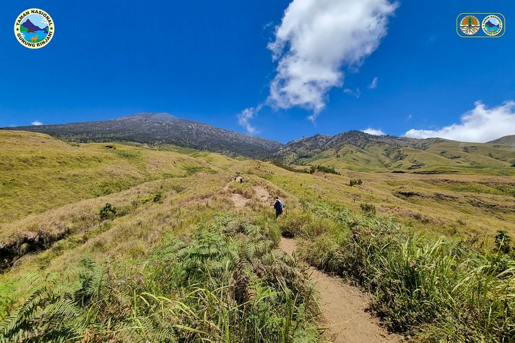 Featured
Sembalun, Lombok Timur, NTB
Rinjani via Sembalun
- Elev
- 3,726m
- Distance
- 16.0 km
- Duration
- 9.4 hours
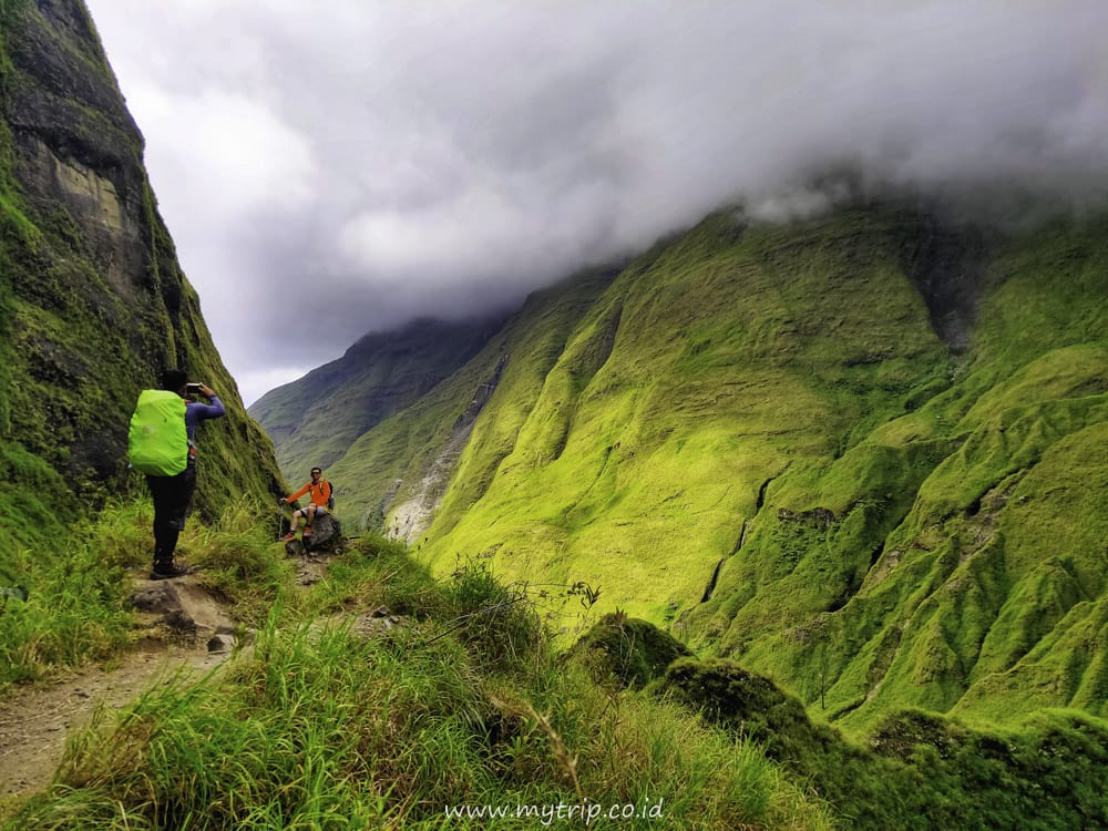
Loloan, Lombok Utara, NTB
Rinjani via Torean
- Elev
- 3,726m
- Distance
- 18.4 km
- Duration
- 13.0 hours
Overall, Rinjani via Torean is the more challenging climb.
Compare in full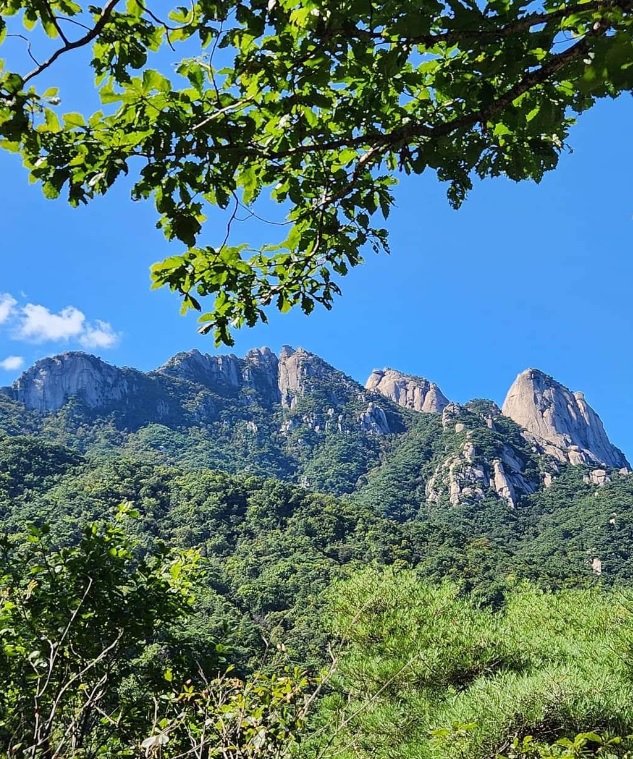
Bukhansan National Park, South Korea
Bukhansan via Bulgwang-ro
- Elev
- 884m
- Distance
- 11.2 km
- Duration
- 7.5 hours
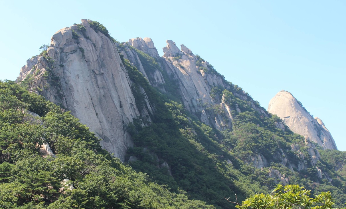
Bukhansan National Park, South Korea
Bukhansan via Samyang-ro
- Elev
- 884m
- Distance
- 3.9 km
- Duration
- 2.5 hours

Kutabawa, Purbalingga, Jateng
Slamet via Bambangan
- Elev
- 3,432m
- Distance
- 6.1 km
- Duration
- 6.9 hours

Ketenger, Banyumas, Jateng
Slamet via Baturraden
- Elev
- 3,432m
- Distance
- 7.5 km
- Duration
- 9.5 hours
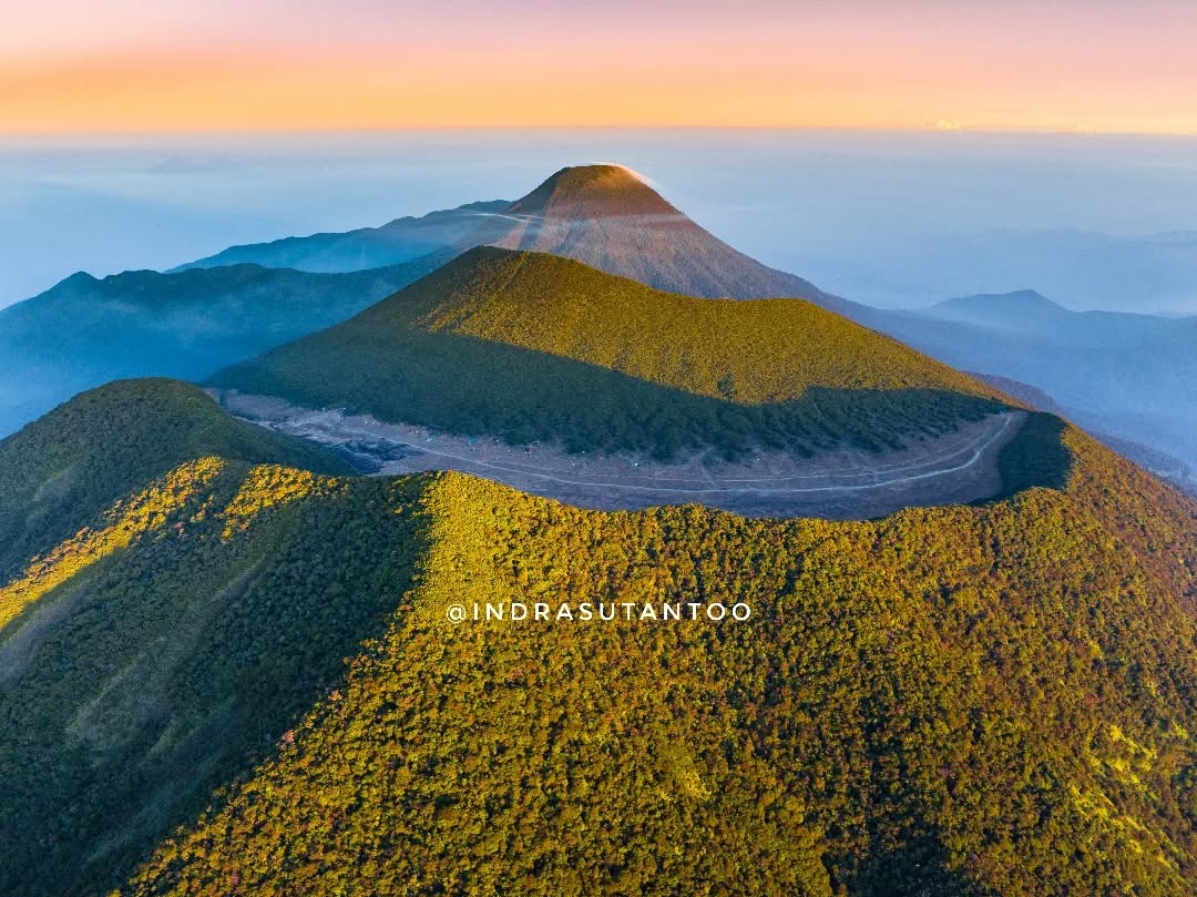
Cibodas, Cianjur, Jabar
Gede via Mount Putri
- Elev
- 2,961m
- Distance
- 7.4 km
- Duration
- 5.0 hours
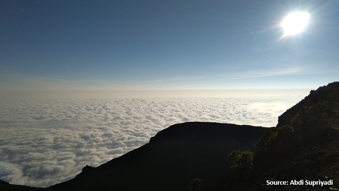
Perbawati, Sukabumi, Jabar
Gede via Selabintana
- Elev
- 2,961m
- Distance
- 8.6 km
- Duration
- 6.5 hours
Overall, Gede via Selabintana is the more challenging climb.
Compare in full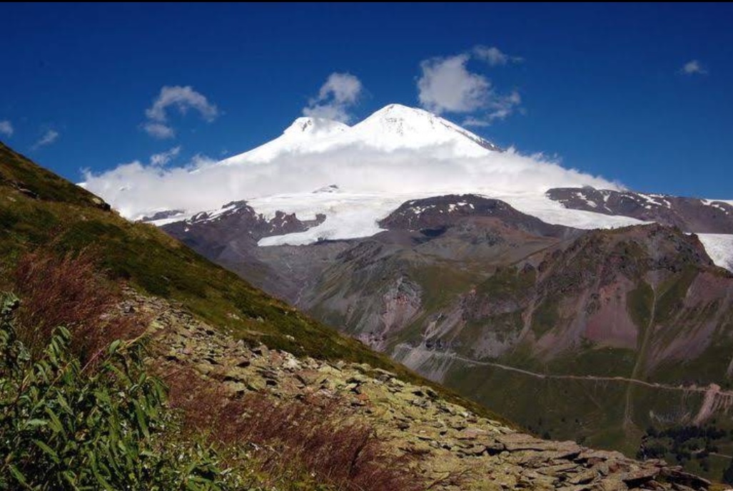
The Caucasus Mountains, Russia
Mount Elbrus via Lesnaya Ulitsa
- Elev
- 5,642m
- Distance
- 25.3 km
- Duration
- 16.0 hours
The Caucasus Mountains, Russia
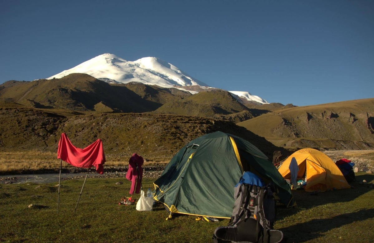
Mount Elbrus via Terskol
- Elev
- 5,642m
- Distance
- 25.2 km
- Duration
- 15.3 hours
 Featured
Fuji-Hakone-Izu National Park, Japan
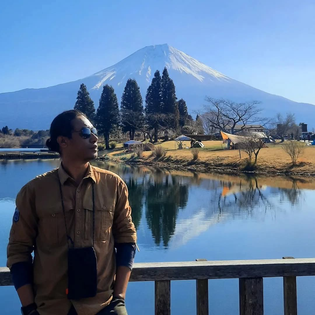
Fuji via Yoshida (5th Station Lounge)
- Elev
- 3,776m
- Distance
- 6.9 km
- Duration
- 4.7 hours
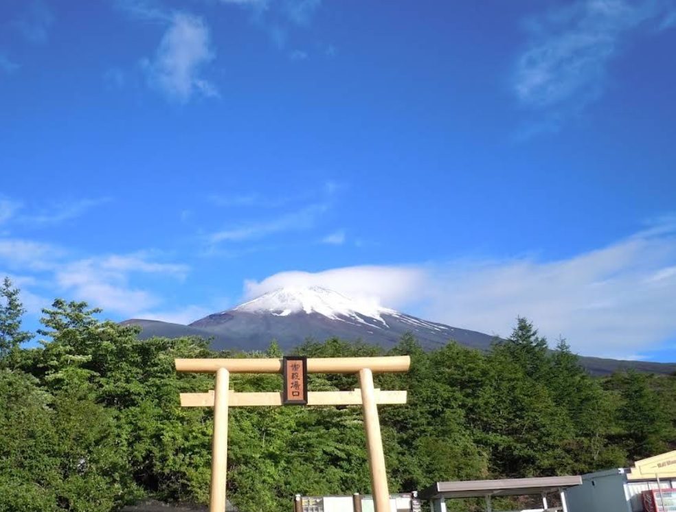
Fuji-Hakone-Izu National Park, Japan
Fuji via Gotemba
- Elev
- 3,776m
- Distance
- 10.8 km
- Duration
- 7.0 hours
Overall, Fuji via Gotemba is the more challenging climb.
Compare in fullmuncak.id Ecosystem
Three tools. One journey.
Pick a trail, plan your provisions, then match your profile in Rekomendasi — all in one ecosystem.
 muncak.id
Explore trails, read reviews, check weather forecasts, and watch peak live cams.
Work out calories, water, weight, and pack fit for the trail you picked — against a real product catalog.
Trail recommendation system based on experience, fitness, and scenery preferences.


About muncak.id
Public research, for public hikers.
muncak.id is an application designed to help hikers by providing comprehensive and structured mountain hiking guides, so that every step of the journey can be carefully planned.
In addition, this application provides integrated information for hikers who want ease in planning mountain climbing and mountain exploration in Indonesia and abroad. With access to various important information, users can be better prepared and confident in facing the challenges of nature.
Developer
Tropical Adventure Technology Development Center. Industrial Engineering, Geological Engineering and Informatics Laboratory, Universitas Jenderal Soedirman.
Key features
What sets muncak.id apart.
Complete Information
Providing detailed, complete, and reliable information for every hiking trail
Hiker Reviews
Check info accuracy and current trail conditions from other hikers
Weather & Calorie Forecast
View weather forecasts and estimated calories burned during your hike
Maps & Waypoints
Explore maps and key points for easier navigation
Feedback
Help us improve accuracy and reliability
Wrong trail data, a forecast that missed, or something broken? Tell us on Instagram — that's where we read and reply.