Banyuwangi, Jatim
Raung via Kalibaruwetan
9 hikers viewed this trail in the last 7 days
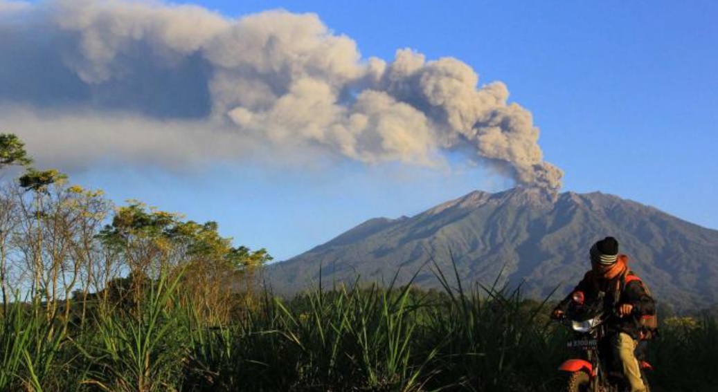
Alternative Route. Photo: Rhagil Putrha (googlemap - May 2020)
Hiking Trail Suitable For Expert
Statistics
- Elevation Gain
- 2626m
-
Total Distance
The value shown is the total ASCENDING distance
- 15.40km
-
Travel Time
This travel time is the time taken for the ASCENDING journey only and does not account for rest stops along the way or overnight stays
- 12.0hours
-
Calories
The value shown is the calories used for ASCENDING and DESCENDING journeys, excluding calories needed during rest stops along the hike or for overnight stays
- kcal
Map & route
View the route
Trail waypoints
Every point along the trail
-
01
Pos Pendakian
Elev 718 m -
02
Puncak Sejati
Elev 3344 m Duration 12.0 hours Calories 6,694 kcal -
See full segmentation
Elevation profile, distance & time for each segment
Weather Conditions
Forecast at official points
Pos Pendakian
718 m
Saturday
20 June · 13:00

Fog
23 °C
4.5 km/h
Sunday
21 June · 13:00
Fog
25 °C
6.8 km/h
Monday
22 June · 13:00
Fog
26 °C
11.7 km/h
ⓘ The weather conditions above are data from Open Meteo
See 7-day forecastInformation
Details you need to know
- Water sources on the Gunung Raung hiking trail via Kalibaru Wetan are available at several initial hiking points, but as you go higher, water sources become more limited, so hikers need to prepare sufficient water supplies from below for a comfortable hiking process (30-11-2025)
none at this time.
ⓘ Last updated on Selasa, 10 Maret 2026
Hiker Reviews
Stories from other hikers
0.0
0 Reviews
No Reviews Yet
Be the first to share your experience and review this hiking trail!
Error!
An error occurred while fetching reviews for this hiking trail.
Other routes