Bondowoso, Jatim
Raung via Sumberwringin
40 hikers viewed this trail in the last 7 days
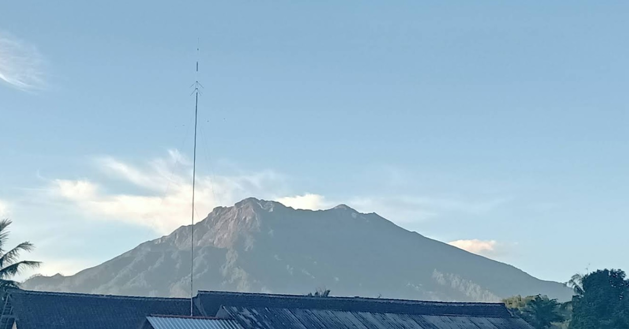
Jalur klasik Foto: Vovo Susatio (Tribuntravel.com - Agustus 2016)
Hiking Trail Suitable For Expert
Statistics
- Elevation Gain
- 1838m
-
Total Distance
The value shown is the total ASCENDING distance
- 10.31km
-
Travel Time
This travel time is the time taken for the ASCENDING journey only and does not account for rest stops along the way or overnight stays
- 7.6hours
-
Calories
The value shown is the calories used for ASCENDING and DESCENDING journeys, excluding calories needed during rest stops along the hike or for overnight stays
- kcal
Map & route
View the route
Trail waypoints
Every point along the trail
-
01
Titik Awal Perjalanan
Elev 1294 m -
02
Puncak Kawah
Elev 3132 m Duration 7.6 hours Calories 4,603 kcal -
See full segmentation
Elevation profile, distance & time for each segment
Weather Conditions
Forecast at official points
Titik Awal Perjalanan
1,294 m
Saturday
20 June · 13:00

Local Rain
19 °C
6.0 km/h
Sunday
21 June · 13:00
Local Rain
21 °C
7.1 km/h
Monday
22 June · 13:00
Local Rain
22 °C
7.2 km/h
ⓘ The weather conditions above are data from Open Meteo
See 7-day forecastInformation
Details you need to know
- tidak memiliki sumber air yang banyak di sepanjang jalur pendakian, terutama setelah melewati Pos 3. Pendaki disarankan untuk membawa persediaan air yang cukup atau memanfaatkan sumber air yang ada di pos-pos awal. (20-06-2025)
- Jalur pendakian Gunung Raung di Bondowoso ditutup sementara usai erupsi pada 5 Juni 2025 (08-06-2025)
ⓘ Last updated on Kamis, 13 November 2025
Hiker Reviews
Stories from other hikers
0.0
0 Reviews
No Reviews Yet
Be the first to share your experience and review this hiking trail!
Error!
An error occurred while fetching reviews for this hiking trail.
Other routes