Temanggung, Jateng
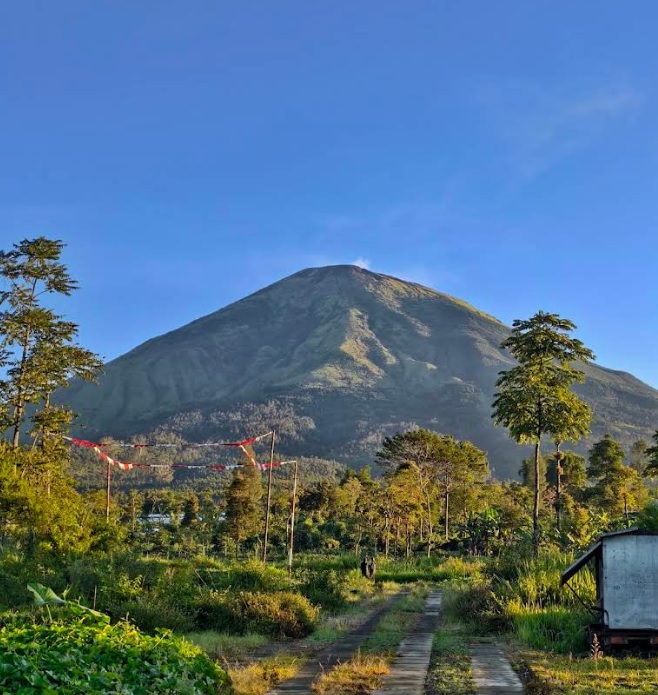
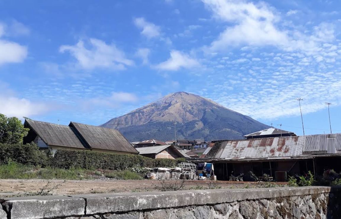
Mount Sindoro via Bansari
7 hikers viewed this trail in the last 7 days
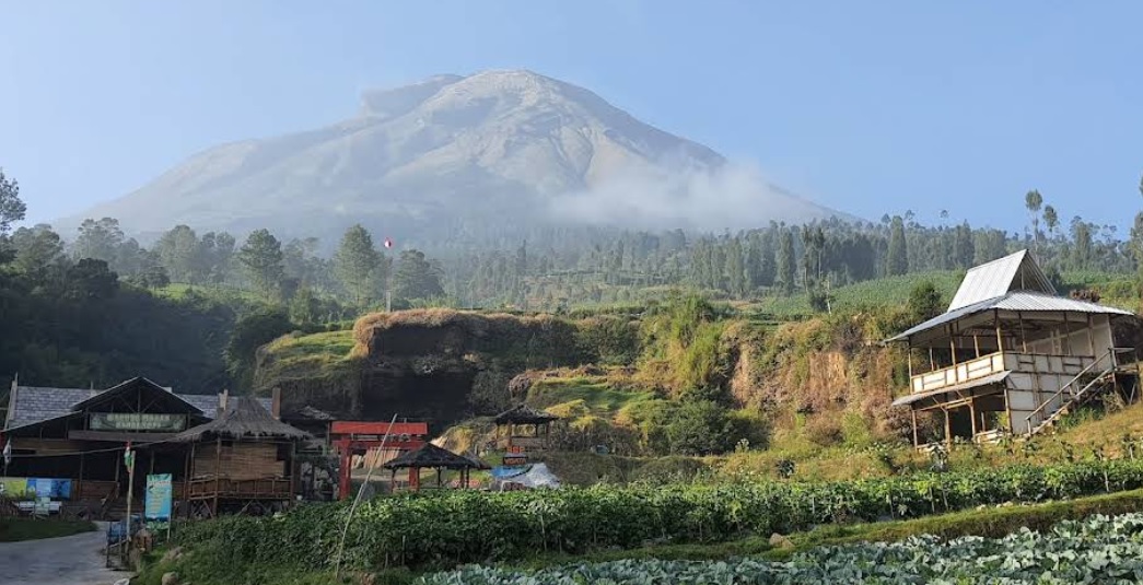
An alternative route. Photo: Base Camp (googlemap - August 2018)
Hiking Trail Suitable For Expert
Statistics
- Elevation Gain
- 1881m
-
Total Distance
The value shown is the total ASCENDING distance
- 7.23km
-
Travel Time
This travel time is the time taken for the ASCENDING journey only and does not account for rest stops along the way or overnight stays
- 6.5hours
-
Calories
The value shown is the calories used for ASCENDING and DESCENDING journeys, excluding calories needed during rest stops along the hike or for overnight stays
- kcal
Map & route
View the route
Trail waypoints
Every point along the trail
-
01
Embung Bansari
Elev 1183 m -
02
Puncak
Elev 3064 m Duration 6.5 hours Calories 4,301 kcal -
See full segmentation
Elevation profile, distance & time for each segment
Weather Conditions
Forecast at official points
Embung Bansari
1,183 m
Tuesday
21 July · 13:00

Cloudy
25 °C
3.7 km/h
Wednesday
22 July · 13:00
Cloudy
25 °C
4.6 km/h
Thursday
23 July · 13:00
Clear
24 °C
7.6 km/h
ⓘ The weather conditions above are data from Open Meteo
See 7-day forecastInformation
Details you need to know
- Water source on the Sindoro Mountain hiking trail via Bansari, there is a water source about 100 meters before Post 3 (Tunggangan), but during the dry season the water often dries up, so it's best to bring your own water supply, and you should also be careful when taking water after rain because the current is usually strong and slippery. (9-11-2025)
none at this time.
ⓘ Last updated on Senin, 9 Maret 2026
Hiker Reviews
Stories from other hikers
0%
recommend · 0 hikers
Weather forecast
—
No data yet
Trail info
—
No data yet
Water source
—
No data yet
No Reviews Yet
Be the first to share your experience and review this hiking trail!
Error!
An error occurred while fetching reviews for this hiking trail.
Other routes
Other routes on Mount Sindoro

212
100%
(10)
Popular
Kledung, Temanggung, Jateng
Mount Sindoro via Kledung
- Elev
- 3,146m
- Distance
- 3.5 km
- Duration
- 6.0 hours
14
100%
(1)
Reco, Wonosobo, Jateng
Mount Sindoro via Alang-alang Sewu
- Elev
- 3,146m
- Distance
- 8.1 km
- Duration
- 6.9 hours