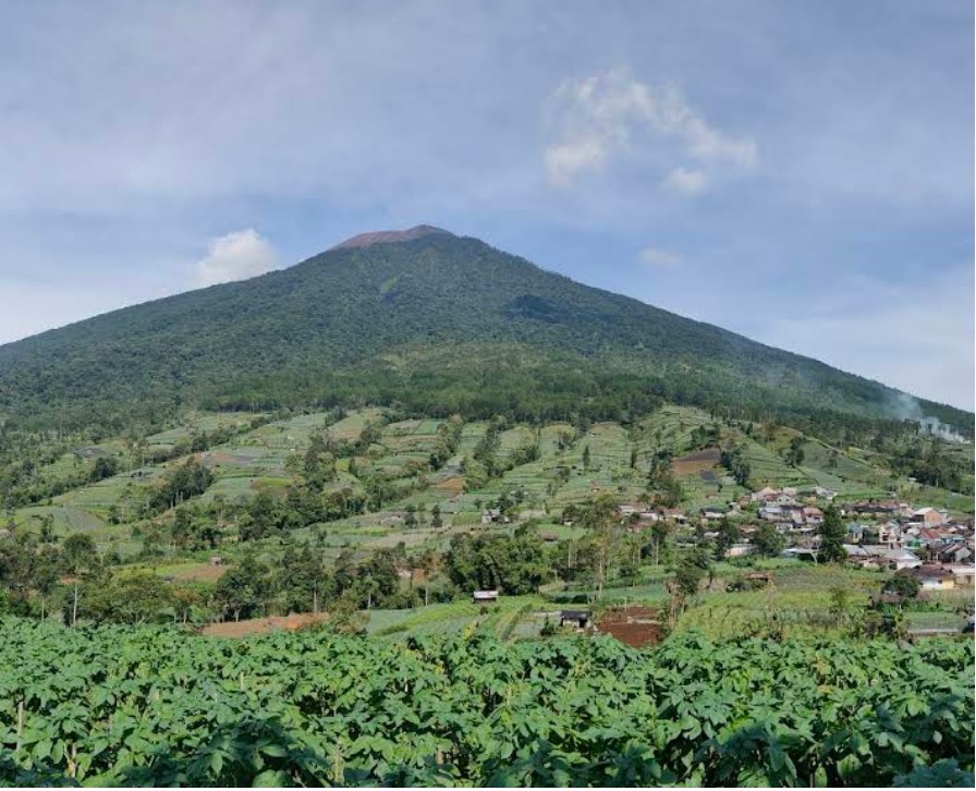
Pemalang, Jateng
Slamet via Jurangmangu
5 hikers viewed this trail in the last 7 days
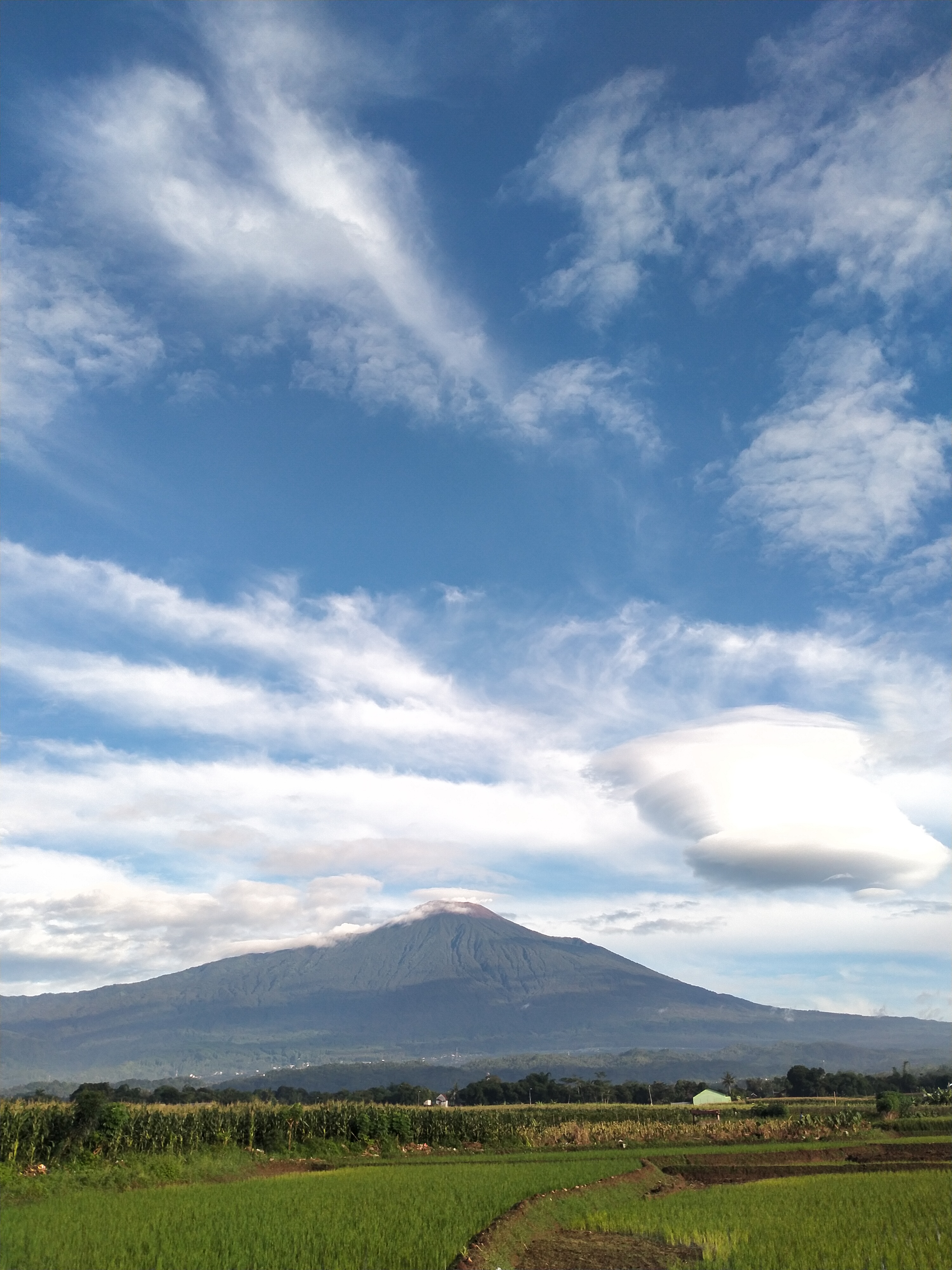
Alternative Route. Photo: Affip Widyasmoro (googlemap - July 2019)
Hiking Trail Suitable For Expert
Statistics
- Elevation Gain
- 2233m
-
Total Distance
The value shown is the total ASCENDING distance
- 7.92km
-
Travel Time
This travel time is the time taken for the ASCENDING journey only and does not account for rest stops along the way or overnight stays
- 8.9hours
-
Calories
The value shown is the calories used for ASCENDING and DESCENDING journeys, excluding calories needed during rest stops along the hike or for overnight stays
- kcal
Map & route
View the route
Trail waypoints
Every point along the trail
-
01
Basecamp
Elev 1132 m -
02
Puncak
Elev 3365 m Duration 8.9 hours Calories 5,538 kcal -
See full segmentation
Elevation profile, distance & time for each segment
Weather Conditions
Forecast at official points
Basecamp
1,132 m
Tuesday
16 June · 13:00

Light Rain
23 °C
11.0 km/h
Wednesday
17 June · 13:00

Local Rain
21 °C
10.8 km/h
Thursday
18 June · 13:00
Light Rain
21 °C
7.6 km/h
ⓘ The weather conditions above are data from Open Meteo
See 7-day forecastInformation
Details you need to know
- There is no water source available along the hiking trail of Mount Slamet via Jurang Mangu, so hikers are required to bring sufficient water supplies for a comfortable hike.
- The Mount Slamet hike is officially closed starting Sunday, April 5, 2026, following a significant increase in crater temperature, which is considered to have the potential to trigger an eruption (05-04-2026)
none at this time
ⓘ Last updated on Minggu, 5 April 2026
Hiker Reviews
Stories from other hikers
0.0
0 Reviews
No Reviews Yet
Be the first to share your experience and review this hiking trail!
Error!
An error occurred while fetching reviews for this hiking trail.
Other routes
Other routes on Slamet

146
5.0
(5)
Popular
Kutabawa, Purbalingga, Jateng
Slamet via Bambangan
- Elev
- 3,432m
- Distance
- 6.2 km
- Duration
- 6.8 hours

19
5.0
(5)
Ketenger, Banyumas, Jateng
Slamet via Baturraden
- Elev
- 3,432m
- Distance
- 7.6 km
- Duration
- 9.3 hours
67
5.0
(4)
Fairly busy
Guci, Tegal, Jateng
Slamet via Guci
- Elev
- 3,432m
- Distance
- 10.0 km
- Duration
- 6.4 hours
10
Karangreja, Purbalingga, Jateng
Slamet via Mount Malang
- Elev
- 3,432m
- Distance
- 6.7 km
- Duration
- 7.3 hours