Banyumas, Jateng
Slamet via Baturraden
Fairly busy
Trending
65 hikers viewed this trail in the last 7 days
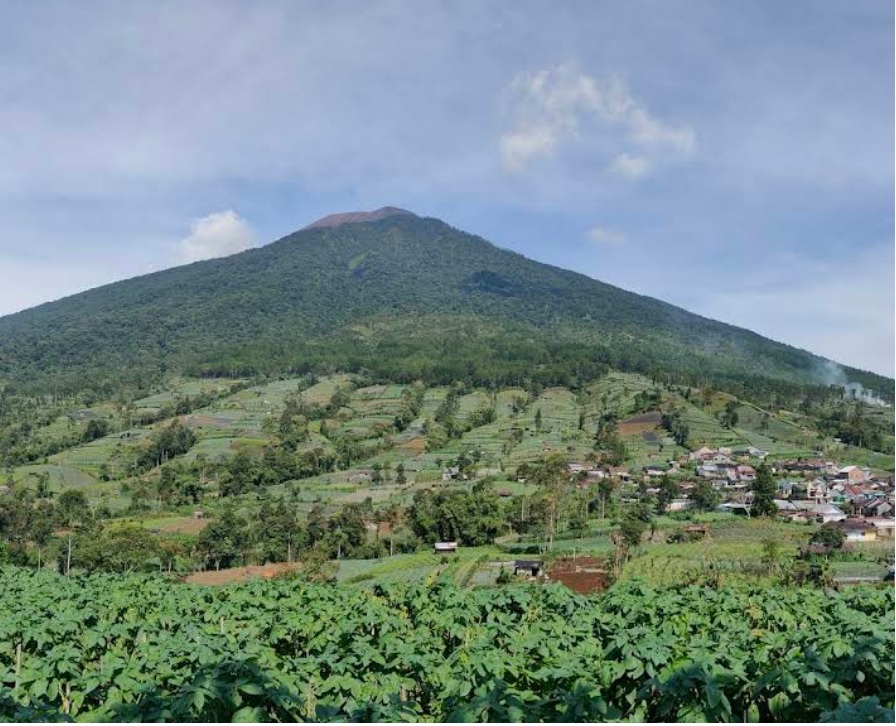
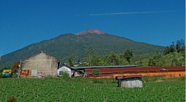
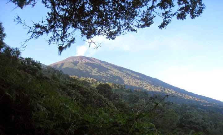
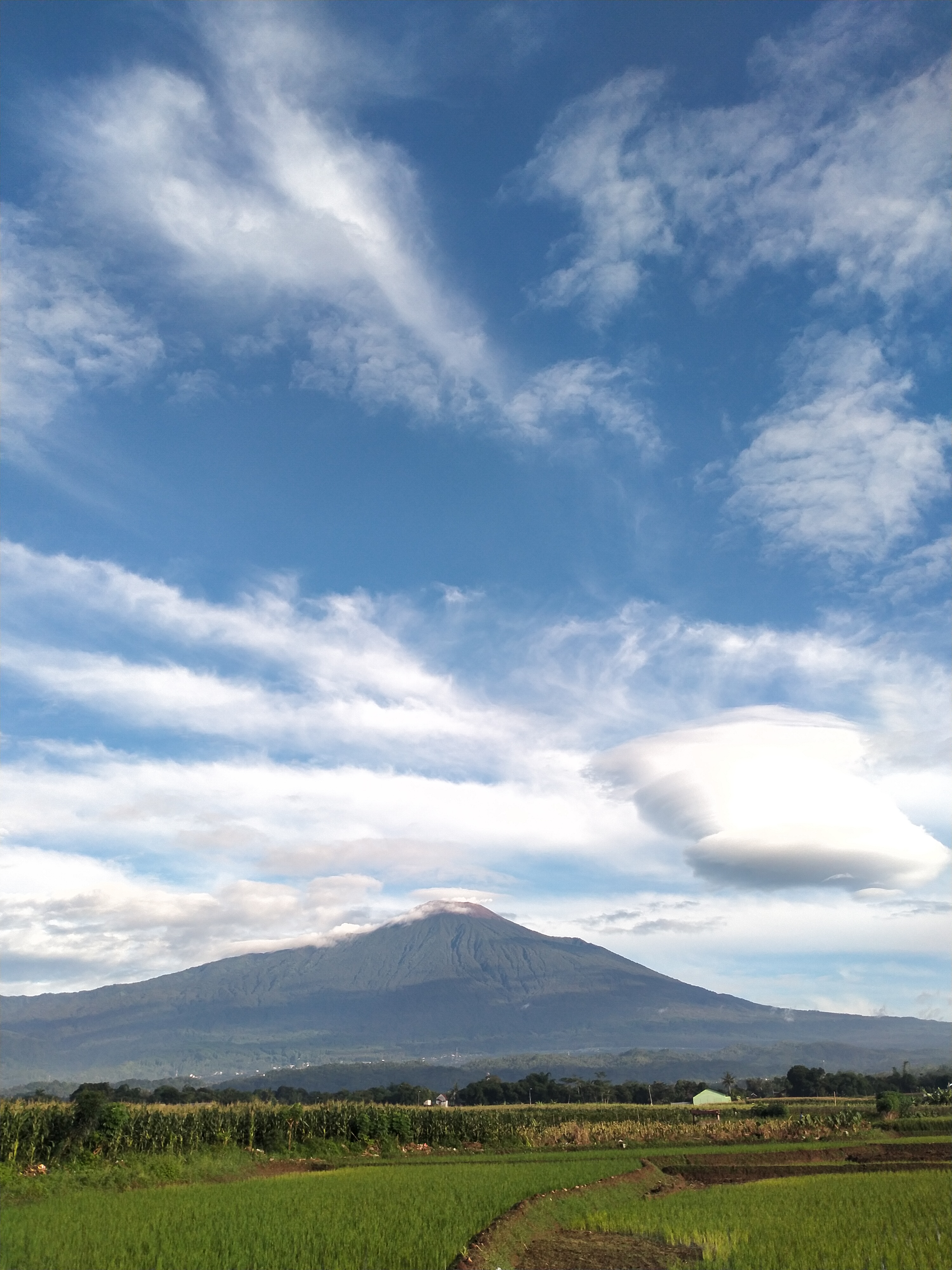
The Baturaden hiking trail on Mount Slamet offers a challenging hiking experience with a trail length of approximately 8 km and an estimated hiking time of 10-12 hours to the summit, depending on the hiker's speed. Starting from an altitude of around 650 meters above sea level in the Baturaden tourist area, this trail takes hikers through dense tropical rainforests, natural vegetation, and diverse wildlife. The terrain is steep with sharp inclines reaching a slope of 40-60 degrees at several points, especially near the summit at an altitude of 3,428 meters above sea level, making it suitable for experienced hikers. The pristine condition of this trail, which is relatively less traveled, provides an exclusive atmosphere, while the summit offers a spectacular view of Central Java, including rolling clouds and surrounding mountains.
Hiking Trail Suitable For Expert
Statistics
- Elevation Gain
- 2504m
-
Total Distance
The value shown is the total ASCENDING distance
- 7.61km
-
Travel Time
This travel time is the time taken for the ASCENDING journey only and does not account for rest stops along the way or overnight stays
- 9.3hours
-
Calories
The value shown is the calories used for ASCENDING and DESCENDING journeys, excluding calories needed during rest stops along the hike or for overnight stays
- kcal
Map & route
View the route
Trail waypoints
Every point along the trail
-
01
Basecamp
Elev 896 m -
02
Puncak
Elev 3400 m Duration 9.3 hours Calories 6,066 kcal -
See full segmentation
Elevation profile, distance & time for each segment
Weather Conditions
Forecast at official points
Basecamp
896 m
Tuesday
21 July · 13:00

Cloudy
24 °C
10.0 km/h
Wednesday
22 July · 13:00

Fog
22 °C
10.8 km/h
Thursday
23 July · 13:00

Light Rain
20 °C
13.2 km/h
ⓘ The weather conditions above are data from Open Meteo
See 7-day forecastInformation
Details you need to know
- Hikers need to arrange for permits at the Baturaden base camp. Using the services of a local guide is highly recommended, especially since this trail is less popular and has minimal signage.
- The last water source on the Mount Slamet hiking trail via Baturaden is usually found around Post 2 or Post 3, depending on the season and rainfall. During the dry season, the water source often decreases or even dries up, so hikers are advised to fill up their water supply at these posts.
- The weather on this trail can change quickly, with potential thick fog and rain that makes the trail slippery. Make sure to bring waterproof clothing and adequate hiking gear.
- The entire Mount Slamet hiking trail is temporarily closed following a landslide and flash flood (28-01-2026)
- This trail has steep terrain and minimal signage, making getting lost a significant risk. Always hike in a group or with a local guide.
- Building campfires is strictly prohibited due to the high risk of forest fires, especially during the dry season. Use portable cooking equipment if necessary.
- All trash must be carried back down. Mount Slamet is a conservation area, and leaving trash damages the ecosystem and the beauty of the trail.
ⓘ Last updated on Jumat, 3 Juli 2026
Hiker Reviews
Stories from other hikers
100%
recommend · 5 hikers
Weather forecast
—
No data yet
Trail info
—
No data yet
Water source
—
No data yet
No Reviews Yet
Be the first to share your experience and review this hiking trail!
Error!
An error occurred while fetching reviews for this hiking trail.
Other routes
Other routes on Slamet

182
100%
(5)
Popular
Kutabawa, Purbalingga, Jateng
Slamet via Bambangan
- Elev
- 3,432m
- Distance
- 6.2 km
- Duration
- 6.8 hours
93
100%
(4)
Fairly busy
Guci, Tegal, Jateng
Slamet via Guci
- Elev
- 3,432m
- Distance
- 10.0 km
- Duration
- 6.4 hours