Wonosobo, Jateng
Sumbing via Garung
Fairly busy
117 hikers viewed this trail in the last 7 days
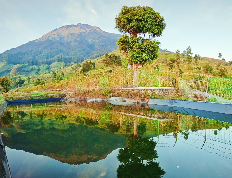
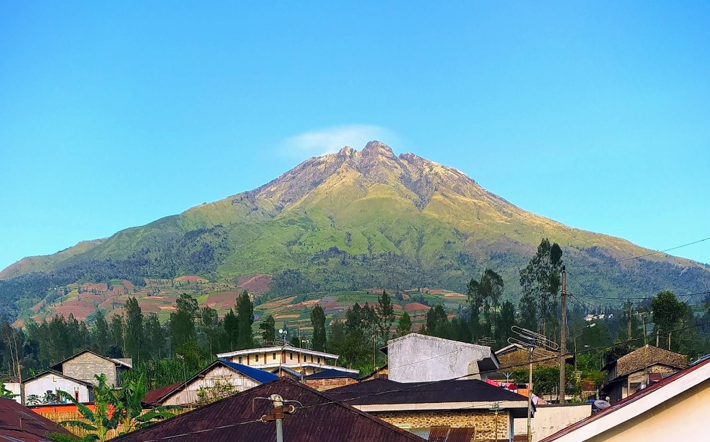
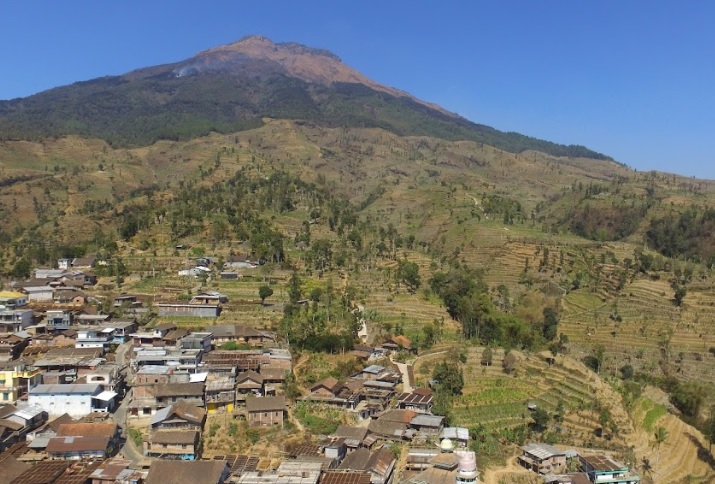
Mount Sumbing, one of the highest mountains in Java with an altitude of around 3,371 meters above sea level. This route becomes a favorite because of its relatively easy access and beautiful scenery. Garung Basecamp, located at an altitude of around 1,500 meters above sea level, has complete facilities such as bathrooms, rest areas, and food stalls. Usually, climbers register and prepare logistics here.
Hiking Trail Suitable For Expert
Statistics
- Elevation Gain
- 1365m
-
Total Distance
The value shown is the total ASCENDING distance
- 4.23km
-
Travel Time
This travel time is the time taken for the ASCENDING journey only and does not account for rest stops along the way or overnight stays
- 7.8hours
-
Calories
The value shown is the calories used for ASCENDING and DESCENDING journeys, excluding calories needed during rest stops along the hike or for overnight stays
- kcal
Map & route
View the route
Trail waypoints
Every point along the trail
-
01
Basecamp
Elev 1953 m -
02
Pos 3 (Pondok Seng)
Terdapat sumber air
Elev 2807 m Duration 4.3 hours Calories 2,324 kcal -
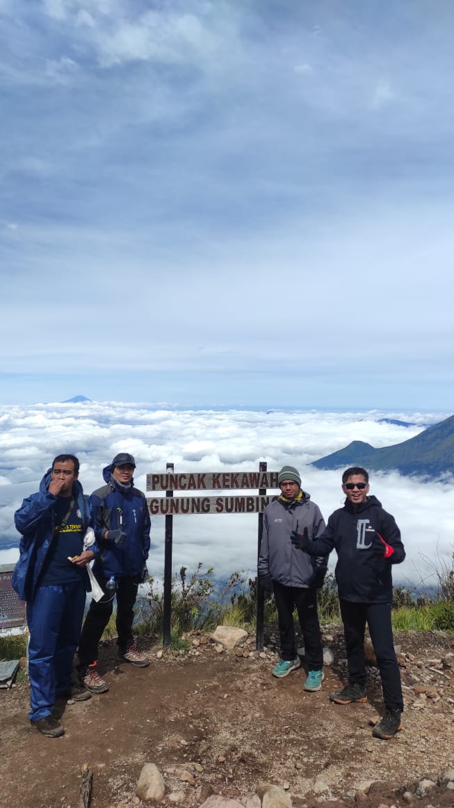
03
Puncak
Elev 3318 m Duration 7.8 hours Calories 3,991 kcal -
See full segmentation
Elevation profile, distance & time for each segment
Weather Conditions
Forecast at official points
Basecamp
1,953 m
Tuesday
21 July · 13:00

Cloudy
20 °C
10.3 km/h
Wednesday
22 July · 13:00

Partly Cloudy
19 °C
8.3 km/h
Thursday
23 July · 13:00

Fog
17 °C
8.5 km/h
ⓘ The weather conditions above are data from Open Meteo
See 7-day forecastInformation
Details you need to know
- Hiking trail status: OPEN (21-01-25)
- As of today, there is no new information about hiking and volcanic activities through this route (21-01-25)
- There are ojek (motorcycle taxis) from the Basecamp to the vegetation boundary.
- After Post 2, the route becomes very steep, requiring good stamina.
- In the area approaching the summit, the terrain is sandy and slippery, so climbers must be careful.
- Water and basic toilets are available at Post 3.
- A water source is located near Post 1, about 100 meters behind the ojek post. However, please note that this water source may dry up during the dry season, so bring enough water for a comfortable hike. (15-07-2025)
- As of today, there are no new prohibitions related to hiking and volcanic activities through this route (21-01-25).
- The Garung route has steep and heavy terrain, so climbers are required to start hiking before 12:00 PM from the Basecamp.
- Since the Garung route passes through tobacco fields owned by local residents, climbers are prohibited from taking or carrying tobacco found along the route without permission.
- This route provides local porter services, and climbers are advised to use their services to reduce the load and provide economic benefits to local residents.
- Climbers who want to approach the crater in the summit area must report to the basecamp manager first. This is done to monitor crater activity, which sometimes releases toxic gases.
ⓘ Last updated on Jumat, 3 Juli 2026
Hiker Reviews
Stories from other hikers
100%
recommend · 4 hikers
Weather forecast
100%
accurate
Trail info
100%
matched
Water source
0%
plenty · last 30 days
Highlights · last 30 days
🏔️ Great views (1)
🥾 Beginner friendly (1)
🧭 Easy to follow (1)
🏕️ Comfortable campsite (1)
✨ Clean (1)
No Reviews Yet
Be the first to share your experience and review this hiking trail!
Error!
An error occurred while fetching reviews for this hiking trail.
Other routes
Other routes on Sumbing

45
100%
(1)
Butuh, Temanggung, Jateng
Sumbing via Butuh-Kaliangkrik
- Elev
- 3,371m
- Distance
- 6.6 km
- Duration
- 6.1 hours
42
100%
(1)
Banaran, Temanggung, Jateng
Sumbing via Banaran
- Elev
- 3,371m
- Distance
- 8.2 km
- Duration
- 8.2 hours