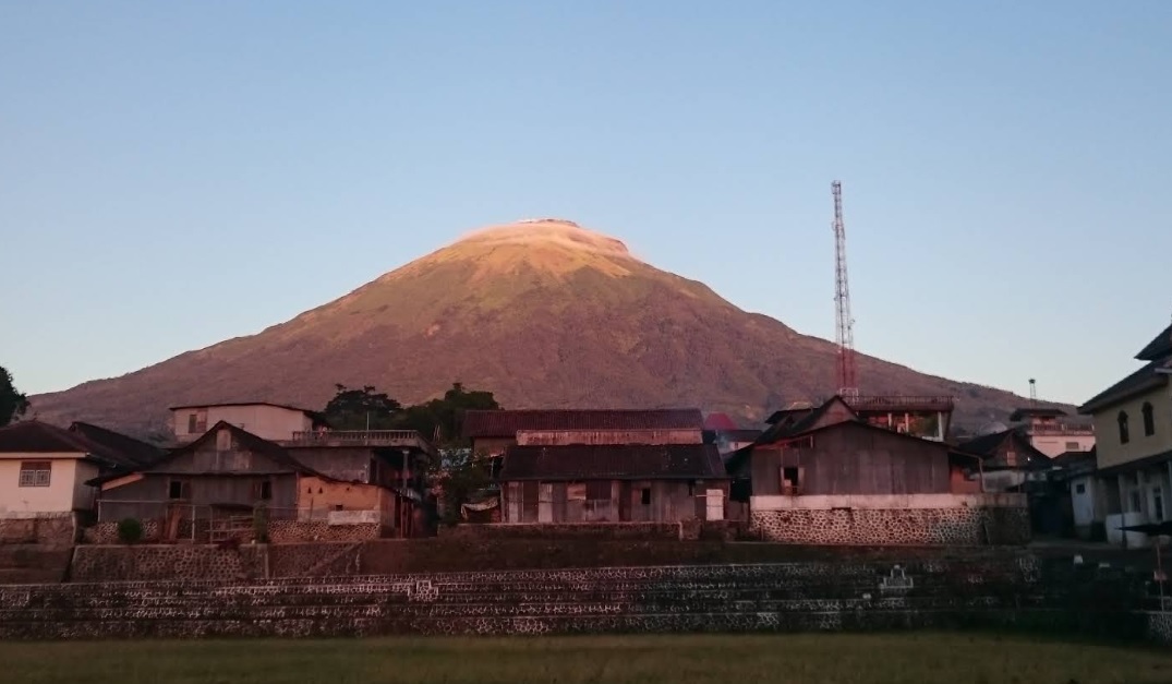
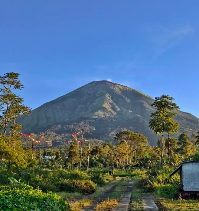
Temanggung, Jateng
Mount Sindoro via Kledung
Popular
183 hikers viewed this trail in the last 7 days
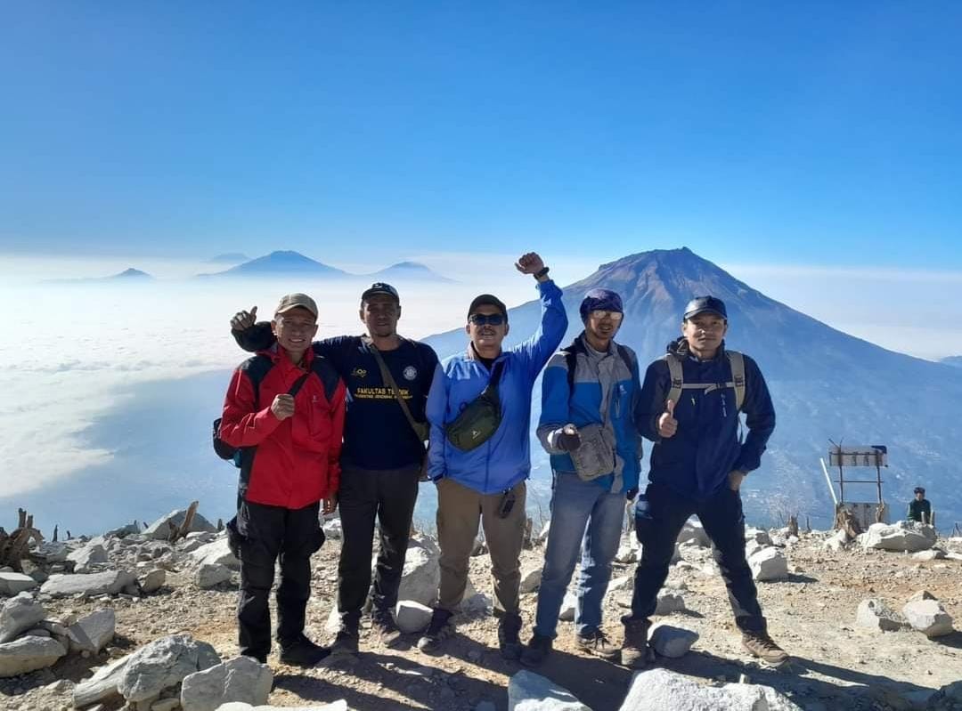
The hiking trail via Kledung Basecamp is one of the most popular and frequently used routes to climb Mount Sindoro. The basecamp is located in Kledung Village, situated at the border between Temanggung and Wonosobo Regencies, Central Java. This trail is managed by GRASINSDO (Gabungan Remaja Anak Sindoro) in collaboration with Perhutani and the Kledung Village Government.\n\nThis trail runs along the southeastern slope, making it the most ideal location for watching the sunrise. The beautiful scenery along the journey, formed by the landscapes of Mount Ungaran, Merbabu, Merapi, and Lawu, makes it a favorite choice for many hikers, especially due to its location on the edge of the Wonosobo-Temanggung highway.\n\nHiking via the Kledung trail usually takes about 8-10 hours, depending on the speed and physical condition of the hiker.
Hiking Trail Suitable For Recreational
Moderate to high altitude (2,500–3,500 masl) with moderate elevation gain (500–1,500 m), medium trail length (5–10 km; 4–10 hours), moderate to steep slopes (16–25°).
Derived from
3.45 km · 1355 m · 3,146 masl · 36.1° · 11.9 hours round trip
Statistics
- Elevation Gain
- 1355m
-
Total Distance
The value shown is the total ASCENDING distance
- 3.45km
-
Travel Time
This travel time is the time taken for the ASCENDING journey only and does not account for rest stops along the way or overnight stays. The difficulty level is derived from the round-trip time, which is twice this value
- 6.0hours
-
Calories
The value shown is the calories used for ASCENDING and DESCENDING journeys, excluding calories needed during rest stops along the hike or for overnight stays
- kcal
- Altitude
- 3,146masl
-
Steepness
Trail steepness is taken at the 95th percentile across all segments, with very short segments discarded so GPS noise does not overstate the value
- 36.1°C3
Map & route
View the route
Trail waypoints
Every point along the trail
-
01
Ojek Post 1
Gathering point for hikers before starting the journey
Elev 1791 m -
02
Sunrise Camp
Sunrise Camp adalah lokasi berkemah yang terkenal di kalangan pendaki karena pemandangannya yang memukau saat matahari terbit.
Elev 2411 m Duration 2.3 hours Calories 1,514 kcal -
03
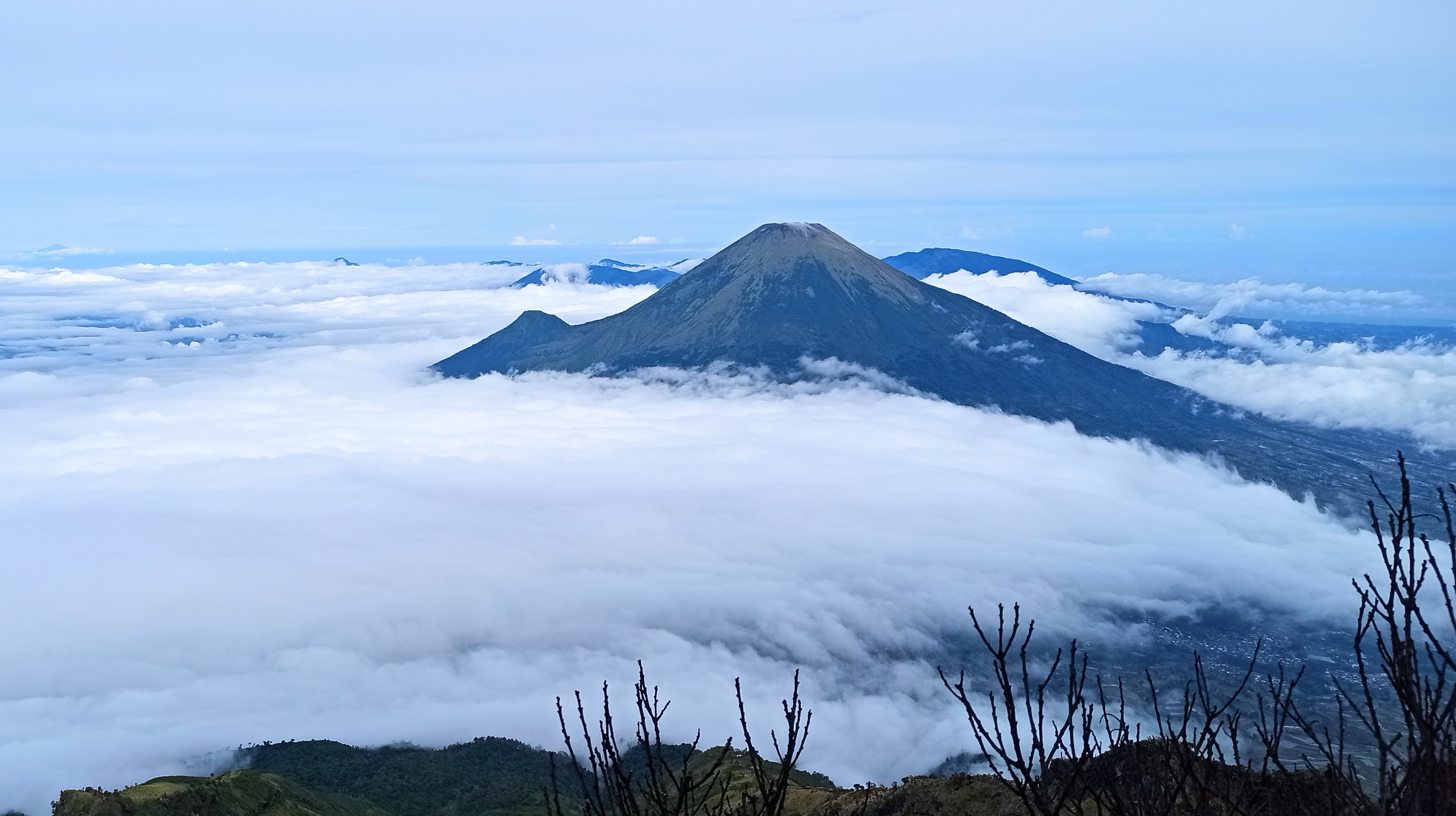
Summit
The summit of Mount Sindoro via Kledung
Elev 3146 m Duration 6.0 hours Calories 3,569 kcal -
See full segmentation
Elevation profile, distance & time for each segment
Weather Conditions
Forecast at official points
Pos Ojek 1
1,791 m
Sunday
20 September · 13:00

Light Rain
21 °C
5.4 km/h
Monday
21 September · 13:00

Fog
21 °C
5.3 km/h
Tuesday
22 September · 13:00
Light Rain
21 °C
5.4 km/h
ⓘ The weather conditions above are data from Open Meteo
See 7-day forecastInformation
Details you need to know
- Trail status: OPEN (22-01-25)
- As of today, there is no new information about hiking and volcanic activity on this trail (22-01-25)
- Water sources are only available at Post 1 (±1,800 masl), so hikers are advised to carry 3–4 liters of water per person.
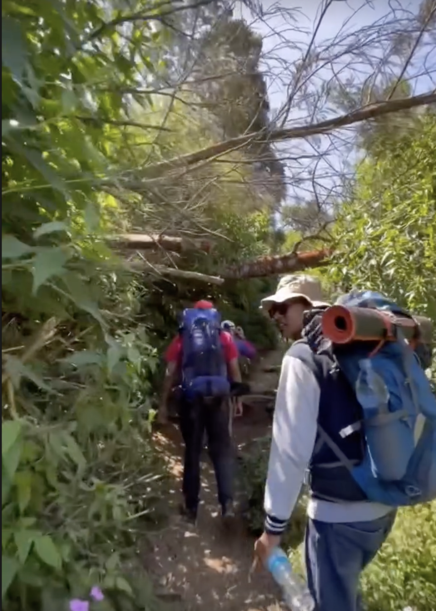
- The trail varies, from shaded tropical forest at the beginning to sandy and rocky terrain near the summit.
- Prepare physically, bring proper equipment, and schedule an early morning hike to avoid thick fog in the afternoon.
- There are food stalls at Post 1 ojek and Post 2 that are regularly open even on weekdays.
- Food stalls at Post 3 are generally open only on weekends.
- As of today, there are no new restrictions related to hiking and volcanic activity on this trail (22-01-25).
- Wet wipes are prohibited.
- Hikers doing direct (non-overnight) hikes must bring a full meal.
- Do not leave food scraps openly at Sunrise Camp to avoid attracting wild boars.
ⓘ Last updated on Jumat, 3 Juli 2026
Hiker Reviews
Stories from other hikers

100%
recommend · 10 hikers
Weather forecast
—
No data yet
Trail info
—
No data yet
Water source
—
No data yet
No Reviews Yet
Be the first to share your experience and review this hiking trail!
Error!
An error occurred while fetching reviews for this hiking trail.
Other routes
Other routes on Mount Sindoro
19
100%
(1)
Reco, Wonosobo, Jateng
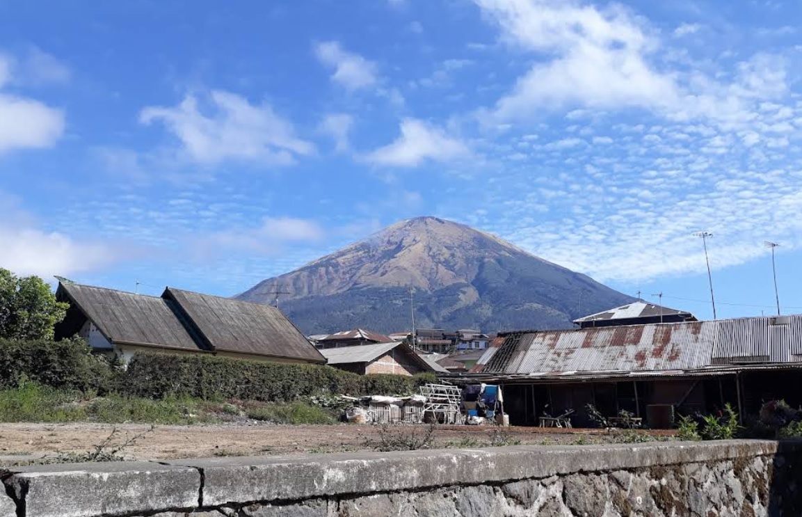
Mount Sindoro via Alang-alang Sewu
- Elev
- 3,146m
- Distance
- 8.1 km
- Duration
- 6.9 hours
34
Sigedang, Wonosobo, Jateng
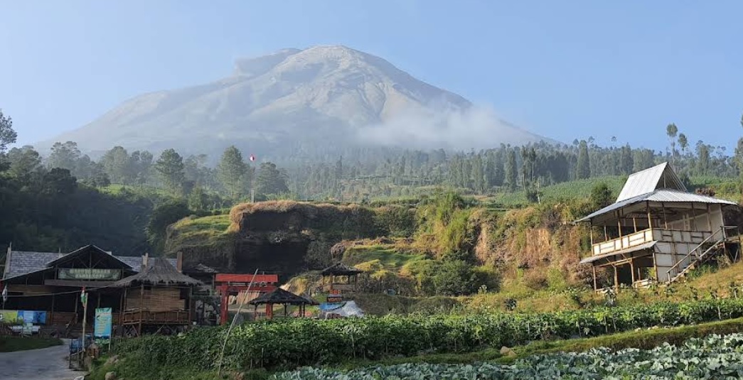
Mount Sindoro via Sigedang
- Elev
- 3,146m
- Distance
- 6.1 km
- Duration
- 6.0 hours