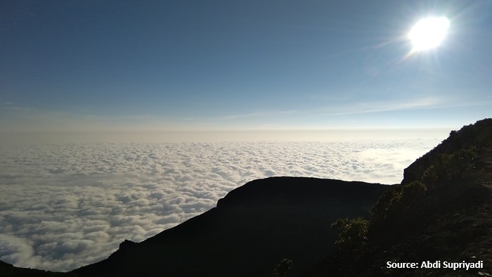
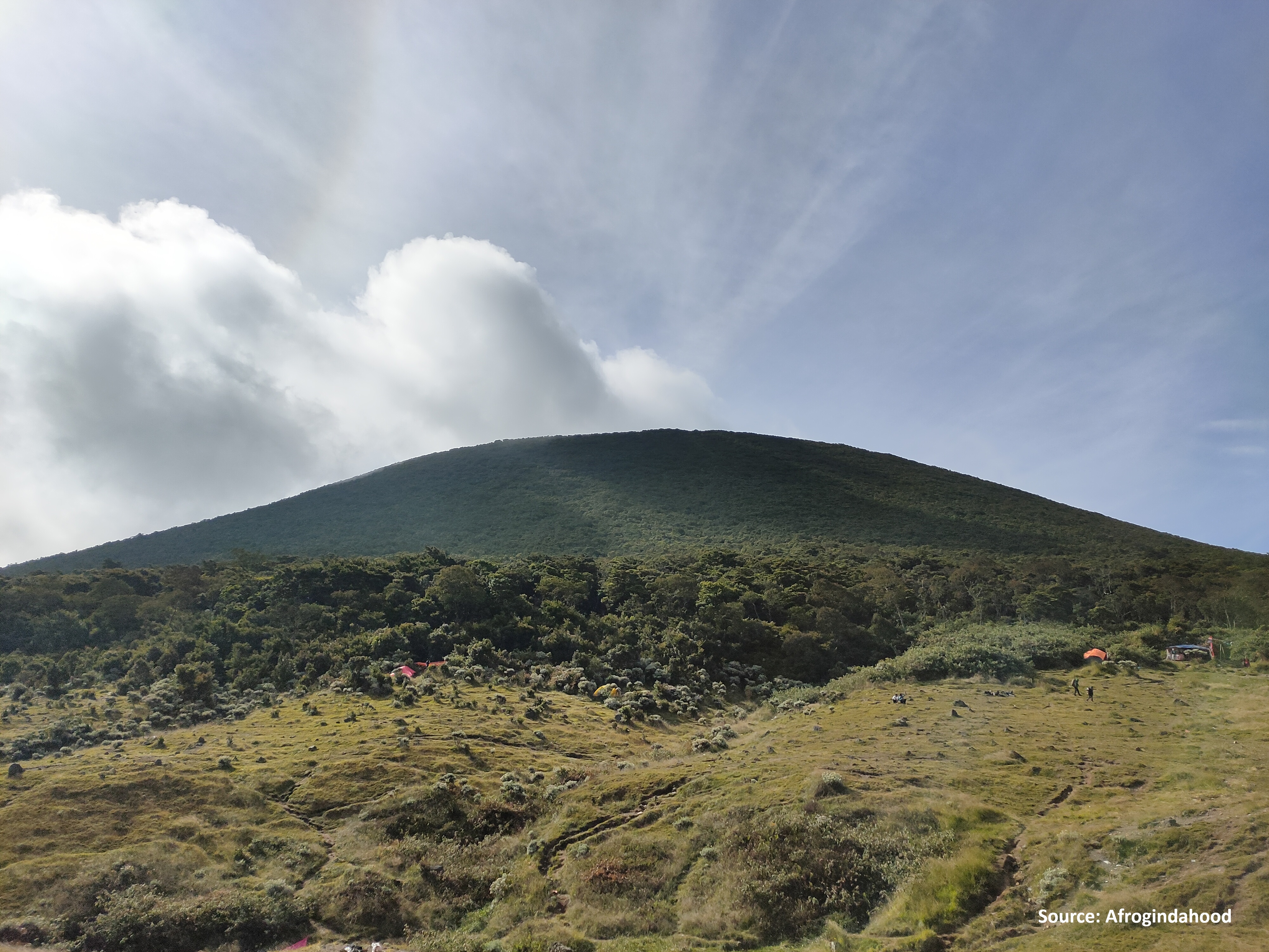
Cianjur, Jabar
Gede via Cibodas
Trending
47 hikers viewed this trail in the last 7 days
Hiking Trail Suitable For Intermediate
Statistics
- Elevation Gain
- 1600m
-
Total Distance
The value shown is the total ASCENDING distance
- 9.38km
-
Travel Time
This travel time is the time taken for the ASCENDING journey only and does not account for rest stops along the way or overnight stays
- 5.3hours
-
Calories
The value shown is the calories used for ASCENDING and DESCENDING journeys, excluding calories needed during rest stops along the hike or for overnight stays
- kcal
Map & route
View the route
Trail waypoints
Every point along the trail
-
01
Basecamp
Elev 1317 m -
02
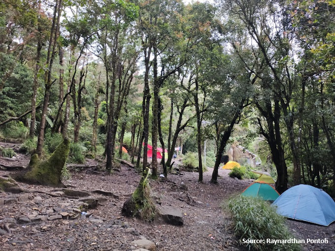
Camp Kandang Badak
Elev 2417 m Duration 3.6 hours Calories 2,376 kcal -
03
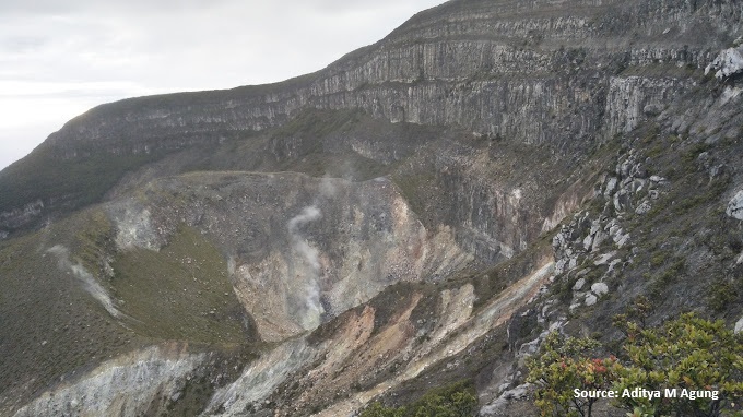
Summit
Elev 2917 m Duration 5.3 hours Calories 3,519 kcal -
See full segmentation
Elevation profile, distance & time for each segment
Weather Conditions
Forecast at official points
Basecamp
1,317 m
Tuesday
21 July · 13:00

Light Rain
21 °C
3.1 km/h
Wednesday
22 July · 13:00

Local Rain
21 °C
1.5 km/h
Thursday
23 July · 13:00
Local Rain
21 °C
3.6 km/h
ⓘ The weather conditions above are data from Open Meteo
See 7-day forecastInformation
Details you need to know
- Increased volcanic seismicity in Mount Gede Pangrango is closed extended until April 13, 2025 (04-10-2025)
- Water sources on the Cibodas hiking trail to Mount Gede are limited. Hikers are advised to bring sufficient water supplies (19-06-2025)
- Hiking in Mount Gede Pangrango is closed from Monday (13-10-2025) until further notice. BBTNGGP will announce the reopening of hiking in Mount Gede Pangrango after the trash cleaning process is completed. (12-10-2025)
- There is an increase in volcanic activity
ⓘ Last updated on Jumat, 3 Juli 2026
Hiker Reviews
Stories from other hikers
100%
recommend · 1 hikers
Weather forecast
—
No data yet
Trail info
—
No data yet
Water source
—
No data yet
No Reviews Yet
Be the first to share your experience and review this hiking trail!
Error!
An error occurred while fetching reviews for this hiking trail.
Other routes