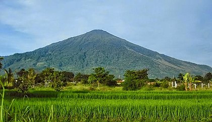
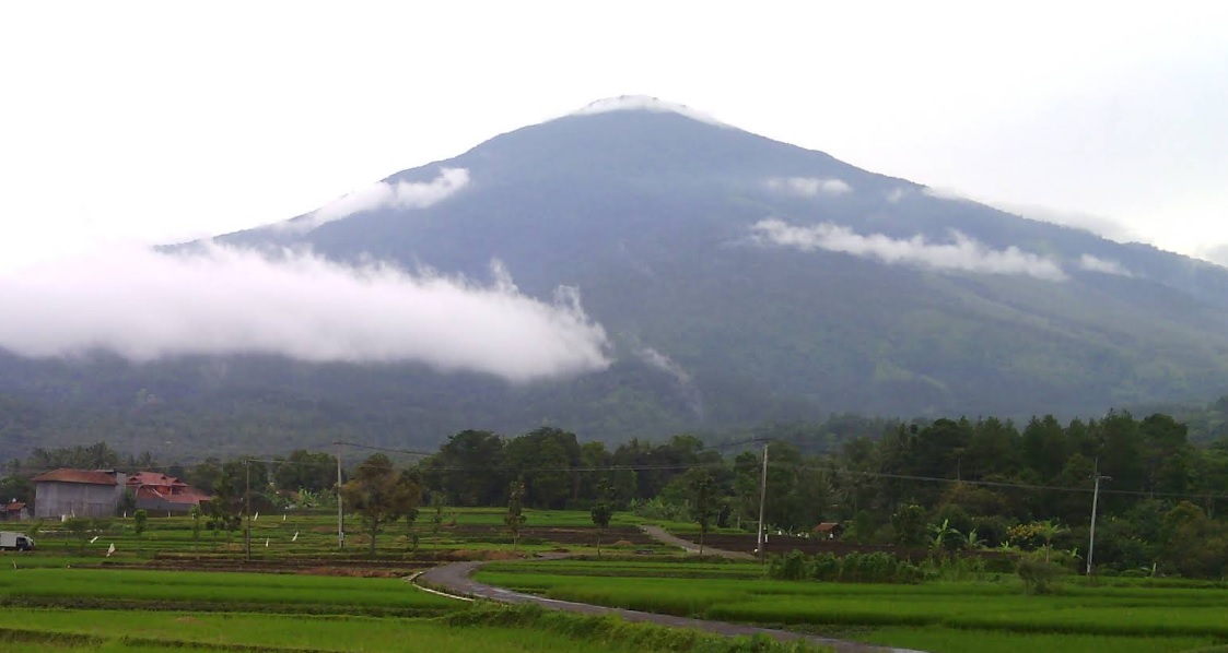
Kuningan, Jabar
Ciremai via Palutungan
54 hikers viewed this trail in the last 7 days
Foto: Muhammad Rifki Nurdiansyah (googlemap - Agustus 2024)
Hiking Trail Suitable For Expert
Statistics
- Elevation Gain
- 1962m
-
Total Distance
The value shown is the total ASCENDING distance
- 10.11km
-
Travel Time
This travel time is the time taken for the ASCENDING journey only and does not account for rest stops along the way or overnight stays
- 10.0hours
-
Calories
The value shown is the calories used for ASCENDING and DESCENDING journeys, excluding calories needed during rest stops along the hike or for overnight stays
- kcal
Map & route
View the route
Trail waypoints
Every point along the trail
-
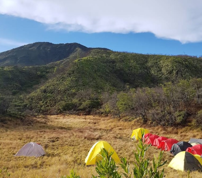
01
Palutungan
Jalur alternatif
Elev 1108 m -
02
Puncak
Elev 3070 m Duration 10.0 hours Calories 5,255 kcal -
See full segmentation
Elevation profile, distance & time for each segment
Weather Conditions
Forecast at official points
Palutungan
1,108 m
Sunday
21 June · 13:00

Light Rain
23 °C
4.1 km/h
Monday
22 June · 13:00
Light Rain
22 °C
6.1 km/h
Tuesday
23 June · 13:00

Fog
24 °C
7.1 km/h
ⓘ The weather conditions above are data from Open Meteo
See 7-day forecastInformation
Details you need to know
- Beberapa sumber menyebutkan bahwa Sumber air utama di jalur pendakian Gunung Ciremai via Palutungan berada di Pos Cigowong, yang merupakan pos pertama setelah melewati basecamp Palutungan. Setelah melewati Pos Cigowong, tidak ada lagi sumber air hingga ke puncak, jadi disarankan untuk mengisi persediaan air di pos ini. (01-07-2025)
none at this time
ⓘ Last updated on Sabtu, 2 Agustus 2025
Hiker Reviews
Stories from other hikers
0.0
0 Reviews
No Reviews Yet
Be the first to share your experience and review this hiking trail!
Error!
An error occurred while fetching reviews for this hiking trail.
Other routes
Other routes on Ciremai
165
Popular
Argamukti, Majalengka, Jabar
Ciremai via Apuy
- Elev
- 3,078m
- Distance
- 9.0 km
- Duration
- 5.6 hours
27
Linggarjati, Kuningan, Jabar
Ciremai via Linggarjati
- Elev
- 3,078m
- Distance
- 9.9 km
- Duration
- 12.1 hours
59
Payung, Majalengka, Jabar
Ciremai via Sadarehe
- Elev
- 3,078m
- Distance
- 6.9 km
- Duration
- 6.2 hours