Plan your hike, before you go.
Providing integrated information for hikers who want ease in planning mountain climbing and mountain exploration in Indonesia and abroad
Hiking Trails
Showing 12 of 163 trails
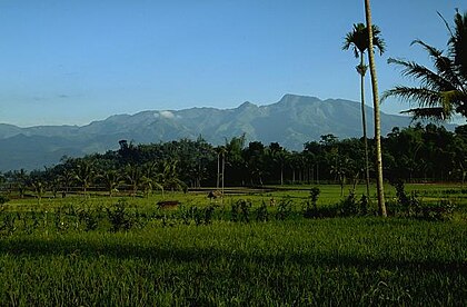
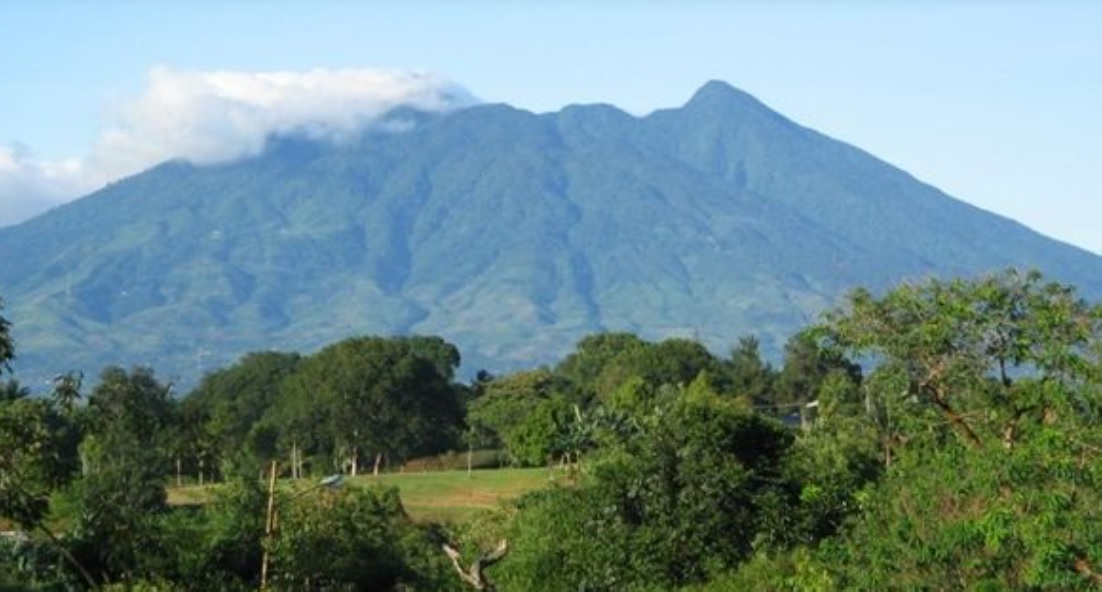
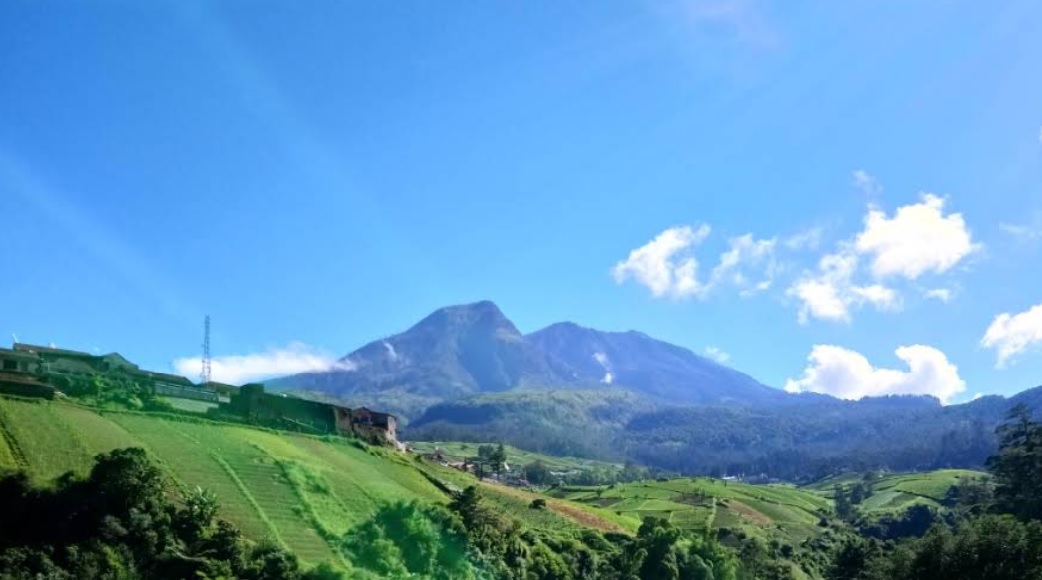
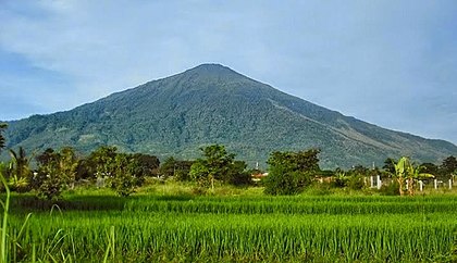
Bermi, Probolinggo, Jatim
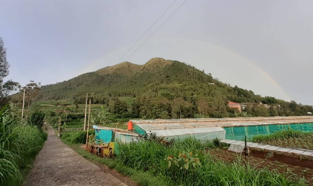
Argopuro via Bremi (Bermi)
- Elev
- 3,088m
- Distance
- 19.2 km
- Duration
- 11.6 hours
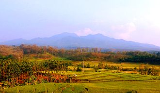
Bajulan, Nganjuk, Jatim
Wilis via Bajulan (Jolotundo)
- Elev
- 2,563m
- Distance
- 9.2 km
- Duration
- 5.8 hours
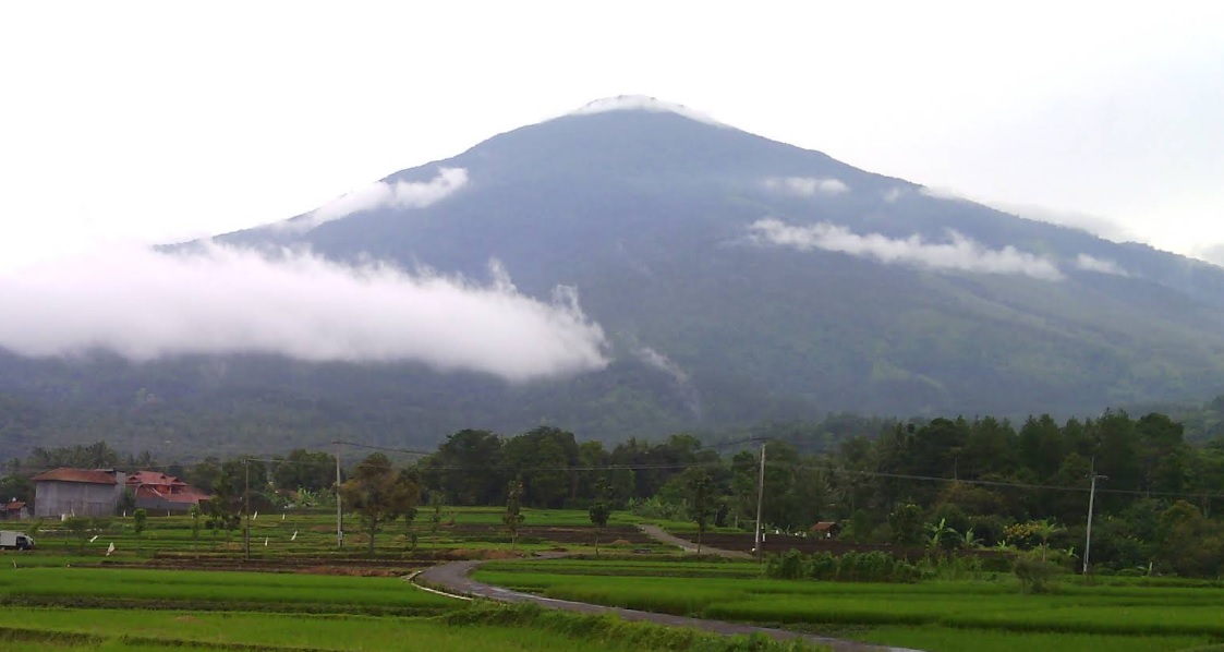
Kenalan, Magelang, Jateng
Merbabu via Wekas
- Elev
- 3,145m
- Distance
- 5.6 km
- Duration
- 5.2 hours
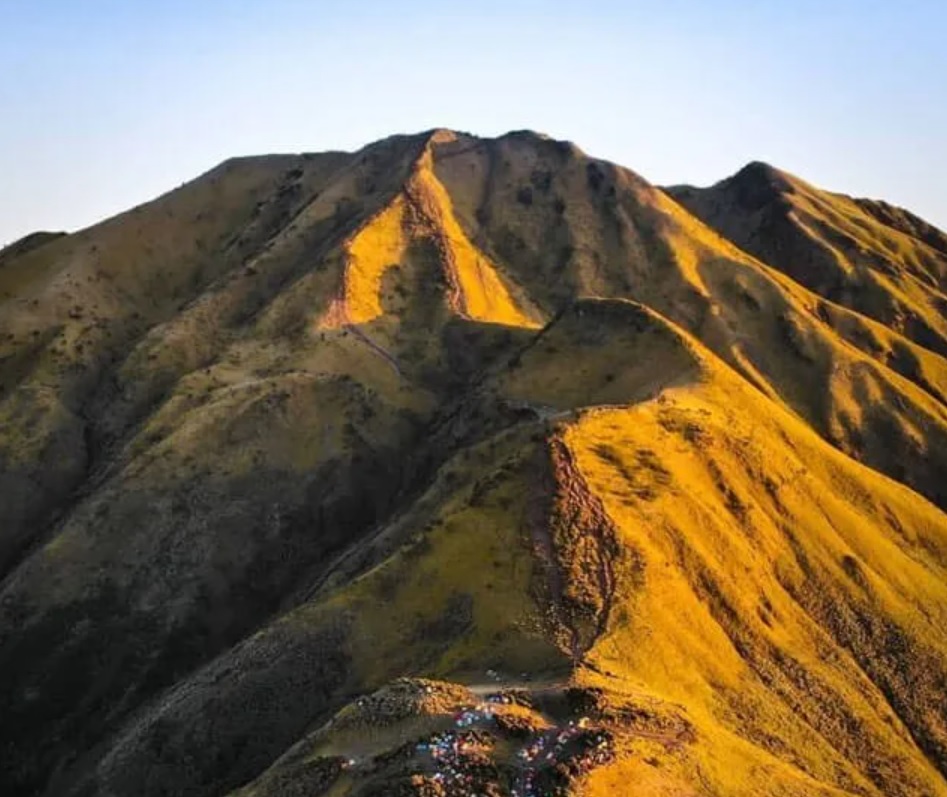
Tamiajeng, Mojokerto, Jatim
Penanggungan via Tamiajeng
- Elev
- 1,653m
- Distance
- 4.6 km
- Duration
- 4.3 hours
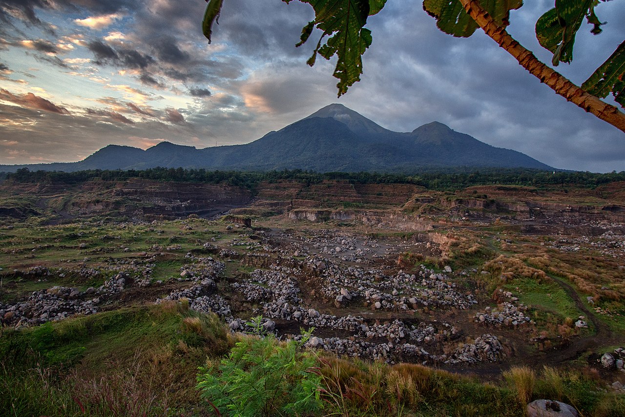
Sebudi, Karangasem, Bali
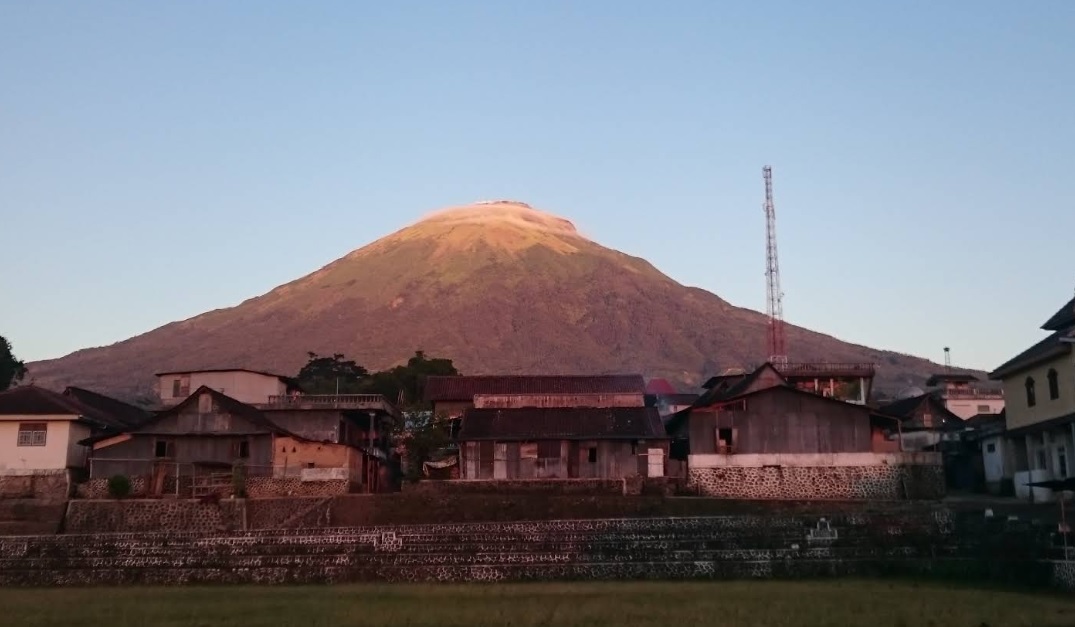
Agung via Pura Pasar Agung
- Elev
- 3,142m
- Distance
- 3.8 km
- Duration
- 6.3 hours
Jimbaran, Semarang, Jateng
Ungaran via Mawar
- Elev
- 2,050m
- Distance
- 4.9 km
- Duration
- 2.9 hours
Girirejo, Magelang, Jateng
Andong via Sawit
- Elev
- 1,726m
- Distance
- 2.2 km
- Duration
- 1.6 hours
Cisantana, Kuningan, Jabar
Ciremai via Palutungan
- Elev
- 3,078m
- Distance
- 10.1 km
- Duration
- 10.0 hours
Kutajaya, Sukabumi, Jabar
Salak via Cimelati
- Elev
- 2,215m
- Distance
- 5.2 km
- Duration
- 4.9 hours
Linggarjati, Kuningan, Jabar
Ciremai via Linggarjati
- Elev
- 3,078m
- Distance
- 9.9 km
- Duration
- 12.1 hours
Sungaijernih, Kerinci, Jambi
Gunung Tujuh via Sungai Jernih
- Elev
- 1,950m
- Distance
- 4.9 km
- Duration
- 5.0 hours
Jatiluwih, Tabanan, Bali
Batukaru via Jatiluwih
- Elev
- 2,276m
- Distance
- 5.2 km
- Duration
- 5.0 hours
Bermi, Probolinggo, Jatim
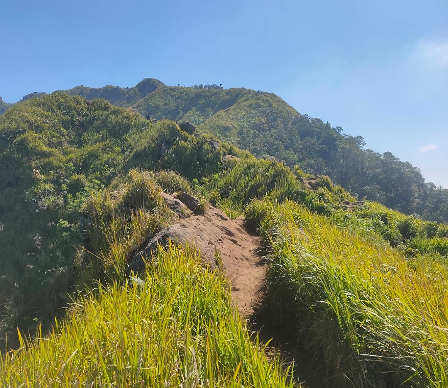
Argopuro via Bremi (Bermi)
Jalur normal trek panjang
Bajulan, Nganjuk, Jatim
Wilis via Bajulan (Jolotundo)
Jalur wisata
Kenalan, Magelang, Jateng
Merbabu via Wekas
Tamiajeng, Mojokerto, Jatim
Penanggungan via Tamiajeng
Jalur favorit wisata pendakian
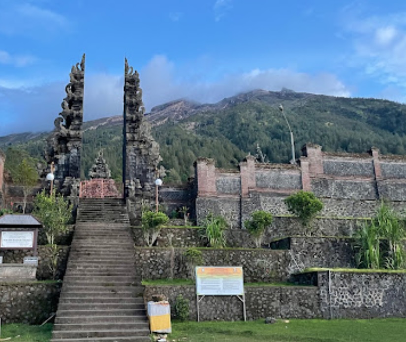
Sebudi, Karangasem, Bali
Agung via Pura Pasar Agung
Jalur alternatif Foto: Michelle Thomas - googlemap (Januari 2024)
Jimbaran, Semarang, Jateng
Ungaran via Mawar
Jalur wisata pendakian favorit Foto: Inung Beni Priyono (googlemap - Juni 2018), nailul muna (googlemap - Desember 2021)
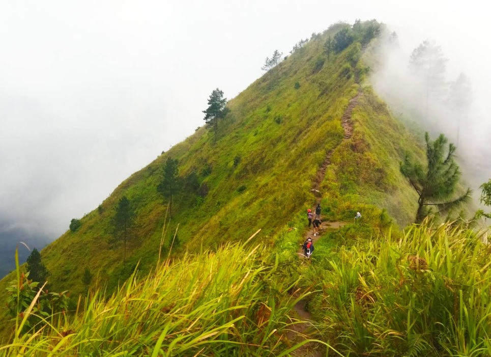
Girirejo, Magelang, Jateng
Andong via Sawit
Jalur wisata favorit Foto: John Stefanus Chandra (googlemap - Desember 2022)
Cisantana, Kuningan, Jabar
Ciremai via Palutungan
Foto: Muhammad Rifki Nurdiansyah (googlemap - Agustus 2024)
Kutajaya, Sukabumi, Jabar
Salak via Cimelati
Jalur pendek Foto: devigoblog.lecturer.umi.ac.id
Linggarjati, Kuningan, Jabar
Ciremai via Linggarjati
Foto: Ismail Husna (googlemap - April 2015), Aris Petir (Googlemap - Agustus 2023)
Sungaijernih, Kerinci, Jambi
Gunung Tujuh via Sungai Jernih
Foto: Supriyanto Wibowo (googlemap - Desember 2018)
Jatiluwih, Tabanan, Bali
Batukaru via Jatiluwih
Jalur utama Foto: Santya Loka Lodge & Twin Waterfall (googlemaps - Desember 2023)
Compare Trails
Which way is tougher — this route or that one?
See two routes up the same mountain, side by side — then decide.
Girirejo, Magelang, Jateng
Andong via Sawit
- Elev
- 1,726m
- Distance
- 2.2 km
- Duration
- 1.6 hours
Girirejo, Magelang, Jateng
Andong via Pendem
- Elev
- 1,726m
- Distance
- 3.0 km
- Duration
- 4.4 hours
Bandungan, Semarang, Jateng
Ungaran via Perantunan
- Elev
- 2,050m
- Distance
- 3.8 km
- Duration
- 3.7 hours
Jimbaran, Semarang, Jateng
Ungaran via Mawar
- Elev
- 2,050m
- Distance
- 4.9 km
- Duration
- 2.9 hours
Overall, Ungaran via Mawar is the more challenging climb.
Compare in full
Kledung, Temanggung, Jateng
Mount Sindoro via Kledung
- Elev
- 3,146m
- Distance
- 3.5 km
- Duration
- 6.0 hours
Bansari, Temanggung, Jateng
Mount Sindoro via Bansari
- Elev
- 3,146m
- Distance
- 7.2 km
- Duration
- 6.5 hours
Overall, Mount Sindoro via Bansari is the more challenging climb.
Compare in full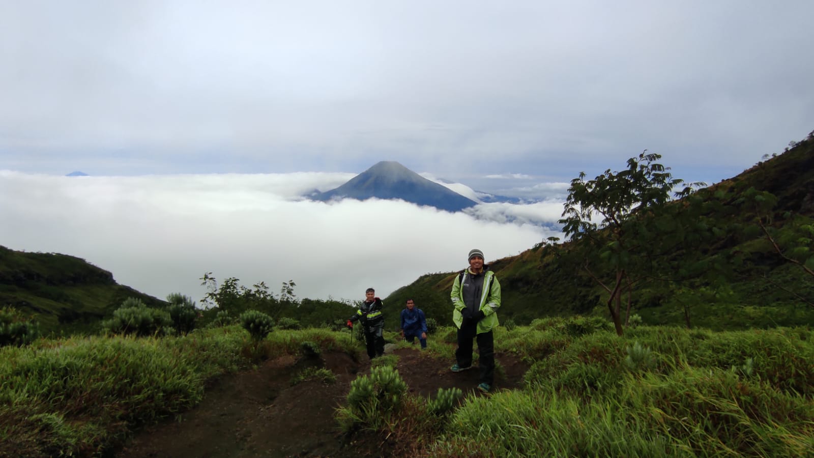
Garung, Wonosobo, Jateng
Sumbing via Garung
- Elev
- 3,371m
- Distance
- 4.2 km
- Duration
- 7.8 hours

Butuh, Temanggung, Jateng
Sumbing via Butuh-Kaliangkrik
- Elev
- 3,371m
- Distance
- 6.6 km
- Duration
- 6.1 hours

Ngancar, Magetan, Jatim
Lawu via Cemoro Sewu
- Elev
- 3,265m
- Distance
- 6.3 km
- Duration
- 4.1 hours
Sarangan, Magetan, Jatim
Lawu via Singolangu
- Elev
- 3,265m
- Distance
- 9.4 km
- Duration
- 6.9 hours
Overall, Lawu via Singolangu is the more challenging climb.
Compare in full
Bermi, Probolinggo, Jatim
Argopuro via Bremi (Bermi)
- Elev
- 3,088m
- Distance
- 19.2 km
- Duration
- 11.6 hours
Suaka Margasatwa Dataran Tinggi Hyang, Indonesia
Argopuro via Baderan
- Elev
- 3,088m
- Distance
- 21.0 km
- Duration
- 8.7 hours
Suroteleng, Boyolali, Jateng
Merbabu via Selo
- Elev
- 3,145m
- Distance
- 5.6 km
- Duration
- 4.8 hours
Banyuroto, Magelang, Jateng
Merbabu via Suwanting
- Elev
- 3,145m
- Distance
- 6.6 km
- Duration
- 7.2 hours
Overall, Merbabu via Suwanting is the more challenging climb.
Compare in full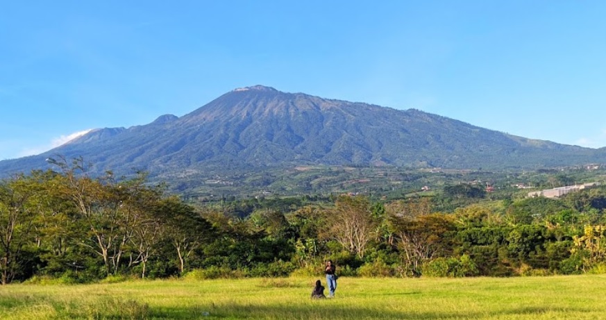
Pecalukan, Pasuruan, Jatim
Arjuno (Arjuna) via Tretes
- Elev
- 3,339m
- Distance
- 12.4 km
- Duration
- 7.3 hours
Toyomarto, Malang, Jatim
Arjuno (Arjuna) via Wonosari Agro Tourism
- Elev
- 3,339m
- Distance
- 10.2 km
- Duration
- 9.3 hours
Cidahu, Sukabumi, Jabar
Salak via Javana Spa Cidahu
- Elev
- 2,215m
- Distance
- 6.6 km
- Duration
- 3.1 hours
Ciapus, Bogor, Jabar
Salak via Ajisaka
- Elev
- 2,215m
- Distance
- 9.2 km
- Duration
- 6.1 hours
Argamukti, Majalengka, Jabar
Ciremai via Apuy
- Elev
- 3,078m
- Distance
- 9.0 km
- Duration
- 5.6 hours
Payung, Majalengka, Jabar
Ciremai via Sadarehe
- Elev
- 3,078m
- Distance
- 6.9 km
- Duration
- 6.2 hours
Overall, Ciremai via Sadarehe is the more challenging climb.
Compare in fullmuncak.id Ecosystem
Three tools. One journey.
Pick a trail here, plan your gear in Bekal, then match your profile in Rekomendasi — all in one ecosystem.
Explore trails, read reviews, check weather forecasts, and watch peak live cams.
Automatic gear list tailored to mountain, duration, and season — synced with your chosen trail.
Trail recommendation system based on experience, fitness, and scenery preferences.


About muncak.id
Public research, for public hikers.
muncak.id is an application designed to help hikers by providing comprehensive and structured mountain hiking guides, so that every step of the journey can be carefully planned.
In addition, this application provides integrated information for hikers who want ease in planning mountain climbing and mountain exploration in Indonesia and abroad. With access to various important information, users can be better prepared and confident in facing the challenges of nature.
Developer
Tropical Adventure Technology Development Center. Industrial Engineering, Geological Engineering and Informatics Laboratory, Universitas Jenderal Soedirman.
Key features
What sets muncak.id apart.
Complete Information
Providing detailed, complete, and reliable information for every hiking trail
Hiker Reviews
Check info accuracy and current trail conditions from other hikers
Weather & Calorie Forecast
View weather forecasts and estimated calories burned during your hike
Maps & Waypoints
Explore maps and key points for easier navigation