Bandung Barat, Jabar
Upas via Trek 11 Karyawangi
4 hikers viewed this trail in the last 7 days
Normal route
Hiking Trail Suitable For Beginner
Statistics
- Elevation Gain
- 542m
-
Total Distance
The value shown is the total ASCENDING distance
- 3.88km
-
Travel Time
This travel time is the time taken for the ASCENDING journey only and does not account for rest stops along the way or overnight stays
- 1.8hours
-
Calories
The value shown is the calories used for ASCENDING and DESCENDING journeys, excluding calories needed during rest stops along the hike or for overnight stays
- kcal
Map & route
View the route
Trail waypoints
Every point along the trail
-
01
Titik awal pendakian
Elev 1560 m -
02
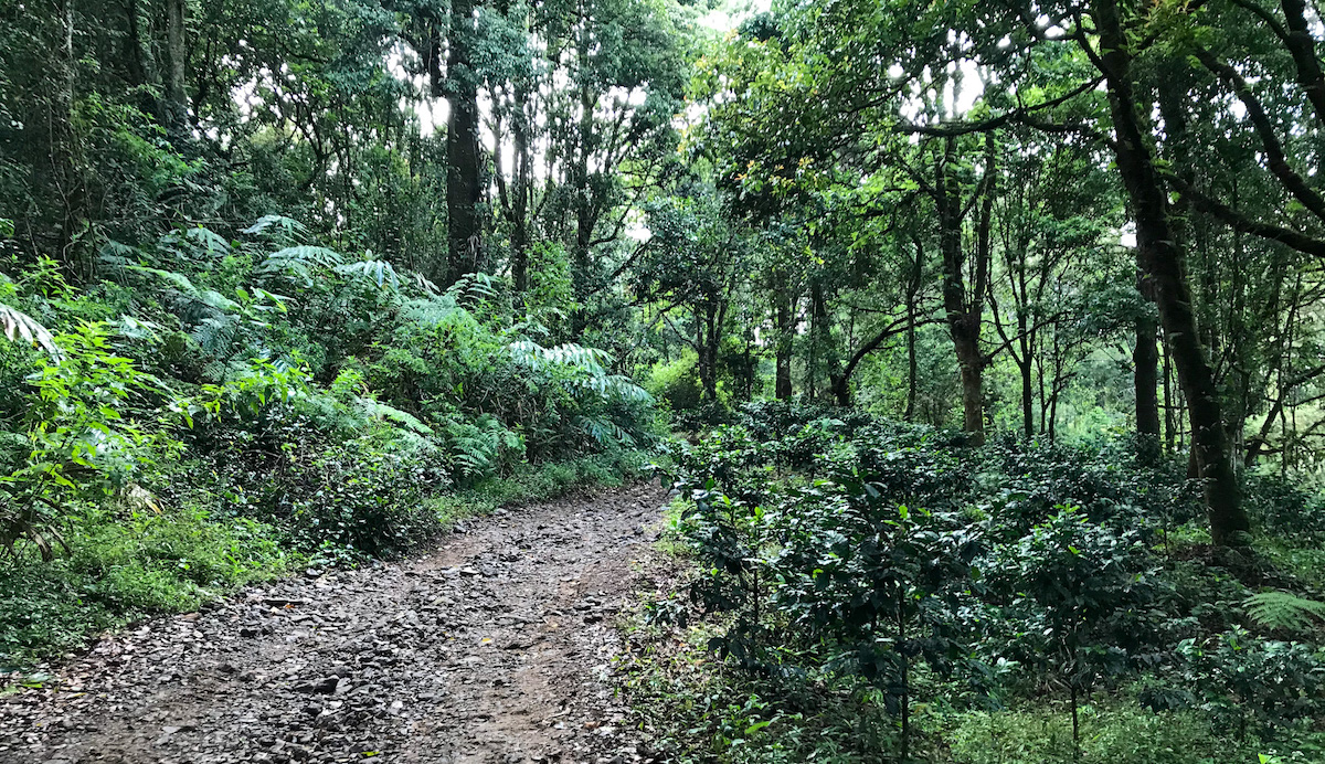
Hutan
Hutan Foto: https://muhdhito.me/2020/10/18/trekking-kebun-teh-sukawana-puncak-gunung-tangkuban-perahu/
Elev 1897 m Duration 1.1 hours Calories 680 kcal -
03
Puncak
Elev 2102 m Duration 1.8 hours Calories 1,133 kcal -
See full segmentation
Elevation profile, distance & time for each segment
Weather Conditions
Forecast at official points
Titik awal pendakian
1,560 m
Thursday
23 July · 13:00

Fog
22 °C
1.9 km/h
Friday
24 July · 13:00

Cloudy
22 °C
4.3 km/h
Saturday
25 July · 13:00

Partly Cloudy
22 °C
6.0 km/h
ⓘ The weather conditions above are data from Open Meteo
See 7-day forecastInformation
Details you need to know
- Water sources along the Gunung Upas hiking trail via Trek 11 Karyawang, also known as Upas Hill, are generally not directly available on the hiking trail itself. Hikers usually bring enough drinking water from the starting point of the hike or look for water sources around the parking area before starting the hike. Some hikers may find small springs near the trail, but their availability cannot be guaranteed at all times. (05-07-2025)
none at this moment
ⓘ Last updated on Senin, 9 Maret 2026
Hiker Reviews
Stories from other hikers
0%
recommend · 0 hikers
Weather forecast
—
No data yet
Trail info
—
No data yet
Water source
—
No data yet
No Reviews Yet
Be the first to share your experience and review this hiking trail!
Error!
An error occurred while fetching reviews for this hiking trail.