Karo, Sumatera Utara
Sibayak via Jaranguda
22 hikers viewed this trail in the last 7 days
A favorite route
Hiking Trail Suitable For Intermediate
Statistics
- Elevation Gain
- 592m
-
Total Distance
The value shown is the total ASCENDING distance
- 9.34km
-
Travel Time
This travel time is the time taken for the ASCENDING journey only and does not account for rest stops along the way or overnight stays
- 2.7hours
-
Calories
The value shown is the calories used for ASCENDING and DESCENDING journeys, excluding calories needed during rest stops along the hike or for overnight stays
- kcal
Map & route
View the route
Trail waypoints
Every point along the trail
-
01
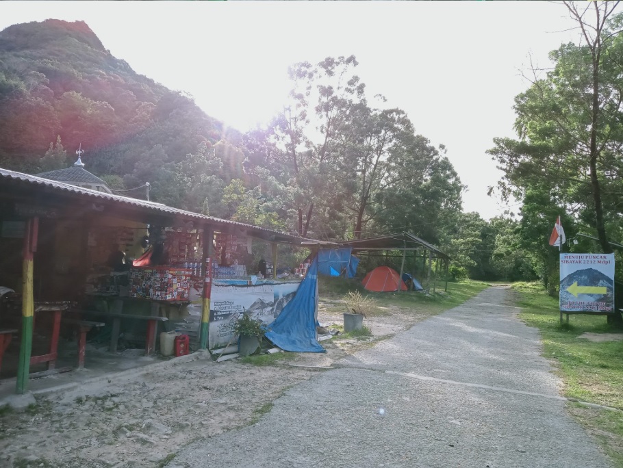
Basecamp Jaranguda
Basecamp jalur favorit Foto: https://trisuci.com/gunung-sibayak-tektok-perdana/
Elev 1435 m -
02
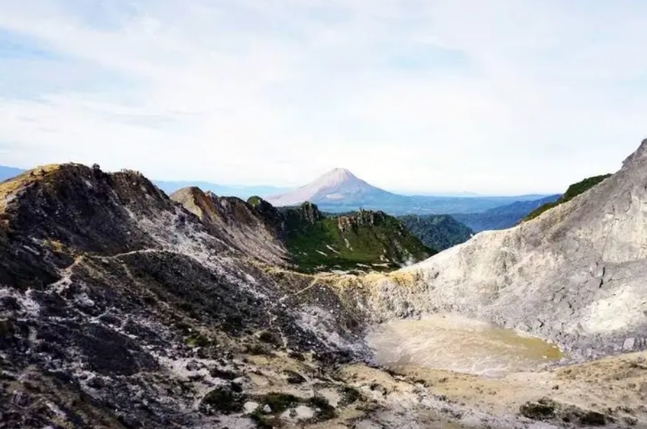
Puncak
Foto: https://www.traveloka.com/id-id/explore/destination/gunung-sibayak-tawarkan-pendakian-mudah-bagi-wisatawan/17300
Elev 2027 m Duration 2.7 hours Calories 1,405 kcal -
See full segmentation
Elevation profile, distance & time for each segment
Weather Conditions
Forecast at official points
Basecamp Jaranguda
1,435 m
Thursday
23 July · 13:00

Fog
23 °C
4.9 km/h
Friday
24 July · 13:00
Fog
23 °C
3.9 km/h
Saturday
25 July · 13:00
Fog
24 °C
7.3 km/h
ⓘ The weather conditions above are data from Open Meteo
See 7-day forecastInformation
Details you need to know
- There is a water source around the Lau Sidebuk-debuk hot spring which is located at the foot of the mountain, but it is recommended to bring enough drinking water, especially if planning to hike for a long time or in hot weather conditions. (05-07-2025)
none at this time
ⓘ Last updated on Senin, 9 Maret 2026
Hiker Reviews
Stories from other hikers
0%
recommend · 0 hikers
Weather forecast
—
No data yet
Trail info
—
No data yet
Water source
—
No data yet
No Reviews Yet
Be the first to share your experience and review this hiking trail!
Error!
An error occurred while fetching reviews for this hiking trail.