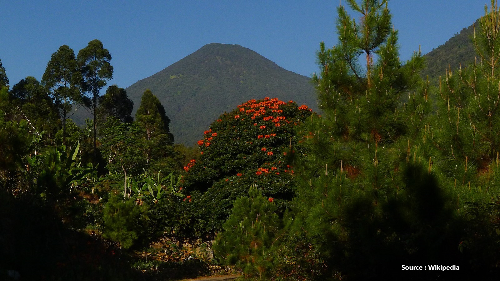
Cianjur, Jabar
Pangrango via Cibodas
Fairly busy
133 hikers viewed this trail in the last 7 days
The peak of Mount Pangrango can be reached through the fastest hiking route that forms an intersection at Kandang Badak from the Cibodas route. The distance to the peak of Mount Pangrango is approximately 4 hours of hiking from the Kandang Badak intersection. Another route that can be used to reach the peak of Mount Pangrango is the Gunung Putri (Cipanas) Route or the Salabintana (Perbawati) Route, where hikers must pass through the peak of Mount Gede first before descending to Kandang Badak. The peak of Mount Pangrango is quite difficult to climb due to its steep slope, which is almost vertical.
Hiking Trail Suitable For Intermediate
Statistics
- Elevation Gain
- 1669m
-
Total Distance
The value shown is the total ASCENDING distance
- 9.98km
-
Travel Time
This travel time is the time taken for the ASCENDING journey only and does not account for rest stops along the way or overnight stays
- 6.1hours
-
Calories
The value shown is the calories used for ASCENDING and DESCENDING journeys, excluding calories needed during rest stops along the hike or for overnight stays
- kcal
Map & route
View the route
Trail waypoints
Every point along the trail
-
01
Basecamp
Elev 1317 m -
02
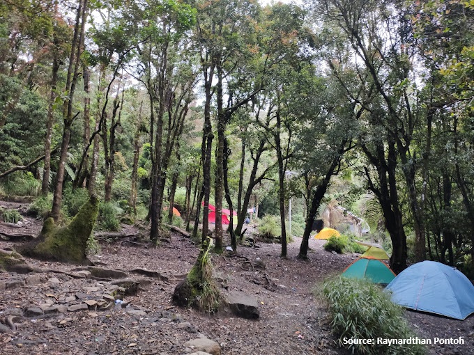
Camp Kandang Badak
Elev 2417 m Duration 3.6 hours Calories 2,376 kcal -
03

Summit
Elev 2991 m Duration 5.9 hours Calories 3,810 kcal -
See full segmentation
Elevation profile, distance & time for each segment
Weather Conditions
Forecast at official points
Basecamp
1,317 m
Thursday
23 July · 13:00

Local Rain
21 °C
4.3 km/h
Friday
24 July · 13:00

Light Rain
22 °C
4.8 km/h
Saturday
25 July · 13:00

Fog
22 °C
4.5 km/h
ⓘ The weather conditions above are data from Open Meteo
See 7-day forecastInformation
Details you need to know
- As of today, there is no new information about hiking and volcanic activities through this route (22-10-25)
- Water sources on the Mount Pangrango hiking trail via Cibodas, hikers are advised to bring enough drinking water because the availability of water sources is limited on the hiking trail. (05-07-2025)
- As of today, there are no new prohibitions related to hiking and volcanic activities through this route (21-01-25).
ⓘ Last updated on Senin, 9 Maret 2026
Hiker Reviews
Stories from other hikers
0%
recommend · 0 hikers
Weather forecast
—
No data yet
Trail info
—
No data yet
Water source
—
No data yet
No Reviews Yet
Be the first to share your experience and review this hiking trail!
Error!
An error occurred while fetching reviews for this hiking trail.