Kerinci, Jambi
Kerinci via Kersik Tuo
18 hikers viewed this trail in the last 7 days
Main route
Hiking Trail Suitable For Expert
Statistics
- Elevation Gain
- 1858m
-
Total Distance
The value shown is the total ASCENDING distance
- 7.50km
-
Travel Time
This travel time is the time taken for the ASCENDING journey only and does not account for rest stops along the way or overnight stays
- 6.4hours
-
Calories
The value shown is the calories used for ASCENDING and DESCENDING journeys, excluding calories needed during rest stops along the hike or for overnight stays
- kcal
Map & route
View the route
Trail waypoints
Every point along the trail
-
01
Basecamp Kersik Tuo
Elev 1667 m -
02
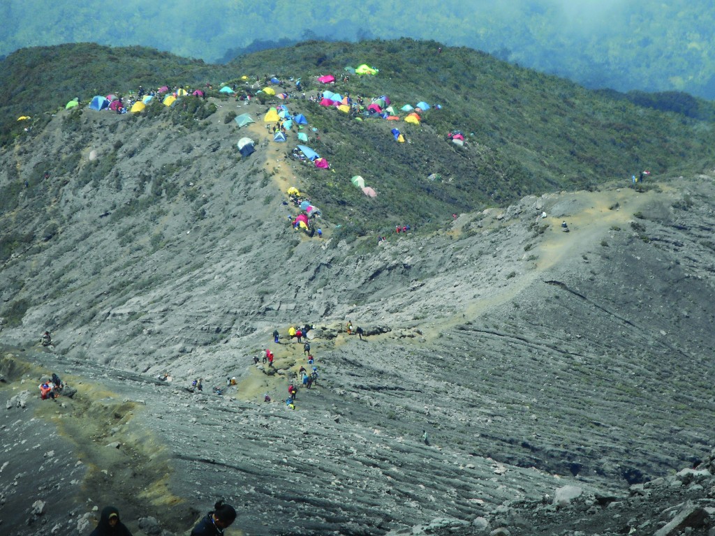
Shelter 3
Camp terakhir sebelum menuju puncak Foto: https://komunikasi.um.ac.id/2015/11/sekepal-tanah-surga-di-indonesia/
Elev 3346 m Duration 5.6 hours Calories 3,776 kcal -
03
Puncak
Elev 3525 m Duration 6.4 hours Calories 4,249 kcal -
See full segmentation
Elevation profile, distance & time for each segment
Weather Conditions
Forecast at official points
Basecamp Kersik Tuo
1,667 m
Thursday
23 July · 13:00

Local Rain
19 °C
9.9 km/h
Friday
24 July · 13:00

Fog
22 °C
8.2 km/h
Saturday
25 July · 13:00

Light Rain
20 °C
12.4 km/h
ⓘ The weather conditions above are data from Open Meteo
See 7-day forecastInformation
Details you need to know
- Water sources on the Kerinci Mountain hiking trail via Kersik Tuo can be found near the Pintu Rimba, about 200 meters after the entrance to the hiking trail. In addition, the Kerinci Seblat National Park (TNKS) has also provided water sources at several points along the hiking trail to facilitate hikers, The condition of the water source can change depending on the season and weather, therefore it is important to always be vigilant and check the condition of the water source before using it. (04-07-2025)
none a while
ⓘ Last updated on Senin, 9 Maret 2026
Hiker Reviews
Stories from other hikers
0%
recommend · 0 hikers
Weather forecast
—
No data yet
Trail info
—
No data yet
Water source
—
No data yet
No Reviews Yet
Be the first to share your experience and review this hiking trail!
Error!
An error occurred while fetching reviews for this hiking trail.