Ternate, Maluku Utara
Gamalama via Moya (Makassar Barat)
6 hikers viewed this trail in the last 7 days
Main hiking trail
Hiking Trail Suitable For Beginner
Statistics
- Elevation Gain
- 1272m
-
Total Distance
The value shown is the total ASCENDING distance
- 6.20km
-
Travel Time
This travel time is the time taken for the ASCENDING journey only and does not account for rest stops along the way or overnight stays
- 4.9hours
-
Calories
The value shown is the calories used for ASCENDING and DESCENDING journeys, excluding calories needed during rest stops along the hike or for overnight stays
- kcal
Map & route
View the route
Trail waypoints
Every point along the trail
-
01
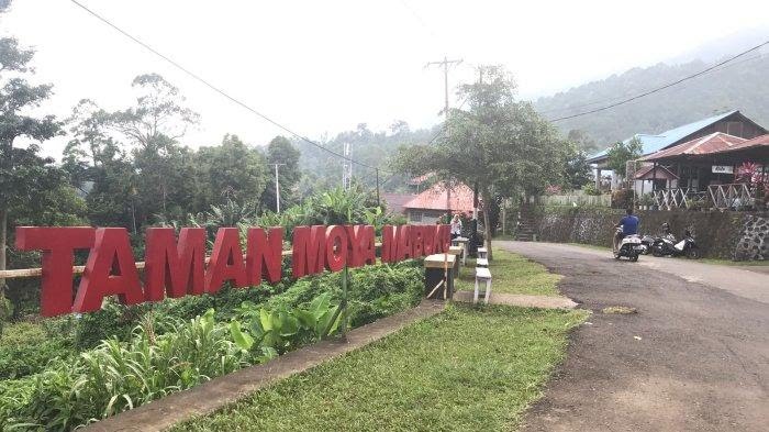
Basecamp Moya
Foto: Laode Havid dan Munawir Taoeda (Tribun Ternate)
Elev 365 m -
02
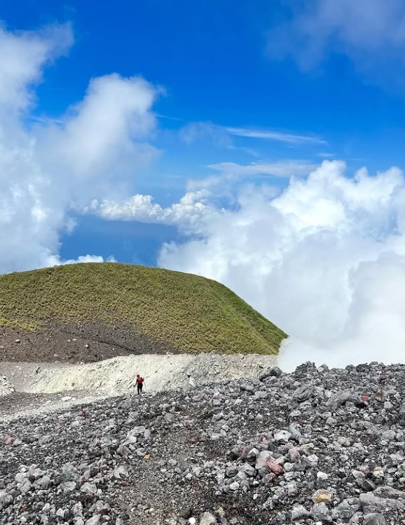
Puncak
Puncak utama Foto: https://www.instagram.com/khansa.syahlaa/p/CyaeW5sOK0U/?img_index=2
Elev 1637 m Duration 4.9 hours Calories 3,175 kcal -
See full segmentation
Elevation profile, distance & time for each segment
Weather Conditions
Forecast at official points
Basecamp Moya
365 m
Thursday
23 July · 13:00

Partly Cloudy
28 °C
17.5 km/h
Friday
24 July · 13:00

Cloudy
27 °C
18.6 km/h
Saturday
25 July · 13:00
Clear
28 °C
16.6 km/h
ⓘ The weather conditions above are data from Open Meteo
See 7-day forecastInformation
Details you need to know
- There are two water sources on the Gamalama Mountain hiking trail via Moya, namely Air Belanda at Post 1 and Air Abdas at Post 4. However, the existence of Air Abdas is not always available, depending on luck. It is recommended that hikers prepare sufficient water supplies during the hike. (05-07-2025)
ⓘ Last updated on Senin, 9 Maret 2026
Hiker Reviews
Stories from other hikers
0%
recommend · 0 hikers
Weather forecast
—
No data yet
Trail info
—
No data yet
Water source
—
No data yet
No Reviews Yet
Be the first to share your experience and review this hiking trail!
Error!
An error occurred while fetching reviews for this hiking trail.