Pasuruan, Jatim
Arjuno (Arjuna) via Tretes
61 hikers viewed this trail in the last 7 days
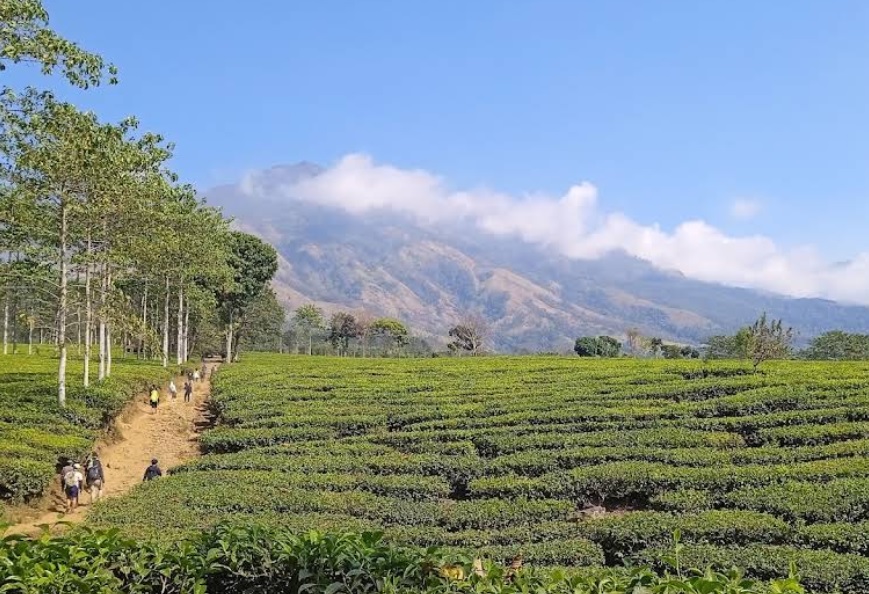
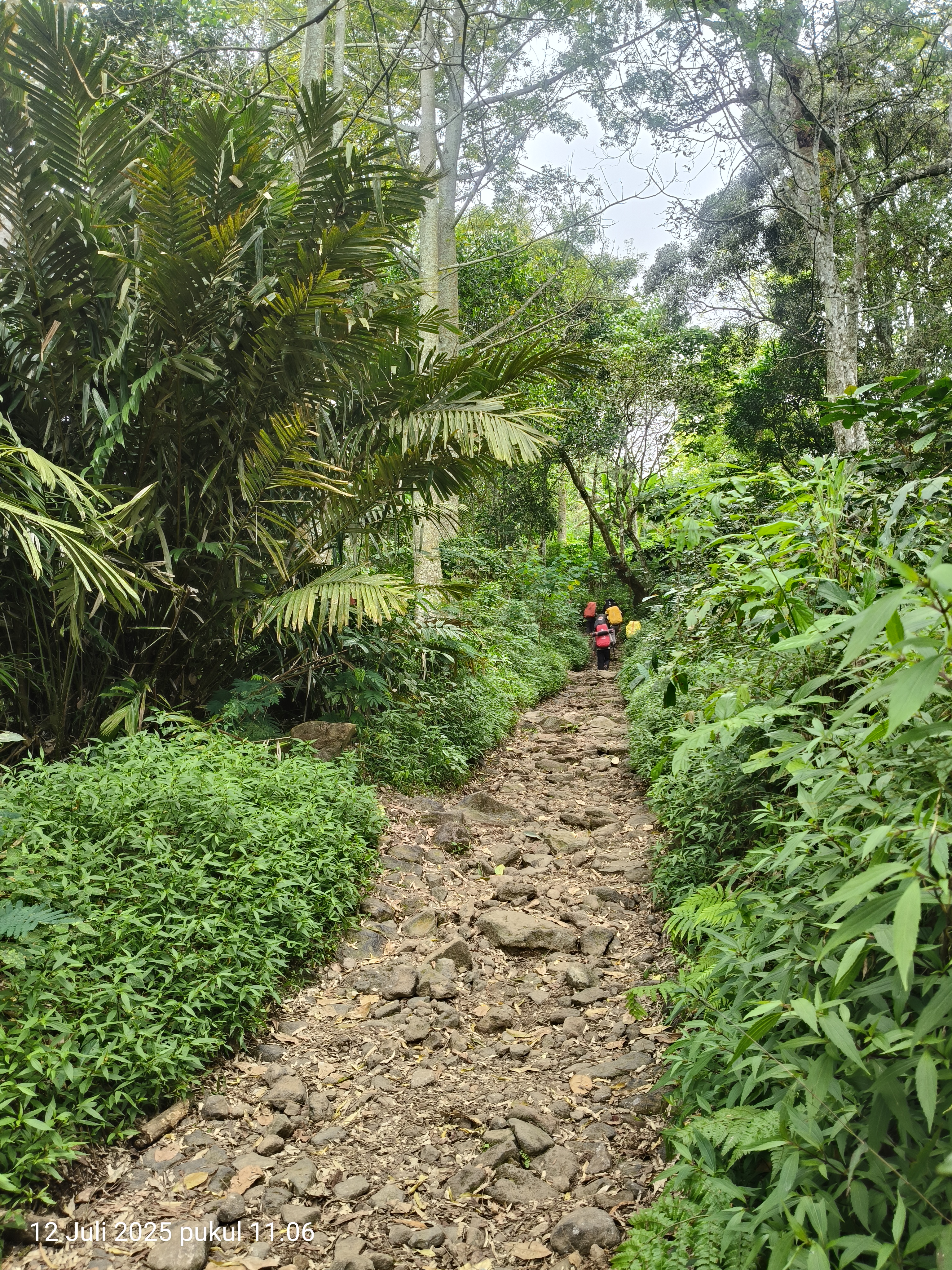
Jalur normal Foto: Achmd Dill (googlemap - September 2022), Fera (googlemap - Juni 2020), Rosyad (googlemap - Agustus 2021)
Hiking Trail Suitable For Expert
Statistics
- Elevation Gain
- 2213m
-
Total Distance
The value shown is the total ASCENDING distance
- 12.41km
-
Travel Time
This travel time is the time taken for the ASCENDING journey only and does not account for rest stops along the way or overnight stays
- 7.3hours
-
Calories
The value shown is the calories used for ASCENDING and DESCENDING journeys, excluding calories needed during rest stops along the hike or for overnight stays
- kcal
Map & route
View the route
Trail waypoints
Every point along the trail
-
01
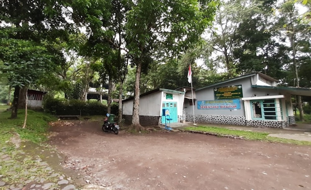
Basecamp Tretes
Foto: Maha Nanta (googlemap - November 2021)
Elev 1009 m -
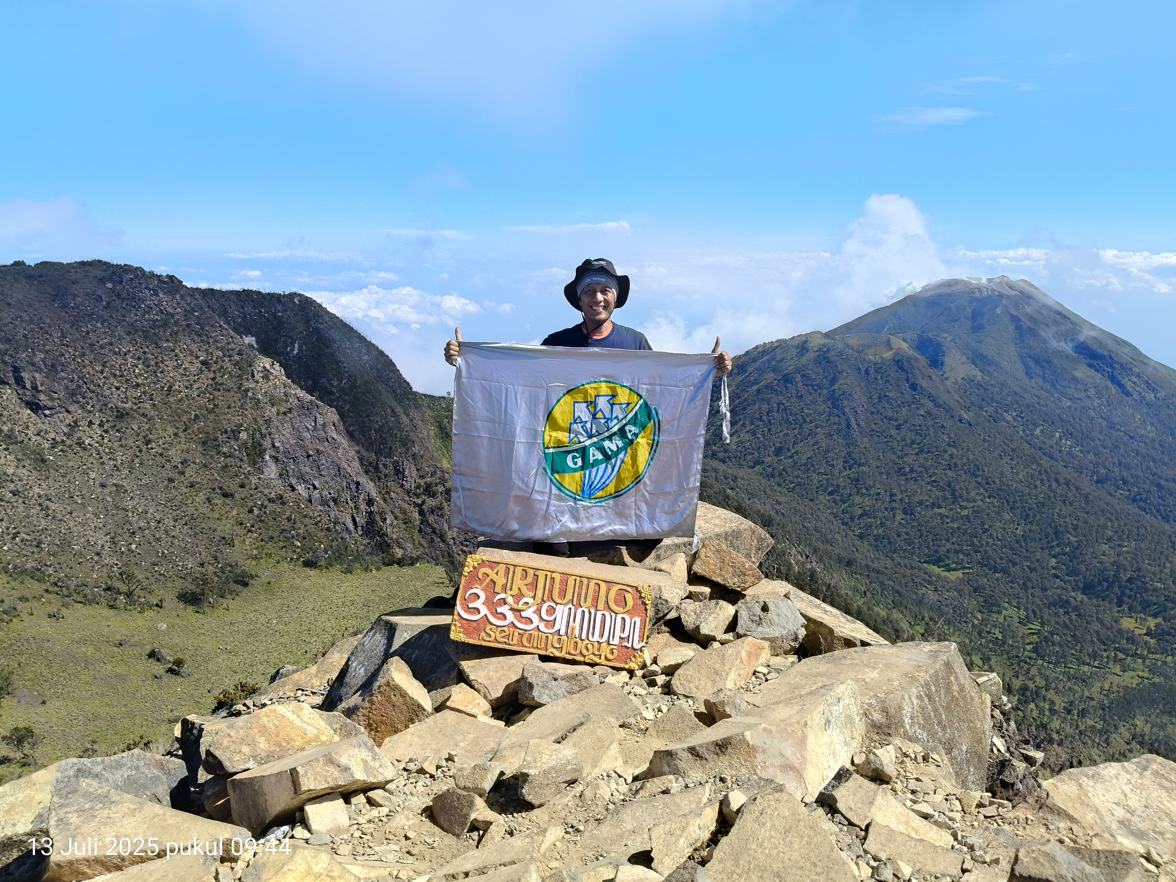
02
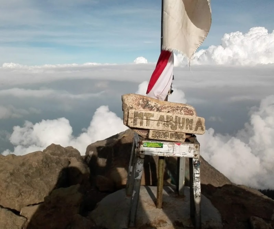
Puncak Arjuno
Foto: Suaparman (googlemap - juli 2018)
Elev 3222 m Duration 7.3 hours Calories 4,845 kcal -
See full segmentation
Elevation profile, distance & time for each segment
Weather Conditions
Forecast at official points
Basecamp Tretes
1,009 m
Tuesday
21 July · 13:00

Local Rain
22 °C
5.9 km/h
Wednesday
22 July · 13:00

Light Rain
22 °C
9.1 km/h
Thursday
23 July · 13:00
Local Rain
21 °C
8.6 km/h
ⓘ The weather conditions above are data from Open Meteo
See 7-day forecastInformation
Details you need to know
- Ada sumber yang menyatakan untuk sumber air di jalur pendakian Gunung Arjuno via Tretes melimpah dan tersedia di setiap pos pendakian. Pendaki dapat memanfaatkan sumber mata air yang ada di Pos Pet Bocor, Pos Kop-kopan, Pos Pondokan, dan Pos Lembang Kidang. (01-07-2025)
none at this time
ⓘ Last updated on Jumat, 3 Juli 2026
Hiker Reviews
Stories from other hikers
100%
recommend · 3 hikers
Weather forecast
—
No data yet
Trail info
—
No data yet
Water source
—
No data yet
No Reviews Yet
Be the first to share your experience and review this hiking trail!
Error!
An error occurred while fetching reviews for this hiking trail.
Other routes