Karangasem, Bali
Agung via The Great Temple of Besakih
Trending
44 hikers viewed this trail in the last 7 days
The most frequently chosen route
Hiking Trail Suitable For Intermediate
Statistics
- Elevation Gain
- 1632m
-
Total Distance
The value shown is the total ASCENDING distance
- 5.74km
-
Travel Time
This travel time is the time taken for the ASCENDING journey only and does not account for rest stops along the way or overnight stays
- 7.5hours
-
Calories
The value shown is the calories used for ASCENDING and DESCENDING journeys, excluding calories needed during rest stops along the hike or for overnight stays
- kcal
Map & route
View the route
Trail waypoints
Every point along the trail
-
01
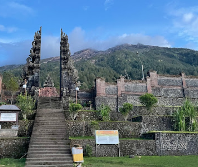
Basecamp via Pura Agung Besakih (Banjar Junggul)
Elev 1341 m -
02
Puncak Agung
Elev 2973 m Duration 7.5 hours Calories 4,300 kcal -
See full segmentation
Elevation profile, distance & time for each segment
Weather Conditions
Forecast at official points
Basecamp via Pura Agung Besakih (Banjar Junggul)
1,341 m
Thursday
23 July · 13:00

Light Rain
17 °C
11.7 km/h
Friday
24 July · 13:00

Fog
18 °C
9.8 km/h
Saturday
25 July · 13:00
Clear
21 °C
8.2 km/h
ⓘ The weather conditions above are data from Open Meteo
See 7-day forecastInformation
Details you need to know
- Status of the hiking trail: Closed from February 25, 2025, for the next 5 days (25-02-2025)
- The water source around Mount Agung, especially those related to the Besakih Temple, is a sacred water source managed and preserved by the surrounding community. It is recommended to bring sufficient water supplies for the trip (19-06-2025)
- The sacred water source named Tirta Suci Giri Kusuma, located at an altitude of 2,062 meters above sea level and considered the highest water source in Mount Agung, but its water cannot be taken arbitrarily (19-06-2025)
ⓘ Last updated on Senin, 9 Maret 2026
Hiker Reviews
Stories from other hikers
0%
recommend · 0 hikers
Weather forecast
—
No data yet
Trail info
—
No data yet
Water source
—
No data yet
No Reviews Yet
Be the first to share your experience and review this hiking trail!
Error!
An error occurred while fetching reviews for this hiking trail.
Other routes