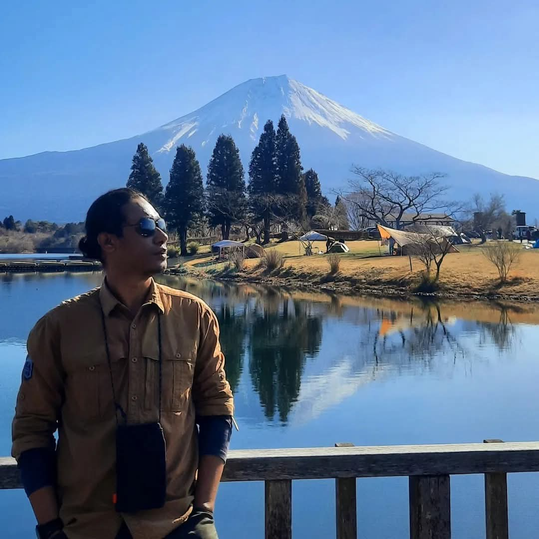
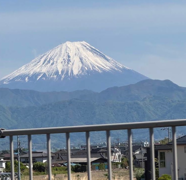
Webcam Mount Fuji from Lake Kawaguchi
Source: isfujivisible.com
Fuji-Hakone-Izu National Park, Japan
1 hikers viewed this trail in the last 7 days
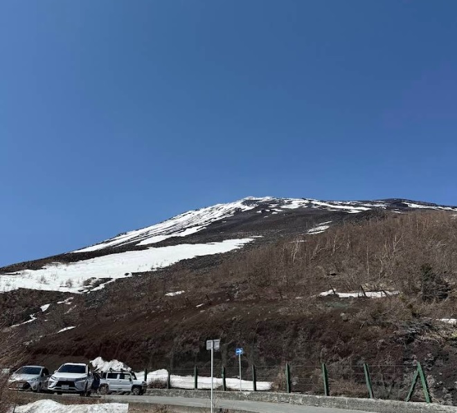
Alternative Hiking Trail. Photo: 御殿場口 (googlemap - Dec 2025)
Hiking Trail Suitable For Experienced
High altitude (3,500–4,000 masl) with high elevation gain (1,500–2,000 m), long trails (10–15 km; 10–20 hours), moderate to steep slopes (25–40°).
Derived from
12.21 km · 2298 m · 3,776 masl · 20.4° · 13.4 hours round trip
Statistics
Map & route
Trail waypoints
See full segmentation
Elevation profile, distance & time for each segment
Weather Conditions
Gotemba 5th Station
1,412 m
Monday
2 November · 13:00

Heavy Rain
12 °C
Tuesday
3 November · 13:00

Partly Cloudy
9 °C
Wednesday
4 November · 13:00
Partly Cloudy
7 °C
ⓘ The weather conditions above are data from Open Meteo
See 7-day forecastWebcam
Source: isfujivisible.com
Source: フジヤマNAVI
ⓘ Each stream is run by its own operator and may drop at any time. The player only loads once you press play.
Information
ⓘ Last updated on Senin, 2 November 2026
Hiker Reviews
Weather forecast
—
No data yet
Trail info
—
No data yet
Water source
—
No data yet
No Reviews Yet
Be the first to share your experience and review this hiking trail!
Other routes
Feedback
Wrong trail data, a forecast that missed, or something broken? Tell us on Instagram — that's where we read and reply.