Plan your hike, before you go.
Providing integrated information for hikers who want ease in planning mountain climbing and mountain exploration in Indonesia and abroad
Hiking Trails
Showing 2 of 170 trails
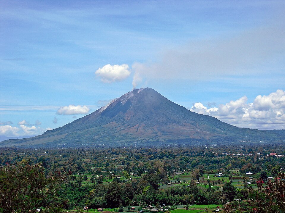
Sigarang-garang, Karo, Sumatera Utara
Sinabung via Sugarang Garang
- Elev
- 2,451m
- Distance
- 4.9 km
- Duration
- 4.8 hours
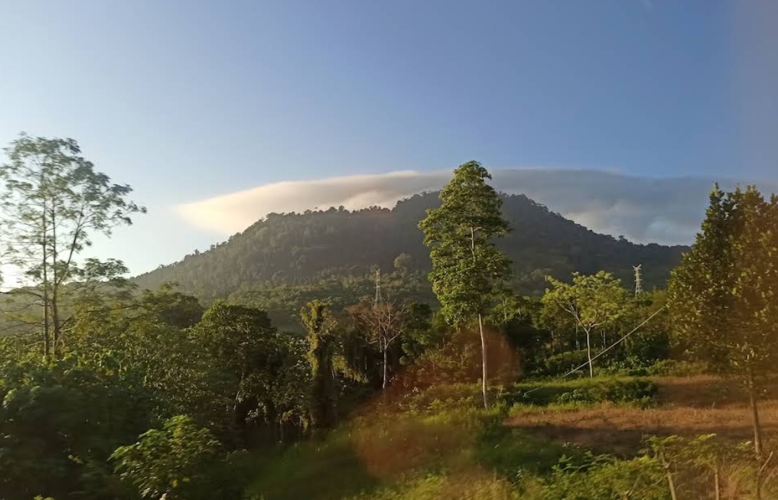
Pasar Paloh, Pidie, Aceh
Goeh Lumo via Mesjid Tuha Padang Tiji
- Elev
- 415m
- Distance
- 17.2 km
- Duration
- 4.6 hours
Sigarang-garang, Karo, Sumatera Utara
Sinabung via Sugarang Garang
Mount Sinabung Deleng Sinabung Sinabung-Gundaling-2010-09-13 Mount Sinabung from Gundaling Hill in 2010 Highest point Elevation 2,451 m (8,041 ft)[1] Listed in Thousands Coordinates 3.17°N 98.392°E Naming Local name Deleng Sinabung Geography Mount Sinabung in SumatraMount SinabungMount Sinabung Karo Regency, North Sumatra, Indonesia Mountain range Barisan Mountains Geology Rock age Pleistocene Mountain type Stratovolcano Last eruption Ongoing (31 August 2026) Mount Sinabung (Karo Batak language: Deleng Sinabung) is a volcano in the Karo Highlands, Karo Regency, North Sumatra, Indonesia. Sinabung, together with nearby Mount Sibayak, is one of two active volcanoes in North Sumatra and is the second highest peak in the province after Mount Sibuatan. The mountain's elevation is 2,451 meters. (Wikipedia)
Pasar Paloh, Pidie, Aceh
Goeh Lumo via Mesjid Tuha Padang Tiji
Tourist Hiking Trail. Photo: 20-033 Maulizar Zamzami (googlemap - January 2022)
Compare Trails
Which way is tougher — this route or that one?
See two routes up the same mountain, side by side — then decide.
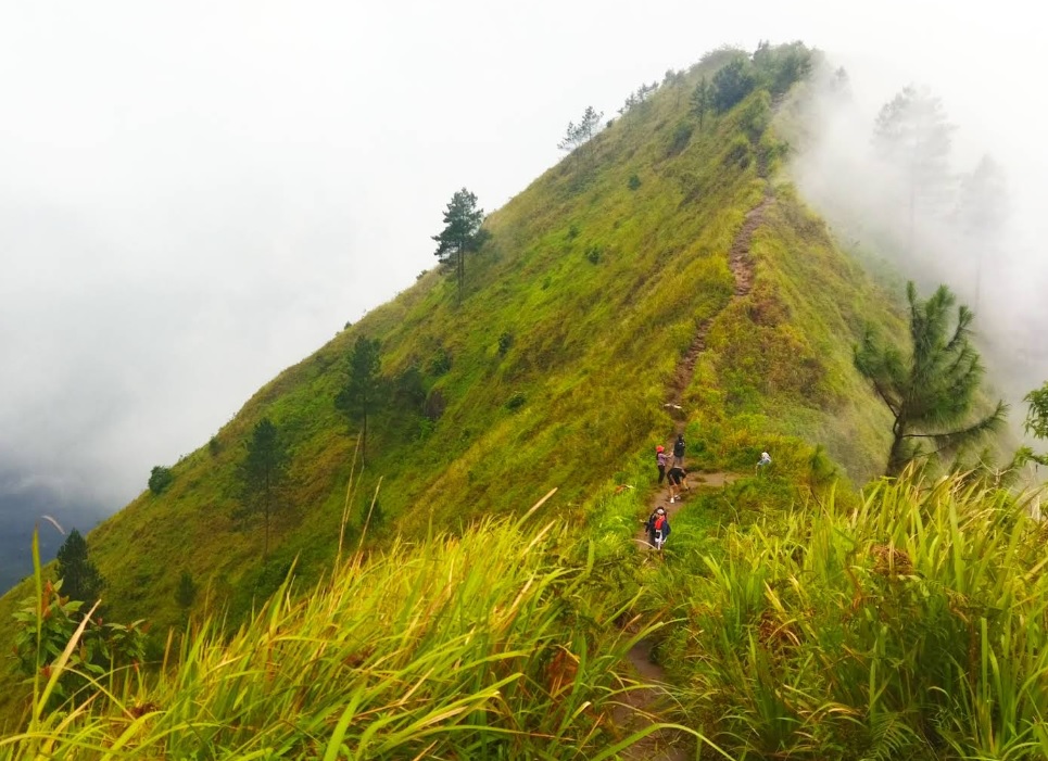
Girirejo, Magelang, Jateng
Andong via Sawit
- Elev
- 1,726m
- Distance
- 2.2 km
- Duration
- 1.6 hours
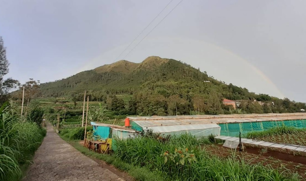
Girirejo, Magelang, Jateng
Andong via Pendem
- Elev
- 1,726m
- Distance
- 3.0 km
- Duration
- 4.4 hours
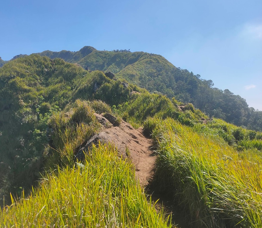
Bandungan, Semarang, Jateng
Ungaran via Perantunan
- Elev
- 2,050m
- Distance
- 3.8 km
- Duration
- 3.7 hours
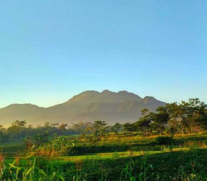
Jimbaran, Semarang, Jateng
Ungaran via Mawar
- Elev
- 2,050m
- Distance
- 4.9 km
- Duration
- 2.9 hours
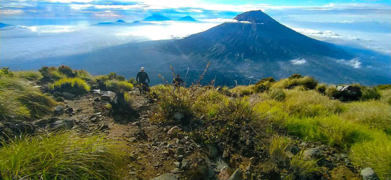
Kledung, Temanggung, Jateng
Mount Sindoro via Kledung
- Elev
- 3,146m
- Distance
- 3.5 km
- Duration
- 6.0 hours
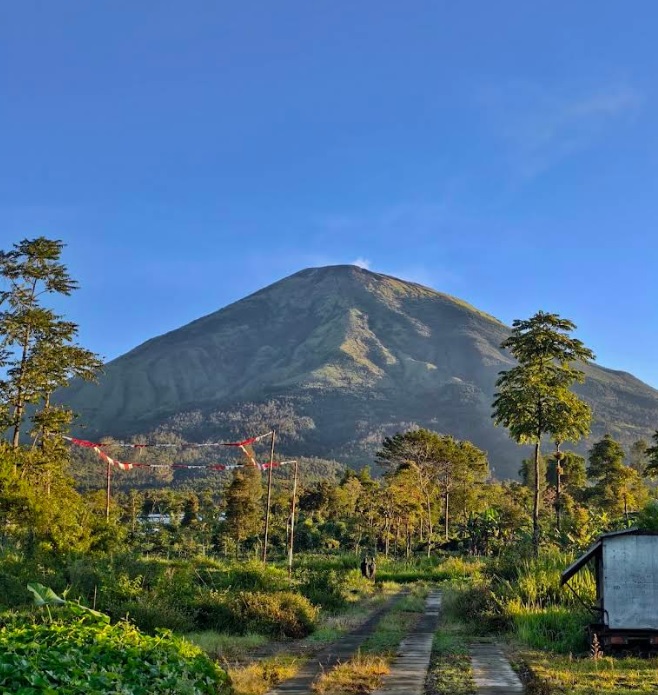
Kapencar, Wonosobo, Jateng
Mount Sindoro via Watu Lunyu
- Elev
- 3,146m
- Distance
- 8.1 km
- Duration
- 6.5 hours
Overall, Mount Sindoro via Watu Lunyu is the more challenging climb.
Compare in full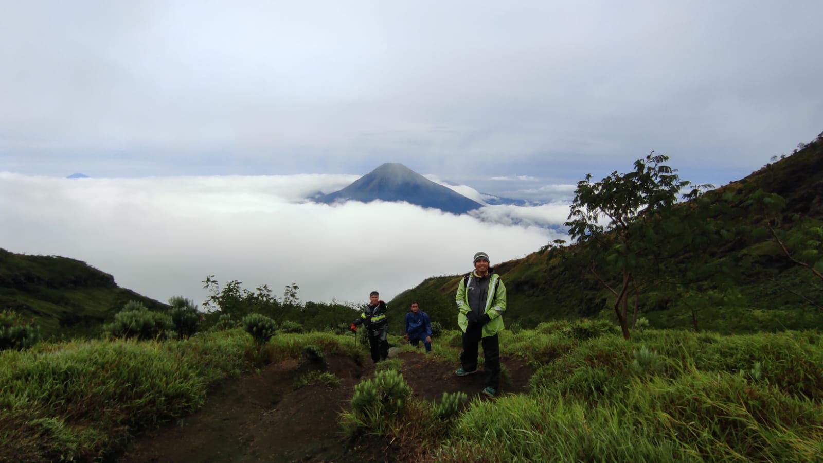
Garung, Wonosobo, Jateng
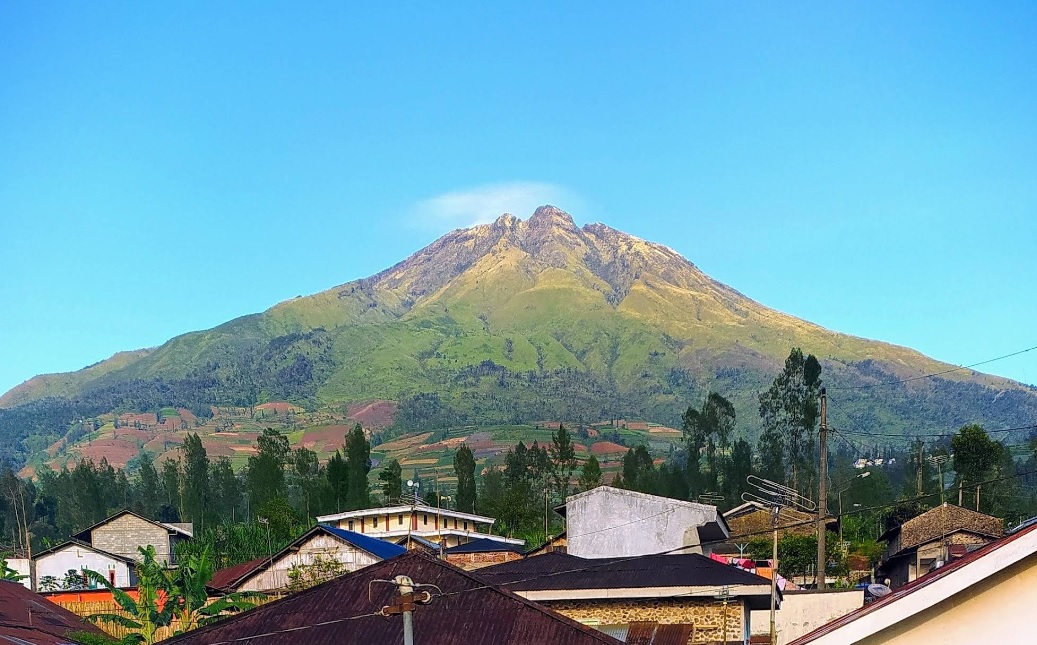
Sumbing via Garung
- Elev
- 3,371m
- Distance
- 4.2 km
- Duration
- 7.8 hours
lamuk, Wonosobo, Jateng
Sumbing via Gajah Mungkur
- Elev
- 3,371m
- Distance
- 8.3 km
- Duration
- 9.1 hours
Overall, Sumbing via Gajah Mungkur is the more challenging climb.
Compare in full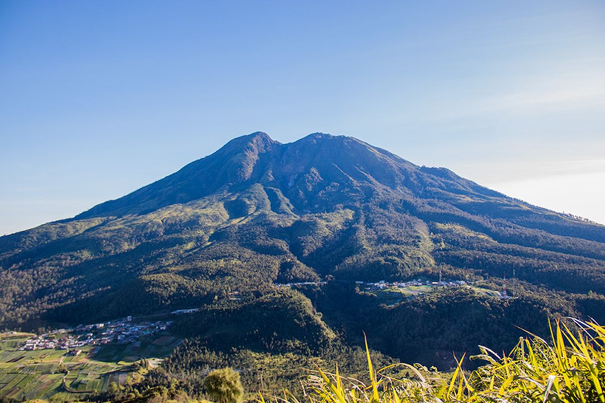
Ngancar, Magetan, Jatim
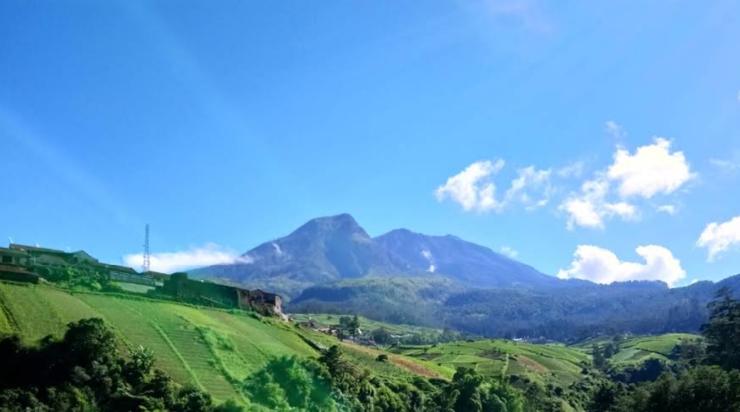
Lawu via Cemoro Sewu
- Elev
- 3,265m
- Distance
- 6.3 km
- Duration
- 4.1 hours
Sarangan, Magetan, Jatim
Lawu via Singolangu
- Elev
- 3,265m
- Distance
- 9.4 km
- Duration
- 6.9 hours
Overall, Lawu via Singolangu is the more challenging climb.
Compare in full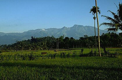
Bermi, Probolinggo, Jatim
Argopuro via Bremi (Bermi)
- Elev
- 3,088m
- Distance
- 19.2 km
- Duration
- 11.6 hours
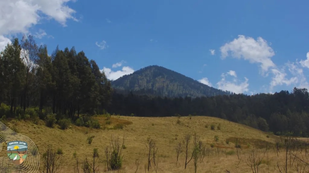
Suaka Margasatwa Dataran Tinggi Hyang, Indonesia
Argopuro via Baderan
- Elev
- 3,088m
- Distance
- 21.0 km
- Duration
- 8.7 hours
Suroteleng, Boyolali, Jateng
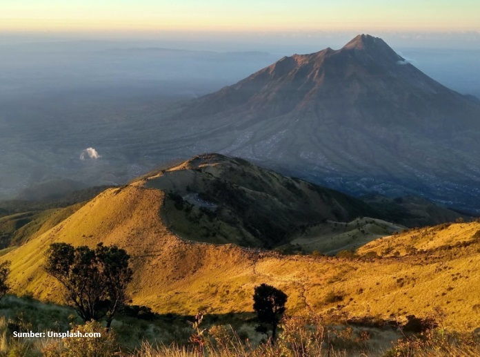
Merbabu via Selo
- Elev
- 3,145m
- Distance
- 5.6 km
- Duration
- 4.8 hours
Banyuroto, Magelang, Jateng
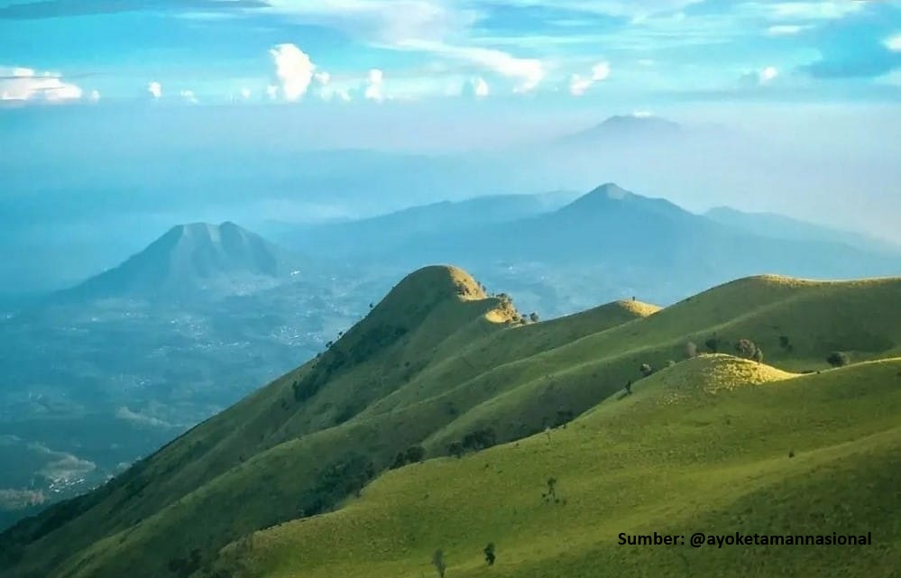
Merbabu via Suwanting
- Elev
- 3,145m
- Distance
- 6.6 km
- Duration
- 7.2 hours
Overall, Merbabu via Suwanting is the more challenging climb.
Compare in full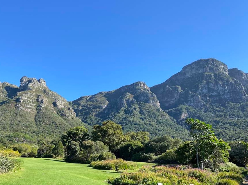
Table Mountain National Park, South Africa
Maclear's Beacon via Botanical Gardens
- Elev
- 1,085m
- Distance
- 5.4 km
- Duration
- 3.8 hours

Table Mountain National Park, South Africa
Maclear's Beacon via Aerial Cableway Trail
- Elev
- 1,085m
- Distance
- 8.0 km
- Duration
- 9.4 hours
Overall, Maclear's Beacon via Aerial Cableway Trail is the more challenging climb.
Compare in full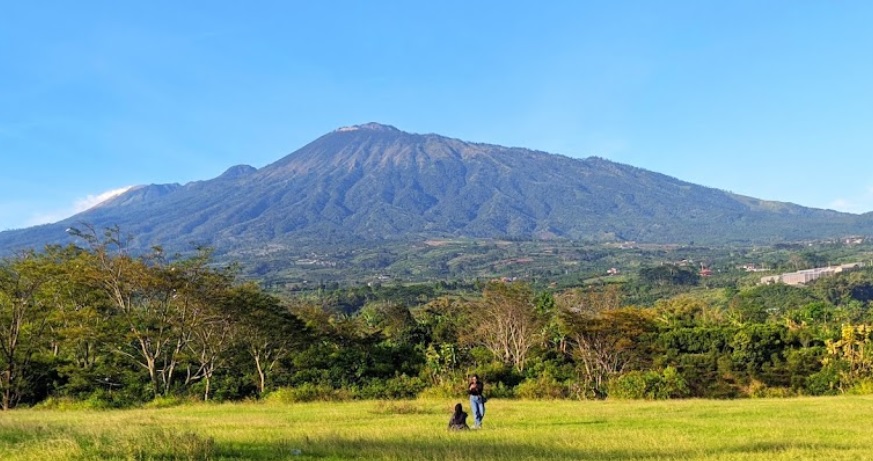
Pecalukan, Pasuruan, Jatim
Arjuno (Arjuna) via Tretes
- Elev
- 3,339m
- Distance
- 12.4 km
- Duration
- 7.3 hours
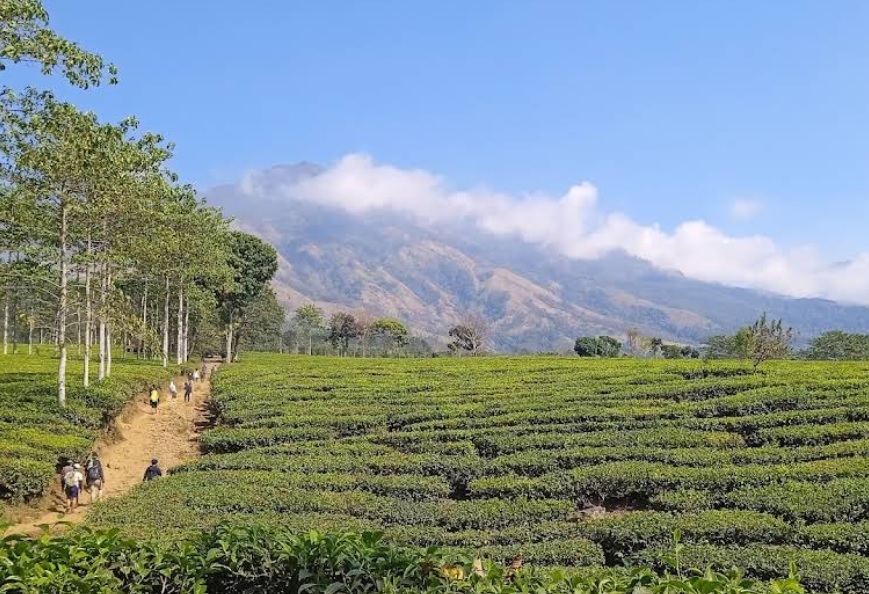
Toyomarto, Malang, Jatim
Arjuno (Arjuna) via Wonosari Agro Tourism
- Elev
- 3,339m
- Distance
- 10.2 km
- Duration
- 9.3 hours
Cidahu, Sukabumi, Jabar
Salak via Javana Spa Cidahu
- Elev
- 2,215m
- Distance
- 6.6 km
- Duration
- 3.1 hours
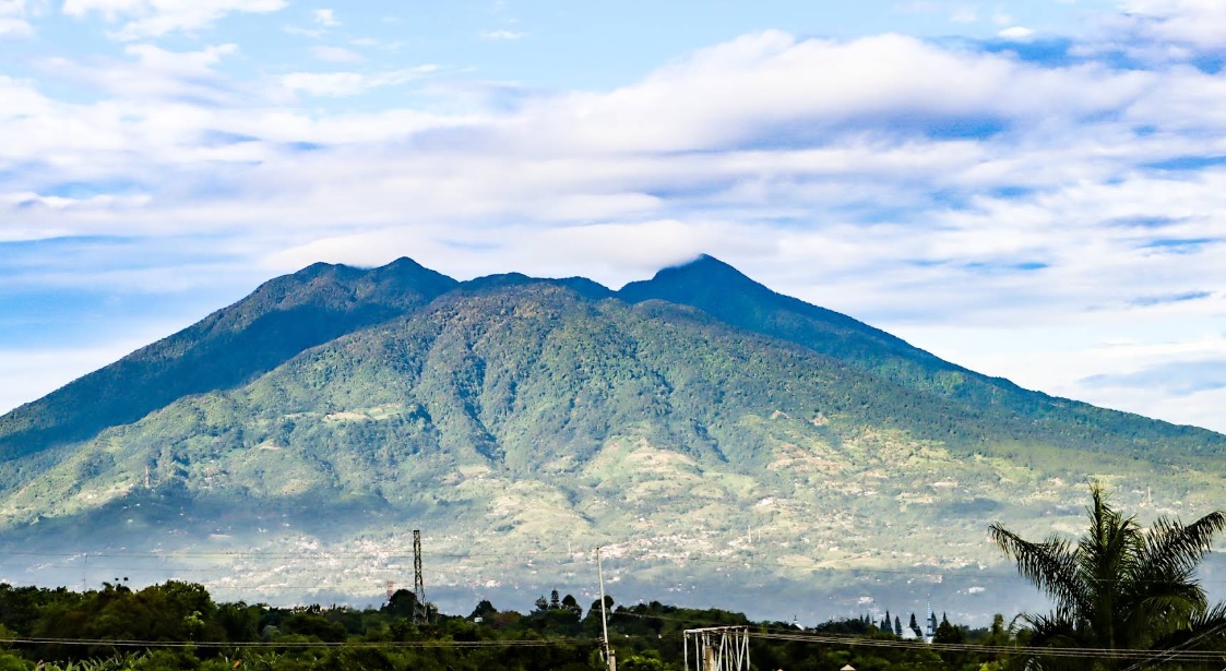
Ciapus, Bogor, Jabar
Salak via Ajisaka
- Elev
- 2,215m
- Distance
- 9.2 km
- Duration
- 6.1 hours
muncak.id Ecosystem
Three tools. One journey.
Pick a trail, plan your provisions, then match your profile in Rekomendasi — all in one ecosystem.
 muncak.id
Explore trails, read reviews, check weather forecasts, and watch peak live cams.
Work out calories, water, weight, and pack fit for the trail you picked — against a real product catalog.
Trail recommendation system based on experience, fitness, and scenery preferences.


About muncak.id
Public research, for public hikers.
muncak.id is an application designed to help hikers by providing comprehensive and structured mountain hiking guides, so that every step of the journey can be carefully planned.
In addition, this application provides integrated information for hikers who want ease in planning mountain climbing and mountain exploration in Indonesia and abroad. With access to various important information, users can be better prepared and confident in facing the challenges of nature.
Developer
Tropical Adventure Technology Development Center. Industrial Engineering, Geological Engineering and Informatics Laboratory, Universitas Jenderal Soedirman.
Key features
What sets muncak.id apart.
Complete Information
Providing detailed, complete, and reliable information for every hiking trail
Hiker Reviews
Check info accuracy and current trail conditions from other hikers
Weather & Calorie Forecast
View weather forecasts and estimated calories burned during your hike
Maps & Waypoints
Explore maps and key points for easier navigation
Feedback
Help us improve accuracy and reliability
Wrong trail data, a forecast that missed, or something broken? Tell us on Instagram — that's where we read and reply.