Plan your hike, before you go.
Providing integrated information for hikers who want ease in planning mountain climbing and mountain exploration in Indonesia and abroad
Hiking Trails
Showing 12 of 170 trails

Tetebatu Selatan, Lombok Timur, NTB
Tetebatu via Flush Harmony [-Loop-]
- Elev
- 643m
- Distance
- 7.1 km
- Duration
- 1.7 hours

Sugihmukti, Bandung, Jabar
Kawah Putih via Situ Patenggang
- Elev
- 2,430m
- Distance
- 9.0 km
- Duration
- 3.0 hours

Sindulang, Sumedang, Jabar
Kerenceng via Sindulang
- Elev
- 1,736m
- Distance
- 3.6 km
- Duration
- 2.1 hours

Rantau Malam, Sintang, Kalimantan Barat
Bukit Raya via Remukoi
- Elev
- 2,278m
- Distance
- 31.0 km
- Duration
- 14.9 hours

Gamsungi, Halmahera Barat, Maluku Utara
Gamkonora via Gamsungi
- Elev
- 1,560m
- Distance
- 6.4 km
- Duration
- 4.7 hours

Mulakoli, Nagekeo, NTT
Ebulobo via Mulakoli
- Elev
- 2,137m
- Distance
- 5.1 km
- Duration
- 5.0 hours

Jontona, Lembata, NTT
Lewotolo via Jontona
- Elev
- 1,423m
- Distance
- 7.6 km
- Duration
- 5.0 hours

Panusupan, Purbalingga, Jateng
Janglangas via Wisata Alam Penjalin Mas
- Elev
- 1,202m
- Distance
- 1.3 km
- Duration
- 0.8 hours

Tanjung, Ende, NTT
Iya via Tanjung
- Elev
- 637m
- Distance
- 3.1 km
- Duration
- 2.0 hours

Garung, Wonosobo, Jateng
Kembang via Lengkong
- Elev
- 2,340m
- Distance
- 3.2 km
- Duration
- 1.9 hours
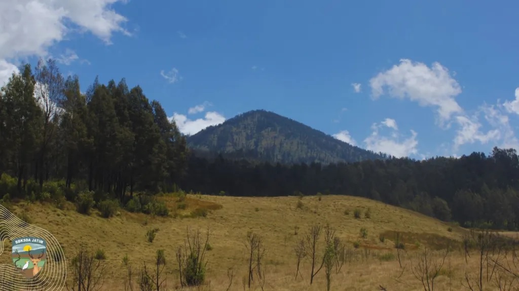
Baderan, Situbondo, Jatim
Argopuro via Baderan
- Elev
- 3,088m
- Distance
- 21.0 km
- Duration
- 8.7 hours

Pejukutan, Klungkung, Bali
Diamond Cliff via Atuh Beach
- Elev
- 143m
- Distance
- 1.1 km
- Duration
- 0.9 hours
Tetebatu Selatan, Lombok Timur, NTB
Tetebatu via Flush Harmony [-Loop-]
Jalur Pariwisata. Foto: Flush Harmony (googlemap - Juni 2025)
Sugihmukti, Bandung, Jabar
Kawah Putih via Situ Patenggang
Jalur Wisata. Foto: Anita Yuliani (googlemap - Agustus 2024), Realino Deva (googlemap - april 2023)
Sindulang, Sumedang, Jabar
Kerenceng via Sindulang
Jalur Wisata. Foto: Rafli Emd (googlemap - September 2018), IG: @keygreenwood
Rantau Malam, Sintang, Kalimantan Barat
Bukit Raya via Remukoi
Titik Tertinggi di Kalimantan Barat. Photo: gpriority.co.id (8 November 2022)
Gamsungi, Halmahera Barat, Maluku Utara
Gamkonora via Gamsungi
Gunung Api Aktif. Photo: Diyah Puspitaningrum (googlemap - March 2014)
Mulakoli, Nagekeo, NTT
Ebulobo via Mulakoli
Volcano. Photo: Johnson Thia (googlemap - June 2019)
Jontona, Lembata, NTT
Lewotolo via Jontona
Active Volcano. Photo: Sandro Wangak (googlemap - October 2022)
Panusupan, Purbalingga, Jateng
Janglangas via Wisata Alam Penjalin Mas
Tujuan Wisata. Foto: Muhammad Nur Fuadi (googlemap-Juli 2025)
Tanjung, Ende, NTT
Iya via Tanjung
Gunung Api Aktif. Photo: Muhammad Chandra Abrianto (googlemap - Oktober 2022)
Garung, Wonosobo, Jateng
Kembang via Lengkong
Tourist Destination. Photo: Mukti Galuh Nuriadi (googlemap - November 2024)
Baderan, Situbondo, Jatim
Argopuro via Baderan
Jalur Terpanjang di Jawa. Foto: bbksdajatim.org (July 2025)
Pejukutan, Klungkung, Bali
Diamond Cliff via Atuh Beach
Tourist Destination. Photo: Oksana O (googlemap - April 2022)
Compare Trails
Which way is tougher — this route or that one?
See two routes up the same mountain, side by side — then decide.
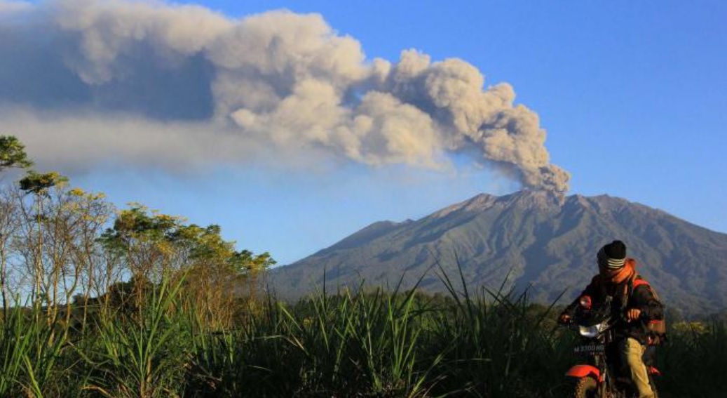
Tegaljati, Bondowoso, Jatim
Raung via Sumberwringin
- Elev
- 3,332m
- Distance
- 10.3 km
- Duration
- 7.6 hours
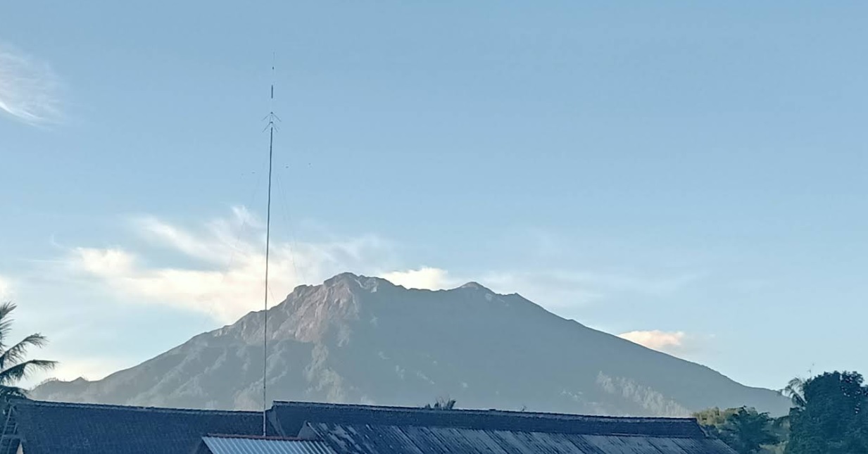
Kalibaruwetan, Banyuwangi, Jatim
Raung via Kalibaruwetan
- Elev
- 3,332m
- Distance
- 15.4 km
- Duration
- 12.0 hours
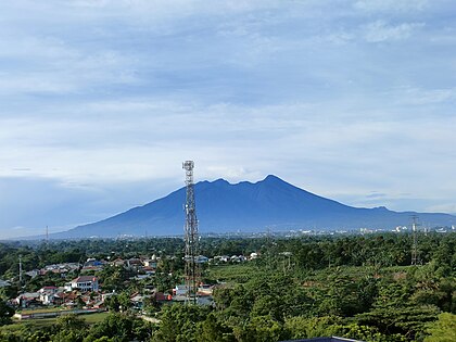
Cidahu, Sukabumi, Jabar
Salak via Javana Spa Cidahu
- Elev
- 2,215m
- Distance
- 6.6 km
- Duration
- 3.1 hours
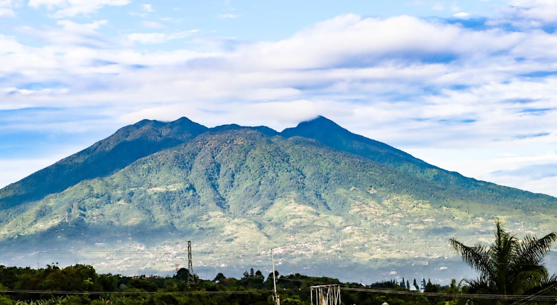
Ciapus, Bogor, Jabar
Salak via Ajisaka
- Elev
- 2,215m
- Distance
- 9.2 km
- Duration
- 6.1 hours
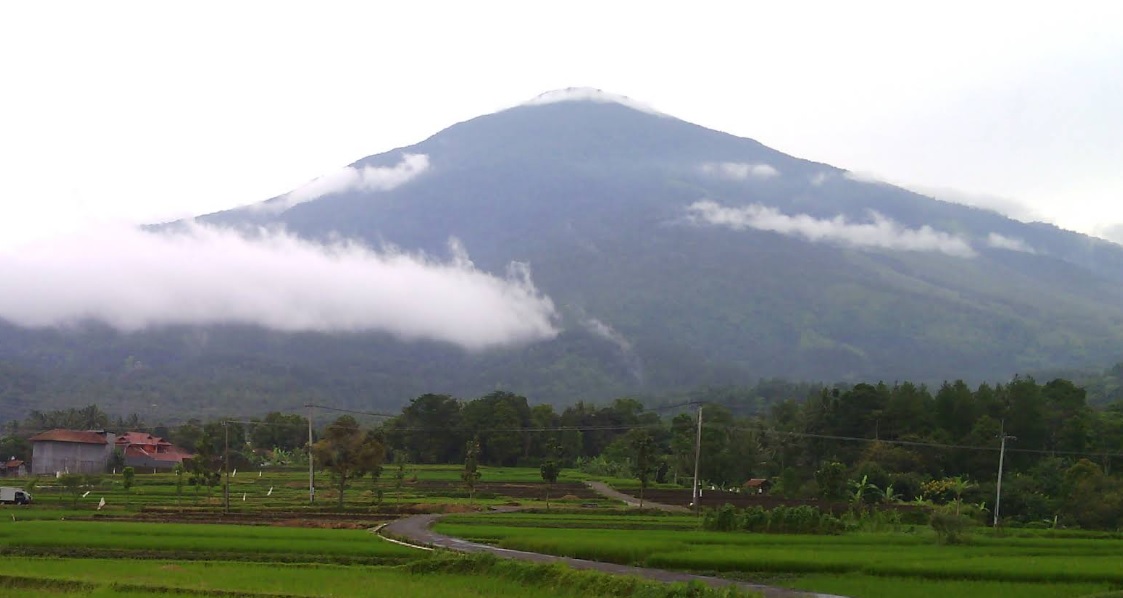
Argamukti, Majalengka, Jabar
Ciremai via Apuy
- Elev
- 3,078m
- Distance
- 9.0 km
- Duration
- 5.6 hours
Linggarjati, Kuningan, Jabar
Ciremai via Linggarjati
- Elev
- 3,078m
- Distance
- 9.9 km
- Duration
- 12.1 hours
Overall, Ciremai via Linggarjati is the more challenging climb.
Compare in full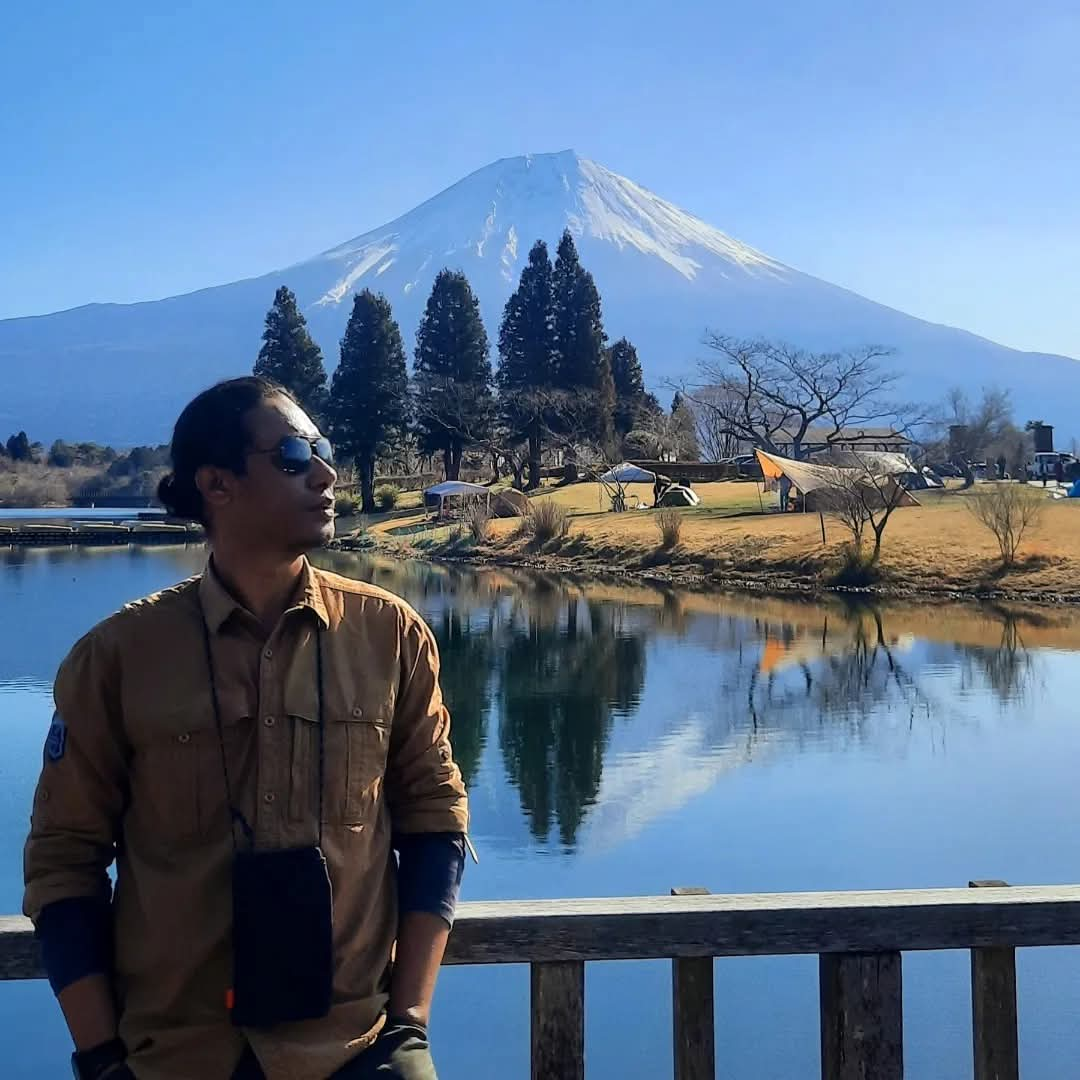 Featured
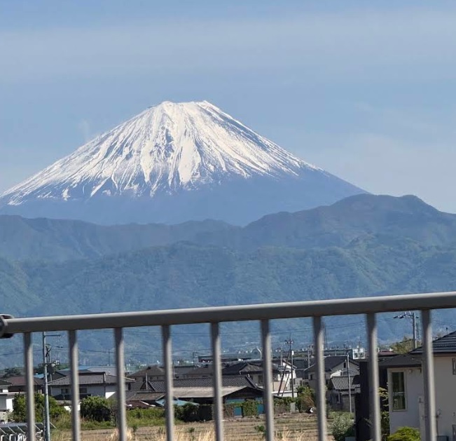
Fuji-Hakone-Izu National Park, Japan
Fuji via 5th Station Lounge
- Elev
- 3,776m
- Distance
- 7.8 km
- Duration
- 4.5 hours
Sunto District, Japan
Fuji via Subashiri Trail
- Elev
- 3,776m
- Distance
- 9.5 km
- Duration
- 5.4 hours
Overall, Fuji via Subashiri Trail is the more challenging climb.
Compare in full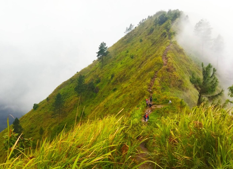
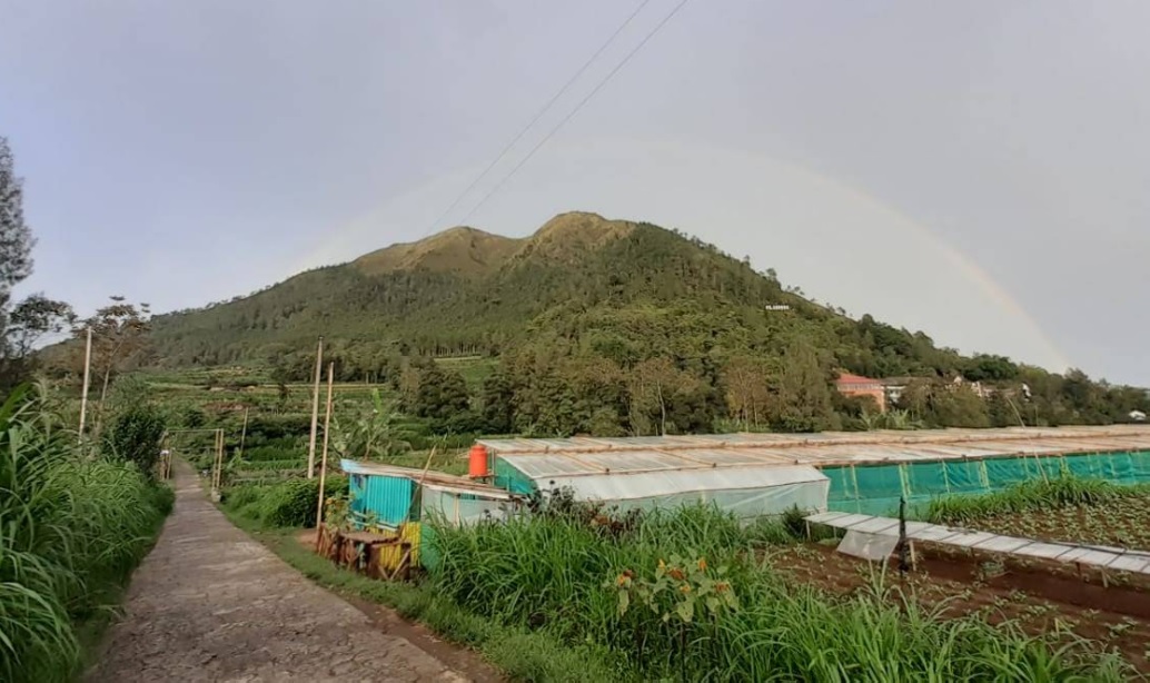
Girirejo, Magelang, Jateng
Andong via Sawit
- Elev
- 1,726m
- Distance
- 2.2 km
- Duration
- 1.6 hours
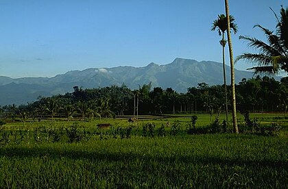
Girirejo, Magelang, Jateng
Andong via Pendem
- Elev
- 1,726m
- Distance
- 3.0 km
- Duration
- 4.4 hours
Bermi, Probolinggo, Jatim
Argopuro via Bremi (Bermi)
- Elev
- 3,088m
- Distance
- 19.2 km
- Duration
- 11.6 hours
Suaka Margasatwa Dataran Tinggi Hyang, Indonesia
Argopuro via Baderan
- Elev
- 3,088m
- Distance
- 21.0 km
- Duration
- 8.7 hours
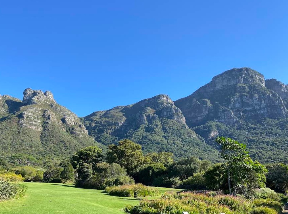
Table Mountain National Park, South Africa
Maclear's Beacon via Botanical Gardens
- Elev
- 1,085m
- Distance
- 5.4 km
- Duration
- 3.8 hours

Table Mountain National Park, South Africa
Maclear's Beacon via Aerial Cableway Trail
- Elev
- 1,085m
- Distance
- 8.0 km
- Duration
- 9.4 hours
Overall, Maclear's Beacon via Aerial Cableway Trail is the more challenging climb.
Compare in full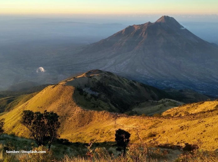
Suroteleng, Boyolali, Jateng
Merbabu via Selo
- Elev
- 3,145m
- Distance
- 5.6 km
- Duration
- 4.8 hours
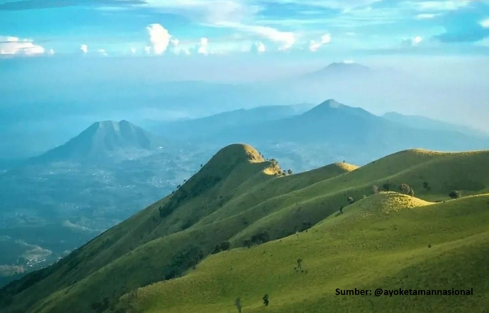
Banyuroto, Magelang, Jateng
Merbabu via Suwanting
- Elev
- 3,145m
- Distance
- 6.6 km
- Duration
- 7.2 hours
Overall, Merbabu via Suwanting is the more challenging climb.
Compare in full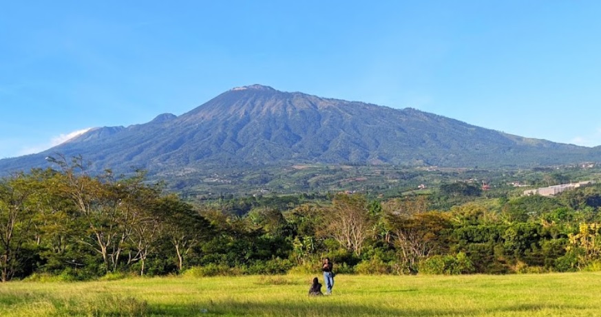
Pecalukan, Pasuruan, Jatim
Arjuno (Arjuna) via Tretes
- Elev
- 3,339m
- Distance
- 12.4 km
- Duration
- 7.3 hours
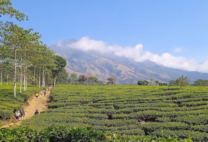
Toyomarto, Malang, Jatim
Arjuno (Arjuna) via Wonosari Agro Tourism
- Elev
- 3,339m
- Distance
- 10.2 km
- Duration
- 9.3 hours
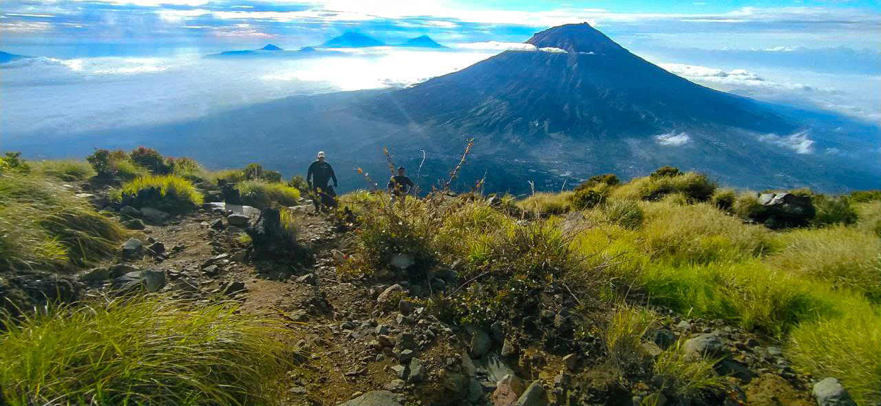
Kledung, Temanggung, Jateng
Mount Sindoro via Kledung
- Elev
- 3,146m
- Distance
- 3.5 km
- Duration
- 6.0 hours
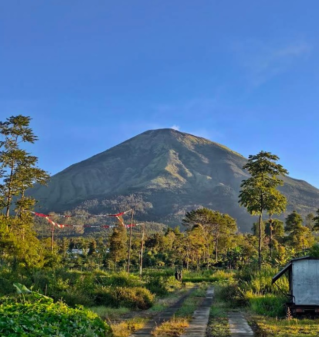
Kapencar, Wonosobo, Jateng
Mount Sindoro via Watu Lunyu
- Elev
- 3,146m
- Distance
- 8.1 km
- Duration
- 6.5 hours
Overall, Mount Sindoro via Watu Lunyu is the more challenging climb.
Compare in fullmuncak.id Ecosystem
Three tools. One journey.
Pick a trail, plan your provisions, then match your profile in Rekomendasi — all in one ecosystem.
 muncak.id
Explore trails, read reviews, check weather forecasts, and watch peak live cams.
Work out calories, water, weight, and pack fit for the trail you picked — against a real product catalog.
Trail recommendation system based on experience, fitness, and scenery preferences.


About muncak.id
Public research, for public hikers.
muncak.id is an application designed to help hikers by providing comprehensive and structured mountain hiking guides, so that every step of the journey can be carefully planned.
In addition, this application provides integrated information for hikers who want ease in planning mountain climbing and mountain exploration in Indonesia and abroad. With access to various important information, users can be better prepared and confident in facing the challenges of nature.
Developer
Tropical Adventure Technology Development Center. Industrial Engineering, Geological Engineering and Informatics Laboratory, Universitas Jenderal Soedirman.
Key features
What sets muncak.id apart.
Complete Information
Providing detailed, complete, and reliable information for every hiking trail
Hiker Reviews
Check info accuracy and current trail conditions from other hikers
Weather & Calorie Forecast
View weather forecasts and estimated calories burned during your hike
Maps & Waypoints
Explore maps and key points for easier navigation
Feedback
Help us improve accuracy and reliability
Wrong trail data, a forecast that missed, or something broken? Tell us on Instagram — that's where we read and reply.