Dompu, NTB
Tambora via Pancasila
8 hikers viewed this trail in the last 7 days
Main route
Hiking Trail Suitable For Intermediate
Statistics
- Elevation Gain
- 1360m
-
Total Distance
The value shown is the total ASCENDING distance
- 9.08km
-
Travel Time
This travel time is the time taken for the ASCENDING journey only and does not account for rest stops along the way or overnight stays
- 4.1hours
-
Calories
The value shown is the calories used for ASCENDING and DESCENDING journeys, excluding calories needed during rest stops along the hike or for overnight stays
- kcal
Map & route
View the route
Trail waypoints
Every point along the trail
-
01
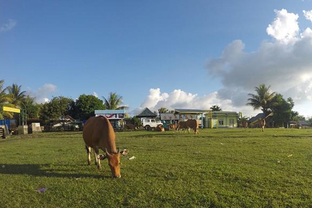
Dusun Pancasila
Titik awal pendakian Foto: kompas.com/sri anindiati nursastri
Elev 1347 m -
02
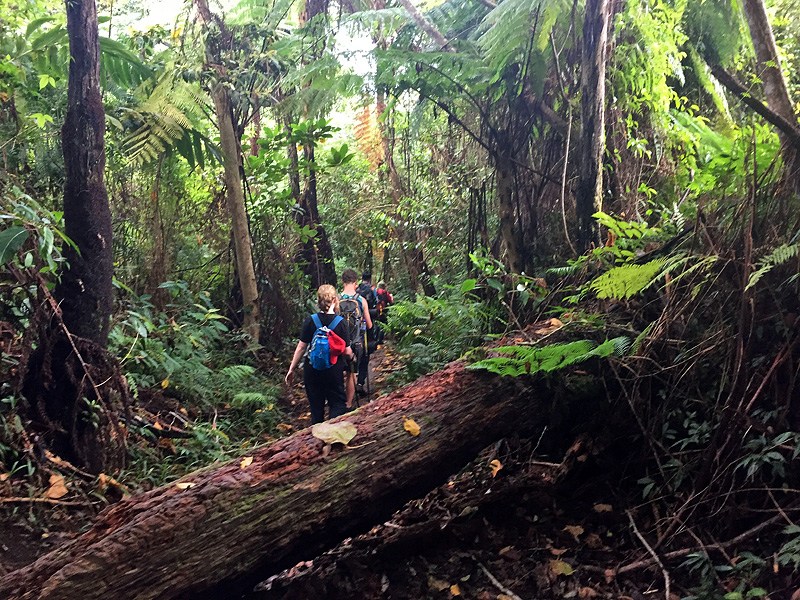
Hutan
Kondisi hutan yang dilewati jalur Foto: https://jelajahtambora.wordpress.com/lengkap-jalur-pendakian-gunung-tambora/
Elev 1372 m Duration 0.1 hours Calories 48 kcal -
03
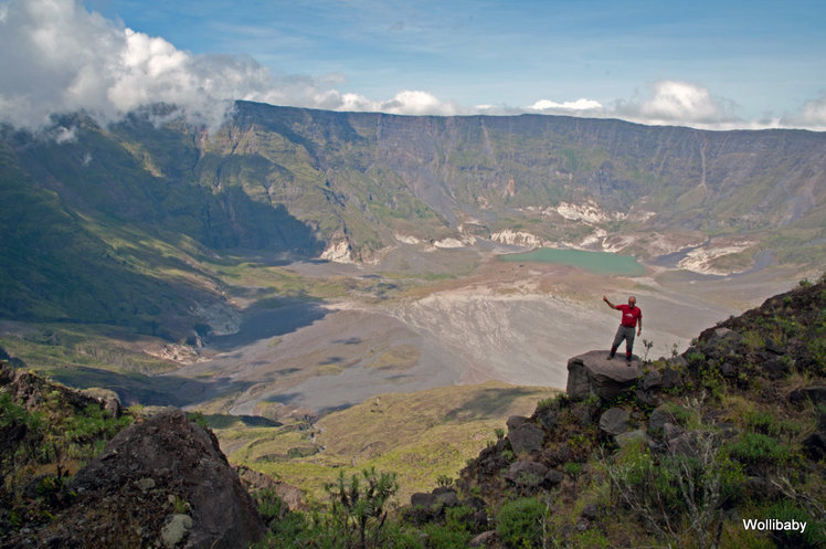
Puncak Kaldera
Foto: mountain-forecast.com
Elev 2707 m Duration 4.1 hours Calories 2,714 kcal -
See full segmentation
Elevation profile, distance & time for each segment
Weather Conditions
Forecast at official points
Dusun Pancasila
1,347 m
Wednesday
22 July · 13:00

Light Rain
19 °C
7.9 km/h
Thursday
23 July · 13:00
Clear
19 °C
12.6 km/h
Friday
24 July · 13:00

Fog
19 °C
8.9 km/h
ⓘ The weather conditions above are data from Open Meteo
See 7-day forecastInformation
Details you need to know
- There is information about water sources only at post 1, or about 150m from post 1, so hikers must bring enough water from below. (02-07-2025)
none at this time
ⓘ Last updated on Senin, 9 Maret 2026
Hiker Reviews
Stories from other hikers
0%
recommend · 0 hikers
Weather forecast
—
No data yet
Trail info
—
No data yet
Water source
—
No data yet
No Reviews Yet
Be the first to share your experience and review this hiking trail!
Error!
An error occurred while fetching reviews for this hiking trail.